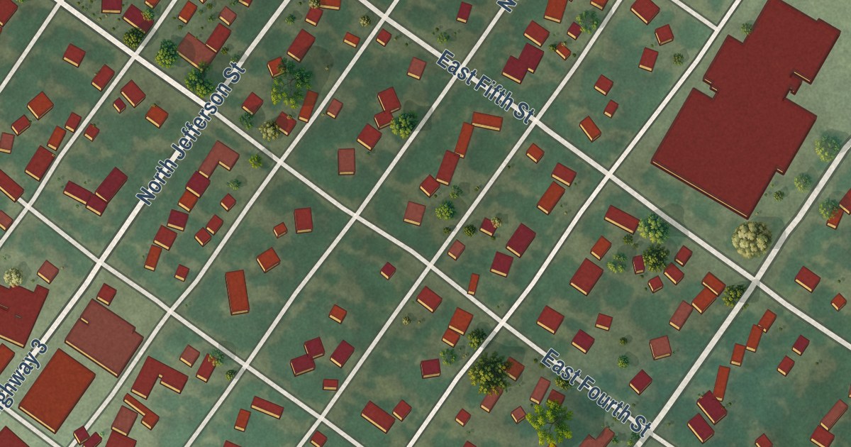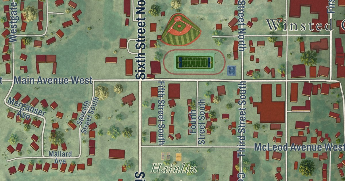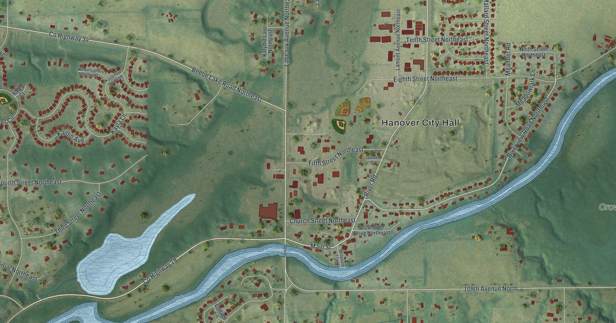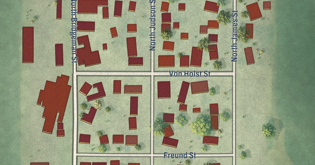
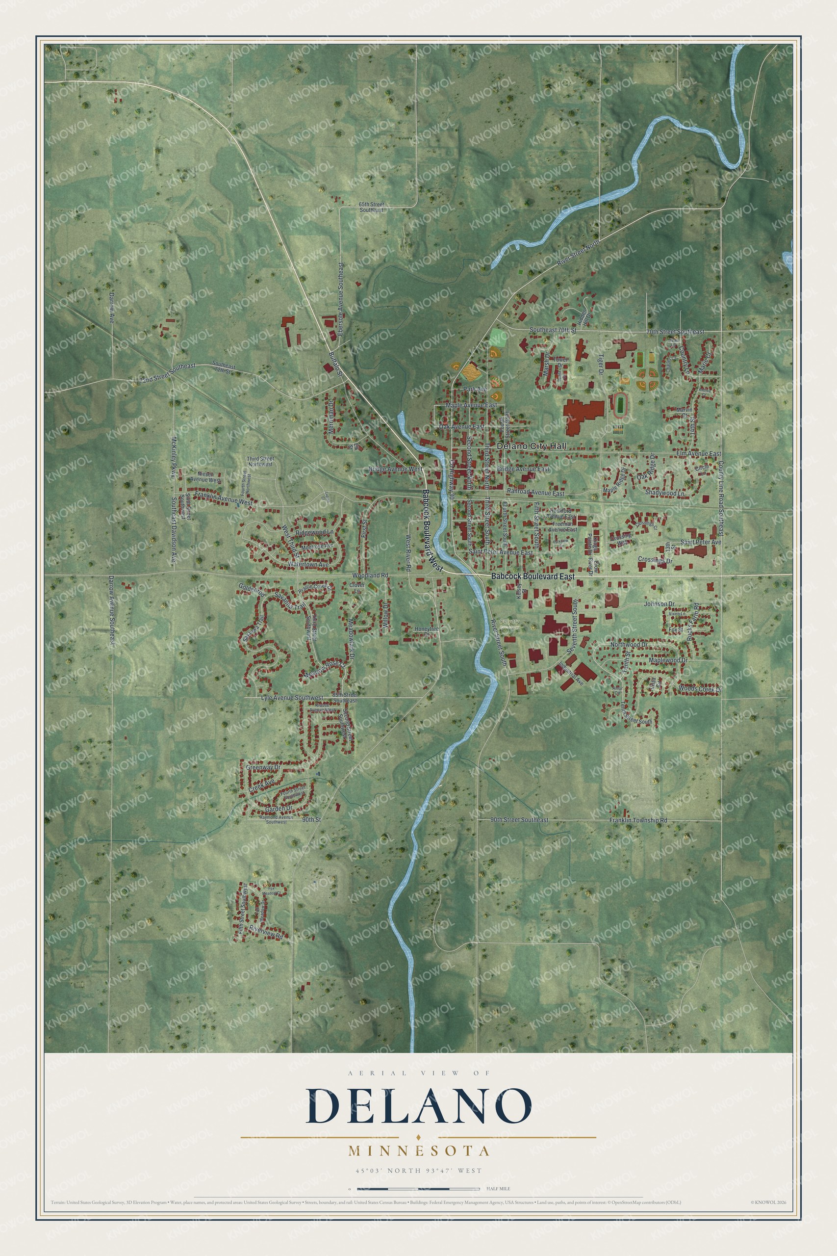
This beautifully detailed map of Delano, Minnesota was created in 2026 using aerial imagery combined with modern topographical, census, street and landmark data. It’s a one-of-a-kind view of Delano that combines accurate data with a vintage aesthetic. The map shows every building in its true location, many of the roads carry their names, and the shaded topographic relief shows the shape of the land.
Explore an aerial view of Delano, Minnesota
On the map you’ll find Delano City Hall and Calvary Cemetery, along with Babcock Boulevard East, Babcock Boulevard West, West River Road, Lyle Avenue Southwest, Meadow Rose Court, Maple Avenue East, Northwood Drive, Tenth Street, Ebersole Avenue Southeast, Watertown Avenue, and more. If you look closely you can even find your house accurately drawn in its correct location. Zoom in on the preview to look for yours.
Did you know this piece of Delano, Minnesota history?
From Warren Upham’s 1920 Minnesota Geographic Names: "Delano, a railway village in Franklin, platted in 1868 and incorporated February 11, 1876, was at first called Crow River, but was renamed in honor of Francis Roach Delano, who was born in New Braintree, Mass."
Take a closer look at the Delano map
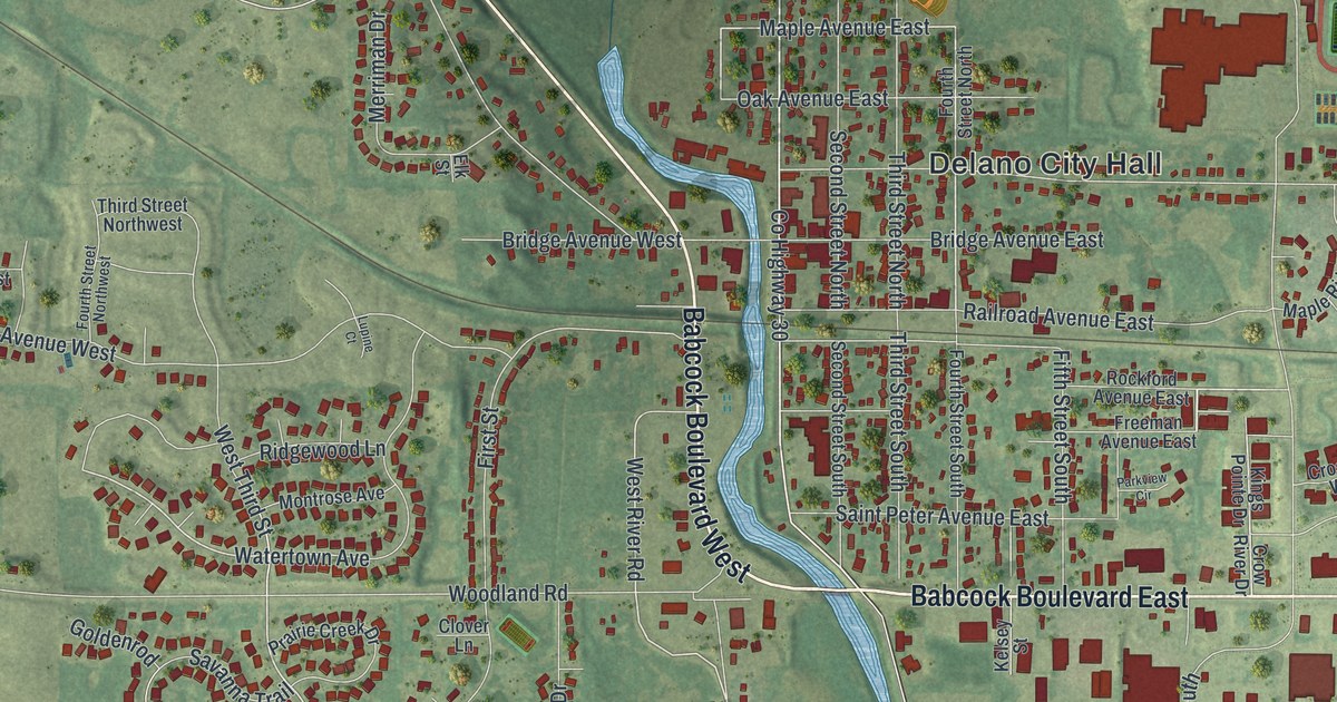
Street and place names on the Delano, Minnesota map
These names are printed on the map of Delano, Minnesota.
Places: Delano City Hall and Calvary Cemetery.
Streets and roads: Babcock Boulevard East, Babcock Boulevard West, West River Road, Lyle Avenue Southwest, Meadow Rose Court, Maple Avenue East, Northwood Drive, Tenth Street, Ebersole Avenue Southeast, Watertown Avenue, River Street North, 14th Street.
More street names, A to Z
13th Street, 65th Street Southeast, 70th Street Southeast, 72nd Street Southeast, 85th Street Southeast, 90th Street, 90th Street Southeast, Amur Circle, Andrea Court, Bonita Circle, Bridge Avenue East, Bridge Avenue West, Buffalo Street, Charles Court, Circle Lane, Clover Lane, Country Lane, County Highway 30, County Line Road Southeast, Creek Avenue, Crossings Court, Crossings Drive, Crossing Way, Crow River Drive, Darrow Avenue, Darrow Avenue Southeast, Elk Street, Elm Avenue East, Fifth Street South, Fifth Street Southwest, First Street, Fourth Street North, Fourth Street Northwest, Fourth Street South, Fourth Street Southwest, Fox Meadow Court, Fox Meadow Drive, Fox Street, Franklin Avenue West, Franklin Township Road, Freeman Avenue East, Garden Drive, Goldenrod, Greenway Drive, Hidden Hill Drive, Honeytree Drive, Industrial Avenue, Johnson Drive, Kelsey Street, Kings Pointe Drive, Krause Avenue West, Lupine Court, Maple Ridge Drive, Maplewood Drive, Marie Court, Marsh Drive, Marvin Court, McKinley Parkway, Meadowlark Drive, Merriman Drive, Montrose Avenue, Niesen Avenue West, Oak Avenue East, Oak Ridge Drive, Park Avenue, Parkview Circle, Prairie Creek Drive, Railroad Avenue East, Raymond Avenue Southwest, Ridgewood Lane, River Street South, Riverview Road, Rockford Avenue East, Rucks Farm Road, Saint Peter Avenue, Saint Peter Avenue East, Savanna Trail, Savanwa Trail, Second Street North, Second Street South, Second Street Southwest, Seventh Street South, Shadywood Lane, Sixth Street Southwest, Southeast 70th Street, Southeast 72th Street, Southeast Davidson Avenue, Tenth Street South, Third Street North, Third Street Northwest, Third Street South, Third Street Southwest, Tiger Drive, Tower Drive, Vieau Lane, Vista Circle, Vixen Lane, West Third Street, Willow Drive, Woodland Road, Woods Creek Drive.
See the Delano, Minnesota map on a wall
The Delano map as an 18 x 24 inch print in a black frame.

This beautifully detailed map of Delano makes an attractive addition to your office, library, or den, and it can even be used to teach children the geography and history of the area. It also makes a great gift for anyone who grew up in Delano or moved away. When you’re done exploring, click here to get your copy of the Delano map.