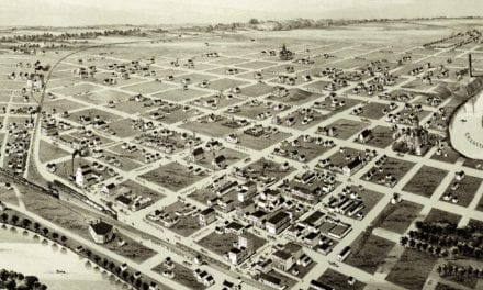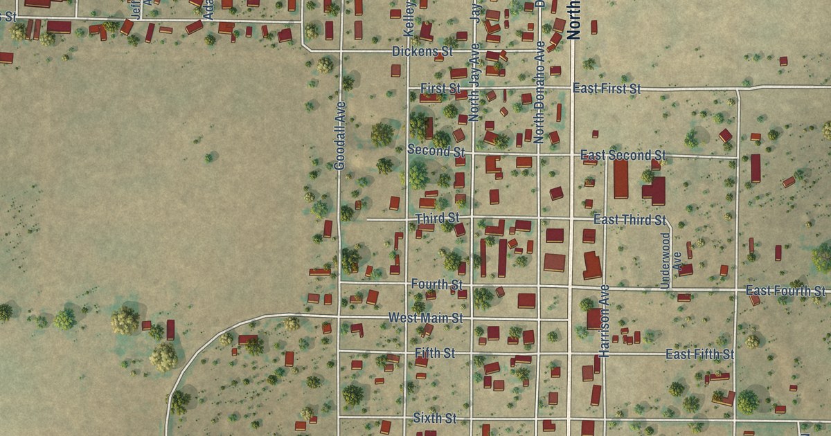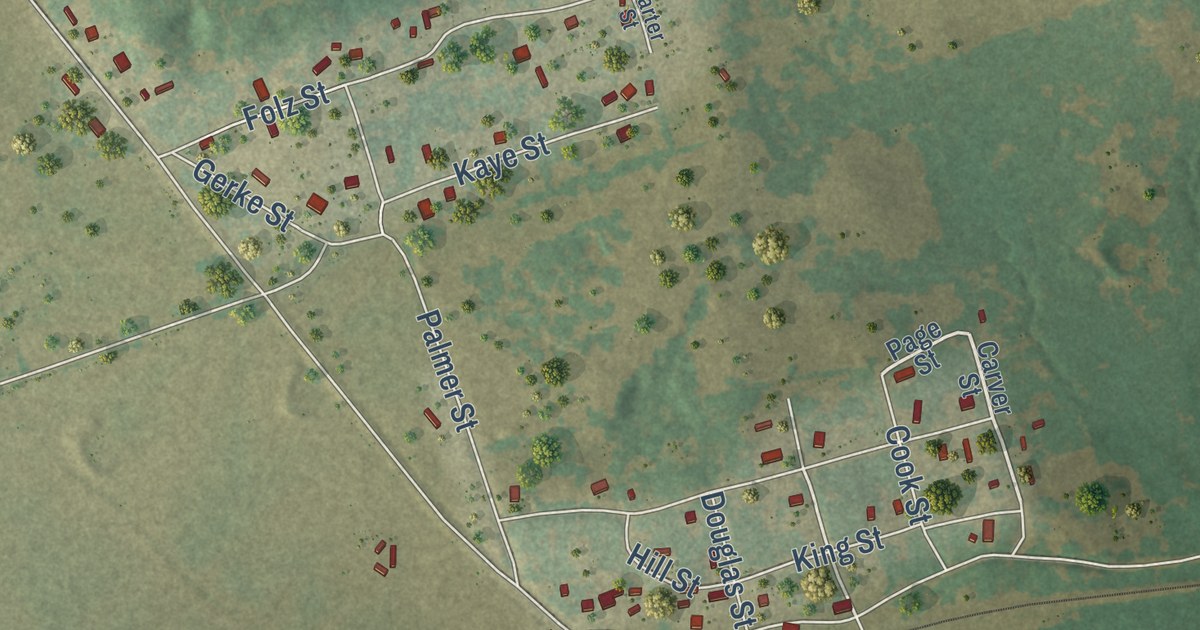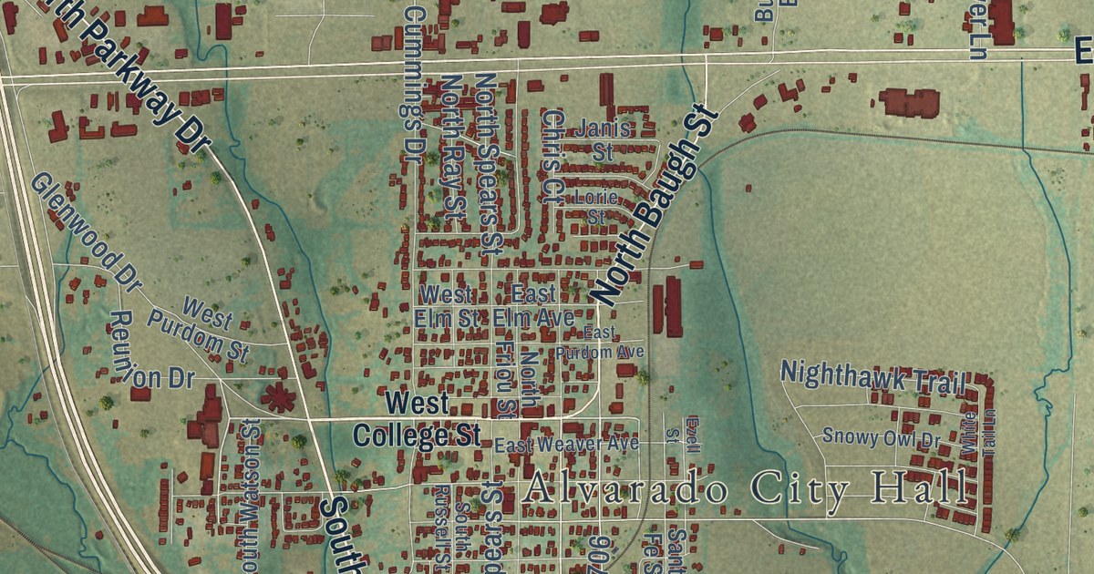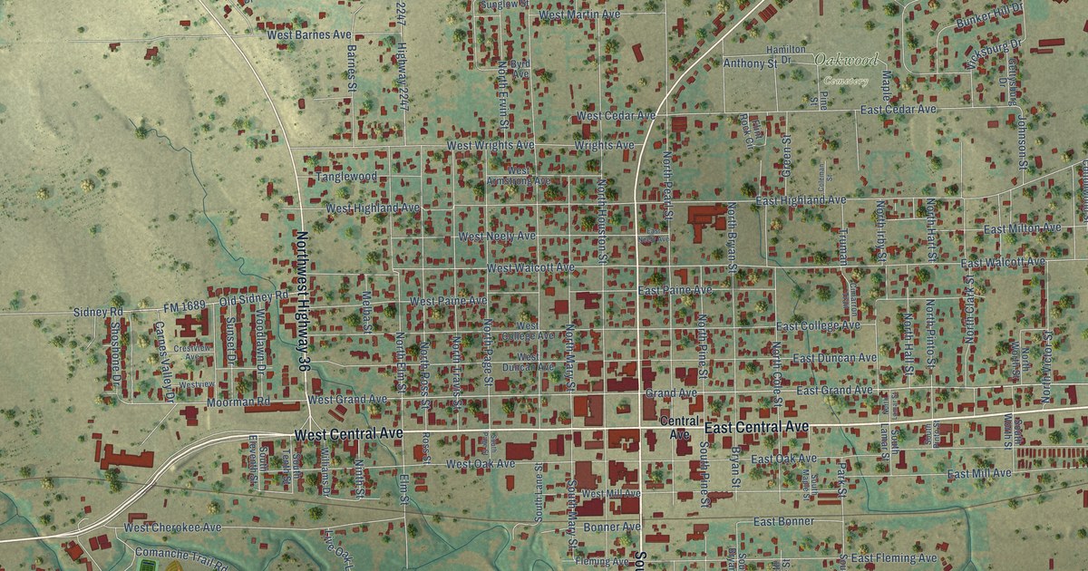
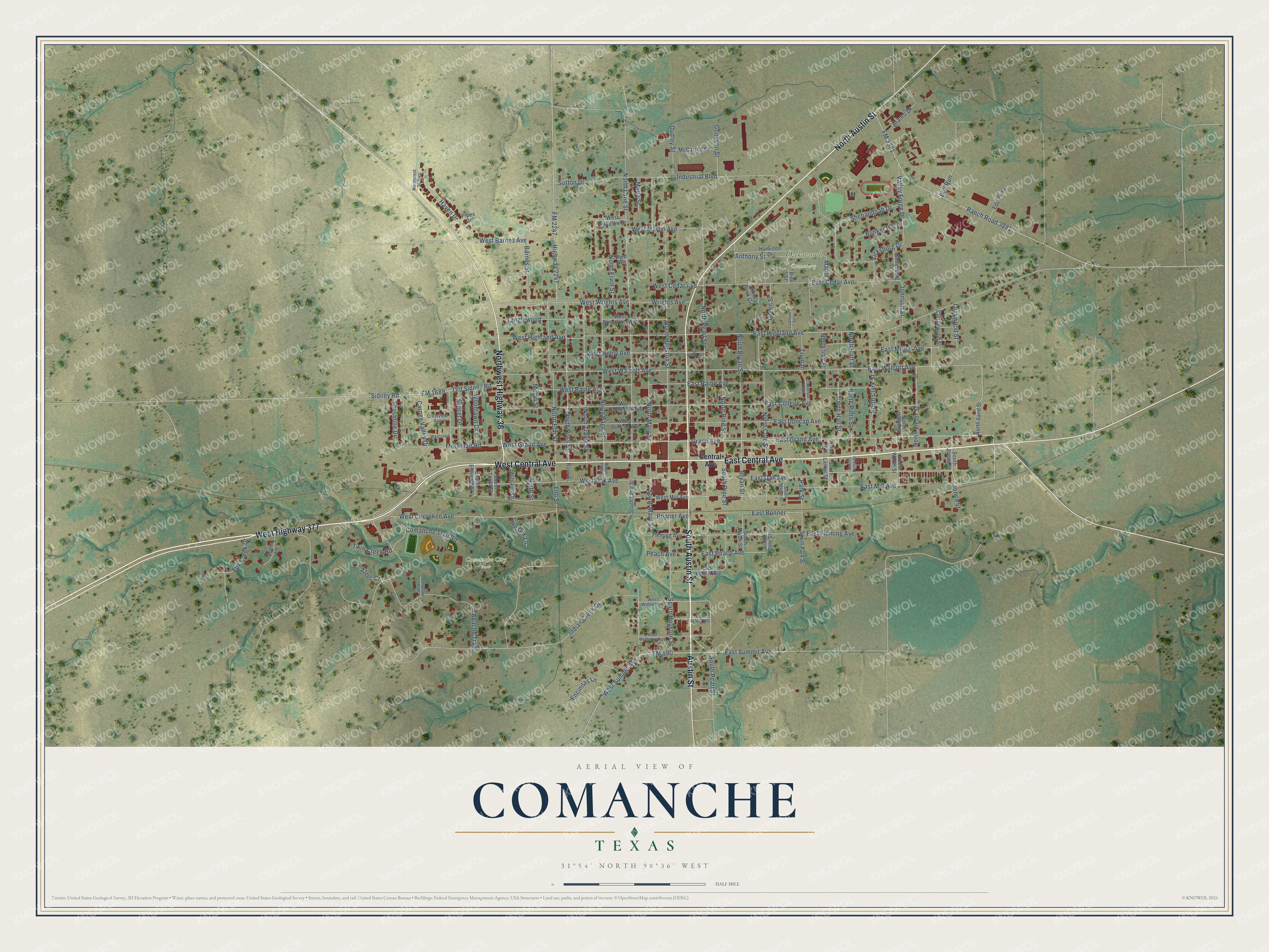
This beautifully detailed map of Comanche, Texas was created in 2026 using aerial imagery combined with modern topographical, census, street and landmark data. It’s a one-of-a-kind view of Comanche that combines accurate data with a vintage aesthetic. The map shows every building in its true location, many of the roads carry their names, and the shaded topographic relief shows the shape of the land.
Explore an aerial view of Comanche, Texas
On the map you’ll find Comanche City Park and Oakwood Cemetery, along with East Central Avenue, South Austin Street, West Central Avenue, North Austin Street, Northwest Highway 36, West Highway 377, Austin Street, East Grand Avenue, East Mill Avenue, Grand Avenue, and more. If you look closely you can even find your house accurately drawn in its correct location. Zoom in on the preview to look for yours.
Did you know this piece of Comanche, Texas history?
From the Handbook of Texas: "By 1892 Comanche had 2,500 residents, the Fort Worth and Rio Grande Railway, a daily stage, and numerous businesses."
Take a closer look at the Comanche map
Street and place names on the Comanche, Texas map
These names are printed on the map of Comanche, Texas.
Places: Comanche City Park and Oakwood Cemetery.
Streets and roads: East Central Avenue, South Austin Street, West Central Avenue, North Austin Street, Northwest Highway 36, West Highway 377, Austin Street, East Grand Avenue, East Mill Avenue, Grand Avenue, West Grand Avenue, South Pearl Street.
More street names, A to Z
Acorn Lane, Alamo Drive, Anthony Street, Apache Trail, Aztec Court, Barnes Street, Bonner Avenue, Bryan Street, Bull Run, Bunker Hill Drive, Byrd Avenue, Carnes Valley Drive, Central Avenue, Choctaw Trail, Cimarron Trail, Coleman Street, Comanche Trail Road, Cottonwood Street, Crestview Avenue, Dudley Street, East Bonner, East Cedar Avenue, East College Avenue, East Duncan Avenue, East Fleming Avenue, East Highland Avenue, East Louisa Avenue, East Milton Avenue, East Neely Avenue, East Oak Avenue, East Paine Avenue, East Peach Avenue, East Pecan Avenue, East Summit Avenue, East Walcott Avenue, Edc Parkway, Elm Street, Encinitas Lane, Fleming Avenue, Flint Rock Circle, FM 590, FM 1689, FM 2247, FM 3381, Fox Creek Drive, Gettysburg Drive, Goodson Street, Green Street, Hamilton Drive, Haven Drive, Highway 2247, Indian Creek Drive, Industrial Boulevard, Johnson Street, Jones Street, Live Oak Lane, Lockwood Street, Maple, Marie Street, McCarroll Street, Melba Street, Moorman Road, Ninth Street, North Bryan Street, North Clark Street, North Cole Street, North Elm Street, North Ervin Street, North Hall Street, North Hart Street, North Houston Street, North Irby Street, North Lamar Street, North Lane Street, North Mary Street, North Page Street, North Pearl Street, North Pine Street, North Pinto Street, North Ross Street, North Sand Street, North Travis Street, North Victor Street, Northwest 36 Highway, North Worth Street, Old Sidney Road, Park Street, Peach Avenue, Pine Street, Pipes Drive, Ranch Road 3381, Ross Street, Shenandoah Drive, Shoshone Drive, Sidney Road, South Bryan Street, South Cole Street, South Eleventh Street, South Houston Street, South Jones Street, South Lamar Street, South Lane Street, South Maple Street, South Mary Street, South Page Street, South Park Street, South Pine Street, South Pinto Street, South Tenth Street, South Worth Street, Sunset Drive, Sutton Drive, Tanglewood, Truman, Twin Creek Road, Valley Forge Drive, Vicksburg Drive, West Armstrong Avenue, West Barnes Avenue, West Cedar Avenue, West Cherokee Avenue, West College Avenue, West Duncan Avenue, West Highland Avenue, West Martin Avenue, West Mill Avenue, West Mulberry Avenue, West Neely Avenue, West Oak Avenue, West Paine Avenue, West Summit Avenue, West Sunglow Street, Westview, West Walcott Avenue, West Walnut Avenue, West Wrights Avenue, Williams Drive, Woodlawn Drive, Wrights Avenue.
See the Comanche, Texas map on a wall
The Comanche map as an 18 x 24 inch print in a black frame.

This beautifully detailed map of Comanche makes an attractive addition to your office, library, or den, and it can even be used to teach children the geography and history of the area. It also makes a great gift for anyone who grew up in Comanche or moved away. When you’re done exploring, click here to get your copy of the Comanche map.