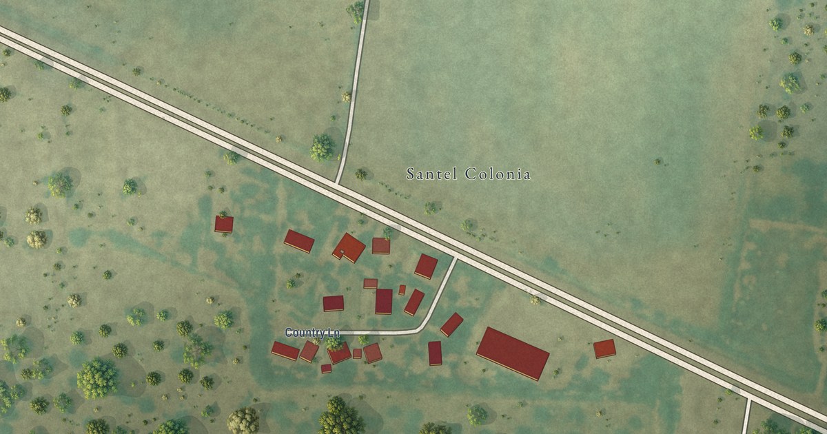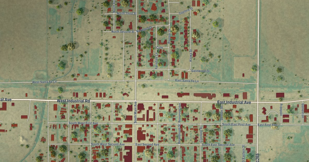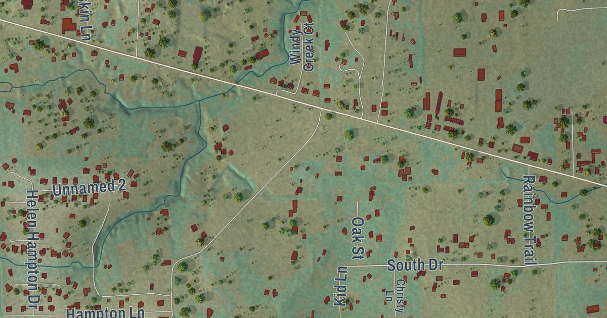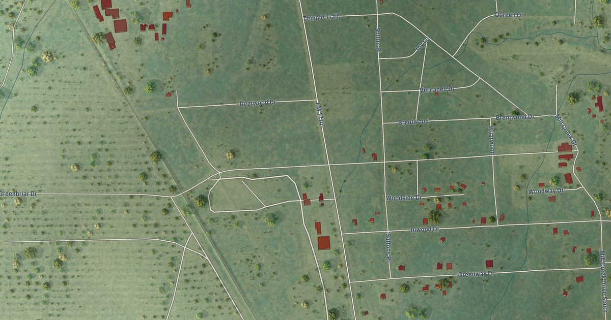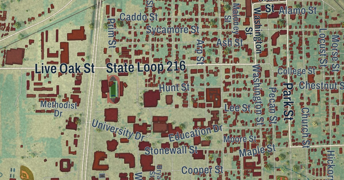
This beautifully detailed map of Commerce, Texas was created in 2026 using aerial imagery combined with modern topographical, census, street and landmark data. It’s a one-of-a-kind view of Commerce that combines accurate data with a vintage aesthetic. The map shows every building in its true location, many of the roads carry their names, and the shaded topographic relief shows the shape of the land.
Explore an aerial view of Commerce, Texas
On the map you’ll find Commerce City Hall, Rosemound Cemetery, and Beau Austin, along with Live Oak Street, Park Street, Maple Street, State Loop 216, State Loop 178, Culver Street, Washington Street, North Neal Street, FM Road 71, and more. If you look closely you can even find your house accurately drawn in its correct location. Zoom in on the preview to look for yours.
Did you know this piece of Commerce, Texas history?
From the Texas Historical Commission: "The first American Legion Post in Texas was established at Commerce in 1919, the same year the veterans organization was begun nationally."
Take a closer look at the Commerce map
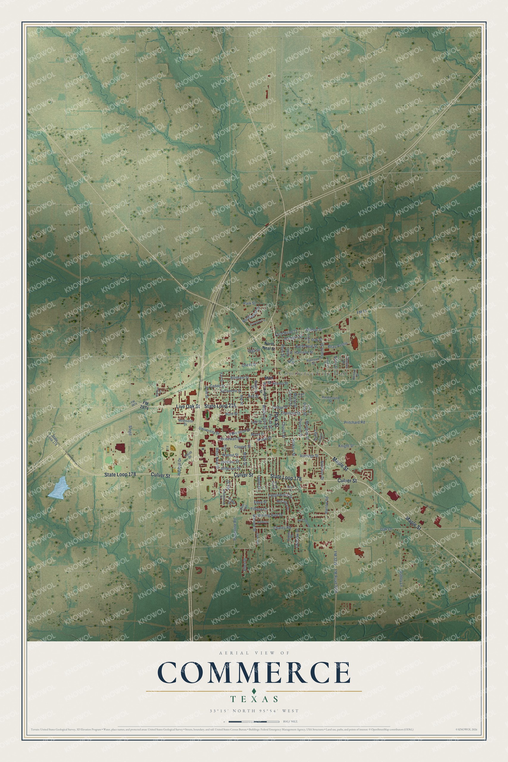
Street and place names on the Commerce, Texas map
These names are printed on the map of Commerce, Texas.
Places: Commerce City Hall.
Streets and roads: Live Oak Street, Park Street, Maple Street, State Loop 216, State Loop 178, Culver Street, Washington Street, North Neal Street, Beau Austin, FM 3218, Harlow Road, Charity Road.
More street names, A to Z
Alamo Street, Aldridge Street, Arapaho Road, Arp Street, Ashley Lane, Ash Street, Bishop Street, Bonham Street, Branding Iron, Brookhaven Terrace, Bryan Street, Caddo Street, Cedar Street, Champion Lane, Charlies Drive, Charlinda, Chestnut Street, Choctaw Drive, Church Street, Clark Street, College Street, Cooper Street, Deer Trail, Division Street, Dixie Street, Drake Drive, Earl Street, Edna Street, Education Drive, Ellen Drive, Farm Road 71, FM 71, FM 2874, FM Road 3218, Fourth Street, Harrison Street, Hickory Street, Hubbell Drive, Hunt Street, Jackson Street, Jefferson Street, Jernigan Street, Kennie Drive, Knight Street, Lee Street, Lilly Drive, Locust Street, Madeline, Main Street, Maloney Street, Mangum Street, Mayo Street, McCarley Drive, Meadowview Road, Methodist Drive, Mockingbird Lane, Monroe Street, Moore Street, Morse Street, Norris Street, Northwood Drive, Oak Lane, Oak Street, Olga Street, Oneal Street, Pecan Street, Pine Street, Plum Street, Powerline Road, Prim Street, Pritchard Road, Railroad Street, Rix Street, Rosemound Street, Royal Lane, Second Street, Smith Drive, Solomon Drive, South Park Street, Sregit, Sterling Hart Drive, Stonewall Street, Sycamore Street, Tanglewood Drive, Taylor Street, Tiffany Lane, University Drive, Walnut Street, Water Street, West Neal Street, Wheeler Drive.
See the Commerce, Texas map on a wall
The Commerce map as an 18 x 24 inch print in a black frame.

This beautifully detailed map of Commerce makes an attractive addition to your office, library, or den, and it can even be used to teach children the geography and history of the area. It also makes a great gift for someone who left Commerce and still calls it home. When you’re done exploring, click here to get your copy of the Commerce map.