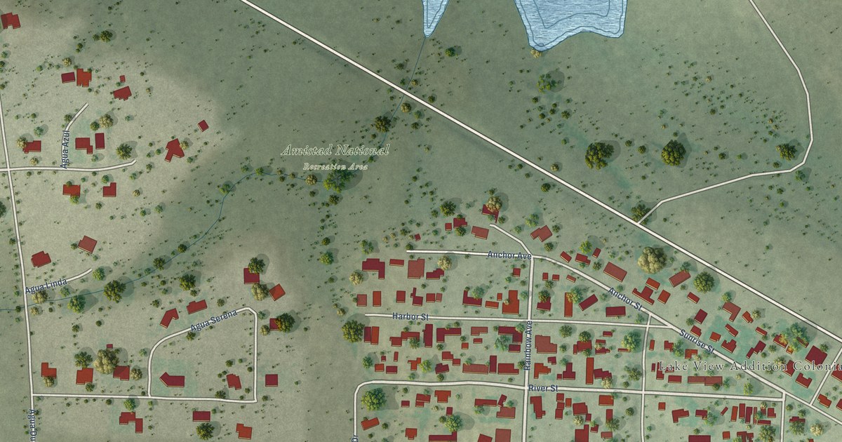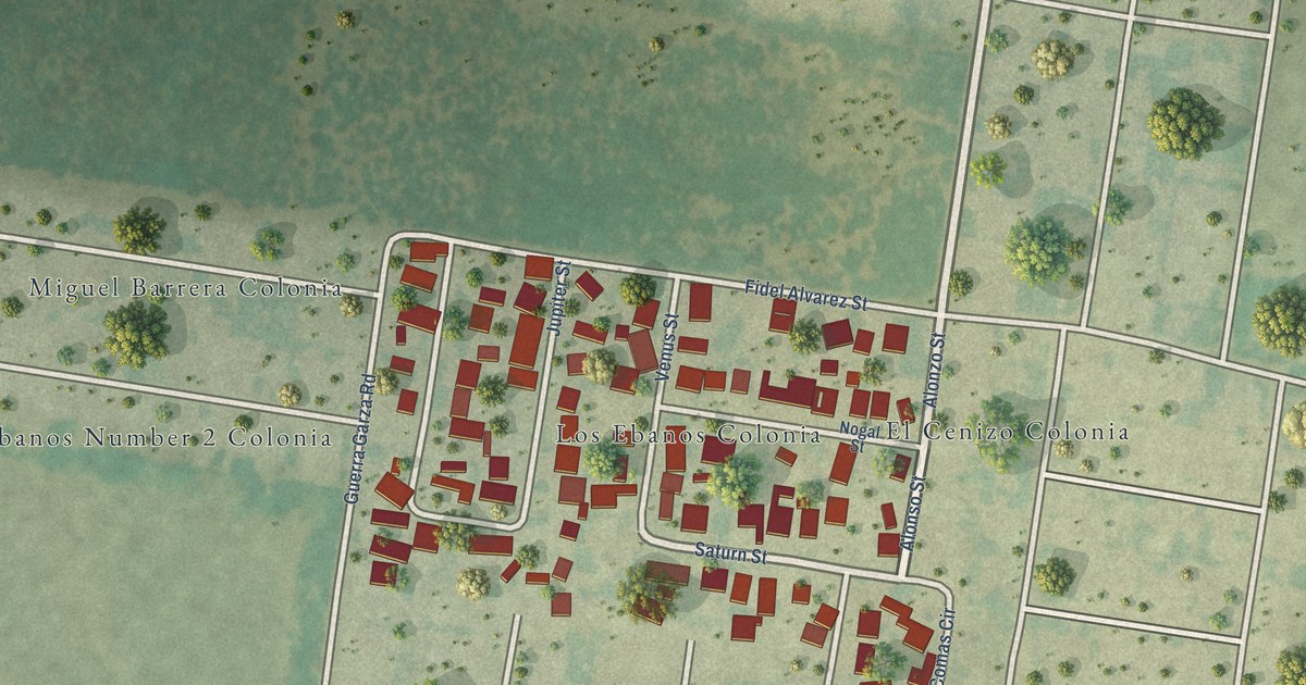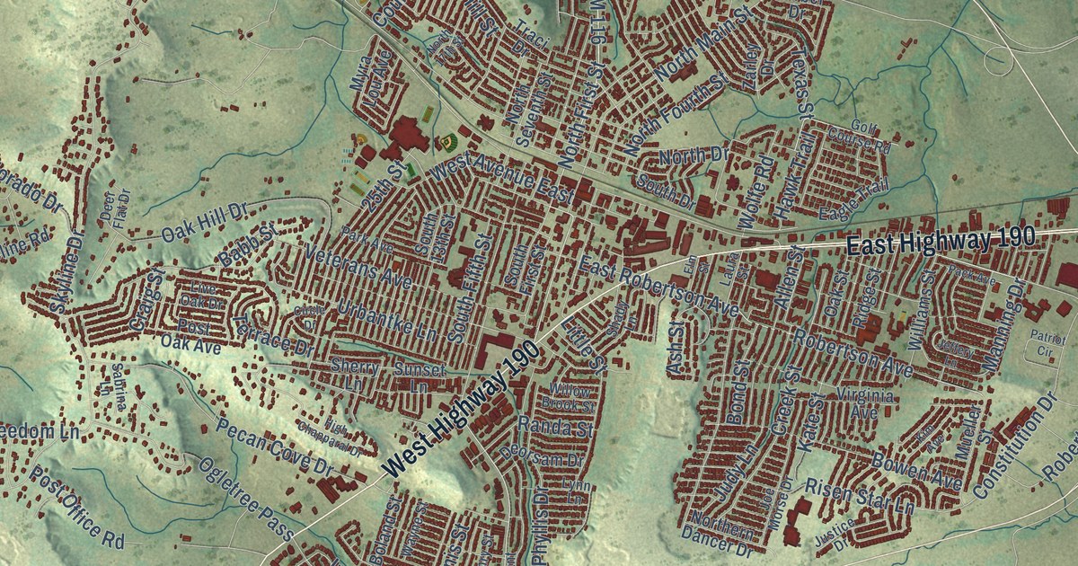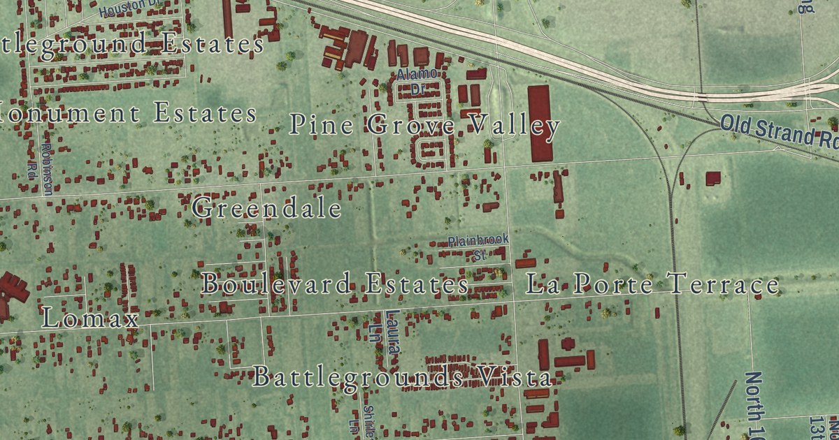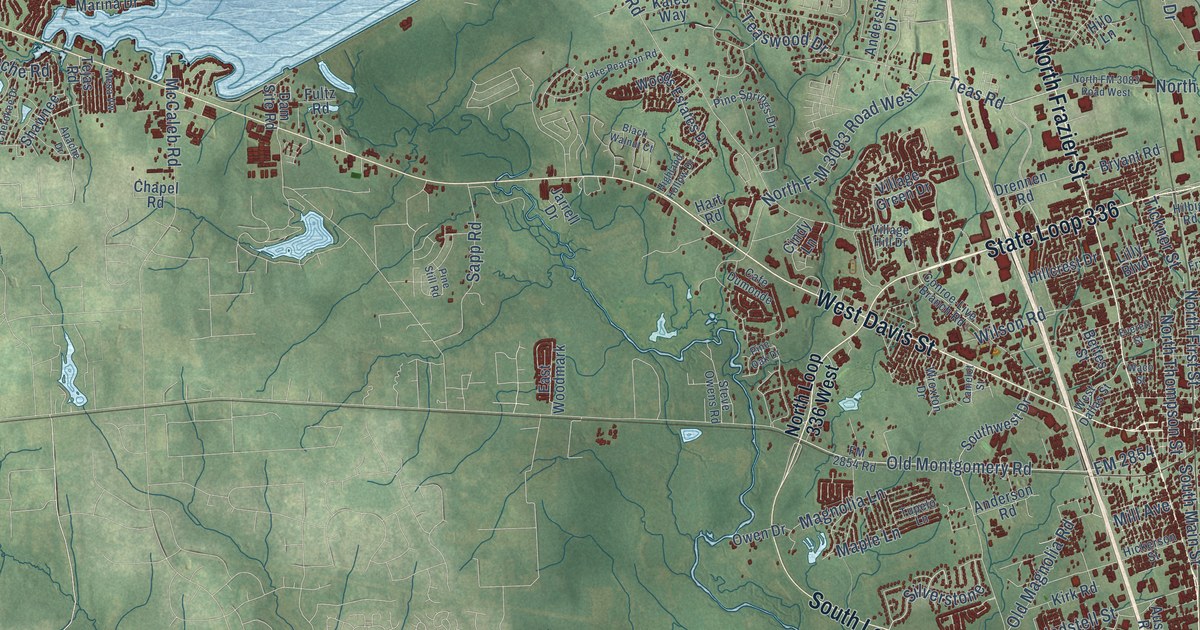
This beautifully detailed map of Conroe, Texas was created in 2026 using aerial imagery combined with modern topographical, census, street and landmark data. It’s a one-of-a-kind view of Conroe that combines accurate data with a vintage aesthetic. The map shows every building in its true location, many of the roads carry their names, and the shaded topographic relief shows the shape of the land.
Explore an aerial view of Conroe, Texas
On the map you’ll find Beach, South Loop 336 East, South Loop 336 West, and North Loop 336 East, along with State Loop 336, North Frazier Street, West Davis Street, Cartwright Road, East Davis Street, Longmire Road, FM 1484, Old Montgomery Road, and more. If you look closely you can even find your house accurately drawn in its correct location. Zoom in on the preview to look for yours.
Did you know this piece of Conroe, Texas history?
From the Handbook of Texas: "Conroe Mill School was established in 1886, and not long afterward the community's first Black school was founded at Madeley Quarters, south of town."
Take a closer look at the Conroe map
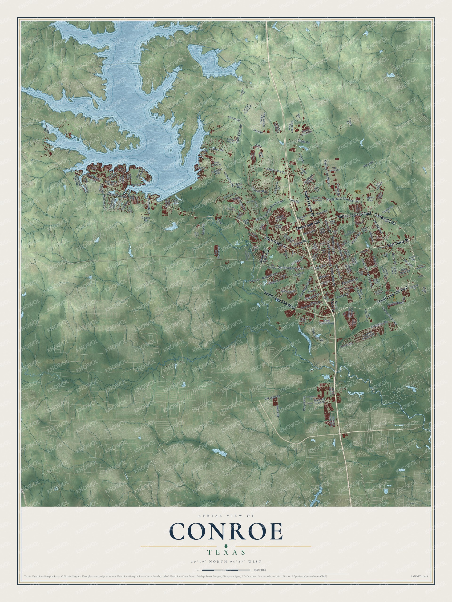
Street and place names on the Conroe, Texas map
These names are printed on the map of Conroe, Texas.
Places: Beach.
Streets and roads: State Loop 336, South Loop 336 East, North Frazier Street, South Loop 336 West, North Loop 336 East, West Davis Street, Cartwright Road, East Davis Street, Longmire Road, FM 1484, Old Montgomery Road, League Line Road.
More street names, A to Z
Airport Parkway, Airport Road, Alto Drive, Andershire Drive, Anderson Road, Apache Drive, April Cv, April Waters West, April Wind North Boulevard, April Wind South, Argo Road, Austin Road, Belvedere Drive, Bettes Street, Black Walnut Court, Board Crossing, Branham, Brass Nail Road, Briar Grove Drive, Briggs Drive, Broad Oaks, Bryant Road, Butler Road, Cafe Dumonde, Calfee Road, Camelot Street, Cannon Drive, Carriage Trail, Central Parkway, Chapel Road, Cherokee Drive, Cindy Lane, Colina Creek, Columbia River Road, Commanche Road, Conroe-Live Branch Road, Conroe Park West Drive, Conroe Porter Road, Creighton Road, Crighton Crossing Drive, Dam Site Road, Dawns Edge, Defor Road, Doolan Drive, Drennen Road, East Dallas Street, East Pine Lake Circle, East Semands Avenue, East Woodmark, Ed Kharbat Lane, Everett Street, Evergreen Pines, Farrell Road, Fettle Lane, Fife Drive, FM 830, FM 830 Road, FM 1314 Road, FM 1484 Road, FM 1488 Road, FM 2854, FM 2854 Road, FM 3083, FM 3083 Road, Forest Creek Drive, Forest Crest Parkway, Foster Drive, Fryer Street, Fultz Road, Gladstell Street, Grand Central Parkway, Hart Road, Hawthorne Drive, Hickerson Street, Highland Hollow Drive, Hilbig Road, Hillcrest Drive, Hilltop Drive, Hilo Lane, Industrial Lane, Jake Pearson Road, Jarrell Drive, Jones Road, Kaleo Way, Kirk Road, Koenig Lane, Ladera Creek Trce, Lady Lane, Lake View Circle, Lilly Boulevard, Little Egypt Road, Longmire Cv, Longmire Way, Mable Street, Magnolia Lane, Maple Lane, Marina Drive, McCaleb Road, Mesa Vw, Mill Avenue, Mohawk Drive, Nina Road, North F-M 3083 Road West, North First Street, North FM 3083 Road East, North FM 3083 Road West, North Loop 336 West, North Sixth Street, North Tenth Street, North Thompson Street, Oak Lane, Oaks on the Water, Old Magnolia Road, Owen Drive, Oxford Drive, Park Way, Peoples Road, Pine Oak Drive, Pine Springs Drive, Pine Still Road, Piney Meadow Drive, Piney Point Road, Pinto, Pollok Drive, Porter Road, Sapp Road, Schoettle Road, Seven Coves Road, Shadow View Drive, Shawnee, Silverdale Drive, Silverstone, Sora Drive, South 13th Street, Southern Oaks Drive, South First Street, South Frazier Street, South Main Street, South Pine Lake Road, South Rivershire Drive, South Seventh Street, South Sixth Street, Southwest Drive, Steitz Road, Steve Owens Road, Stewarts Forest Drive, Stillwater Creek Drive, Strong Horse Drive, Sunset Heights, Teas Road, Teaswood Drive, Tejas Road, Teralyn Forest Drive, Teralyn Woods Parkway, Thompson Road, Tickner Street, Toby Lane, Tom Stinson Drive, Town Park Drive, Treelake Drive, Tupelo Lane, Twilight Toast Drive, Village Green Drive, Village Hill Drive, Vine Road, Waco Street, Walden Road, West Dallas Street, Wilson Road, Windsor Lake Boulevard, Woodland Hills Drive, Woods Estates Drive, Wroxton Drive.
See the Conroe, Texas map on a wall
The Conroe map as an 18 x 24 inch print in a black frame.

This beautifully detailed map of Conroe makes an attractive addition to your office, library, or den, and it can even be used to teach children the geography and history of the area. It also makes a great gift for anyone who grew up in Conroe or moved away. When you’re done exploring, click here to get your copy of the Conroe map.