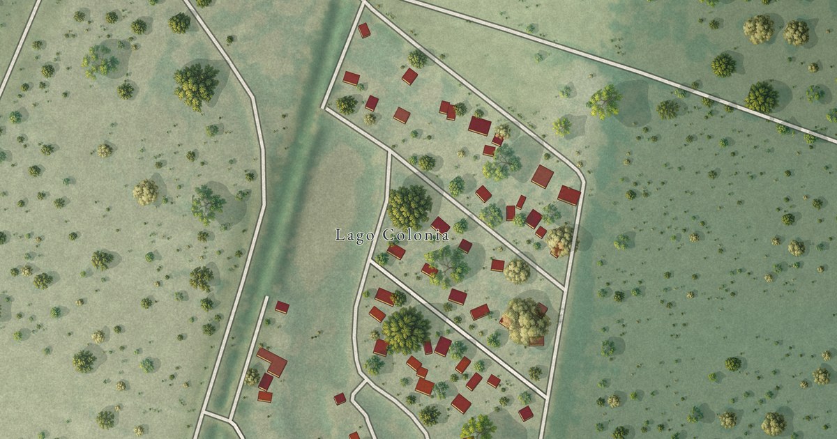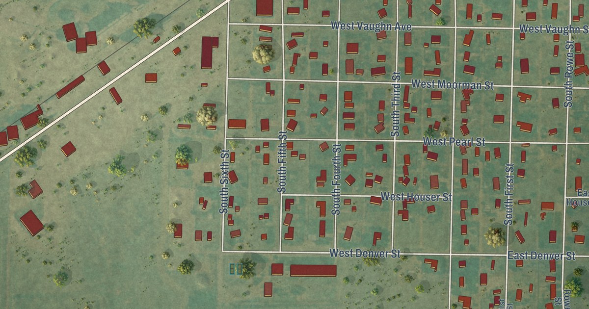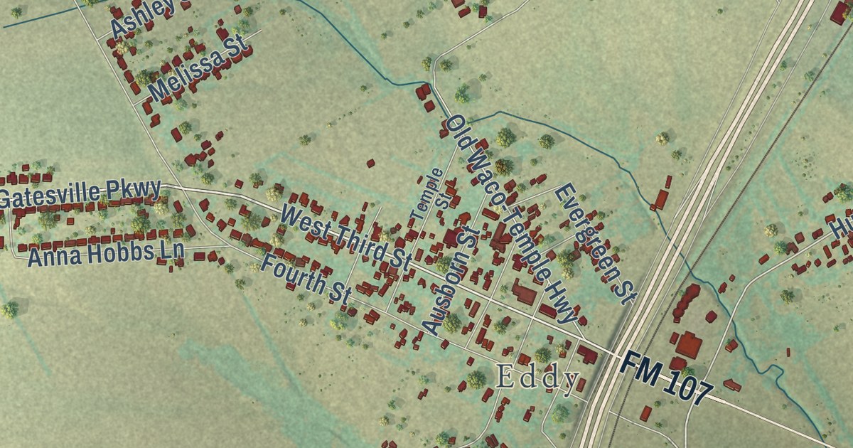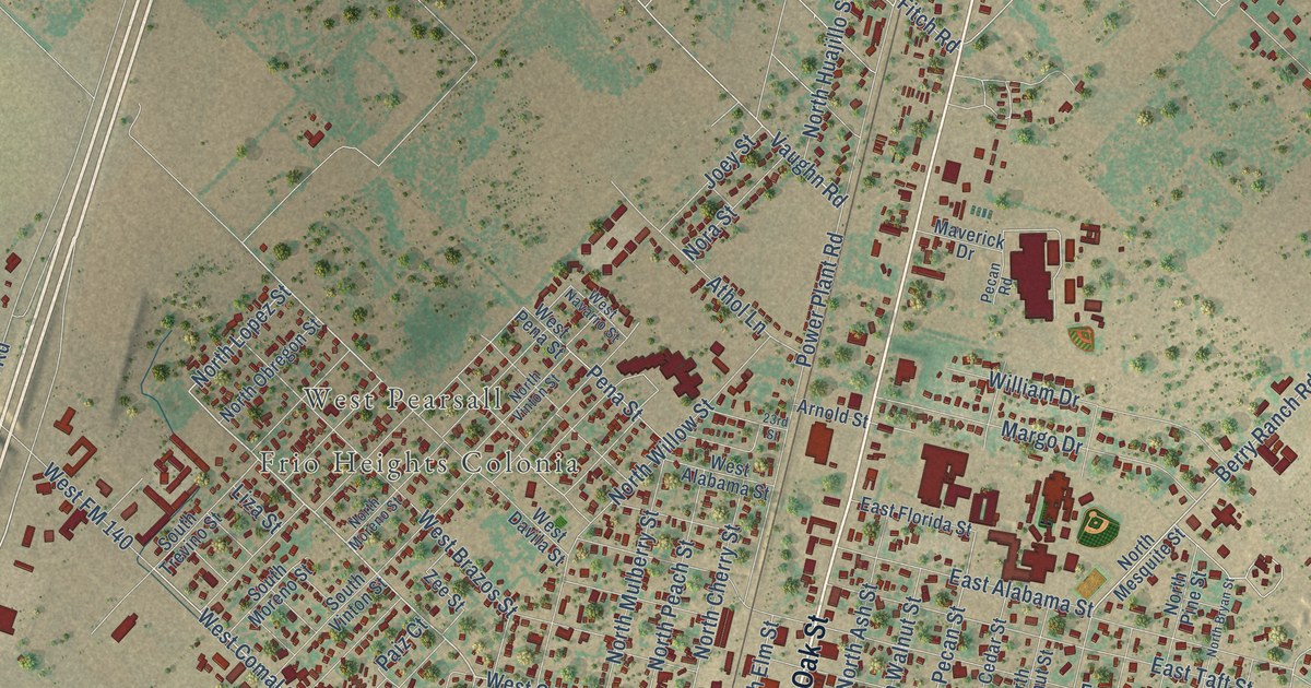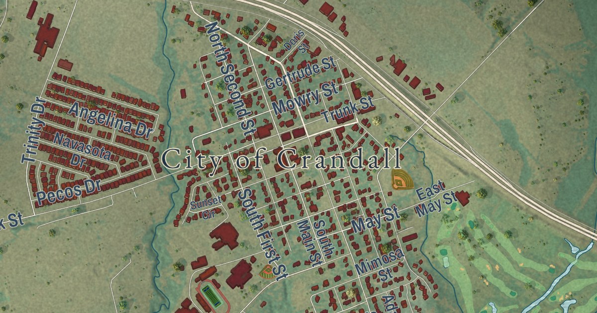
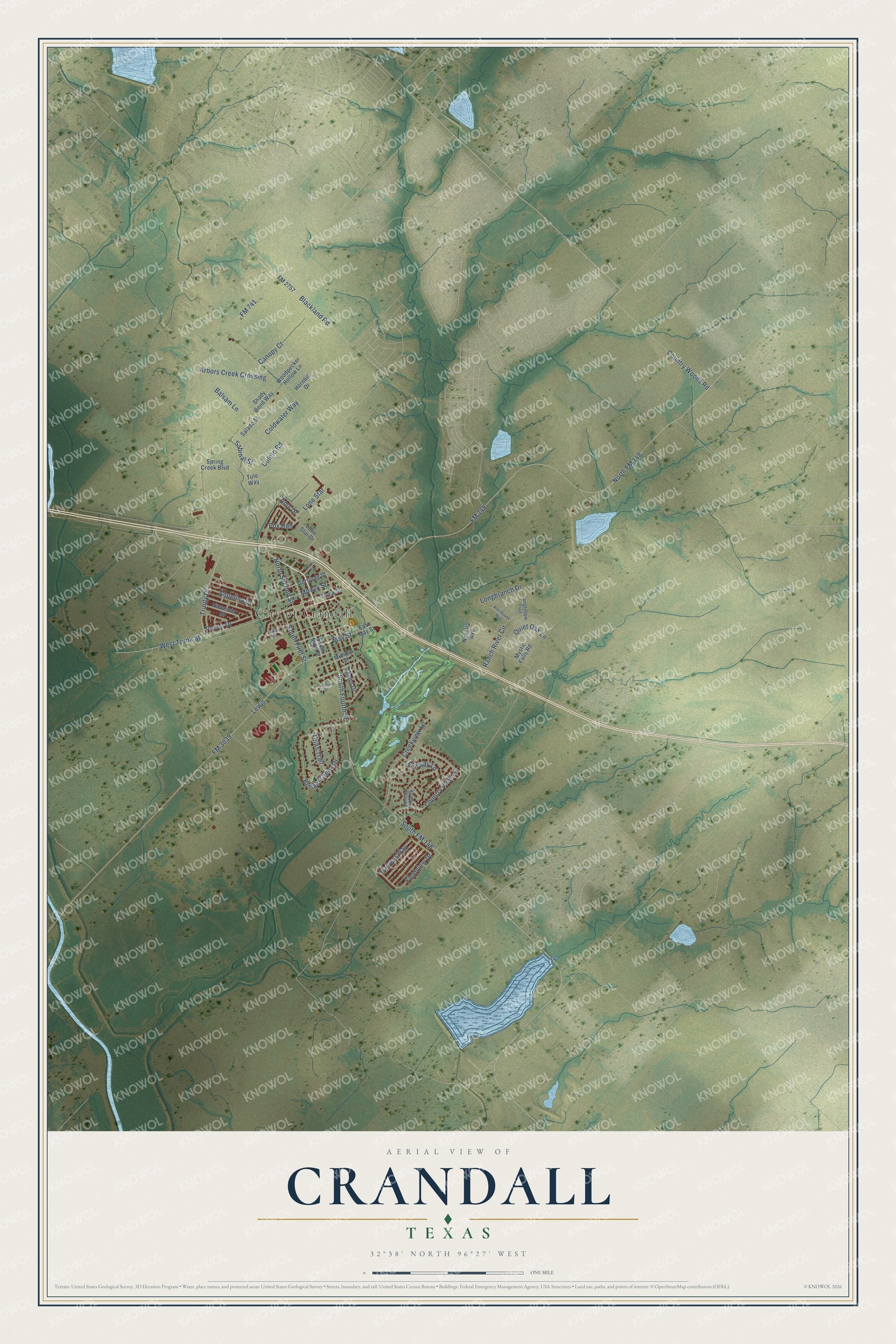
This beautifully detailed map of Crandall, Texas was created in 2026 using aerial imagery combined with modern topographical, census, street and landmark data. It’s a one-of-a-kind view of Crandall that combines accurate data with a vintage aesthetic. The map shows every building in its true location, many of the roads carry their names, and the shaded topographic relief shows the shape of the land.
Explore an aerial view of Crandall, Texas
On the map you’ll find City of Crandall, along with North Fourth Street, North Main Street, South Main Street, South First Street, North Second Street, Trinity Drive, Fieldview Drive, Harvest Way, Angelina Drive, May Street, Shady Bend Way, and more. If you look closely you can even find your house accurately drawn in its correct location. Zoom in on the preview to look for yours.
Did you know this piece of Crandall, Texas history?
From the Texas Historical Commission: "When Texas Trunk Line Railroad built east from Dallas in 1880, he gave bonus for rail service and was first postmaster when post office was created in 1881."
Take a closer look at the Crandall map
Street and place names on the Crandall, Texas map
These names are printed on the map of Crandall, Texas.
Places: City of Crandall.
Streets and roads: North Second Street, South First Street, Trinity Drive, Coleto Road, Sabinal Street, Angelina Drive, Harvest Way, May Street, Canopy Court, Fieldview Drive, Longbranch Drive, FM 148.
More street names, A to Z
Adams Drive, Amy Drive, Arbors Creek Crossing, Balsam Lane, Blackland Road, Buffalo Creek Drive, Coldwater Way, Country View Lane, Country Woods Road, Creekview Lane, Doris Street, East May Street, Fairway Lane, FM 741, FM 2757, FM 3039, Fox Run, Gertrude Street, Hornbill Drive, Kleinbrook Way, Lewis, Lone Star, Lone Star Drive, Longfellow Trail, Mimosa Street, Mowry Street, Mystic Falls Road, Navasota Drive, North FM 148, Novella Avenue, Palomino Street, Pecos Drive, Quiet Oak Lane, Ranch River Circle, Rolling Ridge Lane, Salado Street, Shady Bend Way, South FM 148, South Fourth Street, South Main Street, Spring Creek Boulevard, Sunset Circle, Tejas Trail, Trunk Street, Tule Way, West Trunk Street, Woodpecker Hollow Lane.
See the Crandall, Texas map on a wall
The Crandall map as an 18 x 24 inch print in a black frame.

This beautifully detailed map of Crandall makes an attractive addition to your office, library, or den, and it can even be used to teach children the geography and history of the area. It also makes a great gift for someone who left Crandall and still calls it home. When you’re done exploring, click here to get your copy of the Crandall map.