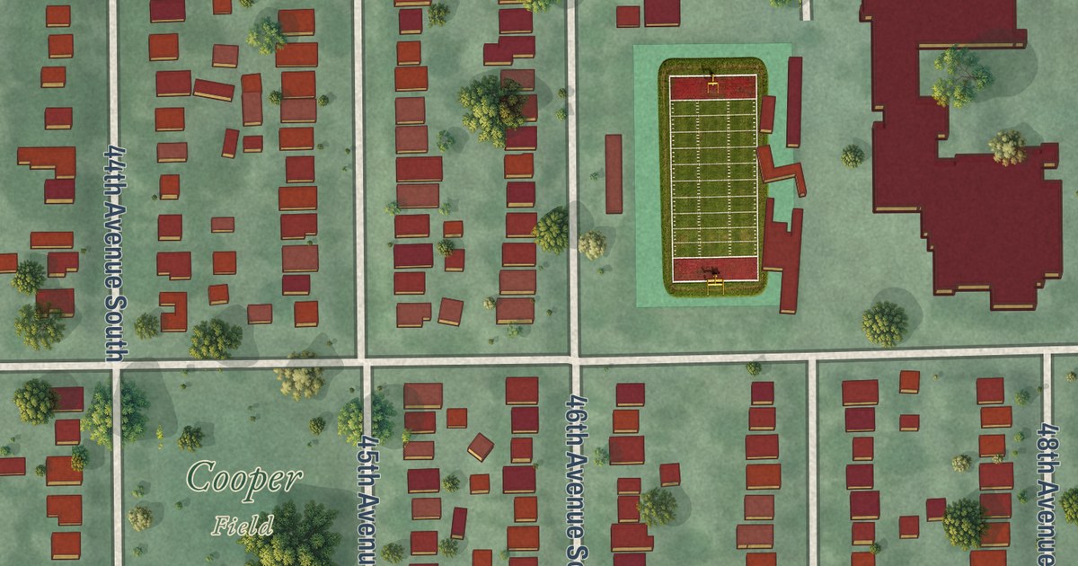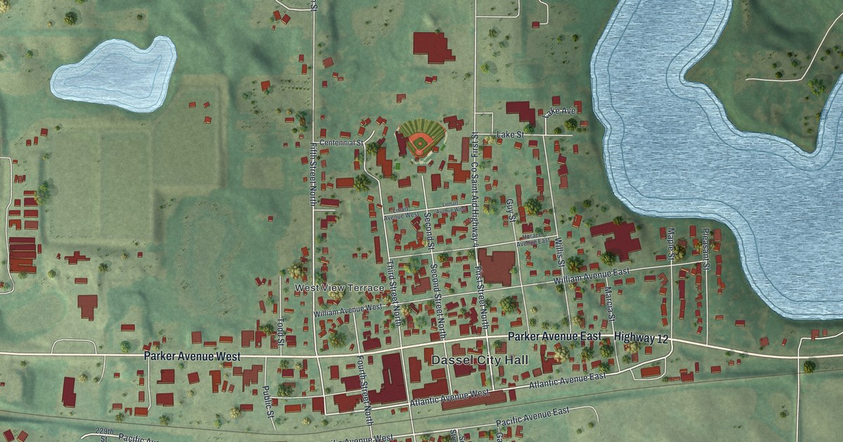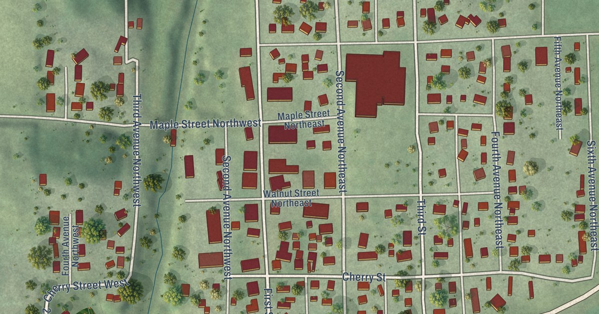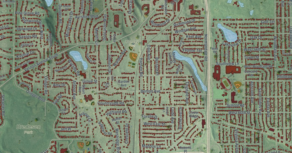
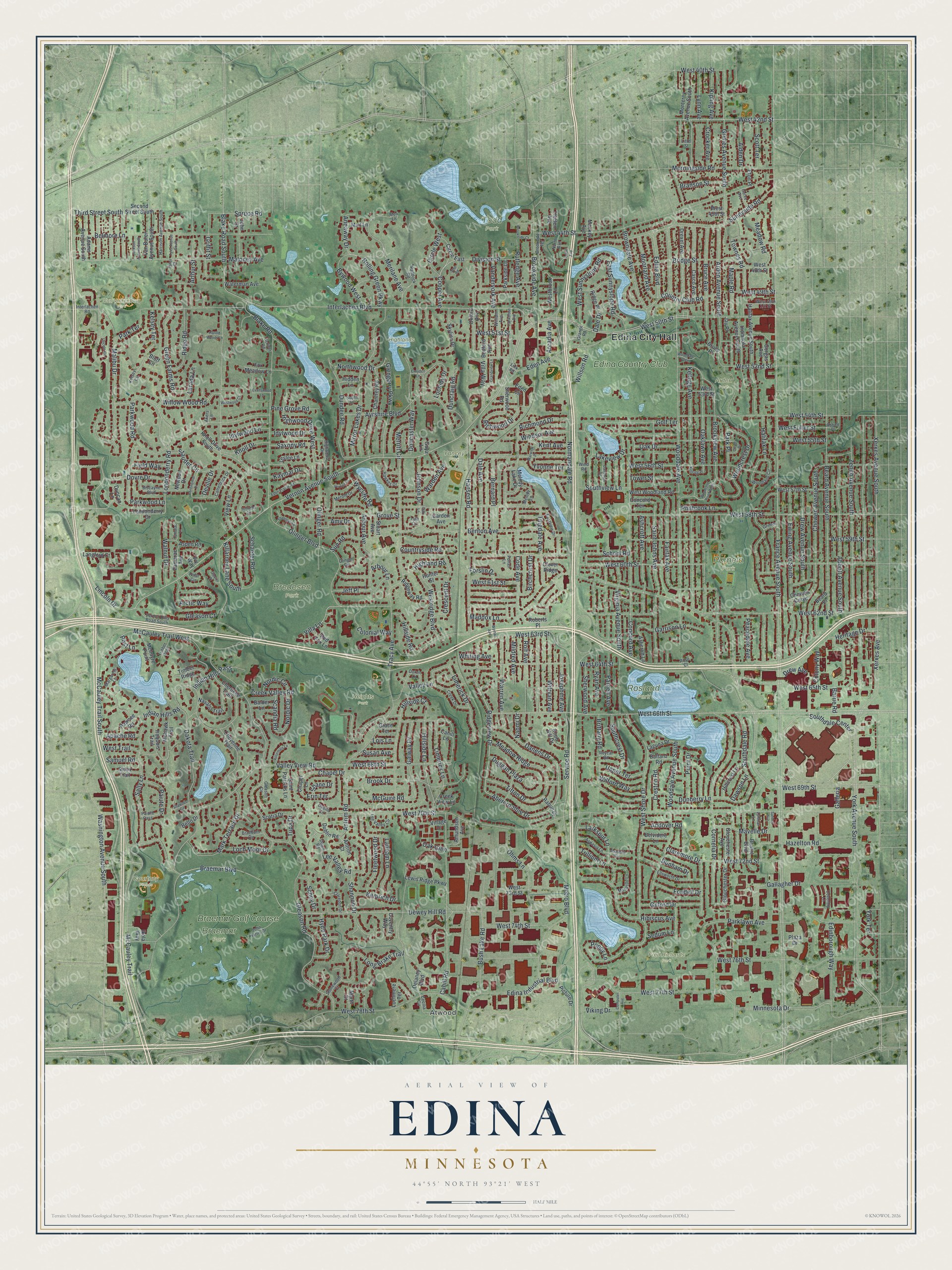
This beautifully detailed map of Edina, Minnesota was created in 2026 using aerial imagery combined with modern topographical, census, street and landmark data. It’s a one-of-a-kind view of Edina that combines accurate data with a vintage aesthetic. The map shows every building in its true location, many of the roads carry their names, and the shaded topographic relief shows the shape of the land.
Explore an aerial view of Edina, Minnesota
On the map you’ll find Edina City Hall, Atwood, Arden Park, Braemar Park, Bredesen Park, Courtney Fields, Fred Richards Park, Heights Park, Highlands Park, Pamela Park, Rosland Park, Todd Park, and more. If you look closely you can even find your house accurately drawn in its correct location. Zoom in on the preview to look for yours.
Did you know this piece of Edina, Minnesota history?
From the National Register of Historic Places: "The George W. Baird House is a fine example of a Queen Anne style residence and the only structure of its kind in Edina. Designed by the noted Minneapolis architect, Charles S. Sedgwick (1856-1922), the original plans for the house are in the possession of the present owner."
Take a closer look at the Edina map
Street and place names on the Edina, Minnesota map
These names are printed on the map of Edina, Minnesota.
Places: Edina City Hall, Atwood, Arden Park, Braemar Park, Bredesen Park, Courtney Fields, Fred Richards Park, Heights Park, Highlands Park, Pamela Park, Rosland Park, Todd Park, Van Valkenburg Park, Yancey Park, Braemar Golf Course and Edina Country Club.
Streets and roads: Southdale Center, Ridgeview Drive, Abercrombie Drive, West 42nd Street, Duggan Plaza, Blake Road South, Vernon Avenue South, West 50th Street, Braemar Boulevard, Villa Lane, Dewey Hill Road, Drew Avenue South.
More street names, A to Z
Abbott Avenue South, Abbott Place, Adams Avenue South, Akers Lane, Alden Drive, Amundson Avenue, Amy Drive, Andover Road, Annaway Drive, Antrim Court, Antrim Road, Apache Road, Arbour Avenue, Arbour Lane, Arcadia Avenue, Arctic Way, Arden Avenue South, Arthur Street, Ashcroft Avenue, Ashcroft Lane, Aspasia Circle, Aspasia Lane, Aspen Road, Ayrshire Boulevard, Balder Lane, Balfanz Road, Barrie Road, Beard Avenue South, Beard Place, Bedford Avenue, Bello Drive, Belmore Lane, Belvidere Lane, Benton Avenue, Bernard Place, Birchcrest Drive, Biscayne Boulevard, Blake Road, Bluff Circle, Braeburn Circle, Branson Street, Bridge Street, Bristol Boulevard, Brittany Road, Brook Drive, Brookside Avenue, Brookside Court, Brookside Terrace, Brookview Avenue, Browndale Avenue, Bruce Avenue, Bruce Place, Bush Lake Road, Bywood West, Cahill Lane, Cahill Road, Camelback Drive, Casco Avenue, Cecilia Circle, Chantrey Road, Chapel Drive, Chapel Lane, Cherokee Trail, Cheyenne Trail, Chowen Avenue South, Chowen Curve, Circle East, Circle West, Claredon Drive, Claremore Drive, Clover Ridge, Code Avenue, Colonial Way, Colony Way, Computer Avenue, Concord Avenue, Concord Terrace, Continental Drive, Cooper Avenue, Cornelia Drive, Country Club Road, Countryside Road, Coventry Lane, Coventry Way, Creek Drive, Creek Valley Road, Creek View Lane, Crescent Drive, Creston Road, Crocker Avenue, Croyden Lane, Curve Avenue, Dakota Trail, Dale Avenue, Dale Drive, Dalrymple Road, Danens Drive, Dawson Lane, Delaney Boulevard, Dever Drive, Deville Drive, Division Street, Doncaster Way, Doron Lane, Dovre Drive, Down Road, Drew Avenue, Drexel Avenue, Dublin Circle, Dublin Road, Dunberry Lane, Duncan Lane, Duncraig Road, Dundee Road, Dunham Drive, East Sunnyslope Road, Eastview Drive, Eden Avenue, Eden Circle, Eden Prairie Road, Edina Boulevard, Edina Industrial Boulevard, Edinborough Way, Ellsworth Drive, Erin Terrace, Eton Place, Evanswood Lane, Ewing Avenue South, Fairfax Avenue, Field Way, Fleetwood Drive, Fondell Drive, Forslin Drive, Fox Meadow Lane, France Avenue South, Gallagher Drive, Galleria, Galway Drive, Garden Avenue, Garrison Lane, Gilford Drive, Glacier Place, Gleason Circle, Gleason Court, Gleason Road, Glengarry Parkway, Glouchester Avenue, Glouchester Drive, Golf Terrace, Gorgas Avenue, Goya Lane, Grace Terrace, Grandview Lane, Grange Road, Green Farms Road, Griffit Street, Grimes Avenue South, Grimes Lane, Grove Street, Halifax Avenue South, Halifax Lane, Hankerson Avenue, Hansen Road, Harold Woods Lane, Harrison Avenue South, Hawkes Drive, Hazelton Road, Heritage Drive, Hibiscus Avenue, Hidden Lane, Highland Road, Highwood Drive, Highwood Drive West, Hillcrest Lane, Hillside Court, Hillside Lane, Hillside Road, Hunter Street, Hyde Park Drive, Idylwood Drive, Idylwood Lane, Ikola Way, Indian Hills Pass, Indian Hills Road, Indianola Avenue South, Interlachen Boulevard, Interlachen Road, Iroquois Trail, Ivy Way, Jackson Avenue South, Jay Place, Jeff Place, John Harris Drive, Johnson Drive, John Street, Josephine Avenue, Kaymar Drive, Kellogg Avenue, Kellogg Place, Kelsey Circle, Kelsey Terrace, Kemrich Drive, Kent Avenue, Killarney Lane South, Kipling Avenue, Knob Hill Drive, Knoll Drive, Knoll Drive South, Laguna Drive, Lakeview Drive, Langford Court, Lanham Lane, Larada Lane, Larkspur Lane, Laura Avenue, Lee Valley Circle, Lee Valley Road, Leslee Lane, Lewis Ridge Parkway, Limerick Drive, Limerick Lane, Lincoln Circle, Lincoln Drive, Link Road, Littel Street, Lochloy Drive, Lochmere Terrace, Loch Moor Drive, Lois Lane, Londonderry Drive, Londonderry Road, Long Brake Trail, Lyle Circle, Lynmar Lane, Lynn Avenue, Mackey Avenue, Maddox Lane, Mait Lane, Malibu Drive, Maloney Avenue, Maple Road, Margarets Lane, Mark Terrace Drive, Marth Court, Mavelle Drive, McCauley Trail, McCauley Trail South, McCauley Trail West, McGuire Road, McIntyre Point, Meadow Ridge, Meadow Road, Melody Lake Drive, Melody Lane, Meri Lane, Merilane Avenue, Merold Drive, Merritt Circle, Metro Boulevard, Mildred Avenue, Minnesota Drive, Mirror Lakes Drive, Mohawk Trail, Monardo Lane, Monterey Avenue South, Moorland Avenue, Morningside Road, Naomi Drive, Navaho Trail, Newport Drive, Nordic Circle, Nordic Drive, Normandale Road, North Avenue, Northwood Drive, Oak Drive, Oak Glen, Oak Lane, Oaklawn Avenue, Ohms Lane, Olinger Boulevard, Olinger Circle, Olinger Road, Oxford Avenue, Paddock Road, Paiute Drive, Paiute Pass, Parklawn Avenue, Park Place, Parkside Lane, Park Terrace, Parkwood Lane, Parkwood Road, Parnell Avenue, Pawnee Road, Peacedale Avenue, Philbrook Lane, Picture Drive, Pine Grove Road, Plaza Drive, Point Drive, Polar Circle, Poppy Lane, Porter Lane, Post Lane, Rabun Drive, Red Fox Lane, Richmond Drive, Richwood Drive, Ridge Place, Ridge Road, Ridgeway Road, Roberts Place, Rolf Avenue, Rolling Green Parkway, Rose Court, Rosemary Lane, Roycar Road, Rutledge Avenue, Ryan Avenue, Saint Johns Avenue, Saint Patricks Lane, Sally Lane, Samuel Road, Sandell Avenue, Saxony Road, Scandia Road, Schaefer Circle, Schaefer Road, Schey Drive, School Road, Scotia Drive, Scott Terrace, Scriver Road, Second Street South, Sedum Lane, Service Road, Shane Drive, Shannon Drive, Shawnee Circle, Sherman Circle, Sherwood Avenue, Sherwood Road, Sioux Trail, Skyline Drive, Southcrest Drive, Southdale Road, South Drive, Southview Lane, Spruce Road, Spur Road, Stauder Circle, Stonewood Court, Stuart Avenue, Sunnyside Road, Sun Road, Susan Avenue, Tamarac Avenue, Tamarac Lane, Thielen Avenue, Third Street South, Tifton Drive, Timber Ridge, Timber Trail, Tingdale Avenue, Tower Street, Townes Road, Tracy Avenue, Trillium Lane, Tupa Drive, Tyler Avenue South, Tyler Court, Upper Terrace, Valley Lane, Valley View Road, Van Buren Avenue South, Vandervork Avenue, Vernon Hills Road South, Vernon Lane, View Lane, Viking Drive, Village Drive, Villa Way, Virginia Avenue South, Walnut Drive, Warden Avenue, Warren Avenue, Warwick Place, Washington Avenue South, Waterman Avenue, West 40th Street, West 44th Street, West 45th Street, West 48th Street, West 49th Street, West 51st Street, West 52nd Street, West 53rd Street, West 54th Street, West 55th Street, West 56th Street, West 57th Street, West 58th Street, West 59th Street, West 60th Street, West 61st Street, West 62nd Street, West 63rd Street, West 64th Street, West 65th Street, West 66th Street, West 68th Street, West 69th Street, West 70th Street, West 72nd Street, West 73rd Street, West 74th Street, West 76th Street, West 77th Street, West 78th Street, Westbrook Lane, West Fuller Street, Westridge Boulevard, West Shore Drive, West Sunnyslope Road, West Trail, Westwood Court, West Woodland Road, Whiting Avenue, Wilford Way, William Avenue, Willow Wood Road, Willson Road, Wilryan Avenue, Wind Road, Windsor Avenue, Woodcrest Drive, Wooddale Avenue, Wooddale Avenue South, Wooddale Glen, Woodland Circle, Woodland Road West, Wycliffe Road, Wyman Avenue, Xerxes Avenue, Xerxes Avenue South, York Avenue South, York Terrace, Yvonne Terrace, Zenith Avenue South.
See the Edina, Minnesota map on a wall
The Edina map as an 18 x 24 inch print in a black frame.

This beautifully detailed map of Edina makes an attractive addition to your office, library, or den, and it can even be used to teach children the geography and history of the area. It also makes a great gift for anyone with Edina roots. When you’re done exploring, click here to get your copy of the Edina map.