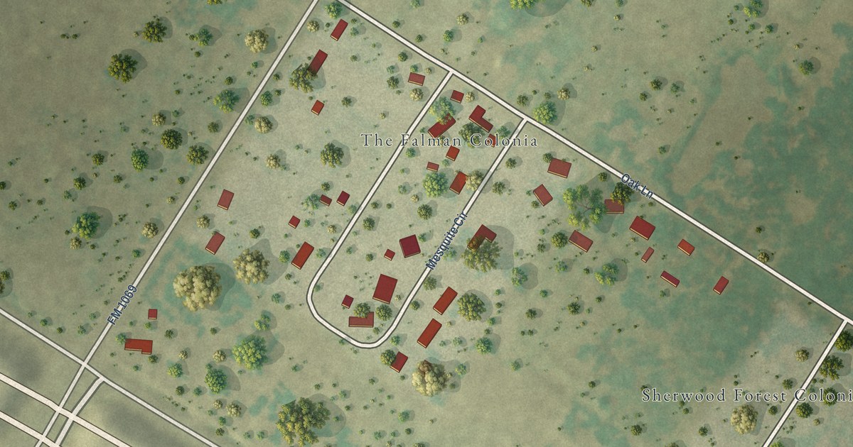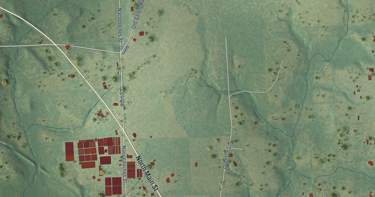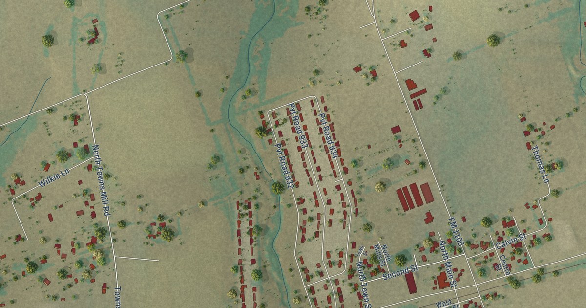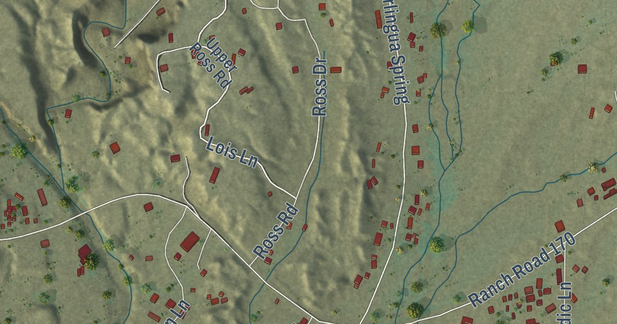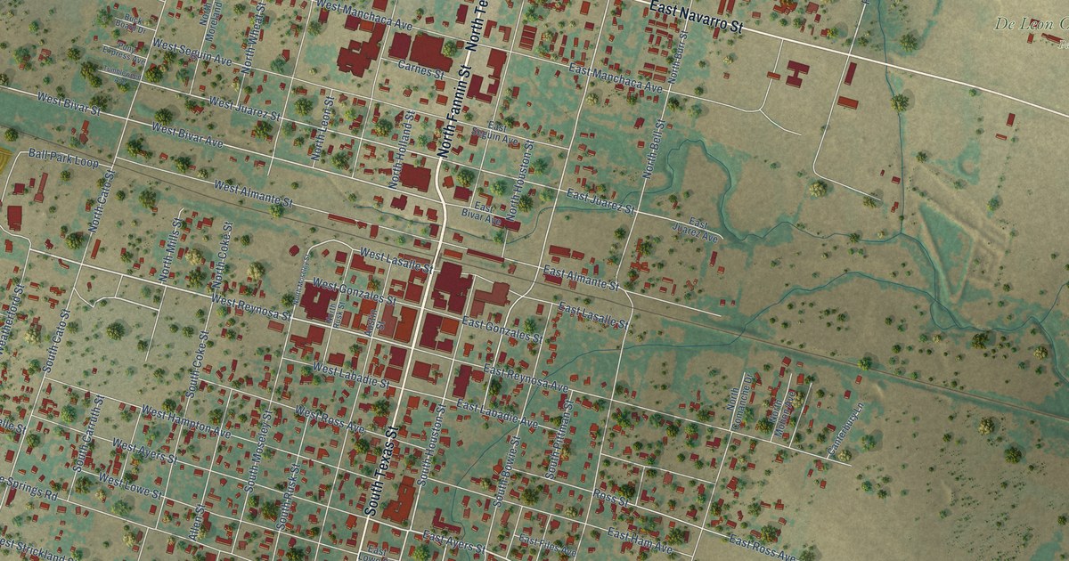
This beautifully detailed map of De Leon, Texas was created in 2026 using aerial imagery combined with modern topographical, census, street and landmark data. It’s a one-of-a-kind view of De Leon that combines accurate data with a vintage aesthetic. The map shows every building in its true location, many of the roads carry their names, and the shaded topographic relief shows the shape of the land.
Explore an aerial view of De Leon, Texas
On the map you’ll find De Leon Community Park, along with North Texas Street, East Navarro Street, South Texas Street, West Navarro Street, North Fannin Street, East Ayers Street, West Reynosa Street, South Houston Street, West Bivar Street, West Bivar Avenue, Festival Lane, and more. If you look closely you can even find your house accurately drawn in its correct location. Zoom in on the preview to look for yours.
Did you know this piece of De Leon, Texas history?
From the Handbook of Texas: "The first physician came in 1882, and the first newspaper, the De Leon Messenger, was published in 1882."
Take a closer look at the De Leon map
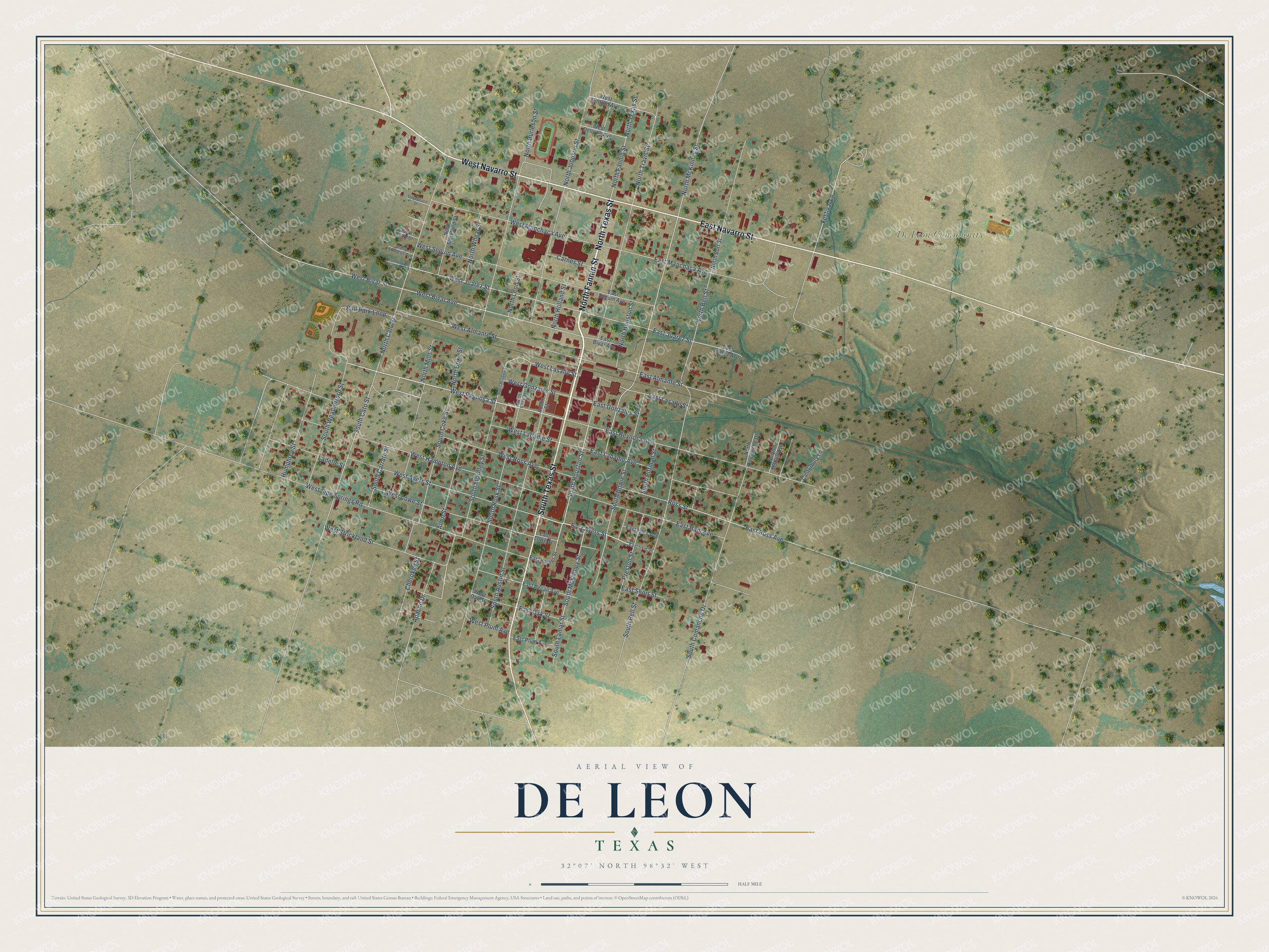
Street and place names on the De Leon, Texas map
These names are printed on the map of De Leon, Texas.
Places: De Leon Community Park.
Streets and roads: North Texas Street, East Navarro Street, South Texas Street, West Navarro Street, North Fannin Street, East Ayers Street, West Reynosa Street, South Houston Street, West Bivar Street, West Bivar Avenue, Festival Lane, North McKinney Street.
More street names, A to Z
Allen Street, Apache Drive, Austin Street, Ball Park Loop, Buck Board Drive, Canterbury Lane, Carnes Street, Cherokee Street, East Almante Street, East Bivar Avenue, East Files Avenue, East Gonzales Street, East Ham Avenue, East Irvin Street, East Joiner Street, East Juarez Avenue, East Juarez Street, East Labadie Avenue, East Lasalle Street, East Lowe Street, East Manchaca Avenue, East Oak Street, East Pecan Avenue, East Plum Avenue, East Reynosa Avenue, East Ross Avenue, East Seguin Avenue, East Short Street, Humphrey Street, Ladelle Street, North Bell Street, North Burleson Street, North Burr Street, North Cato Street, North Coke Street, North Comanche Drive, North Holland Street, North Houston Street, North Johnson Street, North Leon Street, North Mills Street, North Mohon Avenue, North Moreland Street, North Moseley Street, North Rusk Street, North Travis Street, North Wheat Street, Pony Express Avenue, Preston Street, Ross Street, South Austin Street, South Bell Street, South Bowie Street, South Carruth Street, South Cato Street, South Coke Street, South Comanche Drive, South Lamar Street, South McKinney Street, South Moseley Street, South Pittman Street, South Rusk Street, South Weatherford Street, Stagecoach Drive, Tumbleweed Avenue, West Almante Street, West Ayers Street, West Delores Avenue, West Gonzales Street, West Hampton Avenue, West Juarez Street, West Labadie Street, West Lasalle Street, West Lowe Street, West Manchaca Avenue, West Oak Street, West Plum Avenue, West Ross Avenue, West Seguin Avenue, West Sipe Springs Road, West Strickland Street, West Wofford Avenue.
See the De Leon, Texas map on a wall
The De Leon map as an 18 x 24 inch print in a black frame.

This beautifully detailed map of De Leon makes an attractive addition to your office, library, or den, and it can even be used to teach children the geography and history of the area. It also makes a great gift for anyone with De Leon roots. When you’re done exploring, click here to get your copy of the De Leon map.