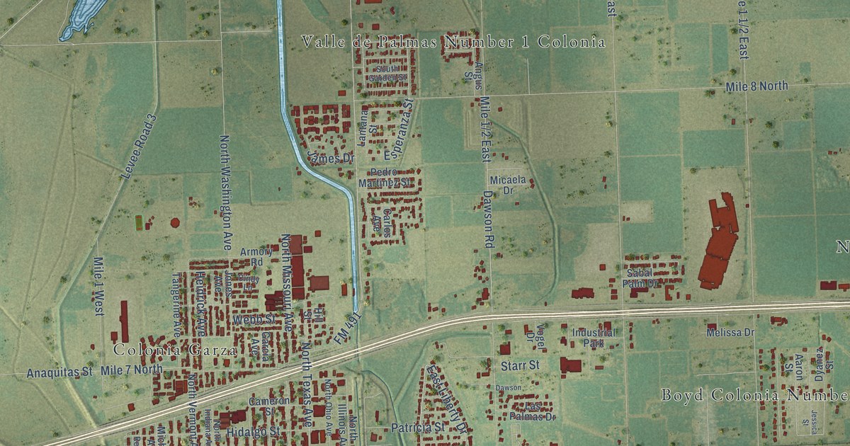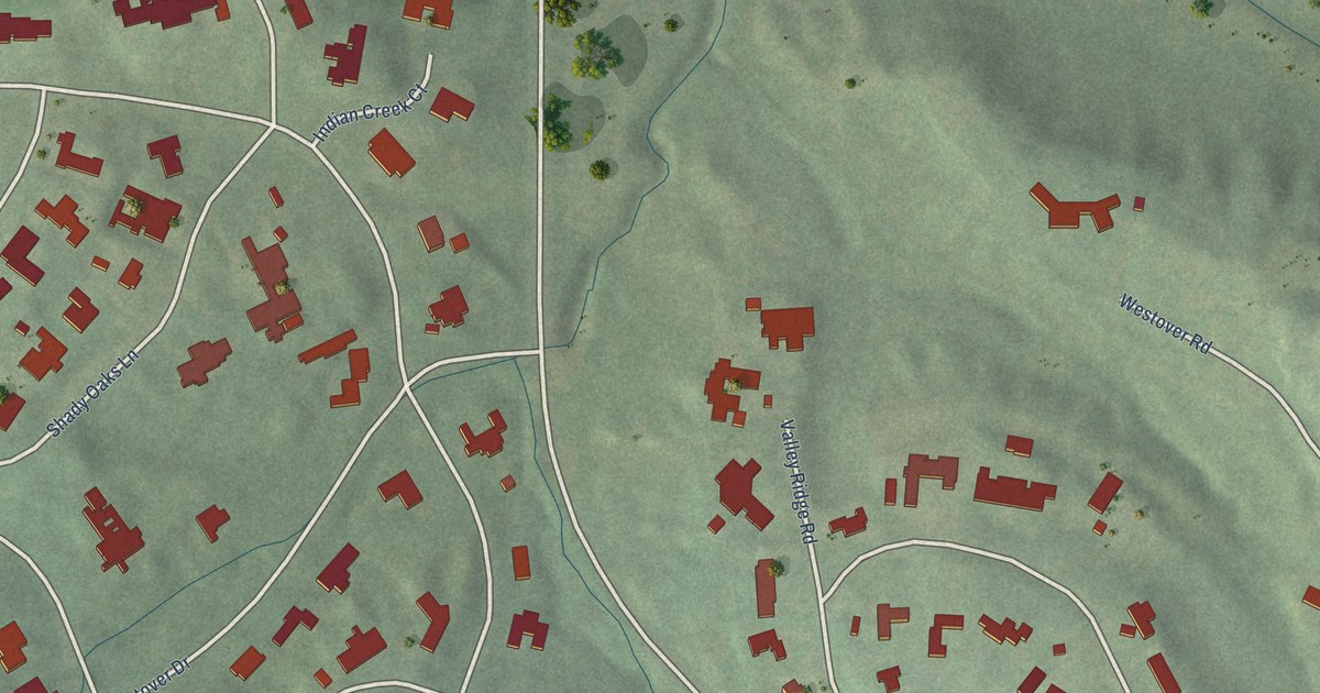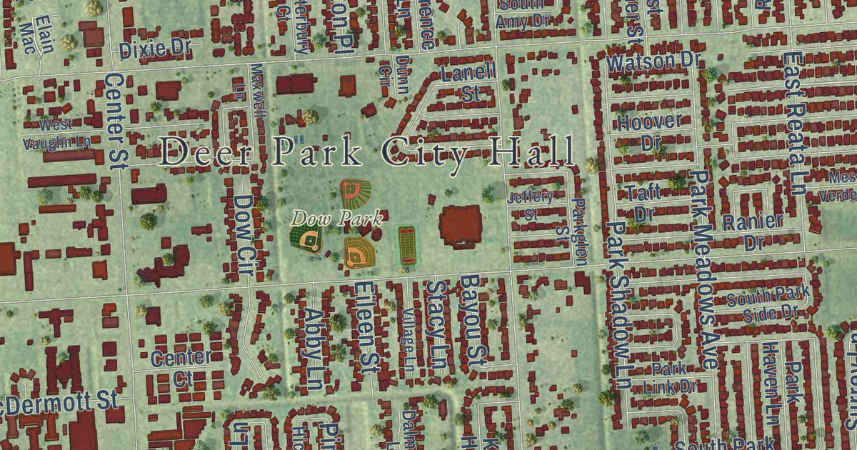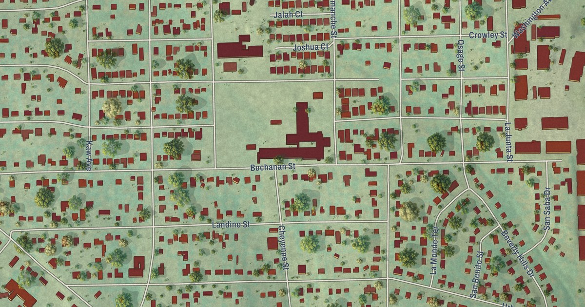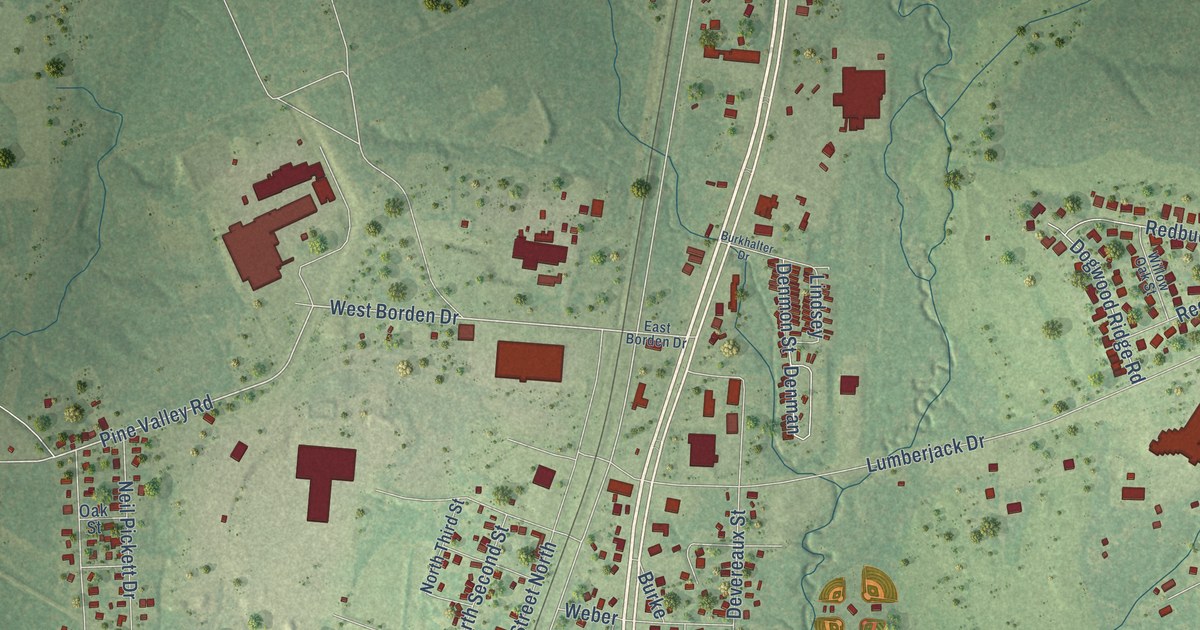
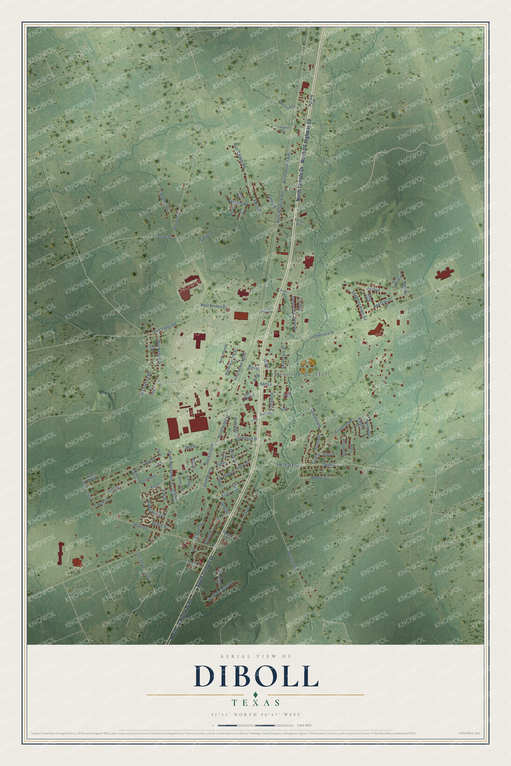
This beautifully detailed map of Diboll, Texas was created in 2026 using aerial imagery combined with modern topographical, census, street and landmark data. It’s a one-of-a-kind view of Diboll that combines accurate data with a vintage aesthetic. The map shows every building in its true location, many of the roads carry their names, and the shaded topographic relief shows the shape of the land.
Explore an aerial view of Diboll, Texas
On the map you’ll find Diboll City Hall, Rutland, and Dennis, along with North Temple Drive, North US Highway 59, South Temple Drive, South Neil Pickett Drive, Mill Street, Thompson Street, North Hines Street, Pine Valley Road, West Borden Drive, and more. If you look closely you can even find your house accurately drawn in its correct location. Zoom in on the preview to look for yours.
Did you know this piece of Diboll, Texas history?
From the Handbook of Texas: "In 1973 the town became the corporate headquarters for Temple Eastex, Incorporated, one of the nation's largest forest-product companies and a descendant of the old Southern Pine Lumber Company operations."
Take a closer look at the Diboll map
Street and place names on the Diboll, Texas map
These names are printed on the map of Diboll, Texas.
Places: Diboll City Hall, Rutland and Park.
Streets and roads: North Temple Drive, North US Highway 59, South Temple Drive, South Neil Pickett Drive, Mill Street, Thompson Street, North Hines Street, Pine Valley Road, West Borden Drive, Dennis, Lawrence Street, North Hendrix Avenue.
More street names, A to Z
April Lane, Arrington Road, Ashford, Ash Street, Avalon Street, Ballenger, Beech, Birdsong Lane, Booker Street, Box Factory Road, Brown, Burke, Burkhalter Drive, Carter, Cheshire Boulevard, Church, Corrine Drive, Cross Street, Cypress, Dale Street, Deer Trace Boulevard, Denman, Denmon Street, Devereaux Street, Dogwood Ridge Road, Durham, East Borden Drive, Eddins Street, Elm Street, Fairchild Road, First Street North, FM 1818 East, FM 2497, Fogg, Frankens, Fuller, Gandy Street, Glass Avenue, Glass Street, Hall, Hamner, Highway 59, Holubec Street, Jackson, Judd, Justice Clark, Kenley, Largent Lane, Lindsey, Locust, Lumberjack Drive, Lynn, Lynn Street, Magnolia Drive, Maynard, Mockingbird, Mulberry, Neil Pickett Drive, Nelson Drive, Nogle, North Hendrick Avenue, North Second Street, North Third Street, Oak Street, Office Street, Parker Lane, Peachtree Drive, Persimmon, Pine, Pinecrest Street, Pinewood, Redbud, Red Oak Lane, Rhone, Robert Nash Street, Robert Williams, Rutland Street, Ryan Chapel Road, Saxton, Service Center Road, Shady Lane, Shaw Street, South First Street, South Hines, South Meadows Drive, South Neal Pickett Street, State Loop 210, Stubblefield, Terrill Lane, Weber, Weeks, Wells, Westchester, White Oak, Willie Massey, Willow Oak Street, Winder, Wood.
See the Diboll, Texas map on a wall
The Diboll map as an 18 x 24 inch print in a black frame.

This beautifully detailed map of Diboll makes an attractive addition to your office, library, or den, and it can even be used to teach children the geography and history of the area. It also makes a great gift for anyone who grew up in Diboll or moved away. When you’re done exploring, click here to get your copy of the Diboll map.