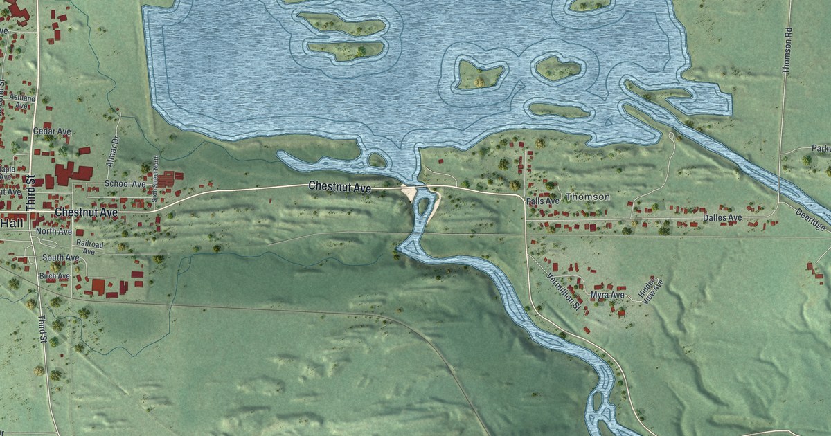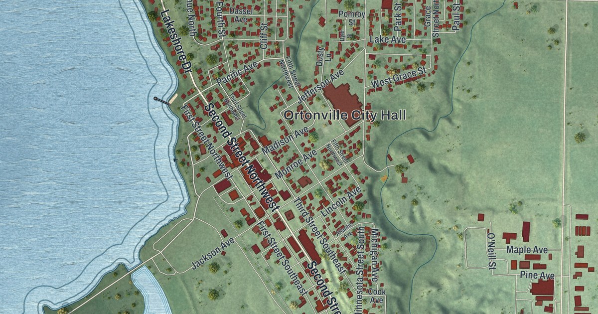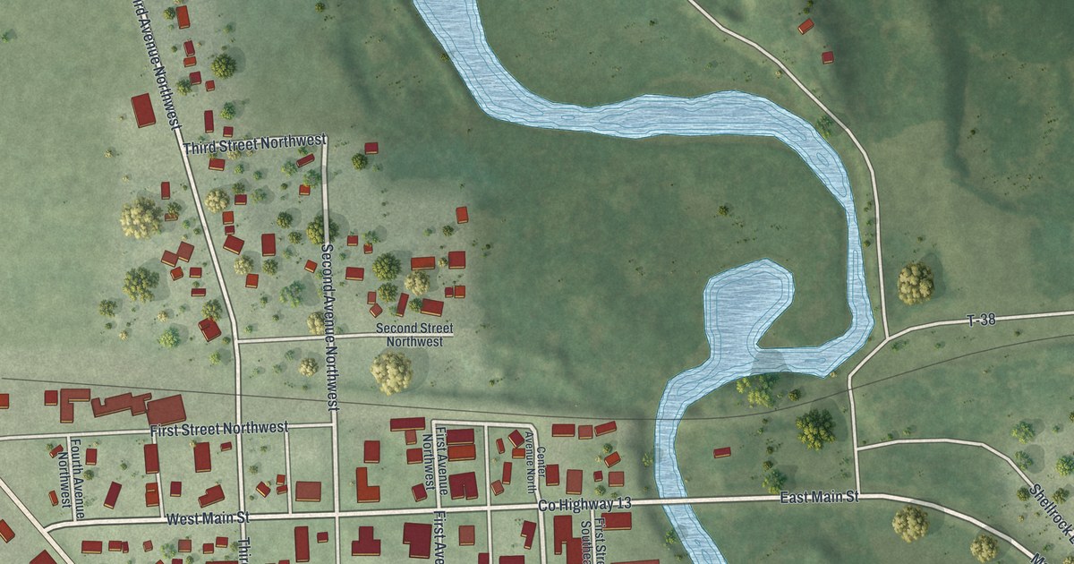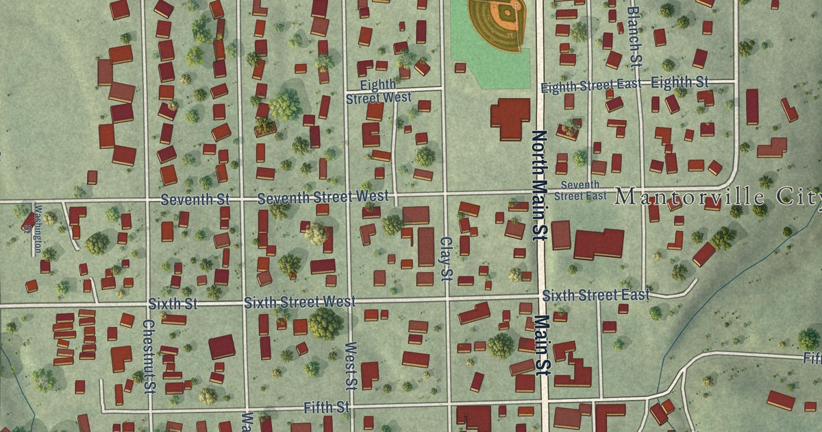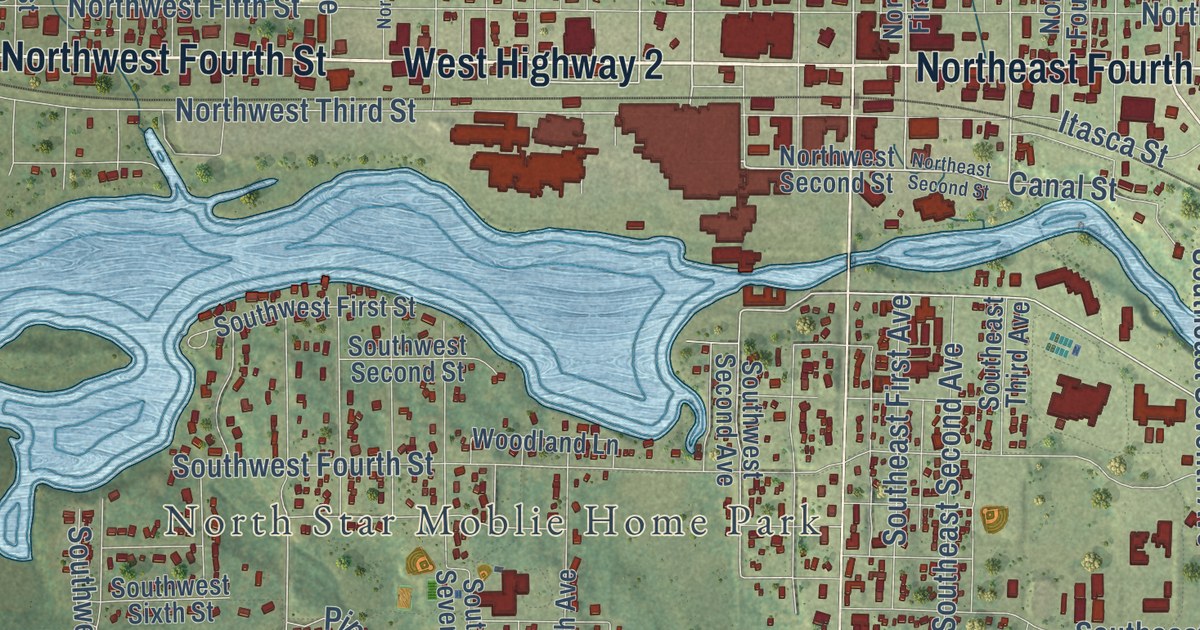
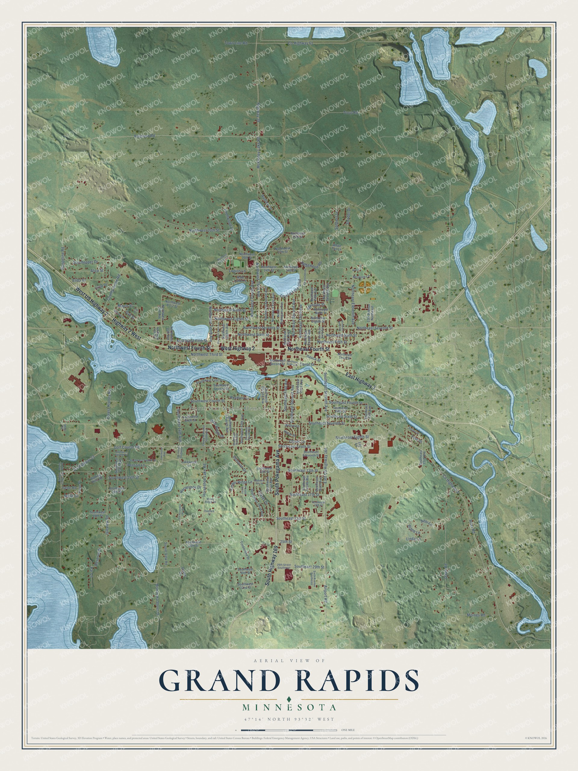
This beautifully detailed map of Grand Rapids, Minnesota was created in 2026 using aerial imagery combined with modern topographical, census, street and landmark data. It’s a one-of-a-kind view of Grand Rapids that combines accurate data with a vintage aesthetic. The map shows every building in its true location, many of the roads carry their names, and the shaded topographic relief shows the shape of the land.
Explore an aerial view of Grand Rapids, Minnesota
On the map you’ll find North Star Moblie Home Park, along with West Highway 2, West US Highway 2, Northwest Fourth Street, East Highway 2, Highway 2 West, South Pokegama Avenue, South Highway 169, Northwest Seventh Street, Crystal Lake Boulevard, Maple Street, Northwest Third Avenue, and more. If you look closely you can even find your house accurately drawn in its correct location. Zoom in on the preview to look for yours.
Did you know this piece of Grand Rapids, Minnesota history?
From the National Register of Historic Places: "Built in the center of town, this Richardsonian structure is one of the few basically unaltered 19th century buildings in Grand Rapids."
Take a closer look at the Grand Rapids map
Street and place names on the Grand Rapids, Minnesota map
These names are printed on the map of Grand Rapids, Minnesota.
Places: North Star Moblie Home Park.
Streets and roads: West Highway 2, West US Highway 2, Northwest Fourth Street, East Highway 2, Highway 2 West, Northeast Fourth Street, South Pokegama Avenue, South Highway 169, Northwest Seventh Street, Northwest Fourth Avenue, Crystal Lake Boulevard, McKinney Lake Road.
More street names, A to Z
13th Avenue Northeast, 14th Avenue Southwest, 25th Street, 29th Street Southeast, Abbi Lane, Airport Road, Alice Street, Audrey Lane, Benson Lane, Canal Street, Circle Drive, Clover Lane, County Highway 3, County Highway 23, County Highway 61, County Home Road, Davis Road, Deschepper Drive, Diane Lane, Donovan Drive, East US Highway 169, Eleventh Avenue Southwest, Elida Drive, Elm Street, Fairgrounds Road, Fern Street, Forest Hills Avenue, Forest History Road, Fraser Drive, Golf Course Road, Hacar Place, Hale Lake Lane, Highway 38, Horseshoe Drive, Horseshoe Lake Road, Irene Road, Isleview Road, Itasca Street, Knollwood Drive, Lakewood Avenue, Lakewood Lane, Legion Lane, Lily Lane, Linda Lane, Maple Ridge Road, Maple Street, McGuire Drive, McGuire Lane, Meyers Bay Road, Millie Drive, Mishawaka Shores Drive, Mornes Road, Northeast 14th Street, Northeast 20th Street, Northeast Eighth Street, Northeast Eleventh Avenue, Northeast Fifth Avenue, Northeast Fifth Street, Northeast First Avenue, Northeast Fourth Avenue, Northeast Ninth Avenue, Northeast Ninth Street, Northeast Second Avenue, Northeast Second Street, Northeast Seventh Avenue, Northeast Seventh Street, Northeast Sixth Avenue, Northeast Sixth Street, Northeast Third Avenue, Northeast Third Street, North Pokegama Avenue, Northwest 14th Street, Northwest 16th Avenue, Northwest 16th Street, Northwest 17th Avenue, Northwest 17th Street, Northwest 18th Avenue, Northwest 20th Street, Northwest Conifer Drive, Northwest Eighth Avenue, Northwest Eighth Street, Northwest Fifth Street, Northwest First Avenue, Northwest Ninth Avenue, Northwest Ninth Street, Northwest Second Avenue, Northwest Second Street, Northwest Sixth Street, Northwest Tenth Avenue, Northwest Third Avenue, Northwest Third Street, Norway Street, Oakdale Drive, Oak Street, Old Golf Course Road, Old Horseshoe Lake Road, Paige Place, Par Lane, Peterson Road, Pine Ridge Drive, Rangeline Road, Reserve Drive, Reynolds Street, Ridgewood Road, River Road, Rolling Hills Road, Sixth Avenue Southeast, Soldiers Lane, Southeast 13th Street, Southeast 14th Avenue, Southeast 17th Street, Southeast 18th Street, Southeast 21st Street, Southeast 23rd Avenue, Southeast 29th Street, Southeast Eighth Street, Southeast Eleventh Street, Southeast Fifth Street, Southeast First Avenue, Southeast Fourth Avenue, Southeast Fourth Street, Southeast Second Avenue, Southeast Seventh Avenue, Southeast Seventh Street, Southeast Sixth Avenue, Southeast Sixth Street, Southeast Tenth Street, Southeast Third Avenue, Southwest 13th Street, Southwest 14th Avenue, Southwest 14th Street, Southwest 15th Street, Southwest 16th Street, Southwest 18th Street, Southwest 23rd Avenue, Southwest 25th Street, Southwest 30th Street, Southwest 32nd Street, Southwest Eleventh Street, Southwest Fifth Avenue, Southwest First Avenue, Southwest First Street, Southwest Fourth Avenue, Southwest Fourth Street, Southwest Second Avenue, Southwest Second Street, Southwest Seventh Avenue, Southwest Sixth Avenue, Southwest Sixth Street, Southwest Third Avenue, Southwest Twelfth Street, Stoeke Drive, Stoeke Street, Strader Drive, Sunset View Road, Timberline Drive, Timber Ridge Lane, Town Line Road, Trout Road, Unser Road, White Tail Lane, Willow Lane, Woodland Lane.
See the Grand Rapids, Minnesota map on a wall
The Grand Rapids map as an 18 x 24 inch print in a black frame.

This beautifully detailed map of Grand Rapids makes an attractive addition to your office, library, or den, and it can even be used to teach children the geography and history of the area. It also makes a great gift for anyone with Grand Rapids roots. When you’re done exploring, click here to get your copy of the Grand Rapids map.