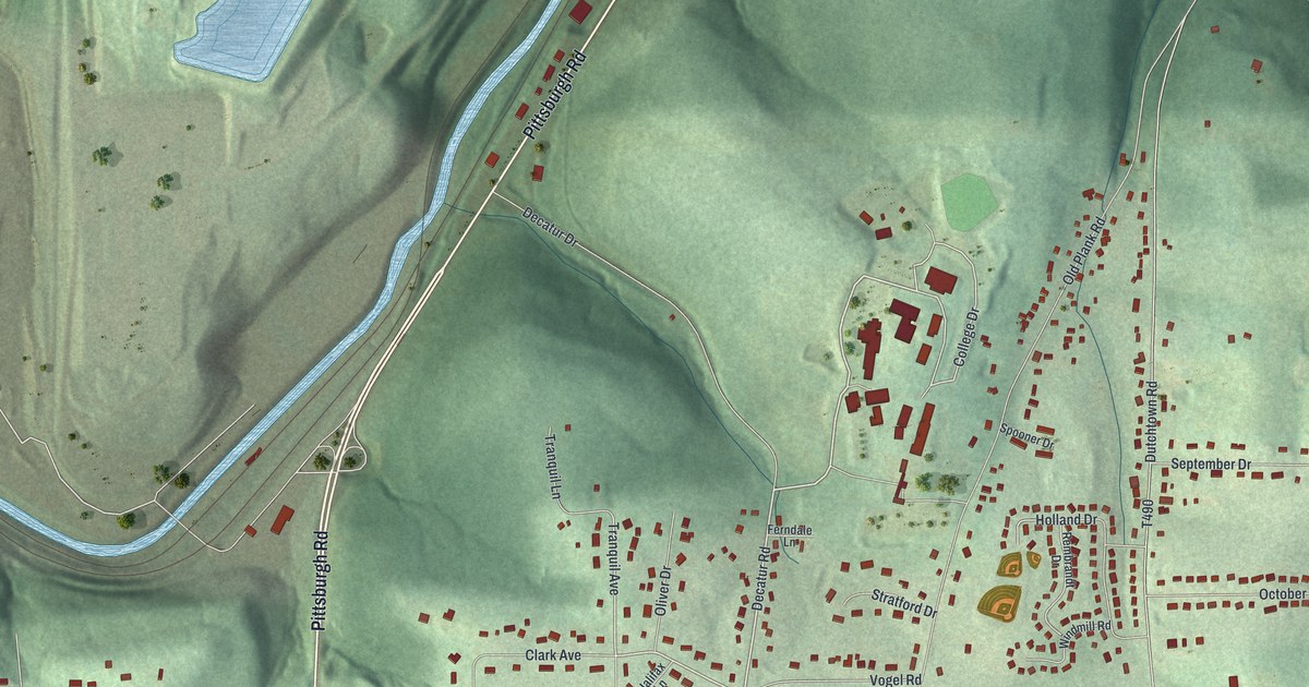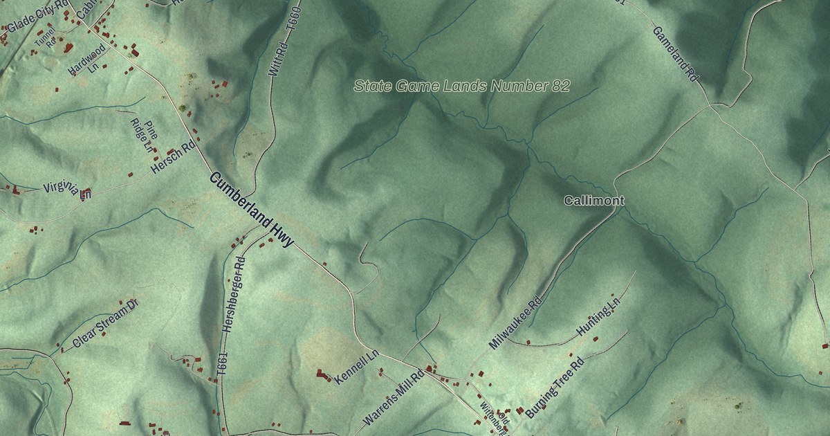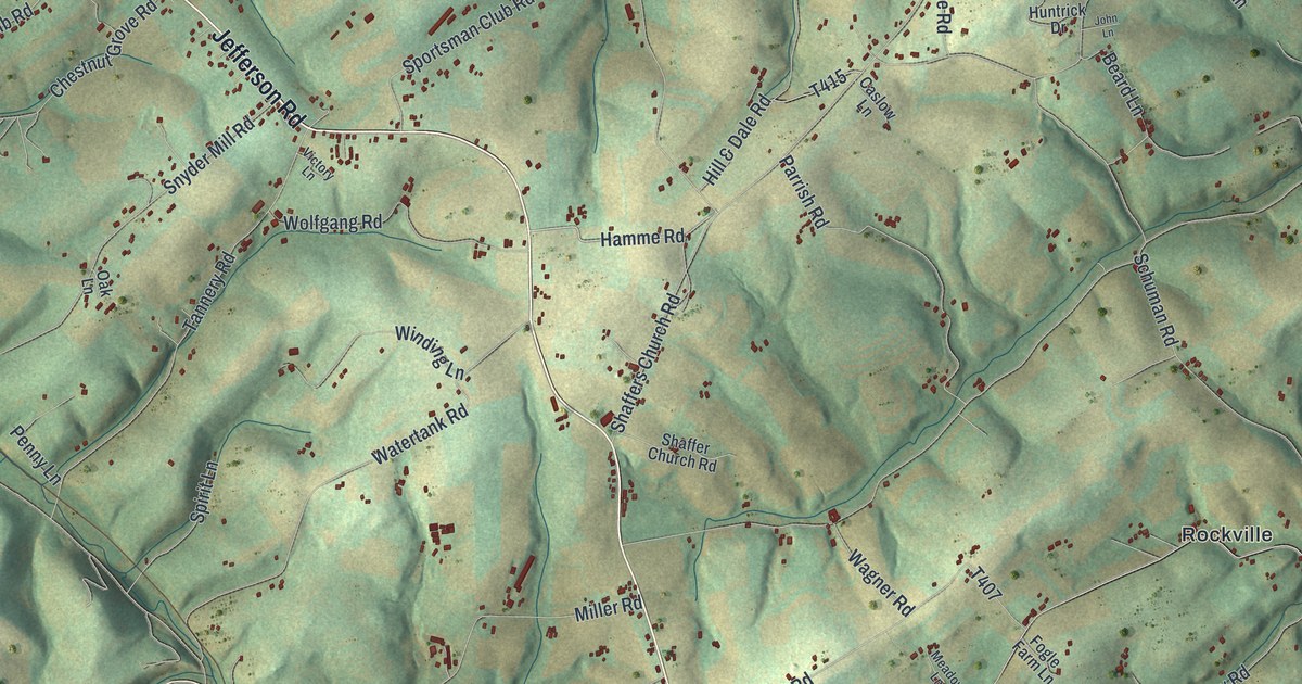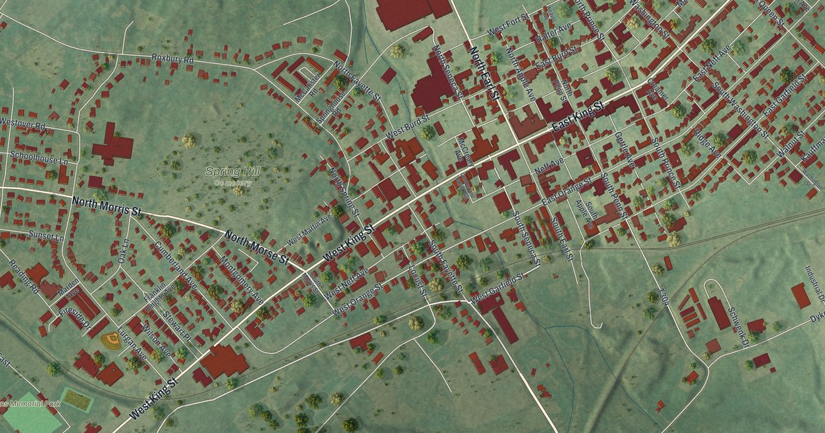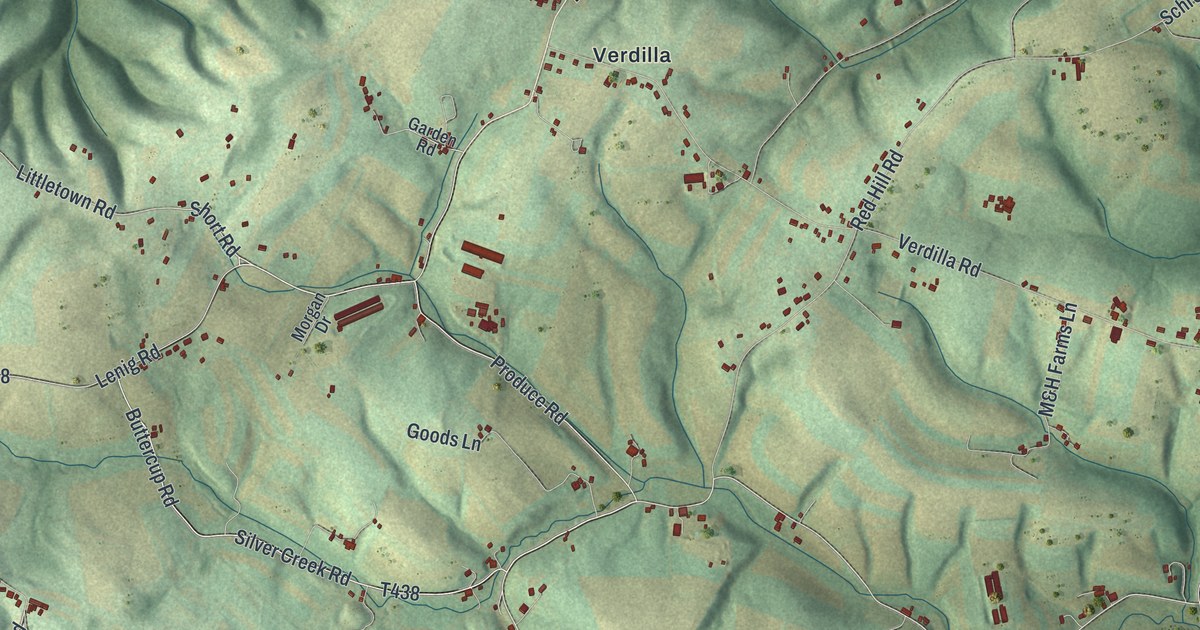
This beautifully detailed map of Union, Snyder County, Pennsylvania was created in 2026 using aerial imagery combined with modern topographical, census, street and landmark data. It’s a one-of-a-kind view of Union that combines accurate data with a vintage aesthetic. The map shows every building in its true location, many of the roads carry their names, and the shaded topographic relief shows the shape of the land.
Explore an aerial view of Union, Snyder County, Pennsylvania
On the map you’ll find Chapman, Port Trevorton, Dundore, State Game Lands Number 212, and Verdilla, along with South Susquehanna Trail, Produce Road, Silver Creek Road, McNess Road, Lenig Road, South Main Street, Littletown Road, and more. If you look closely you can even find your house accurately drawn in its correct location. Zoom in on the preview to look for yours.
Did you know this piece of Union, Snyder County, Pennsylvania history?
One of the first settlers in Union Township was Peter Witmer, born in Nassau in 1737. In 1766 he came up the Susquehanna River in a riverboat from Columbia. He landed on the spot that became the family farm and put up a log hut there. Five generations later, his descendants still lived on the same land. That’s from the 1886 History of the Susquehanna and Juniata Valleys.
Take a closer look at the Union, Snyder County map
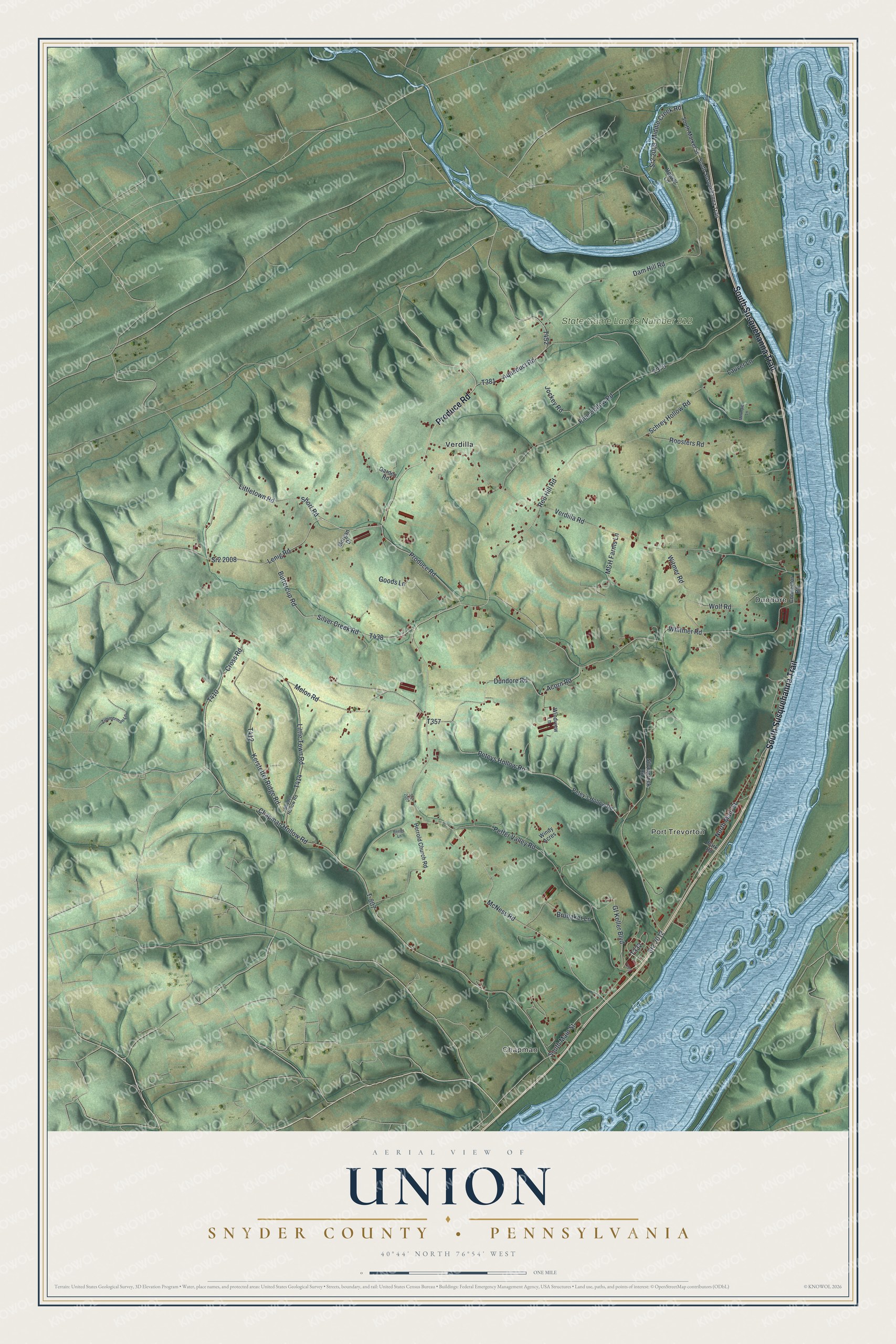
Street and place names on the Union, Snyder County, Pennsylvania map
These names are printed on the map of Union, Snyder County, Pennsylvania.
Places: Chapman, Port Trevorton, Dundore, State Game Lands Number 212 and Verdilla.
Streets and roads: South Susquehanna Trail, Produce Road, Silver Creek Road, McNess Road, Lenig Road, South Main Street, Littletown Road, Chapman Hollow Road, Buttercup Road, Sr2 2012, Witmer Road, Dundore Road.
More street names, A to Z
Acorn Road, Aqueduct Road, Brubaker Lane, Connector Road, Cross Road, Dam Hill Road, Garden Road, Gf Keller Boulevard, Goods Lane, Herrold Church Road, Hoover Lane, Jockey Road, Kerstetter Ridge Road, Lauver Lane, Little Town Road, M&H Farms Lane, Melon Road, Mermaid Lane, Middle Creek Road, Morgan Drive, North Main Street, Park Road, Peffer Valley Road, Petey's Hollow Road, Peteys Hollow Road, Pine Hollow Road, Red Hill Road, Reeds Lane, Roosters Road, Schrey Hollow Road, Short Road, Silvercreek Road, Snyder Hollow Road, South Market Street, Sr2 2007, Sr2 2008, Sr2 2009, T-807, Verdilla Road, Whitmer Road, Windview Lane, Windy Acres, Wolf Road, Zimmerman Lane.
See the Union, Snyder County, Pennsylvania map on a wall
The Union, Snyder County map as an 18 x 24 inch print in a black frame.

This beautifully detailed map of Union, Snyder County makes an attractive addition to your office, library, or den, and it can even be used to teach children the geography and history of the area. It also makes a great gift for someone who left Union and still calls it home. When you’re done exploring, click here to get your copy of the Union, Snyder County map.