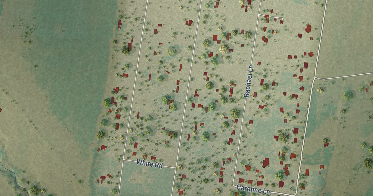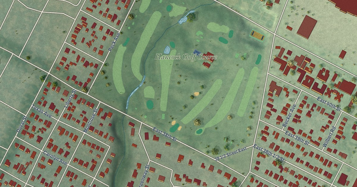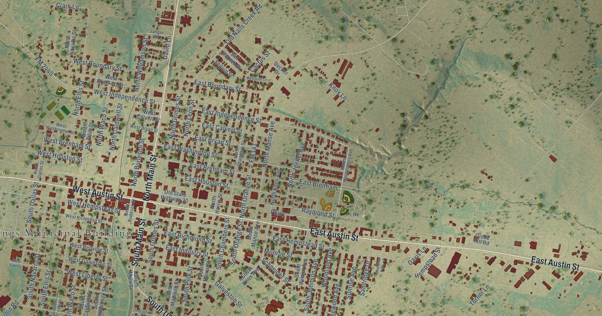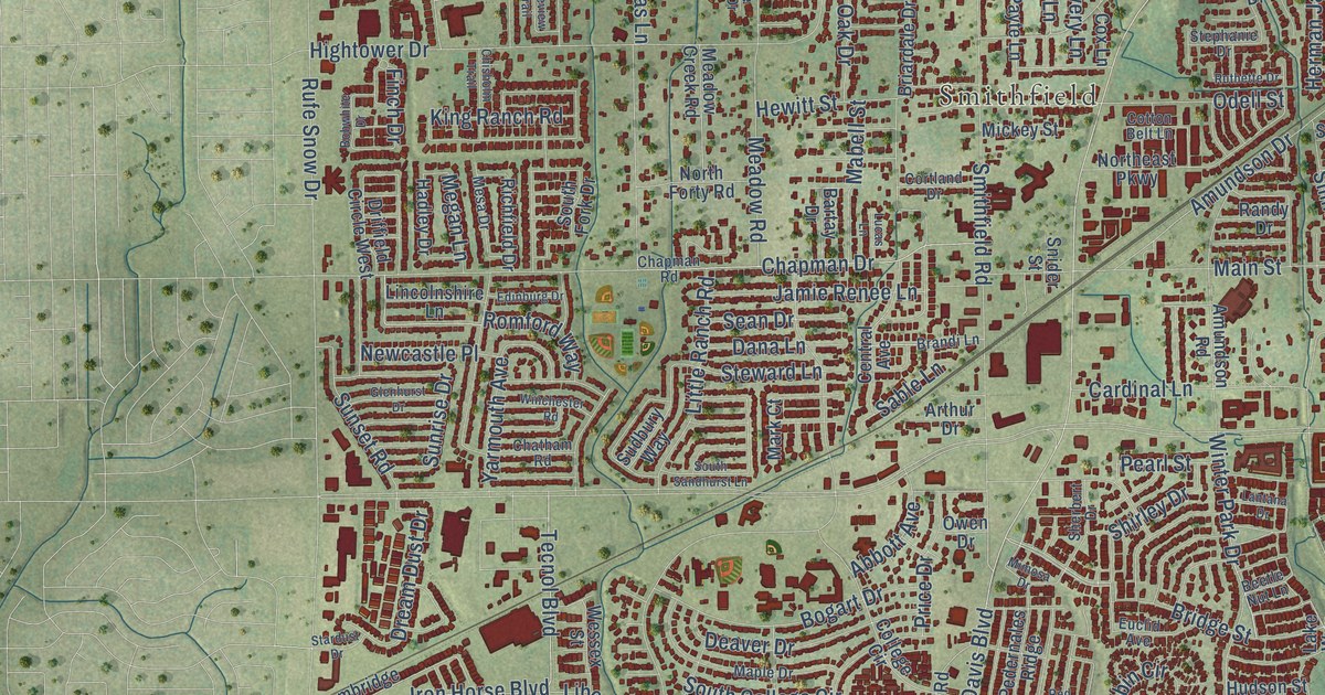
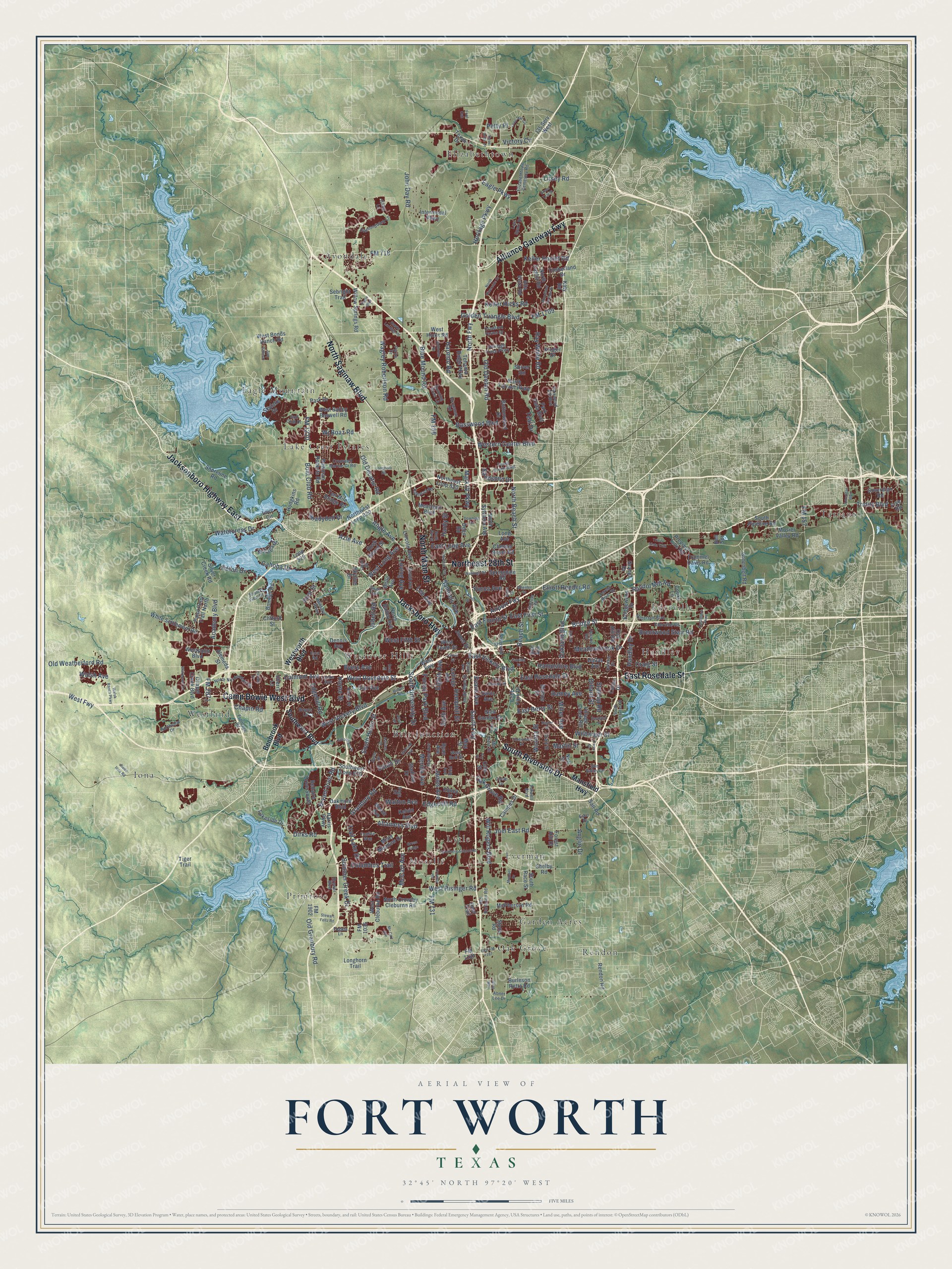
This beautifully detailed map of Fort Worth, Texas was created in 2026 using aerial imagery combined with modern topographical, census, street and landmark data. It’s a one-of-a-kind view of Fort Worth that combines accurate data with a vintage aesthetic. The map shows every building in its true location, many of the roads carry their names, and the shaded topographic relief shows the shape of the land.
Explore an aerial view of Fort Worth, Texas
On the map you’ll find Avondale, Belt Junction, Eagle Mountain, Ederville, Elizabethtown, Everman, Garden Acres, Handley, Iona, Lake Crest Estates, Lytle, Moselle, and more. If you look closely you can even find your house accurately drawn in its correct location. Zoom in on the preview to look for yours.
Did you know this piece of Fort Worth, Texas history?
From the Handbook of Texas: "The Fort Worth Country Club course, the first in the city, opened in late 1903, followed by the River Crest Country Club course in 1911."
Take a closer look at the Fort Worth map
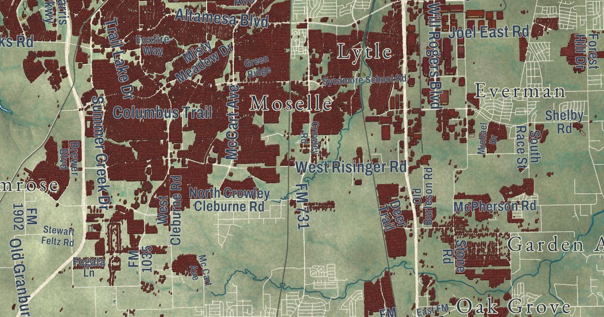
Street and place names on the Fort Worth, Texas map
These names are printed on the map of Fort Worth, Texas.
Places: Elizabethtown, Iona, Tarrant, Rendon, Avondale, Eagle Mountain, Ederville, Westland, Belt Junction, Primrose, Moselle, Everman, Westover Hills, Oak Grove, Handley, Lake Crest Estates, Lytle and Garden Acres.
Streets and roads: North Main Street, South Riverside Drive, East Rosedale Street, North Saginaw Boulevard, Jacksboro Highway, Camp Bowie West Boulevard, Alliance Gateway Fwy, Jacksonboro Highway East, Northeast 28th Street, South Fwy, Randol Mill Road, Blue Mound Road.
More street names, A to Z
Abner Lee Drive, Academy Boulevard, Airport Fwy, Aledo Iona Road, Alemeda Street, Altamesa Boulevard, Alta Vista Road, Alton Road, American Boulevard, Anderson Boulevard, Angle Avenue, Anglin Drive, Arborlawn Drive, Autumn Drive, Azle Avenue, Basswood Boulevard, Baylor Street, Beach Street, Bellaire Drive South, Belle Avenue, Belle Place, Bell Spr, Ben Avenue, Benbrook Boulevard, Bishop Street, Boat Club Road, Bomber Road, Bowman Roberts Road, Brants Lane, Brentwood Stair Road, Brewer Boulevard, Bridge Street, Bridgewood Drive, Bryan Avenue, Bryant Irvin Road, Burleson Retta Road, Buttonwood Drive, Byers Avenue, Cahoba Drive, Calmont Avenue, Camilla Street, Campus Drive, Canton Drive, Capri Drive, Carey Street, Carl Street, Chapel Creek Boulevard, Chapin Road, Cherry Lane, Chesser Boyer Road, Circle Drive, Clifford Street, Cobb Park Drive, Cole Street, College Avenue, Columbus Trail, Cooks Lane, Craig Street, Crawford Farms Drive, Cromwell Marine Cr Road, Crowley Road, Dallas Avenue, Davis Avenue, Decatur Avenue, Deen Road, Deer Trail, Dennis Avenue, Diamondback Lane, Diaz Avenue, Dillard Street, Dirks Road, Downing Drive, Eagle Boulevard, Eagle Drive, Eagle Parkway, East Berry Street, Eastchase Parkway, East First Street, East FM 1187, East Fourth Street, Eastland Street, East Long Avenue, East Morphy Street, East Vickery Boulevard, Ederville Road, Edgecliff Road, Edgehill Road, Edney Street, Eighth Avenue, Elizabethtown Cemetery Road, Elliott Reeder Road, Erath Street, Esco Drive, Evans Avenue, Fifth Avenue, First Street, FM 156, FM 157, FM 718, FM 731, FM 1035, FM 1187, FM 1220, FM 1709, FM 1902, FM 2871, Fogata Lane, Folwell Boulevard, Ford Oak, Forest Hill Drive, Forest Park Boulevard, Forest River Drive, Fossil Creek Boulevard, Foxfire Way, Frazier Avenue, Frontage Road, Frye Road, Fry Street, Gilley Lane, Glen Garden Drive, Golden Triangle Boulevard, Golf Club Drive, Gould Avenue, Granbury Road, Gravel Drive, Greenbelt Road, Green Ridge, Green Teal Street, Haltom Road, Hampshire Boulevard, Handley Drive, Hardy Street, Harmon Road, Harris Parkway, Hawks Landing Road, Hemphill Street, Heritage Parkway, Heritage Trace Parkway, Heron Drive, Hervie Street, Hodgkins Road, Horne Street, Horseman Road, I35 Serv West, Inca Road, Intermodal Parkway, Isbell Road, James Avenue, Jarvis Street, Jenson Road, Joel East Road, John Day Road, Jones Street, Katy Road, Keller Haslet Road, Keller Hicks Road, Kelvin Avenue, Kroger Drive, Lakeside Drive, Laredo Drive, Lee Avenue, Lincoln Avenue, Litsey Road, Locke Avenue, Lone Star Circle, Long Avenue, Longhorn Road, Longhorn Trail, Loop 820, Lost Spurs Road, Love Circle, Loving Avenue, Lucas Drive, Malaga Drive, Mansfield Highway, Mark IV Parkway, Martin Street, May Street, McCart Avenue, Mc Cart Avenue, Mc Clure Street, McPherson Road, Meacham Boulevard, Meadowbrook Drive, Merida Avenue, Michael Drive, Military Parkway, Miller Avenue, Misty Meadow Drive, Mopac Road, Mosier Valley Road, Nell Street, Nixon Street, North Bailey Avenue, North Beach Street, North Caylor Road, North Crowley Cleburne Road, Northeast Loop 820, North Elm Street, North Fwy, North Normandale Street, North Riverside Drive, North Sylvania Avenue, North Tarrant Parkway, Northview Drive, Northwest Loop 820, Oak Grove Road, Oak Hill Road, Oakland Boulevard, Oakmont Boulevard, Old Burleson Road, Old Decatur Road, Old Denton Road, Old Granbury Road, Old Weatherford Road, Paint Pony Trail North, Park Drive, Park Vista Boulevard, Parkwood Hill Boulevard, Petty Place, Precinct Line Road, Pyrite Drive, Quail Trail, Railhead Road, Ramey Avenue, Ray White Road, Rendon Road, Riverside Drive, Rock Island Street, Running River Lane, Ryan Avenue, Saltbrush Street, Salt Road, Samuels Avenue, Sandshell Drive, San Simeon, Sarita Drive, Sebright Trail, Shadydell Drive, Shelby Road, Shiver Road, Shoreline Road, Shore View Drive, Silver Creek Road, Sixth Avenue, Skylake Drive, Skyline Drive, South Cravens Road, South Drive, South Hulen Street, South Main Street, South Pipeline Road, South Race Street, South University Drive, Southwest Boulevard, Southwest Loop 820, Sovereign Road, Springdale Road, Stadium Drive, Stalcup Road, Stewart Feltz Road, Stone Road, Summer Creek Drive, Sun Valley Drive, Sycamore School Road, Teal Drive, Tehama Ridge Parkway, Ten Mile Bridge Road, Texan Drive, Three Wide Drive, Tiger Trail, Timberland Drive, Timberline Drive, Trail Lake Drive, Trammel Davis Road, Trinity Boulevard, Trinity Vista Trail, Vega Drive, Victory Circle, Village Creek Road, Wagley Robertson Road, Wakecrest Drive, Walsh Avenue, Walsh Ranch Parkway, Walton Avenue, Watauga Road, Watercress Drive, Welch Avenue, West Bailey Boswell Road, West Bolt Street, West Bonds Ranch Road, West Cleburne Road, Western Center Boulevard, West Fifth Street, West Fwy, West Hicks Road, West Long Avenue, Westpoint Boulevard, West Risinger Road, West Rosedale Street, West Tenth Street, West Vickery Boulevard, Westworth Boulevard, Wheeler Street, White Settlement Road, Wichita Street, Wilbarger Street, Willow Springs Road, Will Rogers Boulevard, Winfield Avenue, Wing Way, Wj Boaz Road, Woodland Springs Drive, Yucca Avenue, Yuma Drive.
See the Fort Worth, Texas map on a wall
The Fort Worth map as an 18 x 24 inch print in a black frame.

This beautifully detailed map of Fort Worth makes an attractive addition to your office, library, or den, and it can even be used to teach children the geography and history of the area. It also makes a great gift for someone who left Fort Worth and still calls it home. When you’re done exploring, click here to get your copy of the Fort Worth map.