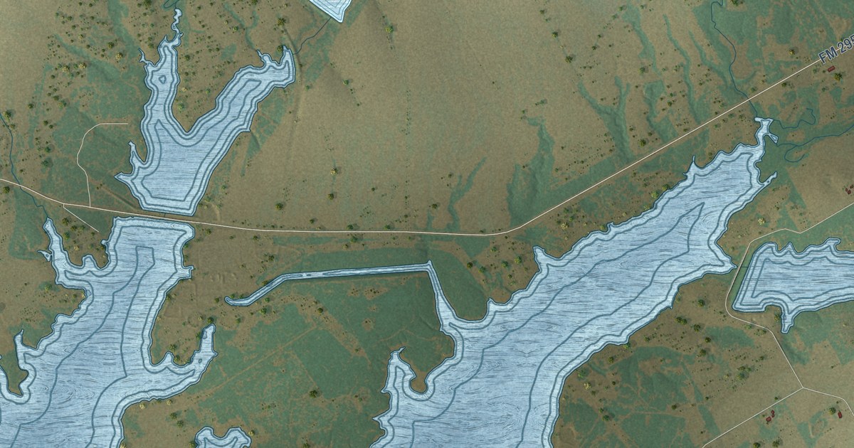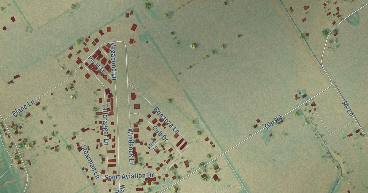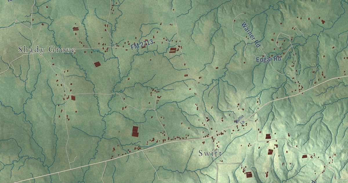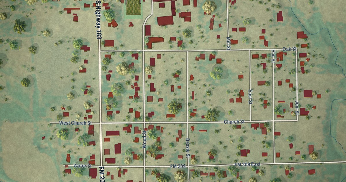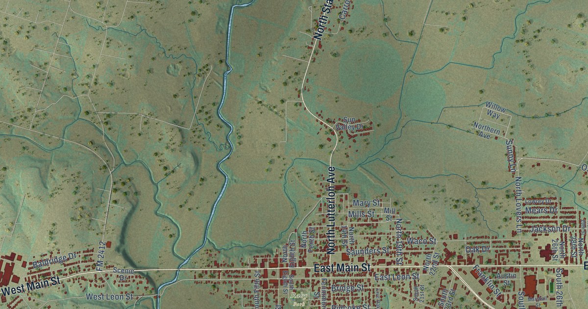
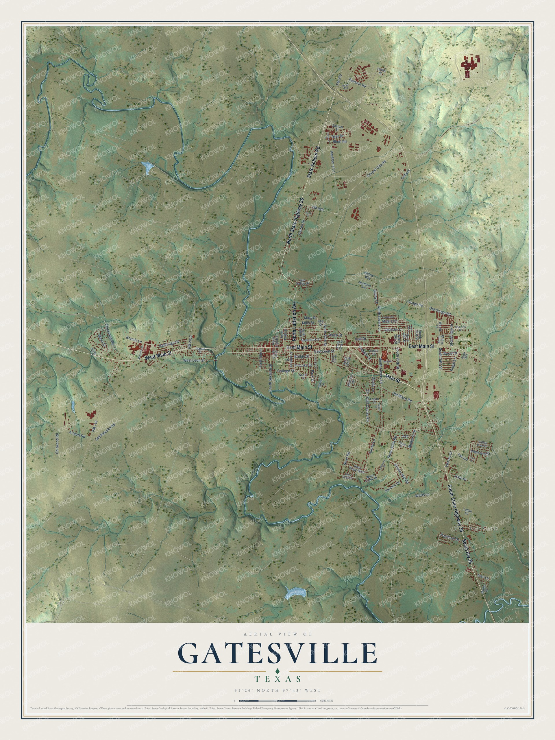
This beautifully detailed map of Gatesville, Texas was created in 2026 using aerial imagery combined with modern topographical, census, street and landmark data. It’s a one-of-a-kind view of Gatesville that combines accurate data with a vintage aesthetic. The map shows every building in its true location, many of the roads carry their names, and the shaded topographic relief shows the shape of the land.
Explore an aerial view of Gatesville, Texas
On the map you’ll find Fort Gates, Freedom Park, Raby Park, and South Hw 36, along with East Main Street, West Main Street, South State Highway 36, State School Road, Main Street, North State Highway 36, North Lutterloh Avenue, Old Osage Road, and more. If you look closely you can even find your house accurately drawn in its correct location. Zoom in on the preview to look for yours.
Did you know this piece of Gatesville, Texas history?
From the Handbook of Texas: "One, the Gatesville State School for Boys, was established in 1887; the other, the Mountain View School for Boys, was established in 1962."
Take a closer look at the Gatesville map
Street and place names on the Gatesville, Texas map
These names are printed on the map of Gatesville, Texas.
Places: Fort Gates, Freedom Park and Raby Park.
Streets and roads: East Main Street, West Main Street, South State Highway 36, State School Road, Main Street, North State Highway 36, South Hw 36, North Lutterloh Avenue, Old Osage Road, Sunny Lane, Shady Lane, Osage Road.
More street names, A to Z
Adair Avenue, Airport Road, Ash, Austin Street, Baize Drive, Baize Street, Baldridge Drive, Bluestem Drive, Brandy Lane, Bridge Street, Buddy Drive, Carroll Drive, Cattle Drive, Chicktown Road, Chitwood Road, Churchill Drive, Clover Street, College Street, Collin Street, Coryell City Road, Creek Cliff Drive, Dyer Drive, East Leon Street, Elizabeth Drive, Fennimore Street, FM 107, FM 116, FM 215, FM 929, FM 2412, Franklin Street, Golf Course Road, Hackberry Lane, Hamilton Drive, Hillcrest Drive, Inez Lane, Jackson Drive, Kim Street, Lakewood Drive, Lark Street, Live Oak Street, Logan Lane, Lowrey Drive, Lydon Lane, Marshall Street, Mary Street, Mears Drive, Memorial Drive, Mesa Drive, Mills Street, Mill Street, Mulberry Street, North 14th Street, North 19th Street, North 22nd Street, North 26th Street, North 28th Street, North 29th Street, North 31st Street, North 34th Street, North Eighth Street, Northern Avenue, North Lovers Lane, North Tenth Street, Oak Drive, Old Pidcoke Road, Old Waco Road, Pamela Drive, Park Street, Pate Drive, Pecan Street, Pidcoke Street, Ransom Road, Regal Lane, Rhett Road, River Place West, River Ridge Drive, River Road, Royal Drive, Samuel Street, Saunders Street, Scenic Drive, South 21st Street, South 23rd Street, South 26th Street, South 34th Street, South 36th, South Eighth Street, South Fifth Street, South Lovers Lane, South Seventh Street, South Street, Stoneridge Drive, Straw Mills Road, Straws Mill Road, Sun Valley Drive, Surrey Lane, Valley View Drive, Veazey Drive, Waco Street, Watts Lane, West Leon Street, Willow Way, Wood Creek Drive, Woods Drive.
See the Gatesville, Texas map on a wall
The Gatesville map as an 18 x 24 inch print in a black frame.

This beautifully detailed map of Gatesville makes an attractive addition to your office, library, or den, and it can even be used to teach children the geography and history of the area. It also makes a great gift for anyone with Gatesville roots. When you’re done exploring, click here to get your copy of the Gatesville map.