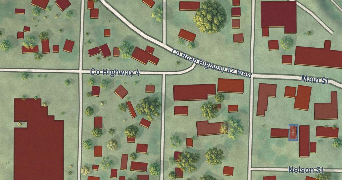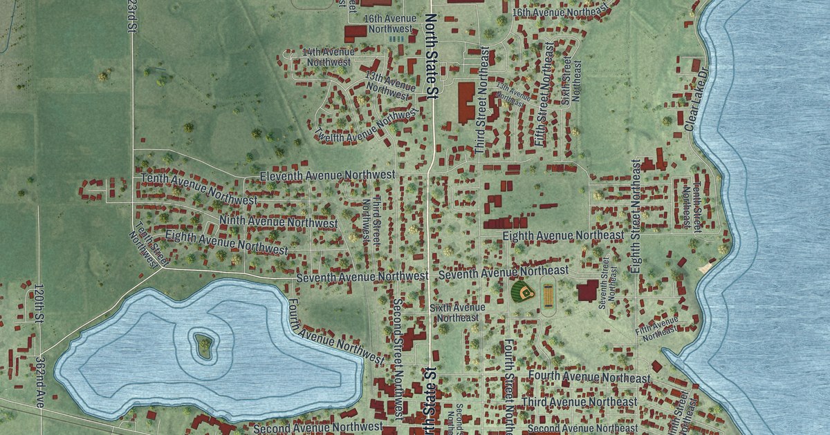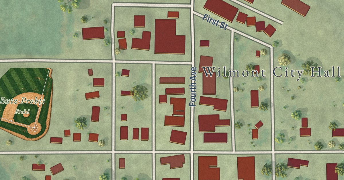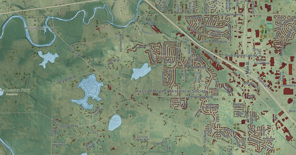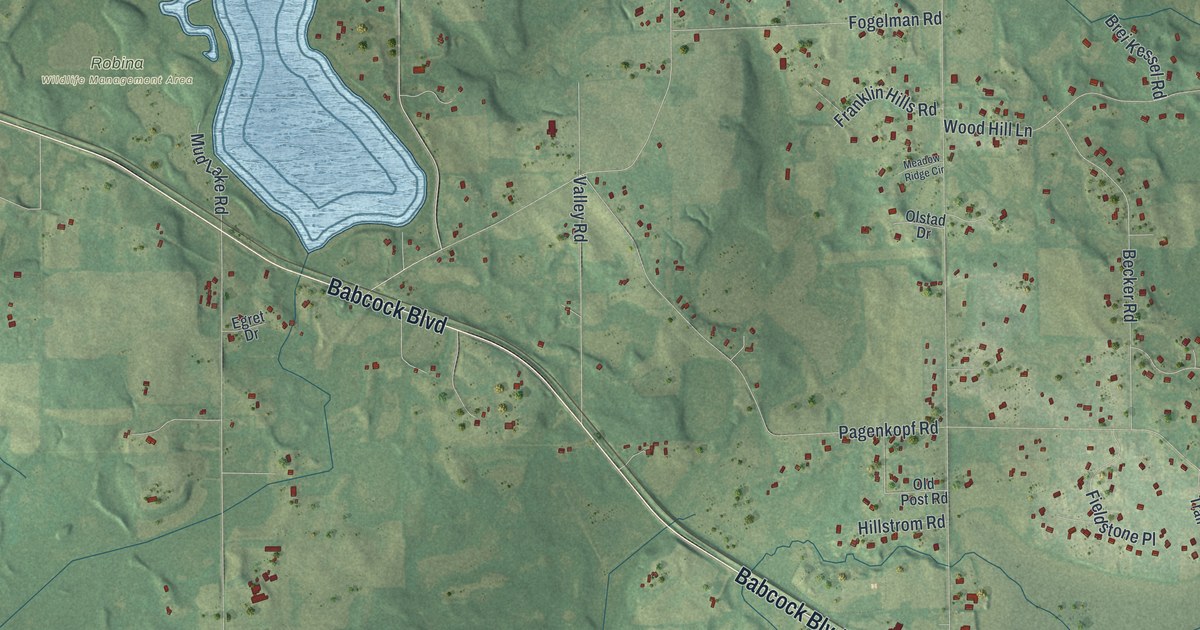
This beautifully detailed map of Independence, Minnesota was created in 2026 using aerial imagery combined with modern topographical, census, street and landmark data. It’s a one-of-a-kind view of Independence that combines accurate data with a vintage aesthetic. The map shows every building in its true location, many of the roads carry their names, and the shaded topographic relief shows the shape of the land.
Explore an aerial view of Independence, Minnesota
On the map you’ll find Lyndale, Armstrong, Lake Rebecca Park Reserve, Robina Wildlife Management Area, and Pioneer Creek, along with Babcock Boulevard, Hart Street, Budd Street, Game Farm Road, Watertown Road, Copeland Road, County Line Road Southeast, and more. If you look closely you can even find your house accurately drawn in its correct location. Zoom in on the preview to look for yours.
Did you know this piece of Independence, Minnesota history?
From the 1881 History of Hennepin County and the City of Minneapolis: "Independence is situated in the western part of the county, and derives its name from Lake Independence, a large lalce lying partly in this town and partly in Medina."
Take a closer look at the Independence map
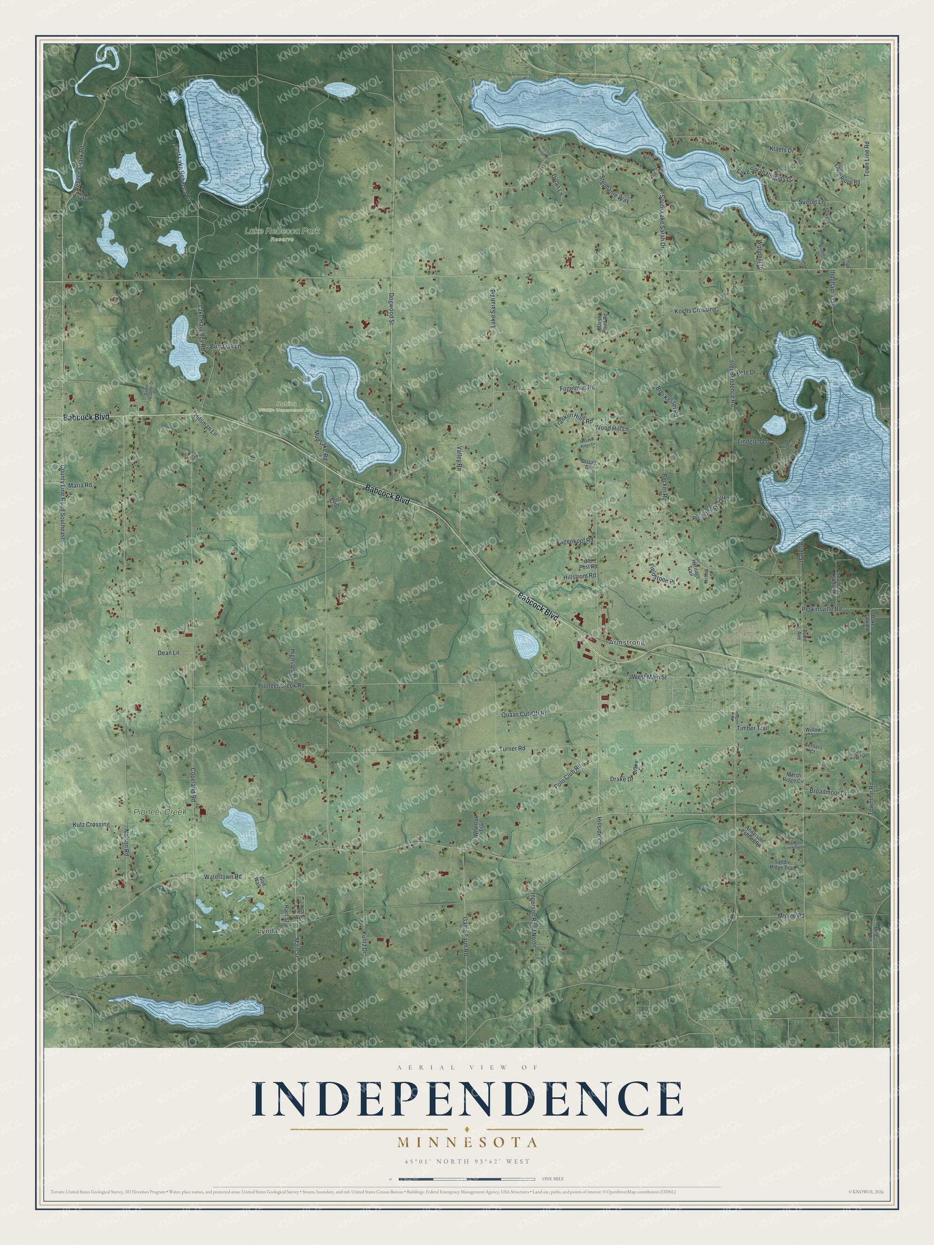
Street and place names on the Independence, Minnesota map
These names are printed on the map of Independence, Minnesota.
Places: Lyndale, Armstrong, Lake Rebecca Park Reserve, Robina Wildlife Management Area and Pioneer Creek.
Streets and roads: Babcock Boulevard, Hart Street, Budd Street, Game Farm Road, Watertown Road, Copeland Road, County Line Road Southeast, Nelson Road, Lake Sarah Road, Turner Road, Pagenkopf Road, South Lake Sarah Drive.
More street names, A to Z
Anderson Estates Road, Baker Park Road, Becker Road, Bell Rose Drive, Brei Kessel Road, Broadmoor Drive, Budd Avenue, Burr Oak Lane, Dawn Heather Drive, Dean Lane, Deer Ridge Trail, Dogwood Street, Drake Court, Drake Drive, Dylan Lane, Eagle Ridge Road, East Lake Rebecca Road, Egret Drive, Fern Drive, Fieldstone Place, First Avenue, Fogelman Road, Franklin Hills Road, Golf Walk, Halgren Road, Heritage Trail, Highsted Drive, Hillside Lane, Hillstrom Road, Hitsman Lane, Ihduhapi Trail, Independence Road, Ingerson Road North, Island Drive, Klaers Drive, Kochs Crossing, Kuntz Drive, Kutz Crossing, Lake Haughey Road, Lake Sarah Heights Drive, Lindgren Lane, Main Street, Maria Road, Marsh Point Road, Marsh Ridge Circle, McCulley Road, McDow Lane, Meadow Ridge Circle, Moline Road, Mud Lake Road, Old Post Road, Olstad Drive, Painter Creek Green, Perkinsville Road, Pete Drive, Pioneer Creek Road, Polo Club Road, Providence Curve, Quaas Cut-Off Road, Rachel Ridge Court, Rebecca Park Road, Roy Road, Saddle Ridge Trail, Settlers Court, Shady Beach Circle, South Lake Shore Drive, Stephanie Way, Sunset Lane, Timber Trail, Town Line Road, Townline Road, Valley Road, West Main Street, Wild Oak Trail, Willow Street, Windmill Drive, Woodhill Drive, Wood Hill Lane.
See the Independence, Minnesota map on a wall
The Independence map as an 18 x 24 inch print in a black frame.

This beautifully detailed map of Independence makes an attractive addition to your office, library, or den, and it can even be used to teach children the geography and history of the area. It also makes a great gift for anyone with Independence roots. When you’re done exploring, click here to get your copy of the Independence map.