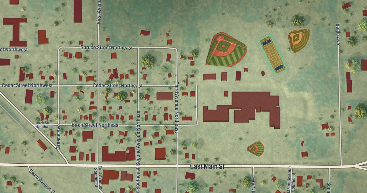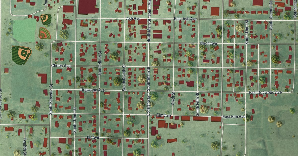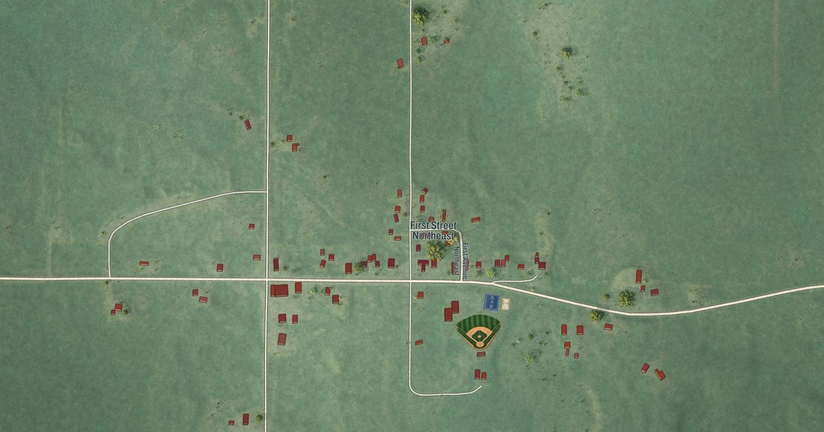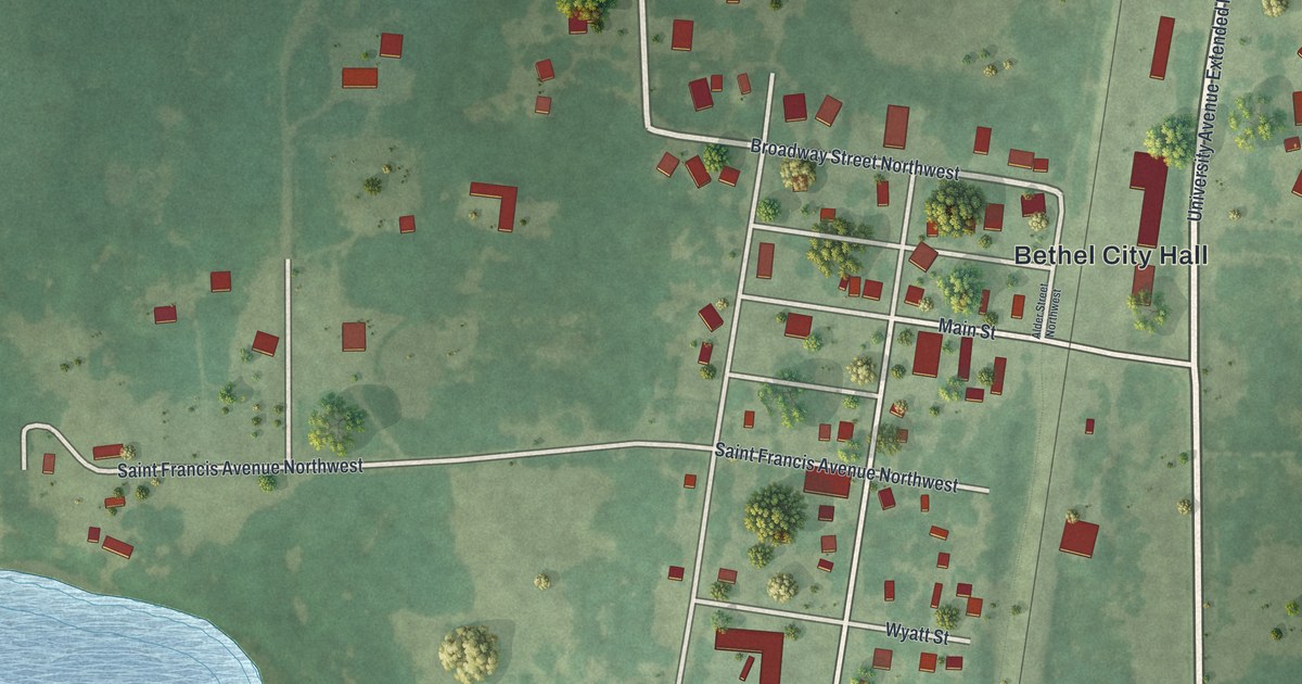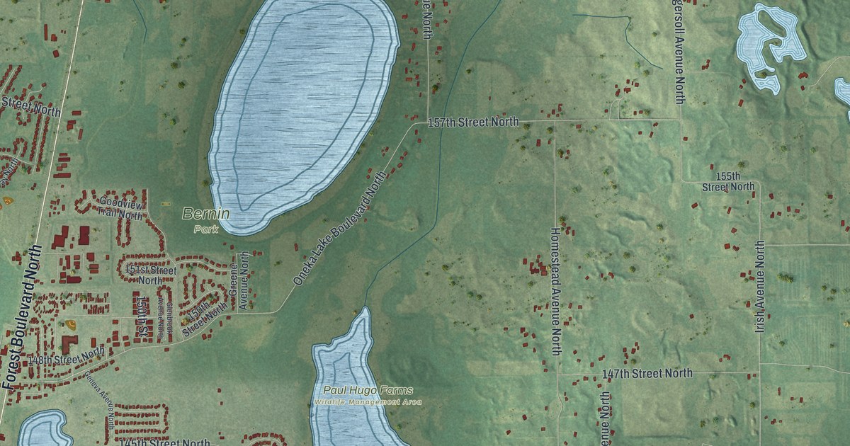
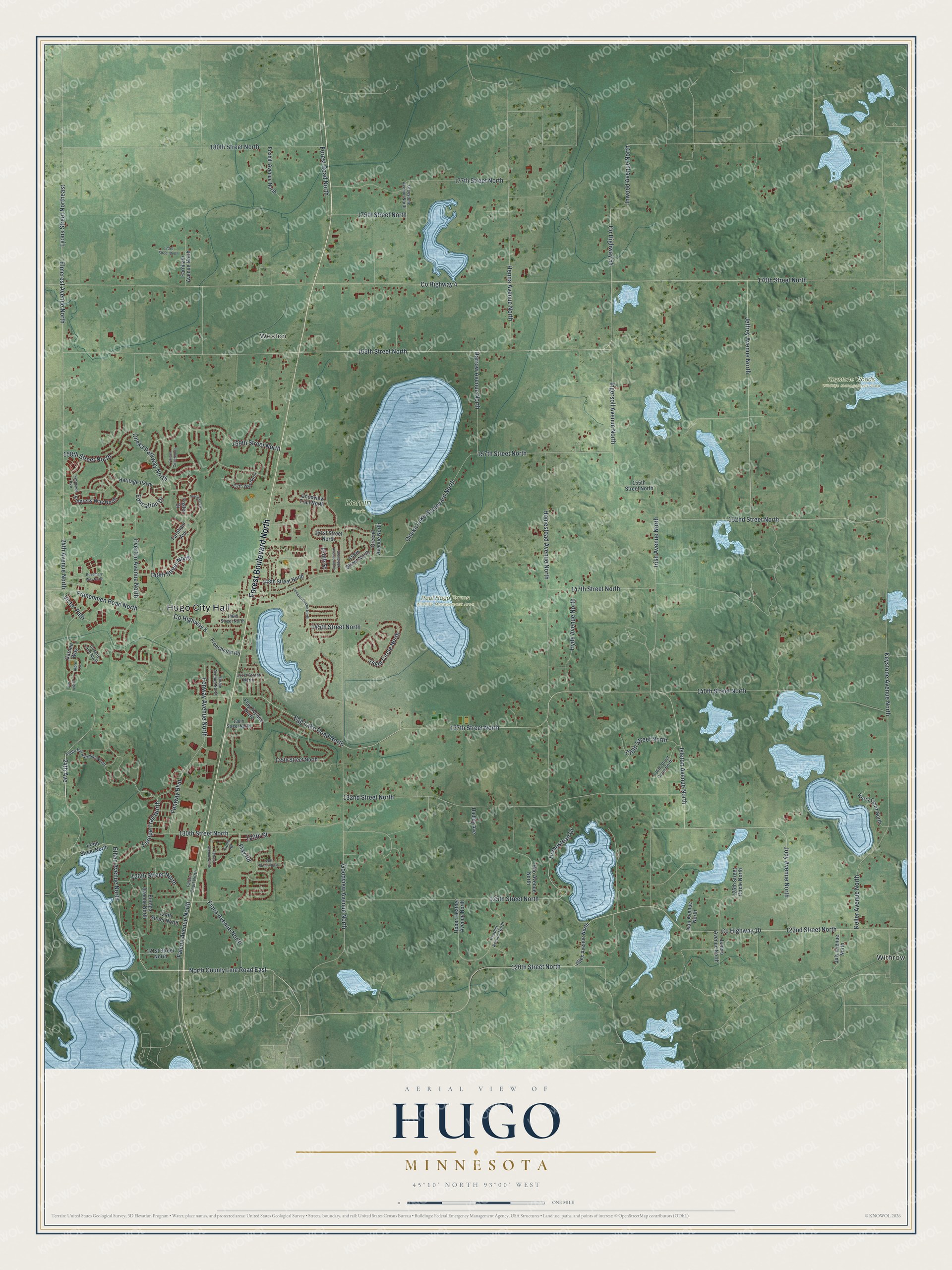
This beautifully detailed map of Hugo, Minnesota was created in 2026 using aerial imagery combined with modern topographical, census, street and landmark data. It’s a one-of-a-kind view of Hugo that combines accurate data with a vintage aesthetic. The map shows every building in its true location, many of the roads carry their names, and the shaded topographic relief shows the shape of the land.
Explore an aerial view of Hugo, Minnesota
On the map you’ll find Hugo City Hall, Weston, Bernin Park, Keystone Woods Wildlife Management Area, Paul Hugo Farms Wildlife Management Area, and Withrow, along with Forest Boulevard North, 120th Street North, North County Line Road East, County Highway 10, Everton Avenue North, 122nd Street North, and more. If you look closely you can even find your house accurately drawn in its correct location. Zoom in on the preview to look for yours.
Did you know this piece of Hugo, Minnesota history?
From the 1920 Minnesota Geographic Names: "Hugo, a village of the St. Paul and Duluth railroad (now a branch of the Northern Pacific system) in Oneka township, was formerly called Centerville, for the adjacent township and village of Anoka county; but was renamed in honor of Trevanion William Hugo, of Duluth."
Take a closer look at the Hugo map
Street and place names on the Hugo, Minnesota map
These names are printed on the map of Hugo, Minnesota.
Places: Hugo City Hall, Weston, Bernin Park, Keystone Woods Wildlife Management Area, Paul Hugo Farms Wildlife Management Area and Withrow.
Streets and roads: Forest Boulevard North, 120th Street North, North County Line Road East, County Highway 10, Everton Avenue North, 122nd Street North, Ethan Avenue North, Elmcrest Avenue North, 24th Avenue, 140th Street North, Jody Avenue North, Keystone Avenue North.
More street names, A to Z
24th Avenue North, 121st Street North, 124th Street North, 125th Street Circle North, 125th Street North, 126th Street North, 128th Street North, 129th Street, 129th Street North, 130th Street North, 132nd Street North, 135th Street North, 136th Street Court North, 136th Street North, 137th Street North, 138th Street North, 141st Street North, 145th Circle North, 145th Street North, 146th Street North, 147th Street North, 148th Street North, 149th Street North, 150th Street, 150th Street North, 151st Street North, 152nd Street North, 155th Street North, 157th Street North, 157th Way North, 158th Street North, 159th Street North, 165th Street North, 170th Street North, 173rd Street North, 175th Street North, 177th Street North, 180th Street North, Arbre Lane, Cosette Lane North, County Highway 4, County Highway 8, County Highway 54, Education Drive, Egg Lake Road North, Empress Avenue, Empress Way North, Europa Avenue North, Europa Trail North, Fable Hill Parkway North, Falcon Avenue North, Falcon Circle North, Falcon Court North, Farnham Avenue, Farnham Avenue North, Fenway Avenue North, Fenway Boulevard, Ferrara Avenue North, Finale Avenue North, Fiona Avenue North, Fiona Road, Flay Avenue North, Flay Road, Forest Road North, Foster Drive, Foxhill Avenue North, Freedom Drive, Frenchman Road, Frenchmen Road North, Garden Way, Geneva Avenue North, Glenbrook Avenue North, Goodview Avenue North, Goodview Trail North, Greene Avenue North, Greystone Avenue North, Hadley Avenue, Harrow Avenue North, Heather Avenue North, Henna Avenue North, Heritage Parkway, Hilo Avenue North, Homestead Avenue North, Homestead Drive, Hyde Avenue North, Illies Avenue North, Ingersoll Avenue North, Inwood Avenue North, Irish Avenue North, Isleton Avenue North, Ivan Avenue North, Janero Avenue North, Jardin Avenue, Jeffrey Avenue North, July Avenue North, Keller Avenue North, Kerry Court North, Lyons Street Northeast, Oneka Lake Boulevard North, Oneka Parkway North, Rosemary Way North, Upper Heather Avenue North, Victor Path.
See the Hugo, Minnesota map on a wall
The Hugo map as an 18 x 24 inch print in a black frame.

This beautifully detailed map of Hugo makes an attractive addition to your office, library, or den, and it can even be used to teach children the geography and history of the area. It also makes a great gift for someone who left Hugo and still calls it home. When you’re done exploring, click here to get your copy of the Hugo map.