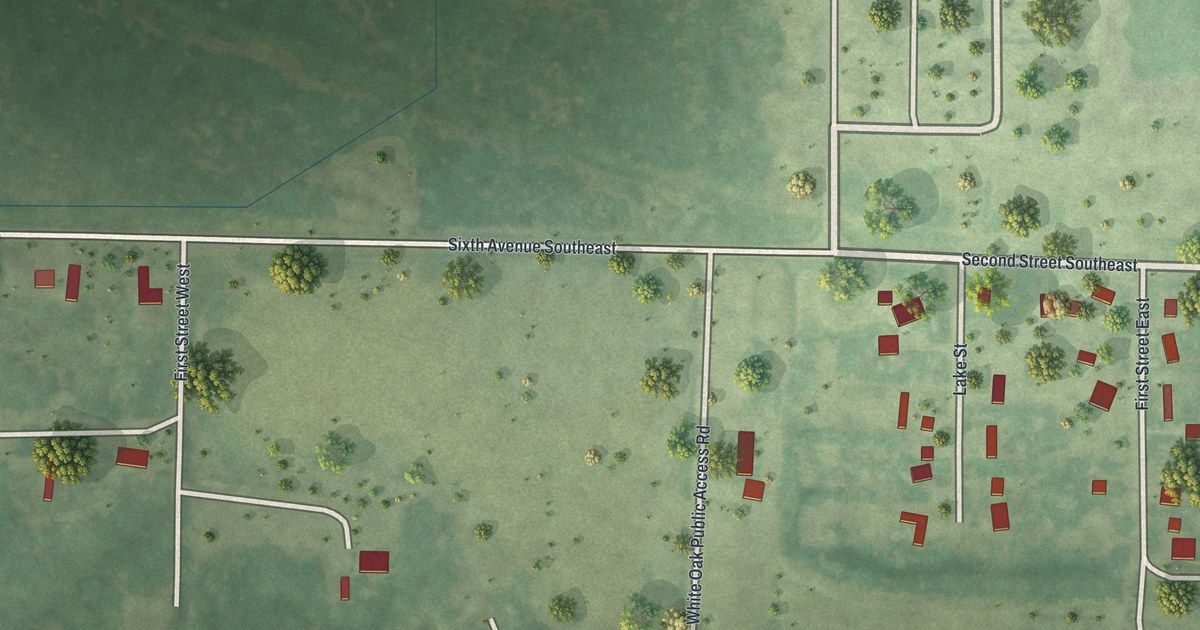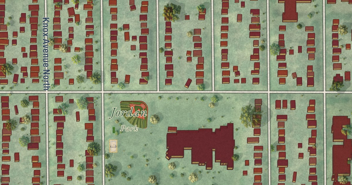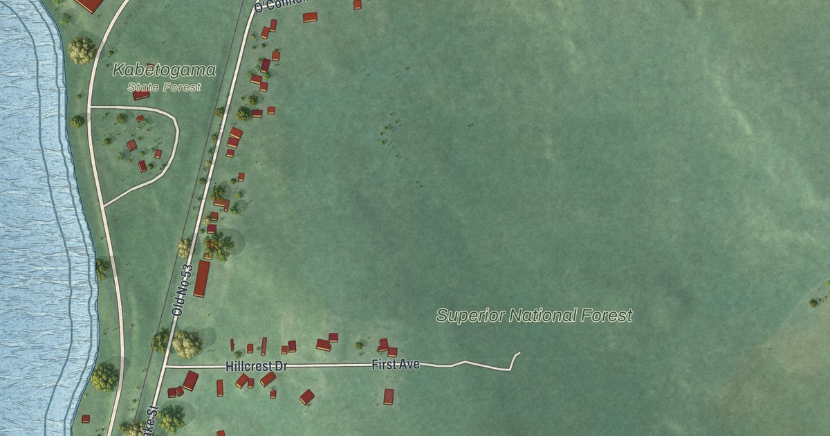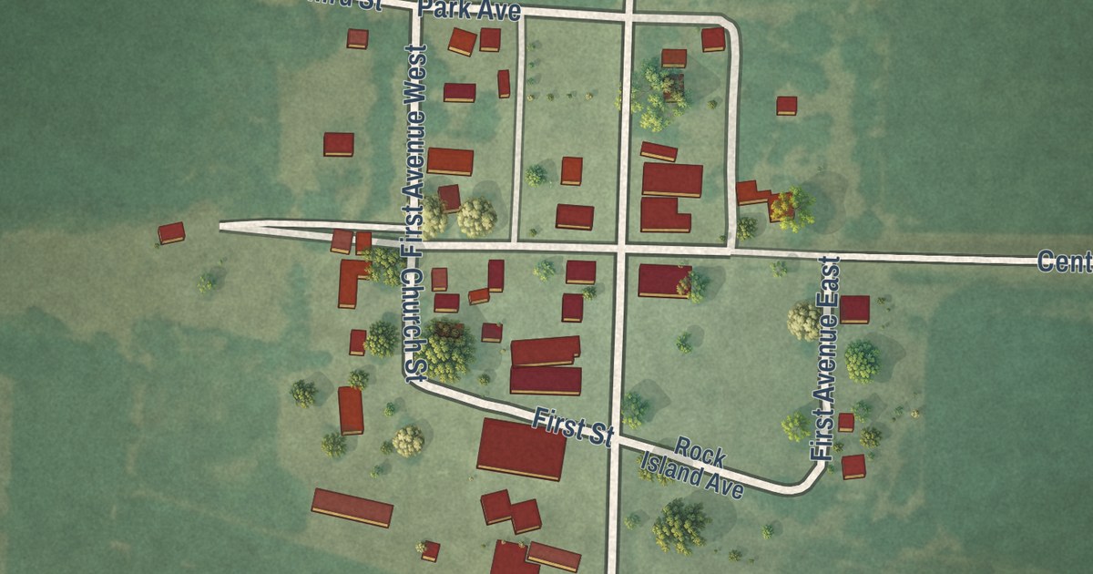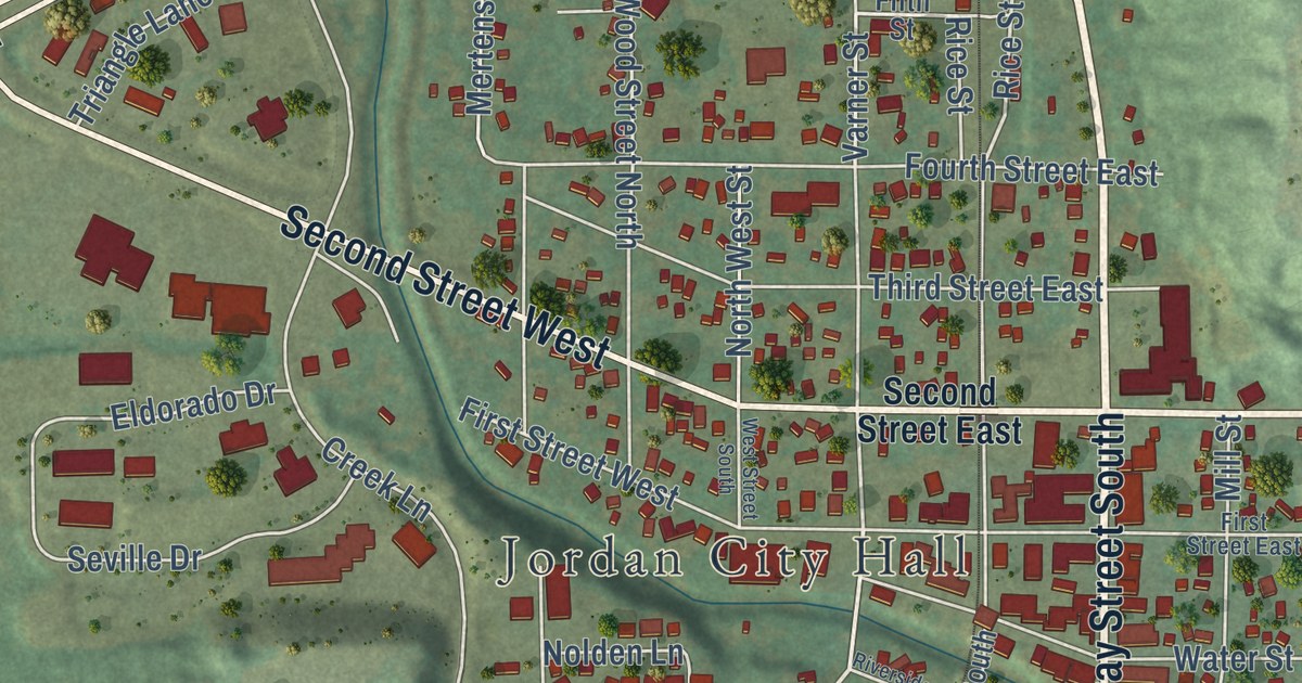
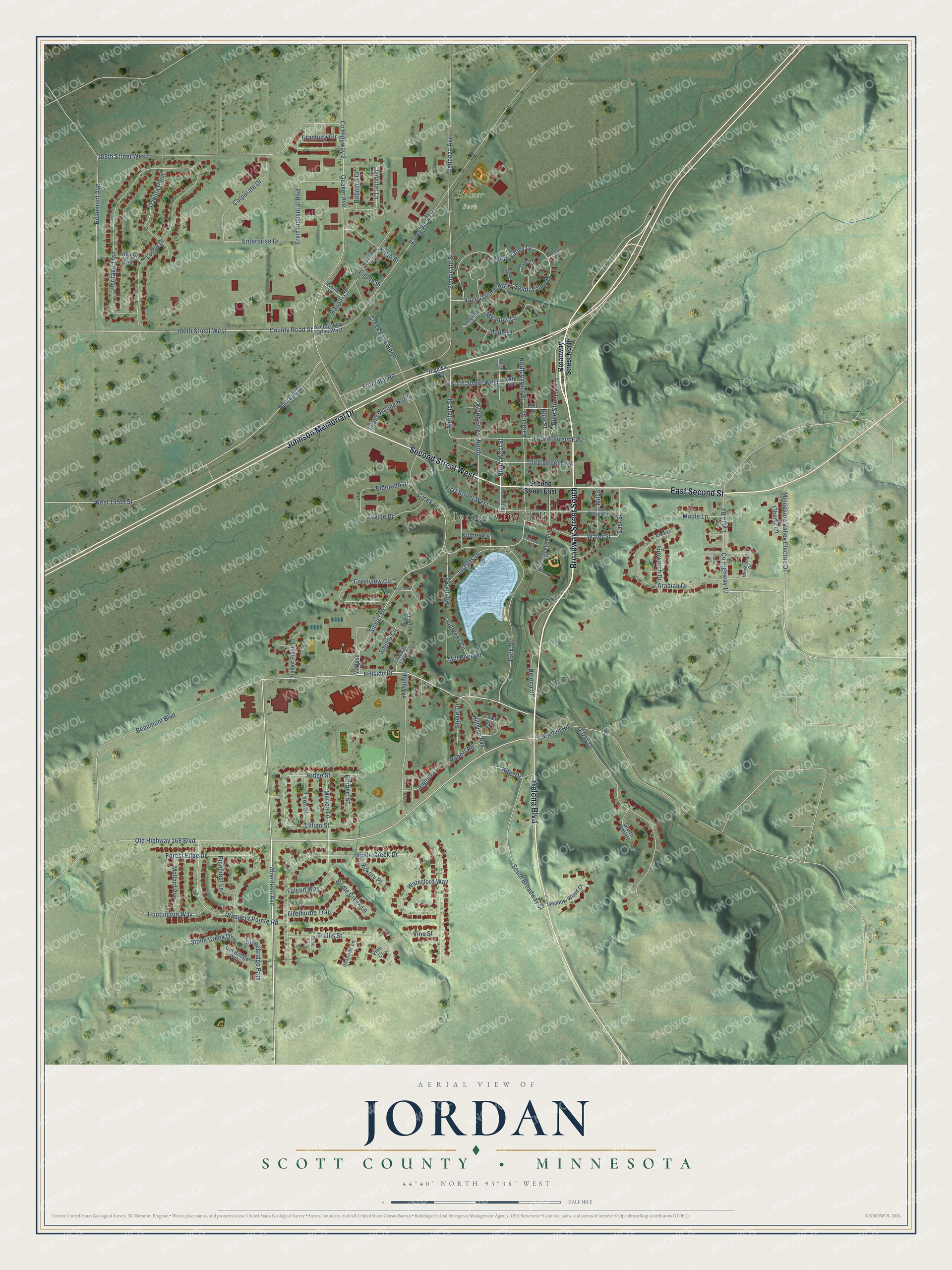
This beautifully detailed map of Jordan, Minnesota was created in 2026 using aerial imagery combined with modern topographical, census, street and landmark data. It’s a one-of-a-kind view of Jordan that combines accurate data with a vintage aesthetic. The map shows every building in its true location, many of the roads carry their names, and the shaded topographic relief shows the shape of the land.
Explore an aerial view of Jordan, Minnesota
On the map you’ll find Jordan City Hall, Holzer Park, and Grassman Park, along with Broadway Street South, Broadway Street North, East Second Street, Second Street West, Johnson Memorial Drive, Helena Boulevard, Aberdeen Avenue, Hillside Drive, Sunset Drive, and more. If you look closely you can even find your house accurately drawn in its correct location. Zoom in on the preview to look for yours.
Did you know this piece of Jordan, Minnesota history?
Jordan took its name from the Biblical river. In 1938 most of its people were of German descent. The town then owned and ran its own saloon. That saloon earned enough profit that residents paid no local real-estate taxes. That’s from the 1938 WPA guide to Minnesota.
Take a closer look at the Jordan map
Street and place names on the Jordan, Minnesota map
These names are printed on the map of Jordan, Minnesota.
Places: Jordan City Hall, Holzer Park and Valley Green Park.
Streets and roads: Broadway Street South, East Second Street, Second Street West, Johnson Memorial Drive, Helena Boulevard, Aberdeen Avenue, Hillside Drive, Sunset Drive, Lydia Road, East Street, Rice Street North, Ridge Street.
More street names, A to Z
185th Street West, 190th Street West, Arabian Court, Arabian Drive, Augusta Court, Beaumont Avenue, Beaumont Boulevard, Bradbury Circle, Bridle Creek Drive, Bridle Creek Lane, Broadway Street North, Cedar Lane Circle, Cedar Lane Drive, Chad Circle, Clover Court, Corporate Drive, County Highway 9, County Highway 10, County Road Street, Creek Lane, Creek Lane North, Crestview Circle, Dakota Point, Eighth Street, Eischens Lane, Eldorado Drive, Enterprise Drive, Ervin Industrial Boulevard, Evergreen Lane, Falcon Way, Fifth Street, Firethorne Trail, Firewatch Drive, First Street East, First Street West, Forest Edge Drive, Fourth Street East, Foxboro Way, Frontage Road, Green Ash Court, Helena Street, Herbert Street, Heritage Trail, Hickory Place, Highway 169, Hillside Avenue, Homestead Drive, Hooper Court, Hooper Street, Hope Avenue, Huntington Way, Jasmine Lane, Jennifer Lane, Juergens Circle, Jurgens Drive, Kipp Drive, Leon Street, Liberty Lane, Lillian Street, Lincoln Place, Lodge Drive, Mallard Avenue, Maple Drive, Maple Lane, Marion Lane, Marlane Circle, Meadow Lane, Meadow Wood Court, Mendoza Avenue, Mertens Street, Mill Pond Drive, Mill Street, Minnesota Valley Electric Drive, Ninth Street, Nolden Lane, North Valley Drive, North Varner Street, North West Street, O'Day Drive, Oak Circle, Old Bridge Way, Old Highway 169 Boulevard, Park Drive, Pinehurst Lane, Prospect Pointe Road, Quaker Avenue, Railroad Drive, Rebecca Drive, Rice Street, Rice Street South, Riverside Lane, Robert Road, Rose Court, Rustle Road, Sawmill Road, Scott Lane Drive, Second Street East, Seventh Street, Seville Drive, Sixth Street, Sixth Street West, South Broadway Street, South Valley Drive, Spruce Circle, Stonebridge Path, Stone Creek Drive, Stuart Drive, Syndicate Street, Third Street East, Timber Ridge Court, Trellis Street, Triangle Lane North, Valley View Drive, Valley View Drive West, Varner Street, Vine Court, Vine Street, Waterford Way, Water Street, West 195th Street, West Street, West Street South, Wood Street North.
See the Jordan, Minnesota map on a wall
The Jordan map as an 18 x 24 inch print in a black frame.

This beautifully detailed map of Jordan makes an attractive addition to your office, library, or den, and it can even be used to teach children the geography and history of the area. It also makes a great gift for anyone who grew up in Jordan or moved away. When you’re done exploring, click here to get your copy of the Jordan map.