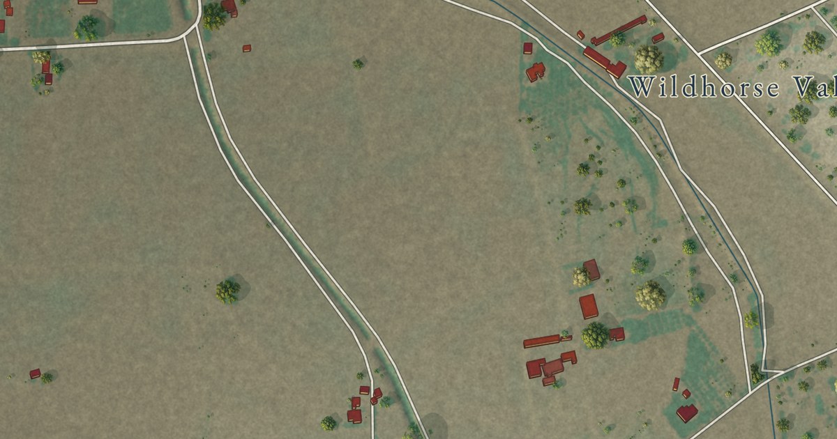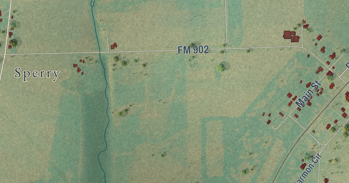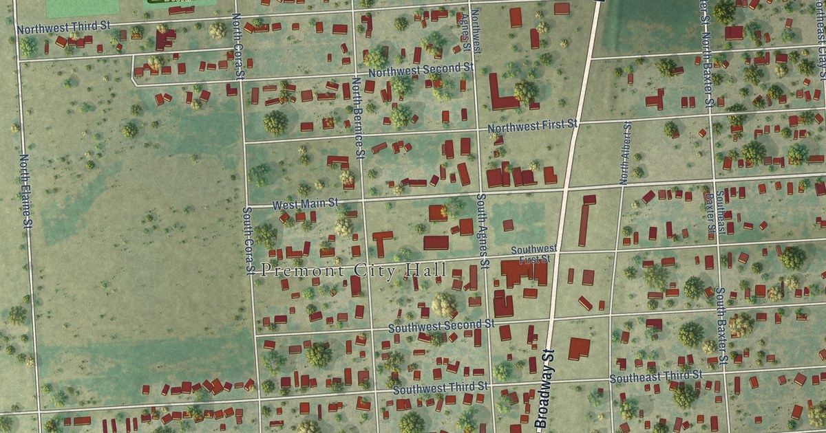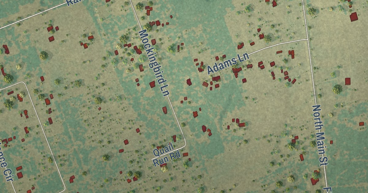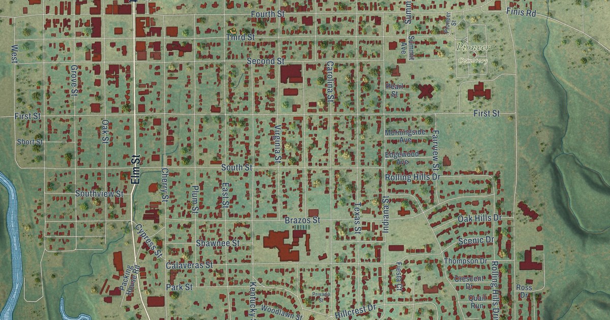
This beautifully detailed map of Graham, Texas was created in 2026 using aerial imagery combined with modern topographical, census, street and landmark data. It’s a one-of-a-kind view of Graham that combines accurate data with a vintage aesthetic. The map shows every building in its true location, many of the roads carry their names, and the shaded topographic relief shows the shape of the land.
Explore an aerial view of Graham, Texas
On the map you’ll find Twin Mountains, Firemens Park, Oak Grove Cemetery, Pioneer Cemetery, Dresser, and Medura, along with Loving Highway, Seventh Street, 380 Bypass, Elm Street, Breckenridge Highway, Allison Street, and more. If you look closely you can even find your house accurately drawn in its correct location. Zoom in on the preview to look for yours.
Did you know this about Graham, Texas?
From the Handbook of Texas: "The Wilsons, the first family to settle after the arrival of the Graham brothers, started the first store, and the Grahams promoted the sale of lots near the north line of the former Brazos Indian Reservation."
Take a closer look at the Graham map
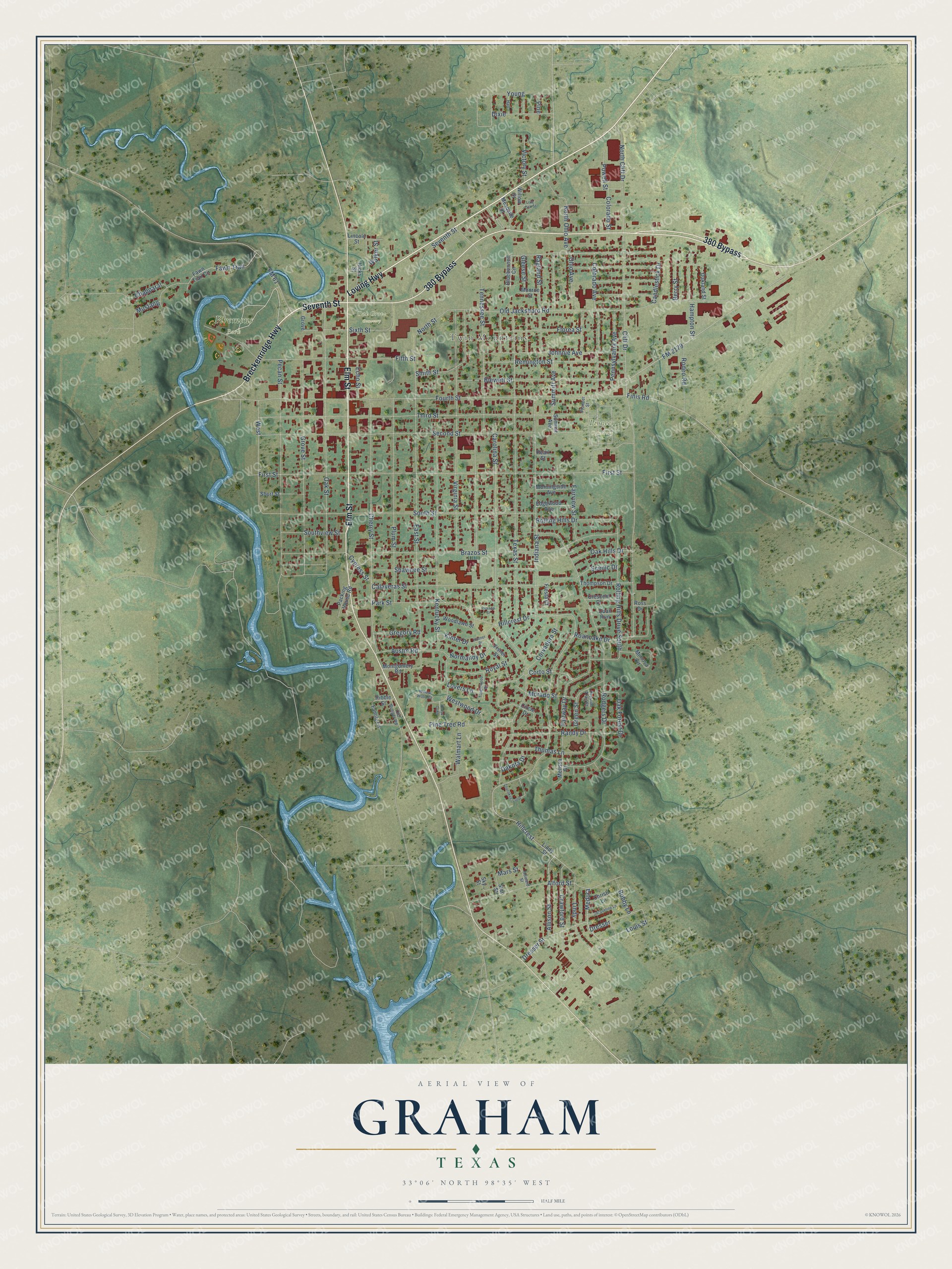
Street and place names on the Graham, Texas map
These names are printed on the map of Graham, Texas.
Places: Twin Mountains, Firemens Park, Oak Grove Cemetery and Pioneer Cemetery.
Streets and roads: Loving Highway, Seventh Street, 380 Bypass, Elm Street, Breckenridge Highway, Allison Street, Dresser, Medura, Hillcrest, Hillcrest Drive, Sixth Street, Fourth Street.
More street names, A to Z
Alford Street, Austin Road, Berry Street, Blewett Street, Bluebonnett Circle, Bobby Lane, Brazos Street, Calaveras Street, Candlestick Drive, Carolina Street, Chapparal, Cherokee Loop, Cherry Street, Christi Lane, Circle Drive, Cliff Drive, Colorado Avenue, Colorado Street, Corto Street, Corvadura Street, Crawford Street, Crescent Drive, Cross Oaks, Cypress Street, Dakota Drive, Dixie, Dresser Street, East Street, Echo Street, Edgewood Avenue, Fairview Street, Fairway Drive, Family Lane, Fawn Trail, Fawn Trail Circle, Fiesta Court, Fifth Street, Finis Road, First Street, Fisher Street, Florea Street, FM 61, FM 2179, Gleese Street, Green Street, Gregory Road, Grove, Grove Street, Hall, Hampton Street, Hicks Street, Howard Street, Indiana Street, Jacqueline Lane, Johnnie Avenue, Kentucky Street, Kinter Drive, Kintner Drive, Lincoln Street, Lindy, Lindy Street, Live Oak Street, Louis Street, Lovers Lane, Mars Street, Melissa Drive, Mesquite Street, Mimosa Circle, Monroe Street, Montgomery Road, Morado Street, Morningside Avenue, Mustang, Normandy Drive, North Cliff Drive, North Ohio Avenue, North Street, Oak Forest Drive, Oak Hills Drive, Oakland Street, Oak Street, Ohio Avenue, Old Bunger Road, Old Jacksboro Road, Packing House Road, Park Street, Pearl Street, Pecan Street, Pennsylvania Avenue, Pine, Pine Tree Road, Pioneer Street, Plum Street, Powell Street, Preston Trail Court, Privado Street, Quail Run, Ragland Street, Randy Drive, Remington Street, Ribble Street, Roanoake Drive, Rodeo Road, Rodgers Drive, Rolling Hills Drive, Rolling Hills Drive South, Ross Drive, Royal Street, Scenic Drive, Second Street, Shawnee Street, Short Street, Sky Street, Smith Street, South Street, Southview Street, Star Street, Summit Avenue, Summitt Avenue, Tanglewood Drive, Tennessee Street, Texas Street, Third Street, Thomas Lane, Thompson Drive, Victory Street, Virginia Street, Walker Street, Walmart Lane, West, Westwood Drive, Willow Street, Willow Wood Court, Woodlawn Street, Young.
See the Graham, Texas map on a wall
The Graham map as an 18 x 24 inch print in a black frame.

This beautifully detailed map of Graham makes an attractive addition to your office, library, or den, and it can even be used to teach children the geography and history of the area. It also makes a great gift for anyone who grew up in Graham or moved away. When you’re done exploring, click here to get your copy of the Graham map.