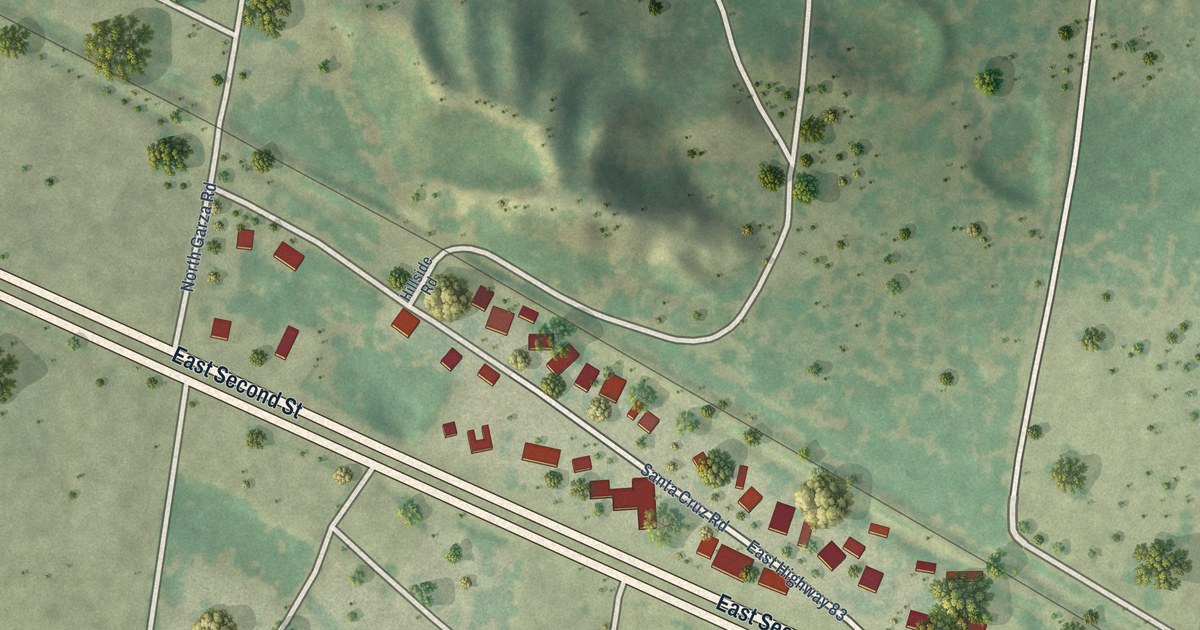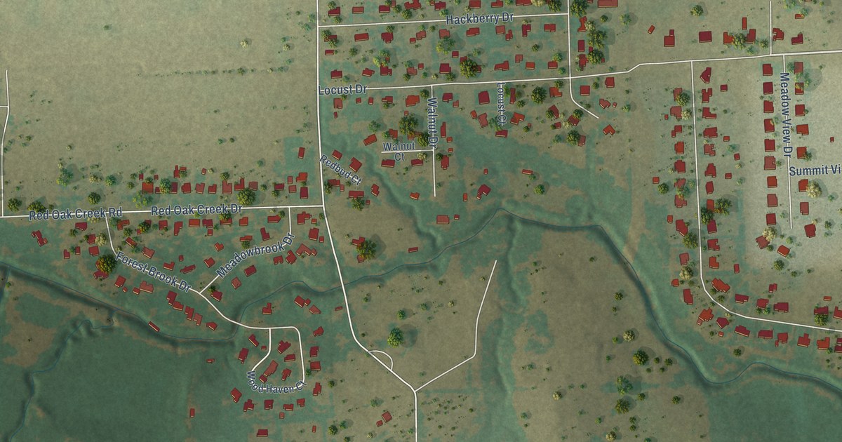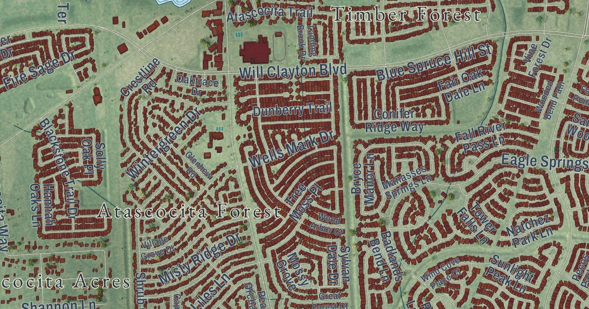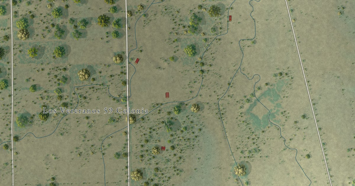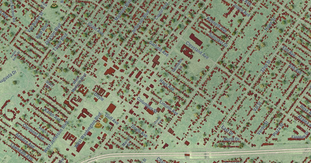
This beautifully detailed map of Groves, Texas was created in 2026 using aerial imagery combined with modern topographical, census, street and landmark data. It’s a one-of-a-kind view of Groves that combines accurate data with a vintage aesthetic. The map shows every building in its true location, many of the roads carry their names, and the shaded topographic relief shows the shape of the land.
Explore an aerial view of Groves, Texas
On the map you’ll find Twin City Highway, 32nd Street, 39th Street, Main Avenue, 25th Street, Cleveland Avenue, Taft Avenue, Terrell Street, FM 366, Pure Atlantic Road, Atlantic Road, Howe Street, and more. If you look closely you can even find your house accurately drawn in its correct location. Zoom in on the preview to look for yours.
Did you know this piece of Groves, Texas history?
From the Handbook of Texas: "After failed efforts in 1950 and 1951, Groves incorporated in 1952 by a 1,079 to 262 vote."
Take a closer look at the Groves map
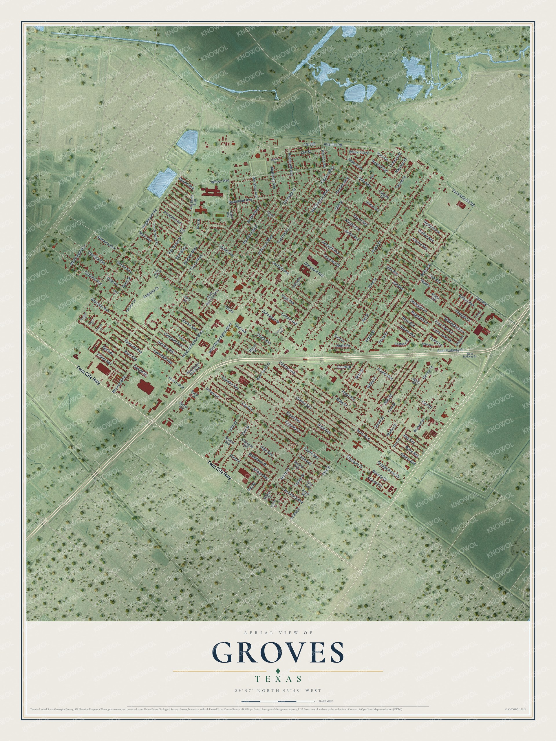
Street names on the Groves, Texas map
These names are printed on the map of Groves, Texas.
Streets and roads: Twin City Highway, 32nd Street, 39th Street, Main Avenue, 25th Street, Cleveland Avenue, Taft Avenue, Terrell Street, FM 366, Pure Atlantic Road, Atlantic Road, Howe Street.
More street names, A to Z
33rd Street, 34th Street, Adams Boulevard, Alabama Avenue, Allison Avenue, Amber Avenue, Anselmo Avenue, Ash Avenue, Augusta Drive, Azalea Avenue, Baird Street, Bay Street, Beaumont Avenue, Bellaire Avenue, Berry Avenue, Beverly Drive, Boyd Avenue, Brigitte Court, Bryan Avenue, Cambria Lane, Canal Avenue, Capital Boulevard, Capitol Boulevard, Carolina Avenue, Center Street, Charles Avenue, Cherry Avenue, Clermont Avenue, Clinton, Columbus Street, Cooley Avenue, Coolidge Street, Cove Drive, Craig Avenue, Crescent Drive, Curt Drive, Dave Street, David Street, Debbie Avenue, Delilah Court, Doyle, Doyle Avenue, Dunn Avenue, Eastdale Drive, East Drive, East Parkway Street, Elm Avenue, Eugenia Lane, First Avenue, Foster Avenue, Fourth Avenue, Frances Court, Franklin Avenue, Friar Tuck Lane, Garfield Avenue, Garner Street, Georgia Avenue, Gilbert Avenue, Glazer Avenue, Gonzales Lane, Grant Avenue, Graves Avenue, Green Avenue, Griffing Court, Griffing Drive, Groves Avenue, Gulf Avenue, Hansen Boulevard, Harrison Avenue, Harrison Boulevard, Hayman Street, Hays Avenue, Henry, Hickory Avenue, High Avenue, Hogaboom Road, Inwood Drive, Jackson Boulevard, Jefferson Boulevard, Joplin Avenue, Karen Avenue, Kelly Lane, Kenneth Avenue, Kent Avenue, Kinard Avenue, Kleespies Avenue, Lackey Drive, Lana Lane, Lawndale Avenue, Lay Avenue, Lee Street, Leonard Street, Lincoln Avenue, Little John Lane, Madison Boulevard, Magnolia Lane, Maple, Marion Avenue, Martha Lane, Martin Street, Marty Street, McKinley Avenue, Milo Avenue, Mire Street, Mockingbird Lane, Monroe Boulevard, Montrose Avenue, Newton Avenue, North Drive, North Link Street, North Street, Nottingham Lane, Oak Avenue, Oakdale Drive, Oleander Lane, Orange Acres Drive, Owens Avenue, Park Avenue, Pearl Avenue, Pebble Beach Drive, Perry Avenue, Pinetop Road, Plaza Street, Port Neches Road, Postoak Lane, Ray Avenue, Reagan Lane, Real Boulevard, Real Street, Redwood Drive, Roosevelt Avenue, Rose Avenue, Royal Avenue, Ruby Drive, Russell Avenue, Ryann Lane, Second Avenue, Sherwood Lane, Simpson Avenue, Smith Street, Sonnier Lane, South Drive, South Link, Staci Lane, Stuart Avenue, Sue Avenue, Suncrest Drive, Sunken Court, Taylor Avenue, Taylor Boulevard, Third Avenue, Val Street, Van Buren Boulevard, Van Buren Street, Verde Street, Vincent Drive, Walnut Avenue, Warren Street, Washington Boulevard, West Grove Circle Drive, West Jefferson Boulevard, West Madison Boulevard, West Parkway Street, West Terrell Street, West Washington Boulevard, Whitaker Avenue, Willis Street, Willow Oak Street, Willow Street, Wilson Avenue, Woodlawn Drive.
See the Groves, Texas map on a wall
The Groves map as an 18 x 24 inch print in a black frame.

This beautifully detailed map of Groves makes an attractive addition to your office, library, or den, and it can even be used to teach children the geography and history of the area. It also makes a great gift for someone who left Groves and still calls it home. When you’re done exploring, click here to get your copy of the Groves map.