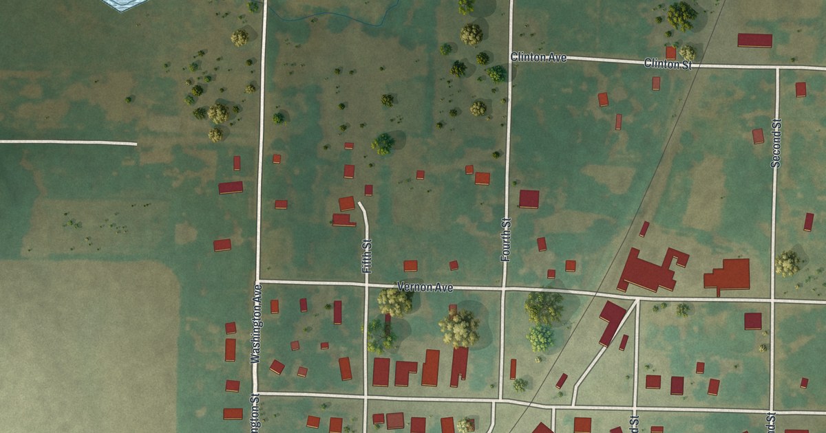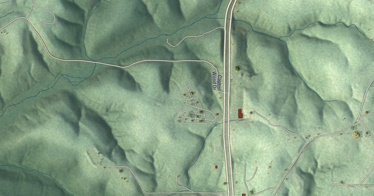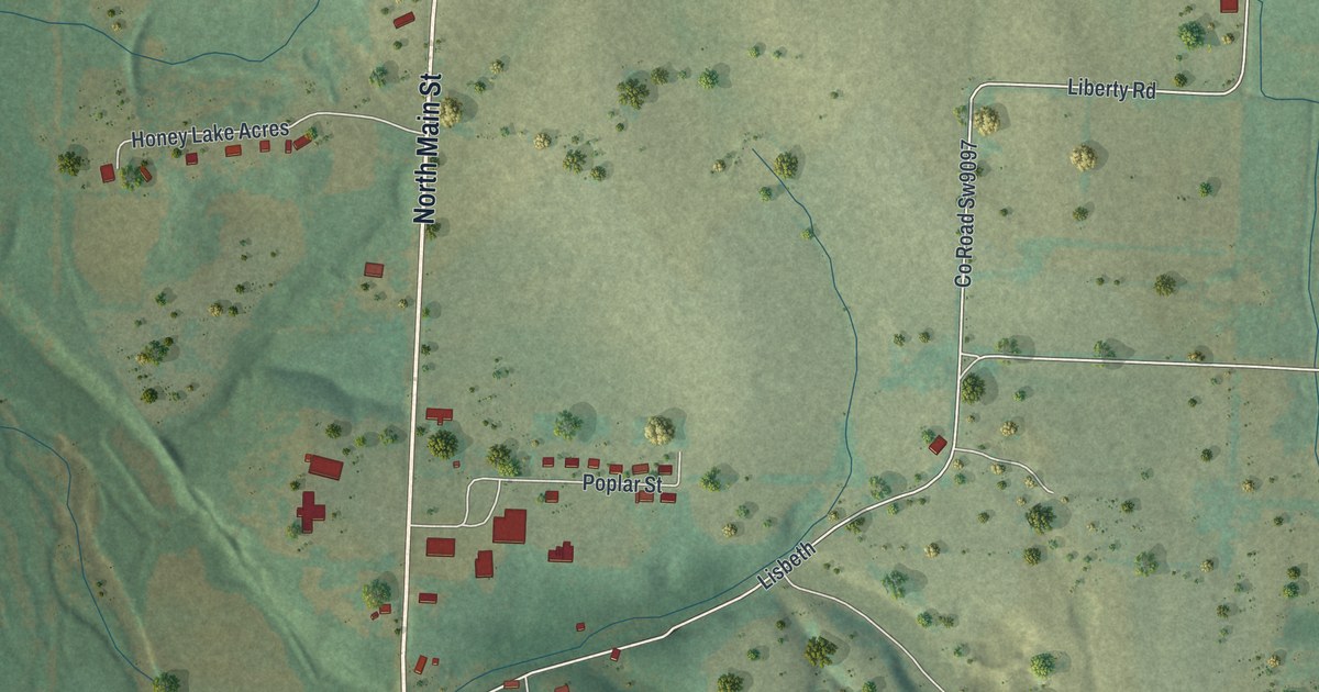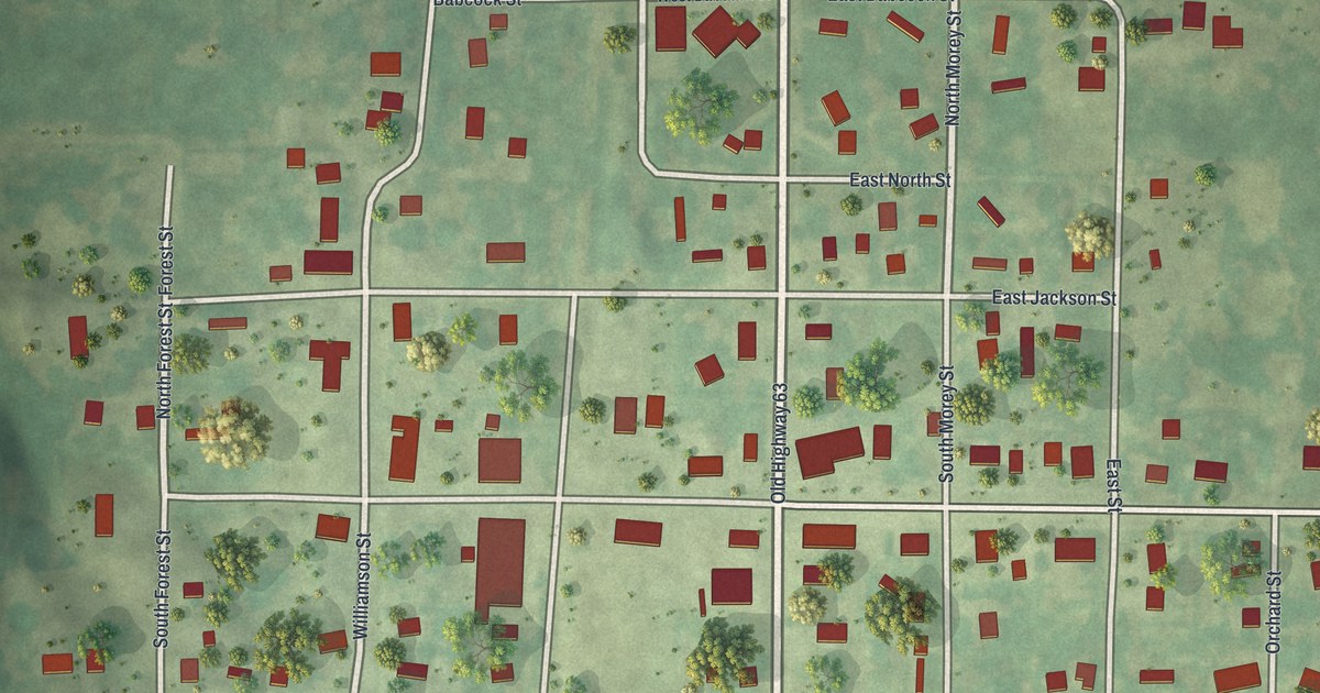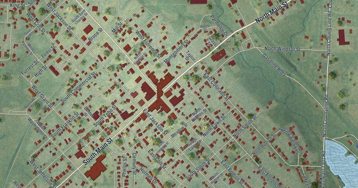
If you grew up in Windsor, look for your old block on this print. It's a modern aerial view of Windsor in Henry County, Missouri, made with modern data and a vintage feel. Red buildings fill the street grid, with green fields around town. A blue lake stands out beside the homes.
North Main Street and Windsor's early story
On this map you'll find North Main Street, South Main Street, West Benton Street, East Jackson Street, West Jackson Street, South Commercial Street, Moniteau Street, Lake Shore Drive, South Tebo Street, Elm Branch Road, and more. Each red shape is a building, so zoom in on the preview and look for yours.
Windsor's early story includes Henry County's first blacksmith. The 1919 History of Henry County, Missouri names him as Thomas Anderson. It says he settled near the present town of Windsor, in what became Windsor Township. The 1883 history of Henry County adds that Stevenson taught a school in Windsor Township in the fall of 1833, in an old log cabin on Tebo Branch, about two and a half miles south of Windsor.
Windsor's lake, Main Street and green fields
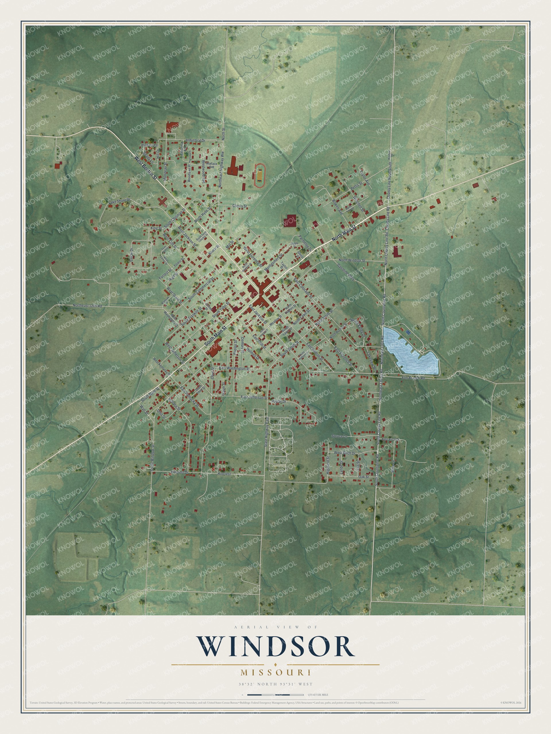
Created by KNOWOL in 2026, this print pairs soft green land with red buildings, pale roads and blue water. A cream border surrounds the view. The title panel reads AERIAL VIEW OF, WINDSOR, MISSOURI, with 38°32' NORTH 93°31' WEST below.
Hang it in a living room, office or entryway. It's a gift for someone who grew up near South Main Street and now lives far from home. Open the preview to look for a familiar block and see the whole town view. See sizes and frames for the Windsor map.