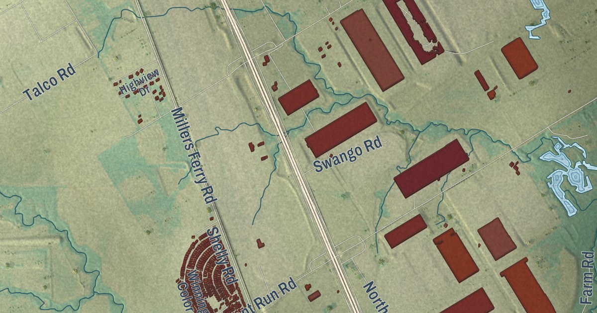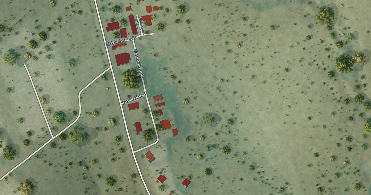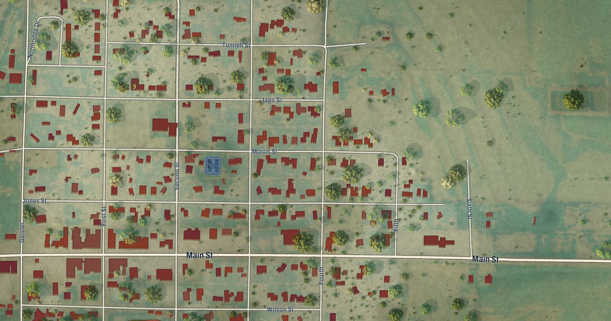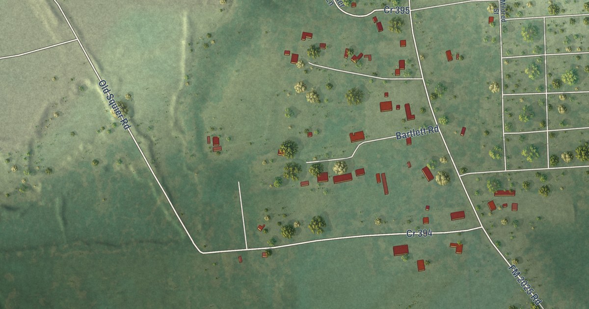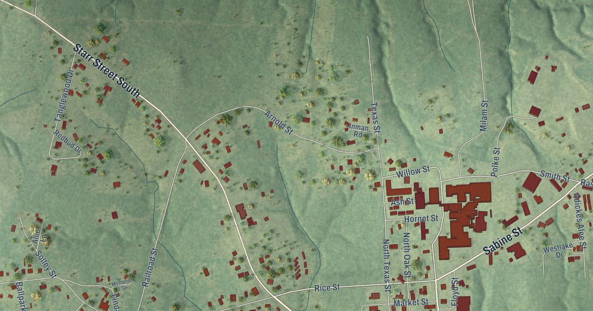
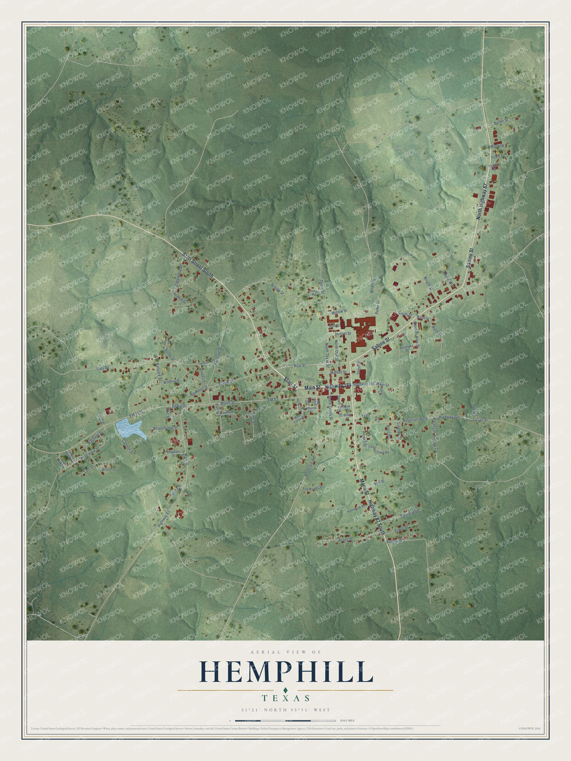
This beautifully detailed map of Hemphill, Texas was created in 2026 using aerial imagery combined with modern topographical, census, street and landmark data. It’s a one-of-a-kind view of Hemphill that combines accurate data with a vintage aesthetic. The map shows every building in its true location, many of the roads carry their names, and the shaded topographic relief shows the shape of the land.
Explore an aerial view of Hemphill, Texas
On the map you’ll find Starr Street, Highway 184, Main Street, Sabine Street, Mann Street, North Highway 87, Starr Street South, Highway 87 South, Milam Street, Rice Street, Smith Street, Willow Street, and more. If you look closely you can even find your house accurately drawn in its correct location. Zoom in on the preview to look for yours.
Did you know this piece of Hemphill, Texas history?
From the Handbook of Texas: "During the 1800s, the main transportation route was the Sabine River, which forms the county's eastern boundary, and for the first half of the 1900s, the main transportation avenue was the Gulf, Beaumont and Great Northern Railway, which was constructed through the southwestern quadrant of the county in 1902."
Take a closer look at the Hemphill map
Street names on the Hemphill, Texas map
These names are printed on the map of Hemphill, Texas.
Streets and roads: Starr Street, Highway 184, Main Street, Sabine Street, Mann Street, North Highway 87, Starr Street South, Highway 87 South, Milam Street, Rice Street, Smith Street, Willow Street.
More street names, A to Z
Adickes Alee Street, Allie Lane, Arney Street, Arnold Street, Ash Street, Ballpark Street, Bank Street, Barber Street, Barlow Street, Bass Street, Beauchamp Street, Beckcom Road, Birch Street, Butler Street, Cannon Street, Cedar Street, Charlie Hamilton Street, Church Street, Edwards, Erwin Street, Fed Woods Street, Felts, Felts Street, Floyd Street, FM 83, FM 1175, FM 2971, Hamilton Street, Hammock Road, Harvey Circle, Harvey Street, Highway 83, Highway 944, Hornet Street, Howell Street, Industrial Street, Inman Road, Ironwood, Italy Road, Keel Street, Kirby Street, Lillian Street, Linda Lane, Lindsey Street, Live Oak Street, London Town Road, Lott Street, Market Street, Mayfield Street, McDaniel Street, Medical Drive, Mill Street, Misty Street, North Oak Street, North Texas Street, Oliphant Street, Palm Street, Parker Boulevard, Payne Street, Pine View Street, Polke Street, Railroad Street, Rash Street, Redbud Drive, Robinson Bend, Rush Street, Short Street, Solley Street, South Oak Street, South Texas Street, Sunset Street, Tanglewood Drive, Texas Street, Tower Street, Tucker Street, Vickie Street, West Fuller Street, Westlake Drive, Williams Street, Wilson Street, Worth Street, Wort Street, Wright Street.
See the Hemphill, Texas map on a wall
The Hemphill map as an 18 x 24 inch print in a black frame.

This beautifully detailed map of Hemphill makes an attractive addition to your office, library, or den, and it can even be used to teach children the geography and history of the area. It also makes a great gift for anyone who grew up in Hemphill or moved away. When you’re done exploring, click here to get your copy of the Hemphill map.