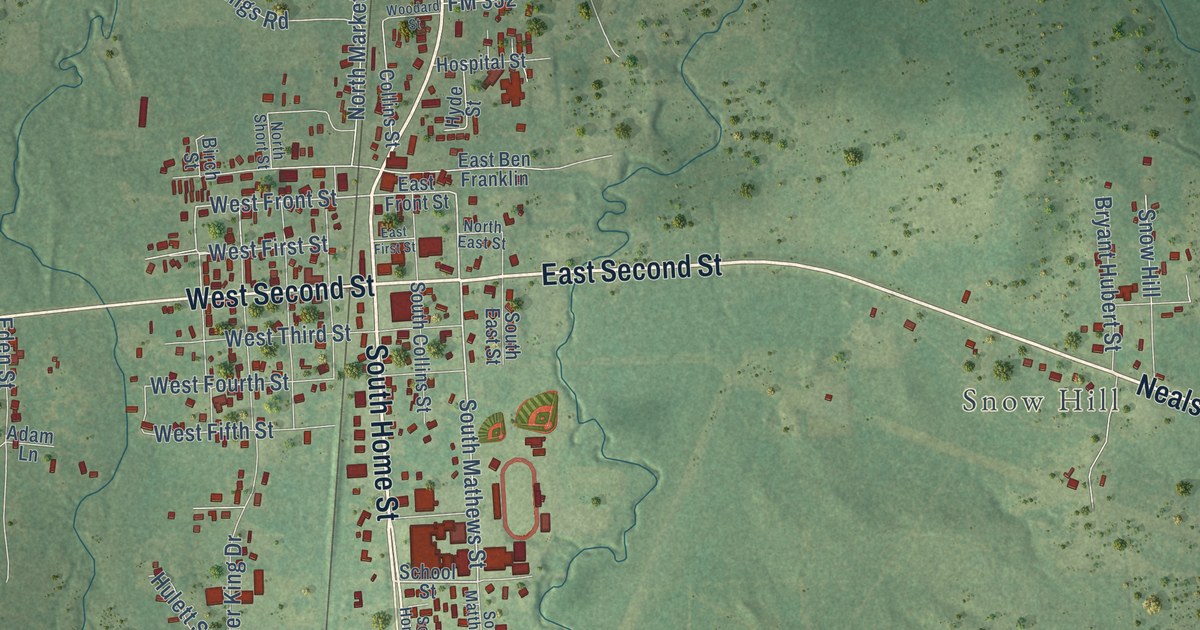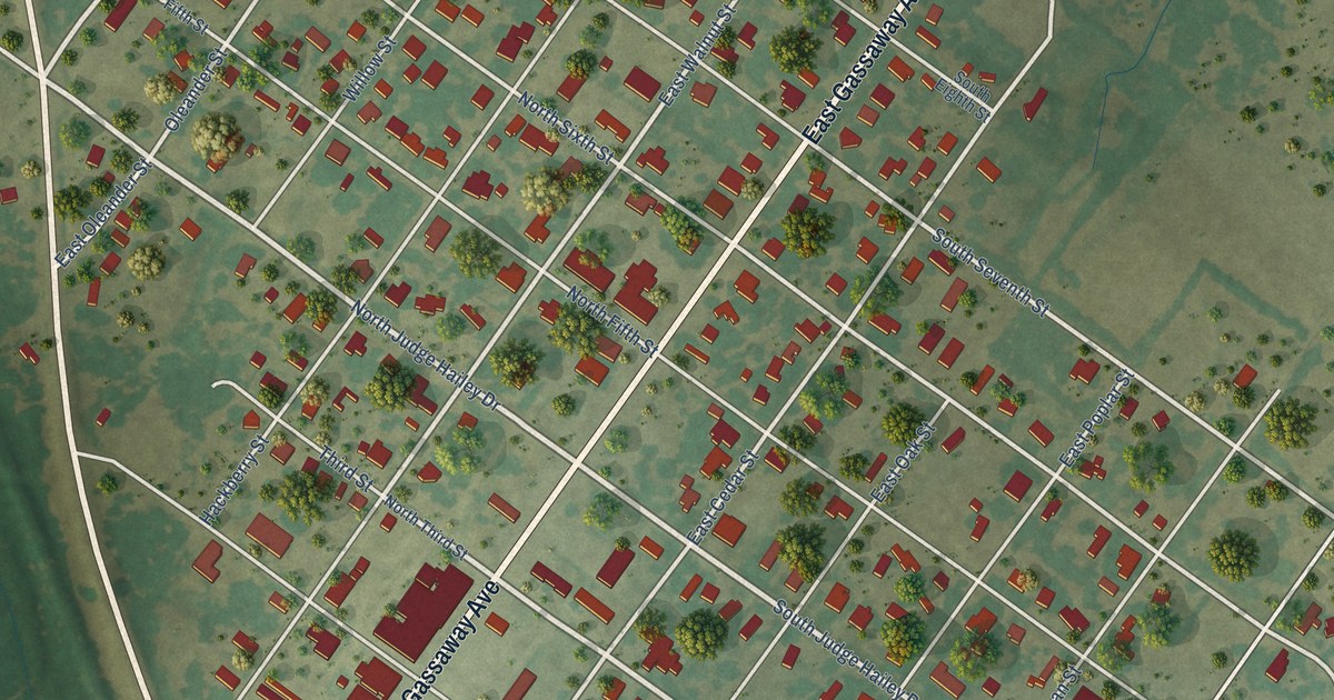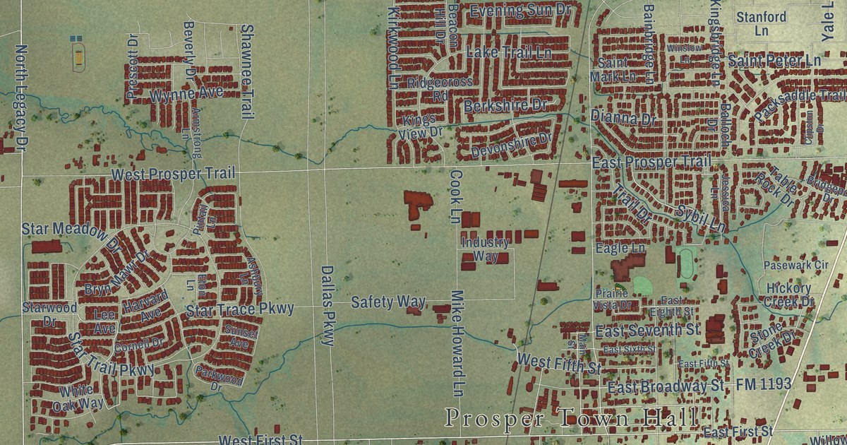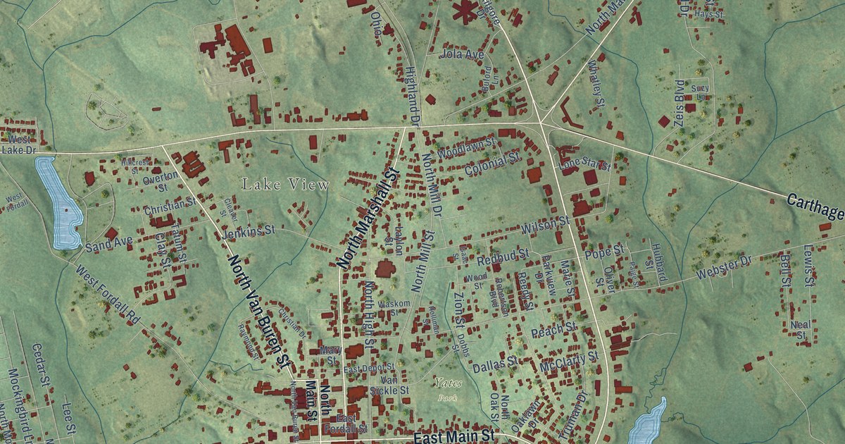
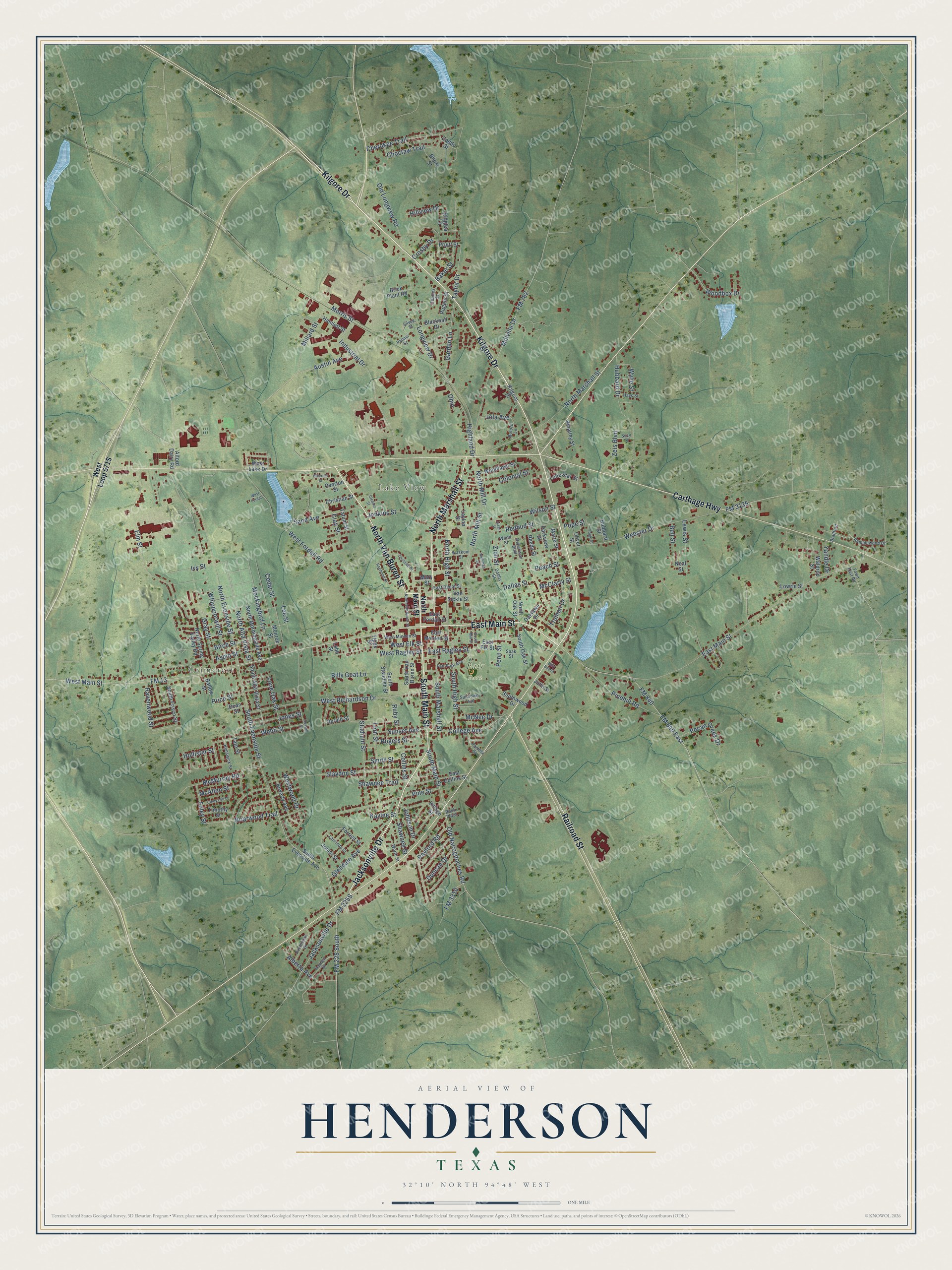
This beautifully detailed map of Henderson, Texas was created in 2026 using aerial imagery combined with modern topographical, census, street and landmark data. It’s a one-of-a-kind view of Henderson that combines accurate data with a vintage aesthetic. The map shows every building in its true location, many of the roads carry their names, and the shaded topographic relief shows the shape of the land.
Explore an aerial view of Henderson, Texas
On the map you’ll find Crimcrest, Lake View, Fair Park, and Yates Park, along with Kilgore Drive, Jacksonville Drive, North Van Buren Street, East Main Street, South Main Street, North Marshall Street, Railroad Street, Carthage Highway, and more. If you look closely you can even find your house accurately drawn in its correct location. Zoom in on the preview to look for yours.
Did you know this piece of Henderson, Texas history?
From the Handbook of Texas: "The present courthouse was built in 1928 near the town square, where the first courthouse was erected in 1849, destroyed in the 1860 fire, and rebuilt in 1878."
Take a closer look at the Henderson map
Street and place names on the Henderson, Texas map
These names are printed on the map of Henderson, Texas.
Places: Crimcrest, Lake View, Fair Park and Yates Park.
Streets and roads: Kilgore Drive, Jacksonville Drive, North Van Buren Street, East Main Street, South Main Street, North Marshall Street, Railroad Street, Carthage Highway, West Main Street, FM 13, FM 225 South, FM 840.
More street names, A to Z
Alberta Avenue, Alford Dairy Road, Aspin Street, Austin Avenue, Baker Street, Ballow Street, Bell Street, Beverly Avenue, Billy Bob Street, Billy Goat Lane, Biloxi Street, Birch Street, Blacknall Drive, Bradford, Briarwood Trail, Brick Plant Road, Buford Lane, Caddo Street, Cedar Street, Charles Street, Cherokee Trail, Choctaw Trail, Christian Drive, Christian Street, Cindy Lou Lane, Clay Street, Cleaver Street, College Avenue, Collins Street, Colonial Street, Crosby Drive, Dallas Street, Dean Street, Dobbs Street, Duncan Drive, East Collins Street, East Depot Street, East Elk Street, East Fordall Street, East Minden Street, East Ragley Street, Elm Street, Fair Park Avenue, FM 782, FM 840 East, FM 3135, FM 3310, Foley Street, Forrest Street, Garden Lane, Gerald Street, Glendale Avenue, Gray Street, Hamlett Street, Hays Street, Highland Drive, Hillcrest Street, Hillview Drive, Holliman Street, Hollister Street, Hubbard Drive, Hubbard Street, Industrial Drive, Isaac Street, Ivy Street, Jenkins Street, Johnson Drive, Jola Avenue, Jonell Street, Jones Street, Julie Street, Kaylee Street, Kaynell Drive, Kenswick Street, Laurinda Street, Laylon Street, Lee Street, Lewis Street, Lion Street, Lobb Street, Lone Oak Street, Lone Star Street, Longview Drive, Lowrie Street, Marie Street, Mary Street, McAllen Street, McClarty Street, McMurray Road, McNee Drive, Millard Street, Millville Drive, Mockingbird Lane, Monroe Street, Morris Street, Neal Street, North Alta Vista Street, North Evenside Street, North High Street, North Main Street, North Mill Drive, North Mill Street, North Morningside Avenue, North Oak Street, North Spring Valley Road, Oaklawn Drive, Ohio, Old Longview Road, Old Nacogdoches Road, Oliver Street, Overton Street, Paige Street, Palmer Street, Pamela Street, Parkview Drive, Peach Street, Pecan Creek Drive, Penn Street, Pinehill Road, Pine Street, Pope Street, Price Street, Pruitt Street, Ramblewood Drive, Ravenwood Street, Rayford Road, Raymond Street, Redbud Street, Reedy Street, Regent Street, Ridglea Lane, Robertson Boulevard, Rogers Street, Rook Plaza, Ruby Street, Russell Street, Sand Avenue, Shawnee Street, Shawnee Trail, Silvey Street, Slaydon Street, Smith Street, Soak Street, South Alta Vista Street, South Evenside Avenue, South Evenside Street, South Frisco Street, South High Street, South Marshall Street, South Mill Street, South Oak Street, South Standish Street, South Van Buren Street, Southview Drive, Southwood Drive, Stadium Street, Sundown Trail, Sunset Avenue, Suzy Lane, Tate Street, Tatum Street, Taylor Drive, Timothy Street, Tipps Street, Town East Road, Truman Drive, Van Sickle Street, Village Street, Waldrop Street, Waskom Street, Webb Street, Webster Drive, West Elk Street, West Fordall, West Fordall Road, West Lake Drive, West Minden Street, West Ragley Street, West Richardson Drive, Westwood Drive, Whatley Street, Whippoorwill Street, Wilson Street, Woodbox Drive, Woodlawn Street, Wood Street, Worth Street, Wylie Street, Yandle Drive, Zeis Boulevard, Zion Street.
See the Henderson, Texas map on a wall
The Henderson map as an 18 x 24 inch print in a black frame.

This beautifully detailed map of Henderson makes an attractive addition to your office, library, or den, and it can even be used to teach children the geography and history of the area. It also makes a great gift for someone who left Henderson and still calls it home. When you’re done exploring, click here to get your copy of the Henderson map.