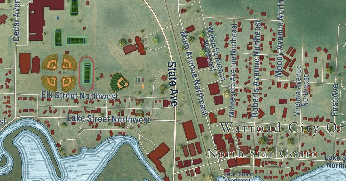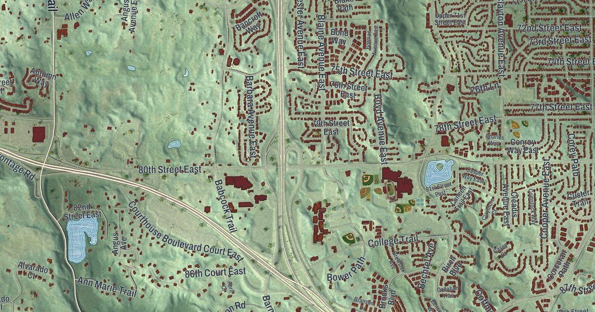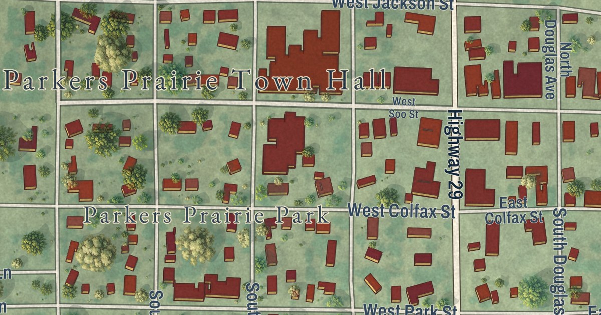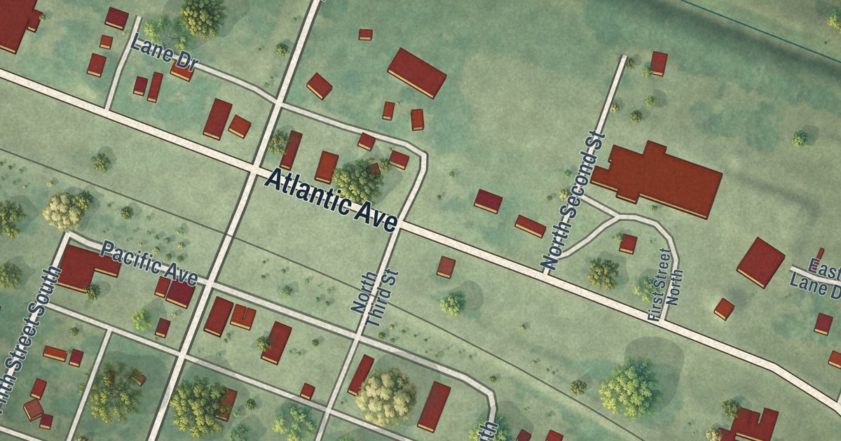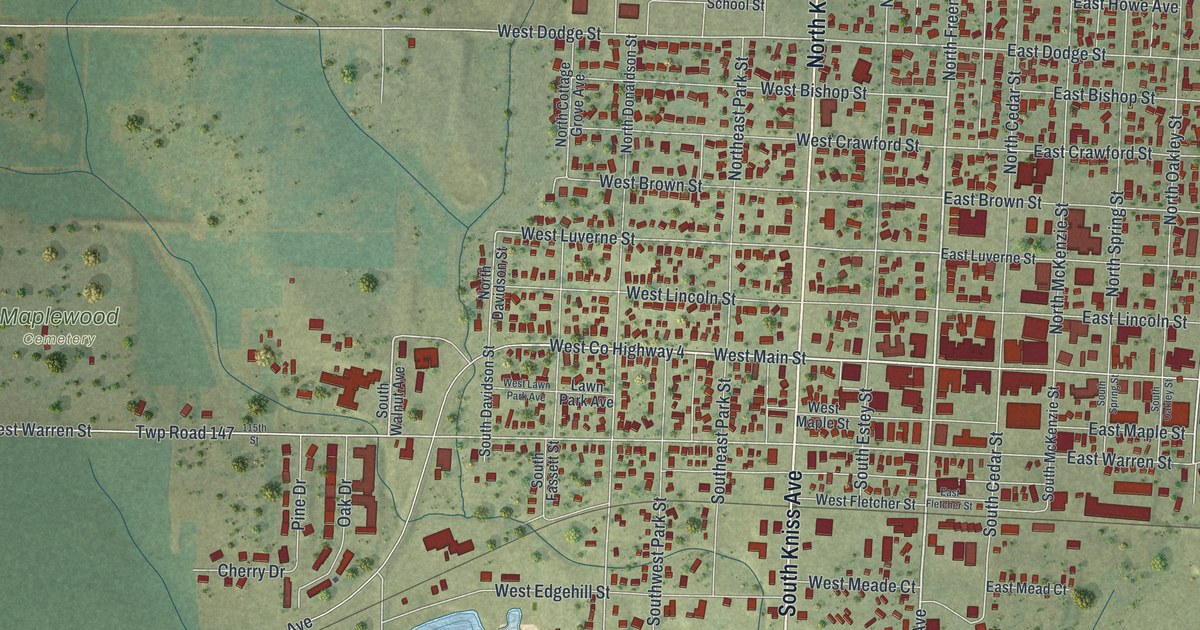
This beautifully detailed map of Luverne, Minnesota was created in 2026 using aerial imagery combined with modern topographical, census, street and landmark data. It’s a one-of-a-kind view of Luverne that combines accurate data with a vintage aesthetic. The map shows every building in its true location, many of the roads carry their names, and the shaded topographic relief shows the shape of the land.
Explore an aerial view of Luverne, Minnesota
On the map you’ll find Hawkinson Park, Luverne City Park, Maplewood Cemetery, Riverside Park, and The Lake Park, along with South Kniss Avenue, North Kniss Avenue, West Hatting Street, North Freeman Avenue, South Freeman Avenue, West Main Street, West Co Highway 4, and more. If you look closely you can even find your house accurately drawn in its correct location. Zoom in on the preview to look for yours.
Did you know this piece of Luverne, Minnesota history?
From Warren Upham’s 1920 Minnesota Geographic Names: "Luverne, the county seat, first settled in 1867-68, platted as a village in 1870, was incorporated by a legislative act February 14, 1877, and by vote of its people November 12, 1878."
Take a closer look at the Luverne map
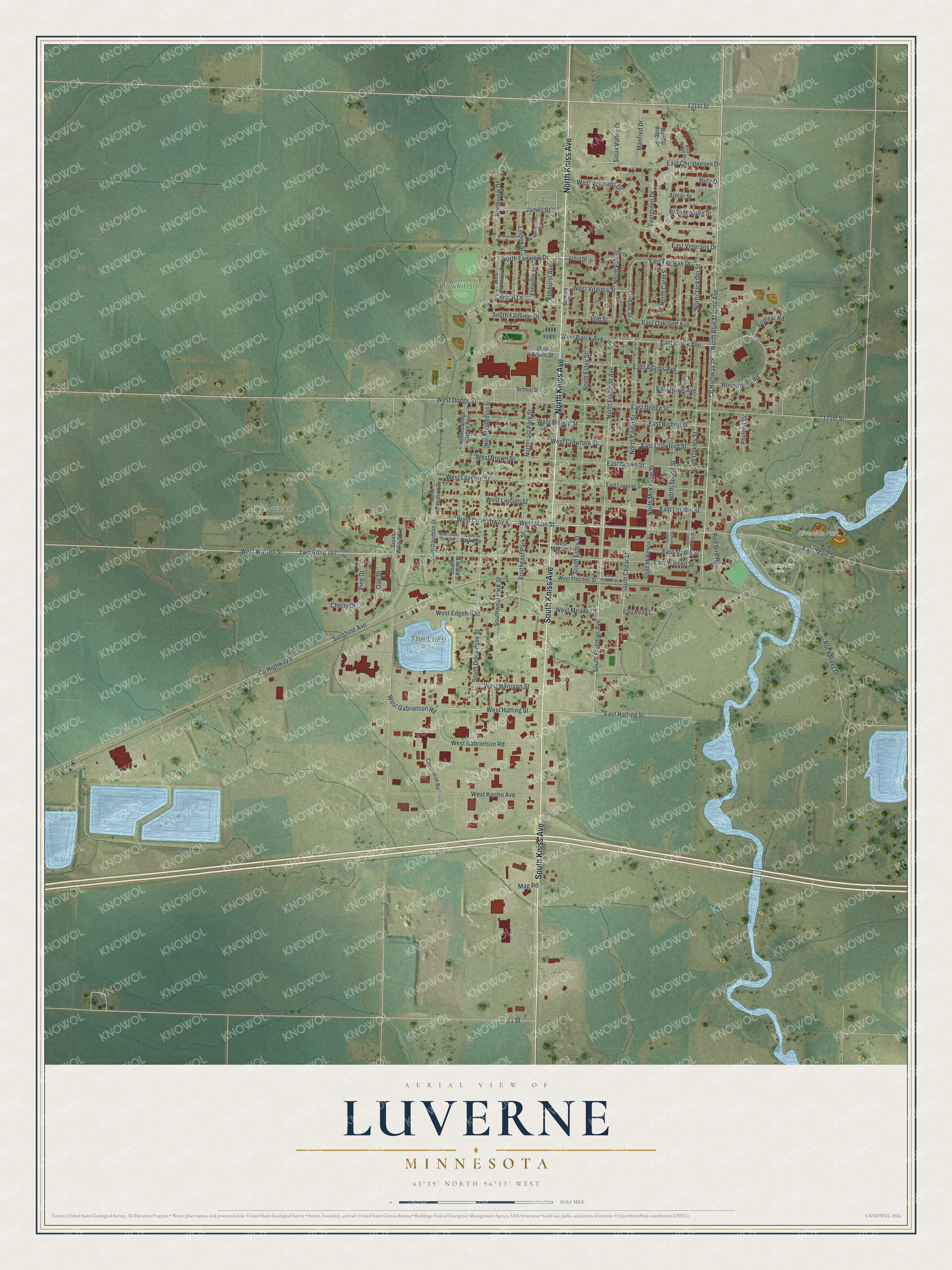
Street and place names on the Luverne, Minnesota map
These names are printed on the map of Luverne, Minnesota.
Places: Hawkinson Park, Luverne City Park, Maplewood Cemetery, Riverside Park and The Lake Park.
Streets and roads: South Kniss Avenue, North Kniss Avenue, West Hatting Street, North Freeman Avenue, South Freeman Avenue, West Main Street, West County Highway 4, 131st Street, North Blue Mound Avenue, County Highway 18, West Gabrietson Road, East Barck Avenue.
More street names, A to Z
81 Street, 115th Street, 121st Street, Almar Street, Blue Ridge Drive, Brandenburg Street, Britz Drive, Buffalo Ridge Drive, Cashin Drive, Central Lane, Cherry Drive, Commerce Road, County Highway 4, East Adams Avenue, East Bishop Street, East Brown Street, East Christensen Drive, East Crawford Street, East Dodge Street, East Fairway Drive, East Fletcher Street, East Hatting Street, East Howe Avenue, East Lincoln Street, East Luverne Street, East Main Street, East Maple Street, East Mead Court, East Oakland Avenue, East Veterans Drive, East Warren Street, Elmhurst Avenue, Elm Street, Elmwood Avenue, Evergreen Drive, Fireleaf Road, Hampshire Circle, James Street, Lawn Park Avenue, Lindale Street, Linden Street, Mag Road, Manfred Drive, Michael Street, North Carol Street, North Cedar Street, North Cottage Grove Avenue, North Davidson Street, North Donaldson Street, Northeast Park Street, North Elm Street, North Estey Street, North Fairview Drive, North Jackson Street, North McKenzie Street, North Oakley Street, North Spring Street, Northview Drive, Oak Drive, Phyleon Drive, Pine Drive, Red Bird Road, Rock River Drive, Roundwind Road, School Street, Service Drive, Sioux Valley Drive, South Cedar Street, South Davidson Street, South Donaldson Street, Southeast Park Street, South Estey Street, South Fairview Drive, South Fassett Street, South McKenzie Street, South Oakley Street, South Spring Street, South Walnut Avenue, Southwest Park Street, Sunshine Avenue, Twp Road 147, West Adams Street, West Barck Avenue, West Bishop Street, West Brown Street, West Crawford Street, West Dodge Street, West Edgehill Street, West Fairview Drive, West Fletcher Street, West Gabrielson Road, West Harrison Street, West Koehn Avenue, West Lawn Park Avenue, West Lincoln Street, West Luverne Street, West Maple Street, West Meade Court, West Veterans Drive, West Virginia Street, West Warren Street.
See the Luverne, Minnesota map on a wall
The Luverne map as an 18 x 24 inch print in a black frame.

This beautifully detailed map of Luverne makes an attractive addition to your office, library, or den, and it can even be used to teach children the geography and history of the area. It also makes a great gift for anyone with Luverne roots. When you’re done exploring, click here to get your copy of the Luverne map.