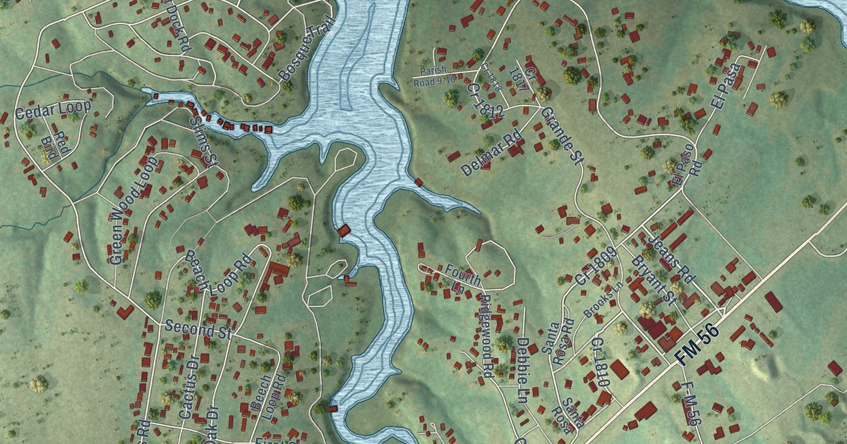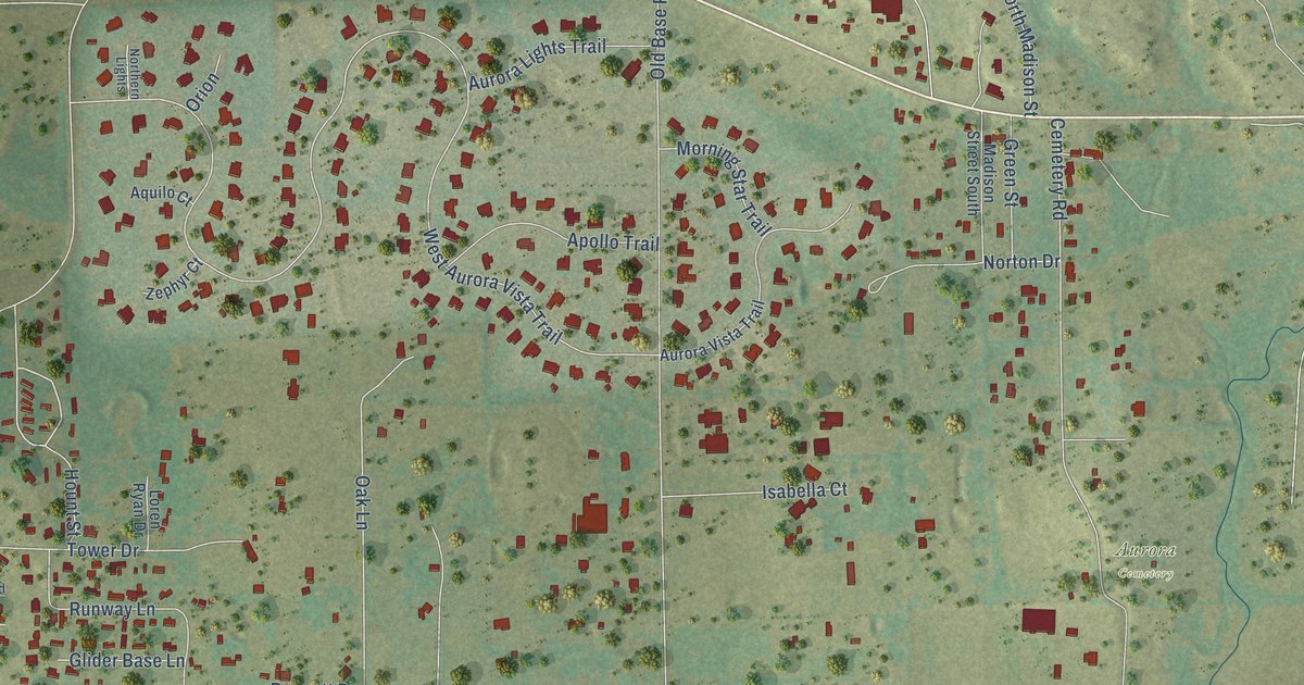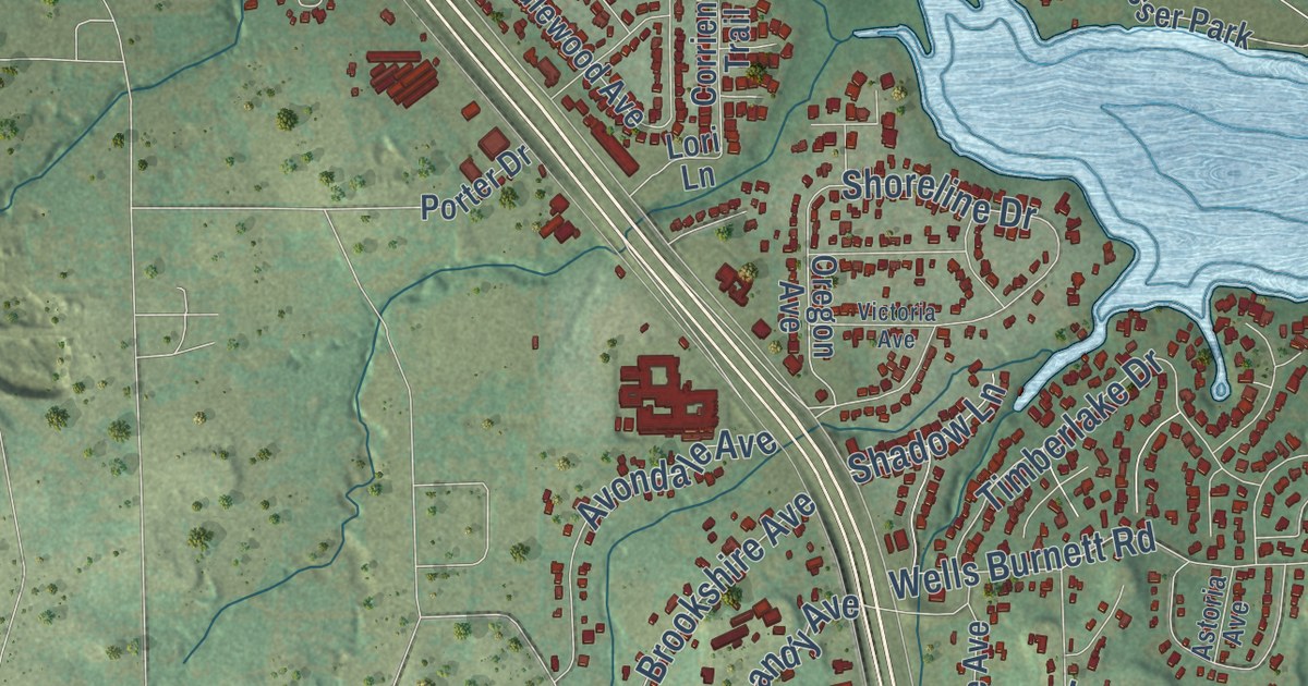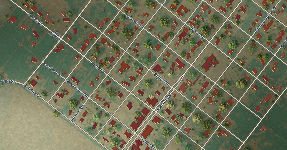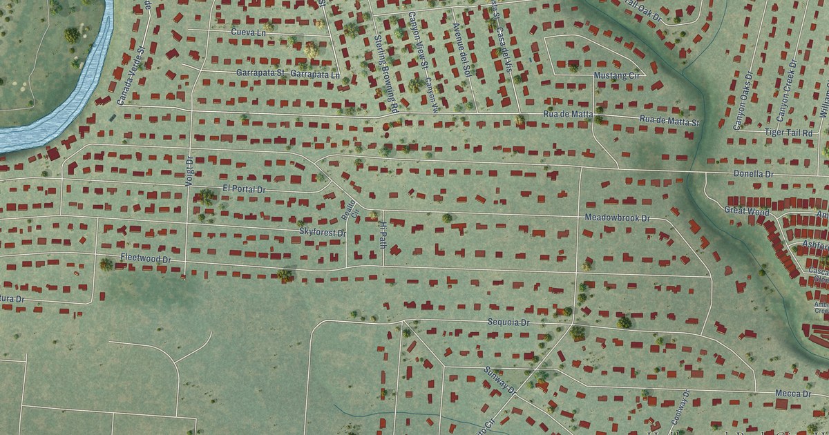
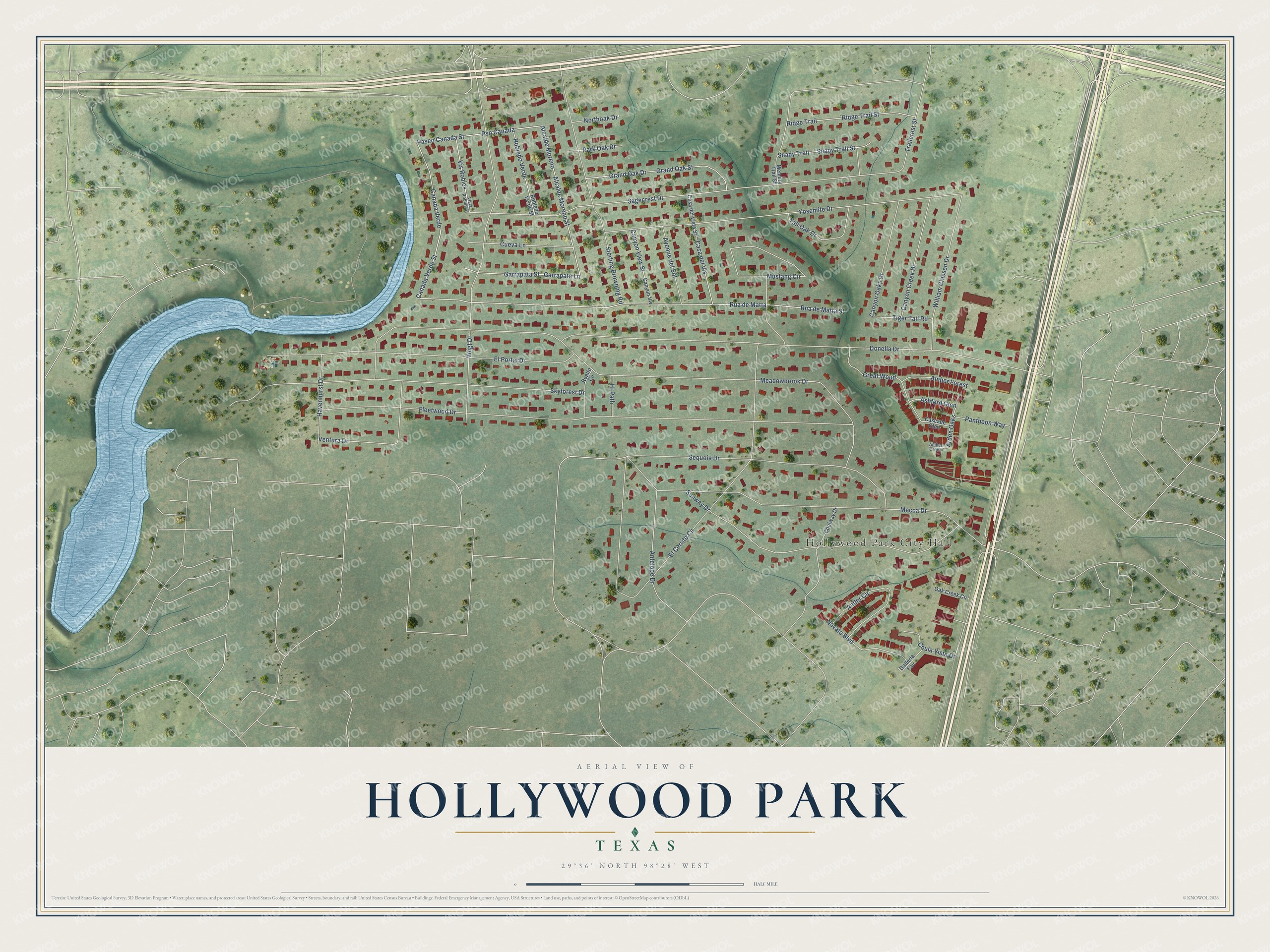
This beautifully detailed map of Hollywood Park, Texas was created in 2026 using aerial imagery combined with modern topographical, census, street and landmark data. It’s a one-of-a-kind view of Hollywood Park that combines accurate data with a vintage aesthetic. The map shows every building in its true location, many of the roads carry their names, and the shaded topographic relief shows the shape of the land.
Explore an aerial view of Hollywood Park, Texas
On the map you’ll find Hollywood Park City Hall, Voigt Park, Canada Verde, Alcalde Moreno, Pso Canada, and Arden Oaks, along with Canada Verde Street, Alcalde Moreno Street, Paseo Canada Street, Sagecrest Drive, Meadowbrook Drive, Fleetwood Drive, and more. If you look closely you can even find your house accurately drawn in its correct location. Zoom in on the preview to look for yours.
Did you know this piece of Hollywood Park, Texas history?
From the Handbook of Texas: "Hollywood Park is near the junction of Loop 1604 and U.S. Highway 281, twelve miles north of downtown San Antonio in northern Bexar County. It developed in the late 1940s and was incorporated in 1955."
Take a closer look at the Hollywood Park map
Street and place names on the Hollywood Park, Texas map
These names are printed on the map of Hollywood Park, Texas.
Places: Hollywood Park City Hall and Voigt Park.
Streets and roads: Canada Verde, Canada Verde Street, Alcalde Moreno, Alcalde Moreno Street, Paseo Canada Street, Pso Canada, Arden Oaks, Sagecrest Drive, Meadowbrook Drive, Fleetwood Drive, Donella Drive, El Cerrito Circle.
More street names, A to Z
Amber Creek, Amber Forest, Antelope Drive, Antler Circle, Ashford Glen, Avenue del Sol, Canyon Creek Drive, Canyon Oaks Drive, Canyon View Street, Canyon Vw, Casa del Vis, Casa del Vista Street, Cascade Glen, Chula Vista Drive, Coolway Drive, Cueva Lane, El Portal Drive, Galleria Fair, Garrapata Lane, Garrapata Street, Grand Oak Drive, Grand Oak Street, Great Wood, Havenhurst Drive, Hi Path, Mecca Drive, Memory Trail Street, Mustang Circle, Navato Boulevard, Northoak Drive, Oak Creek Circle, Pantheon Way, Park Oak Drive, Realto Circle, Ridge Trail, Ridge Trail Street, Robledo Verde, Robledo Verde Street, Rua de Matta, Rua de Matta Street, Sequoia Drive, Shady Trail, Shady Trail Street, Skyforest Drive, Sterling Browning Road, Sunway Drive, Tall Oak Drive, Tiger Tail Road, Trailcrest Street, Ventura Drive, Vis Robles, Vista Robles Street, Voigt Drive, William Classen Drive, Yosemite Drive.
See the Hollywood Park, Texas map on a wall
The Hollywood Park map as an 18 x 24 inch print in a black frame.

This beautifully detailed map of Hollywood Park makes an attractive addition to your office, library, or den, and it can even be used to teach children the geography and history of the area. It also makes a great gift for anyone with Hollywood Park roots. When you’re done exploring, click here to get your copy of the Hollywood Park map.