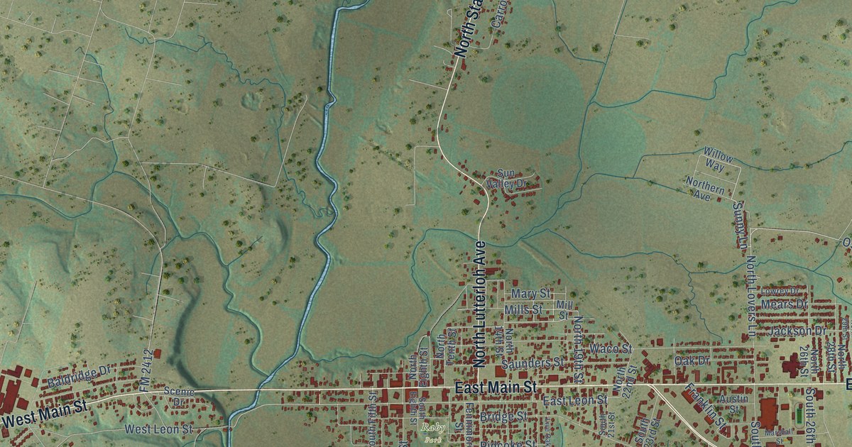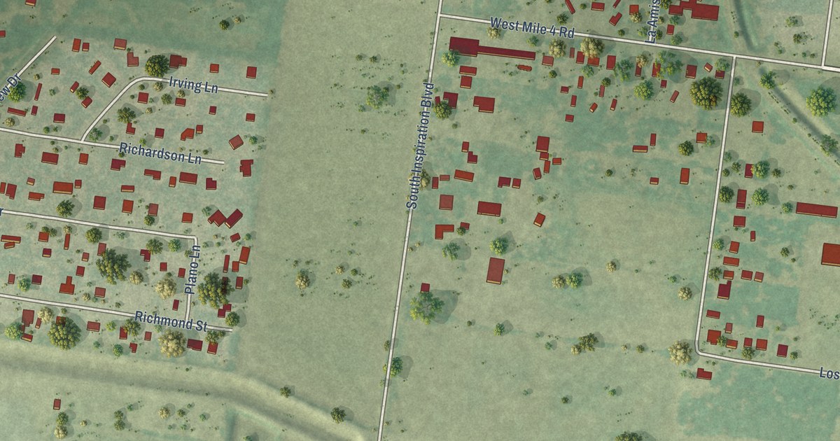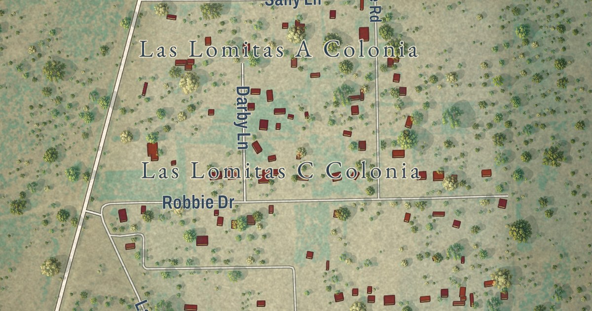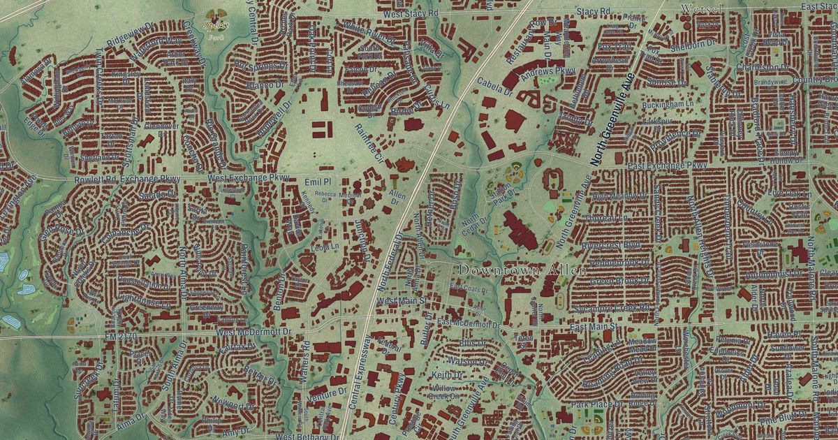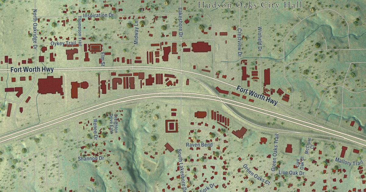
This beautifully detailed map of Hudson Oaks, Texas was created in 2026 using aerial imagery combined with modern topographical, census, street and landmark data. It’s a one-of-a-kind view of Hudson Oaks that combines accurate data with a vintage aesthetic. The map shows every building in its true location, many of the roads carry their names, and the shaded topographic relief shows the shape of the land.
Explore an aerial view of Hudson Oaks, Texas
On the map you’ll find Hudson Oaks City Hall, along with Fort Worth Highway, North Oak Ridge Drive, Lakeshore Drive, Green Oaks Trail, Red Eagle Trail, Old Highway 80, East Bankhead Drive, East Bankhead Highway, Diamond Oaks Drive, Inspiration Drive, and more. If you look closely you can even find your house accurately drawn in its correct location. Zoom in on the preview to look for yours.
Did you know this piece of Hudson Oaks, Texas history?
From the Handbook of Texas: "Hudson Oaks is on U.S. Highway 80 and Interstate Highway 20, five miles east of Weatherford in Parker County. It was incorporated during the late 1970s and had a population of 309 in 1980 and 711 in 1990."
Take a closer look at the Hudson Oaks map
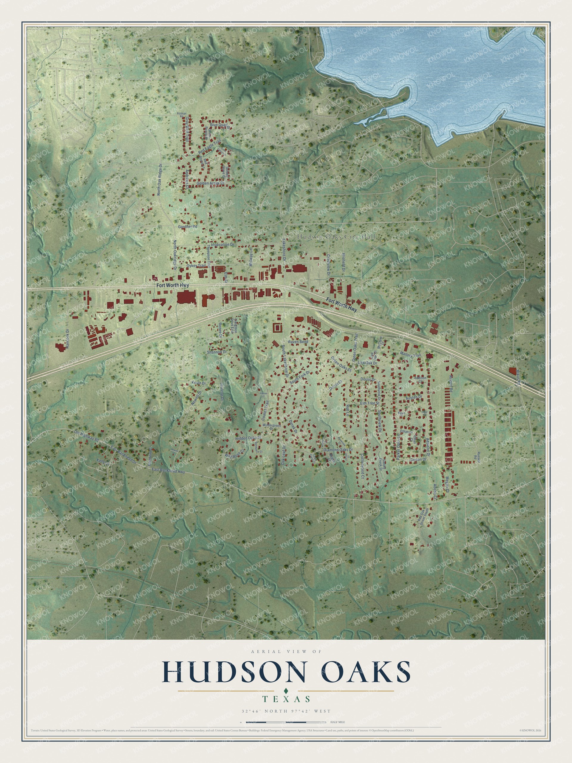
Street and place names on the Hudson Oaks, Texas map
These names are printed on the map of Hudson Oaks, Texas.
Places: Hudson Oaks City Hall.
Streets and roads: Fort Worth Highway, North Oak Ridge Drive, North Oakridge Drive, Lakeshore Drive, Green Oaks Trail, Red Eagle Trail, Old Highway 80, East Bankhead Drive, East Bankhead Highway, Diamond Oaks Drive, Inspiration Drive, Newell Drive.
More street names, A to Z
Addison Court, Addison Drive, Adobe Court, Airport Road, Andrews Court, Austen Drive, Bankhead Court, Beech Court, Blue Quail Drive, Brookview Court, Carson Drive, Cedar Crest Court, Chris Court, Coates Trail, Cottonwood Court, Creighton Drive East, Crestview Drive, Derek Drive, Dorris Court, Dorris Drive, Elm Street, Elm Tree Street, Ethan Court, Ethan Drive, Florine Court, Gardner Road, Golden Arrow Drive, Golden Grove Court, Gray Wolf Trail, Green Canyon Court, Green Oaks Court, Green Pointe Drive, Hancock Drive, Hawthorn Court, Hidden Oaks Drive, Joalene Drive, Juniper Court, Kelly Court, Kevin Drive, Live Oak Court, Live Oak Drive, Mallory Trail, McClure Court, Mearl Court, Megan Court, Midway Lane, Mikus Road, Newell Court, Oak Leaf Drive, Oykey Trail, Parker Oaks Lane, Pittman Road, Raven Bend, Red Oak Street South, Red Stone Lane, Renee Drive, Rob Lane, Russell Road, Saddle Brook Drive, Shannon Drive, South Fork Drive, South Lakeshore Drive, Southveiw Drive, Southview Drive, Sundance Court, Thompson Trail, Wild Rose Court, Winfield Drive, Wintergreen Drive.
See the Hudson Oaks, Texas map on a wall
The Hudson Oaks map as an 18 x 24 inch print in a black frame.

This beautifully detailed map of Hudson Oaks makes an attractive addition to your office, library, or den, and it can even be used to teach children the geography and history of the area. It also makes a great gift for someone who left Hudson Oaks and still calls it home. When you’re done exploring, click here to get your copy of the Hudson Oaks map.