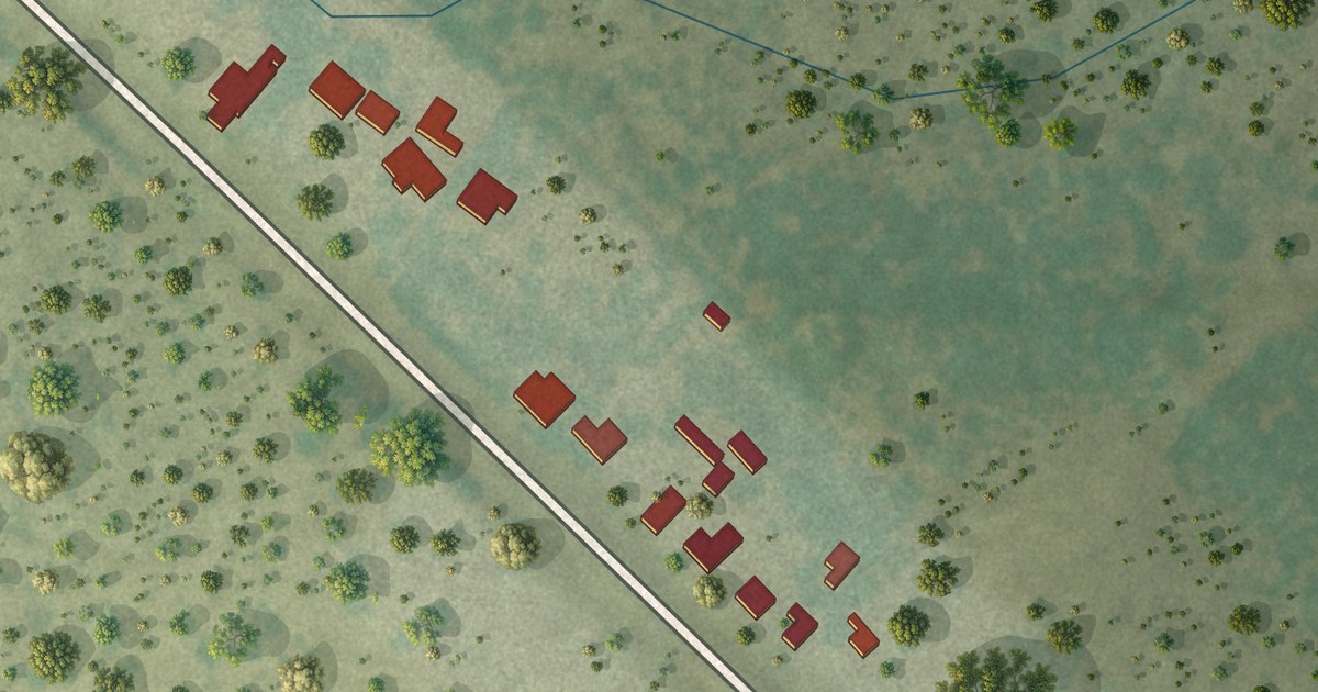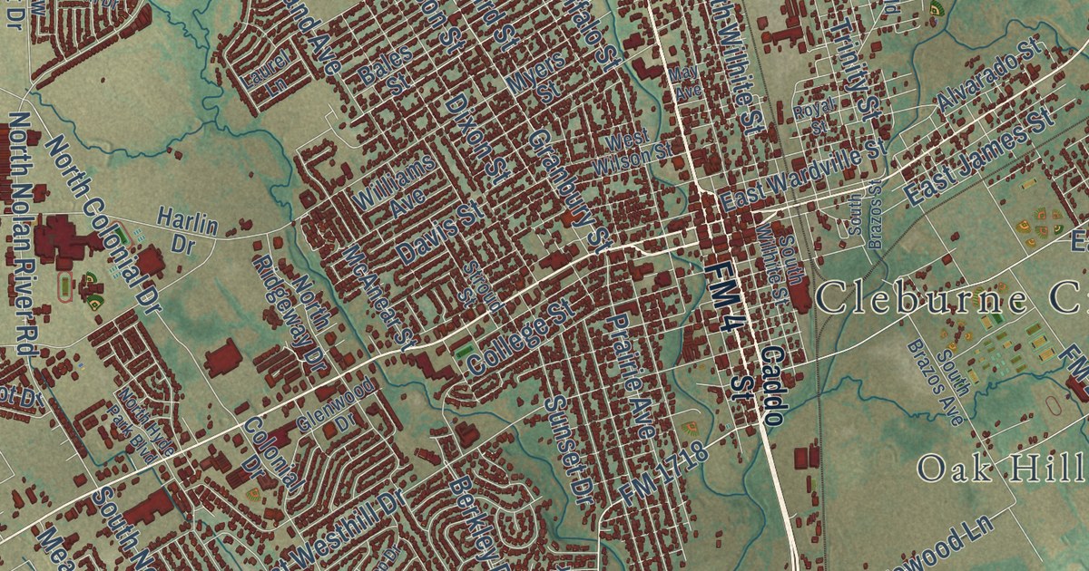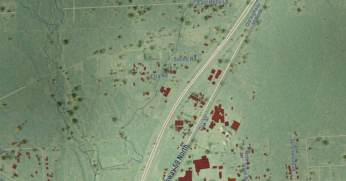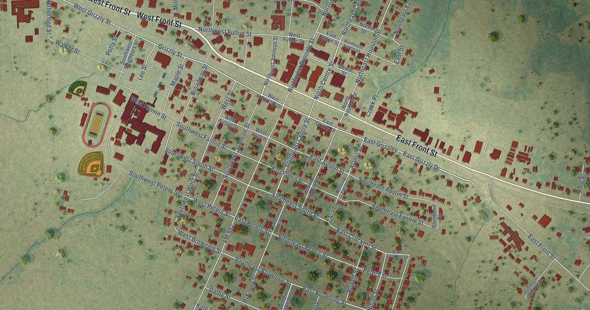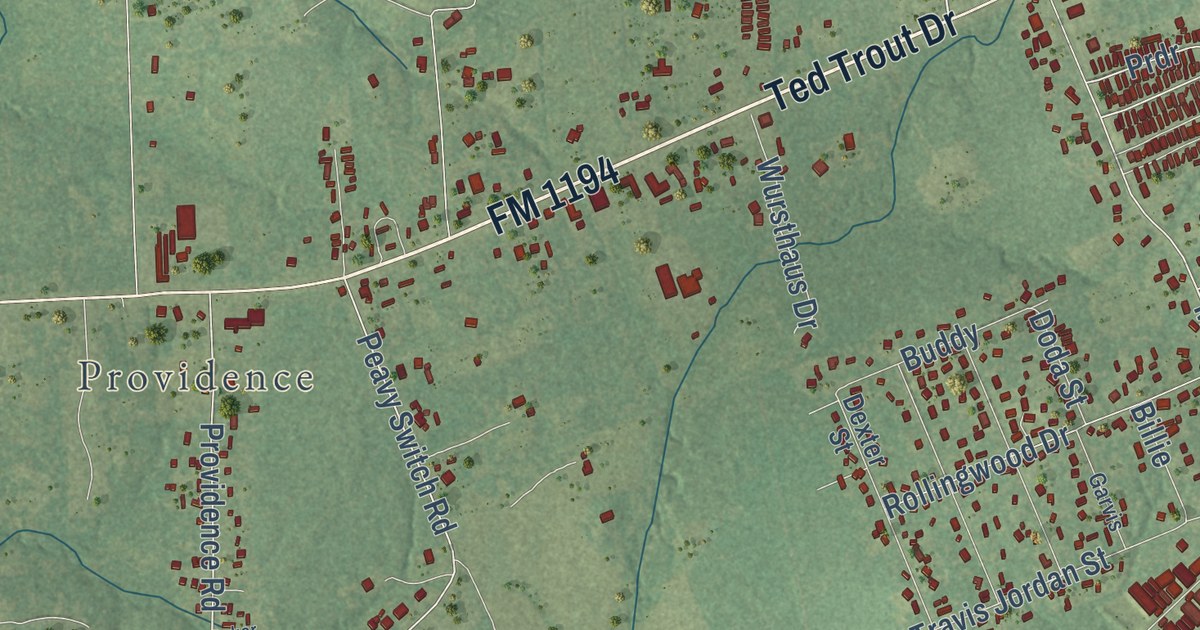
This beautifully detailed map of Hudson, Texas was created in 2026 using aerial imagery combined with modern topographical, census, street and landmark data. It’s a one-of-a-kind view of Hudson that combines accurate data with a vintage aesthetic. The map shows every building in its true location, many of the roads carry their names, and the shaded topographic relief shows the shape of the land.
Explore an aerial view of Hudson, Texas
On the map you’ll find Providence, South FM 706, Prdr, and Bobwhite, along with FM 1194, Ted Trout Drive, Oscar Berry Road, FM 706 South, Mount Carmel Road, Texas Forest Service Loop, Peavy Switch Road, Providence Road, and more. If you look closely you can even find your house accurately drawn in its correct location. Zoom in on the preview to look for yours.
Did you know this piece of Hudson, Texas history?
From the Handbook of Texas: "The largely residential community grew up as a suburb of Lufkin in the 1960s and was incorporated in the latter part of the decade."
Take a closer look at the Hudson map
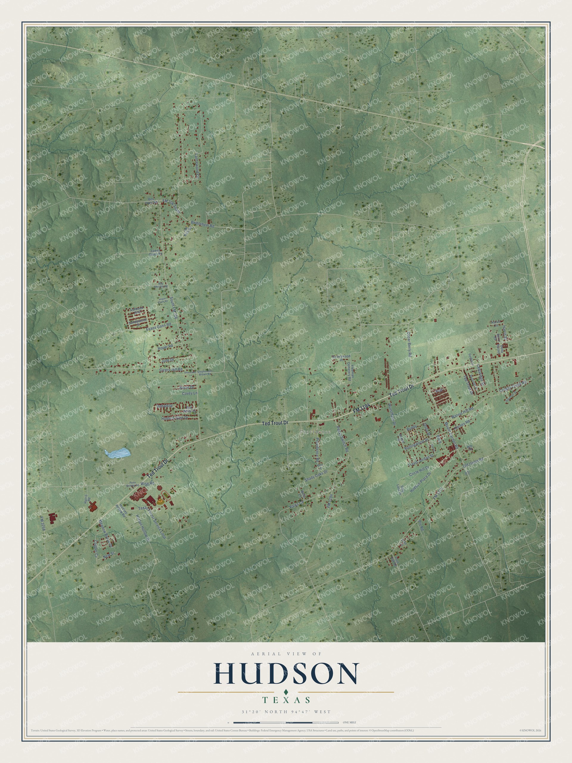
Street and place names on the Hudson, Texas map
These names are printed on the map of Hudson, Texas.
Places: Providence.
Streets and roads: FM 1194, Ted Trout Drive, Oscar Berry Road, South FM 706, FM 706 South, Mount Carmel Road, Prdr, Texas Forest Service Loop, Peavy Switch Road, Bobwhite, Providence Road, Circle Hill Drive.
More street names, A to Z
Ashwood Bnd, Baker Lane, Ben Dunn Road, Berry Road, Bethlehem Road, Billie, Bob White Drive, Buddy, Cedaridge Street, Cicero Hill Road, Copper Cv, Covey Lane, Cox Road, Cripple Creek Road, Della Russell, Dexter Street, Doda Street, Evans Gann Road, FM 1271, FM 3258, Freeman Cemetery Road, Fritz Lane, Garvis, Golden Lane, Harris Lane, Harris Road, Harris Street, Hogan Evans Road, Horton Hollow Drive, Hortons Hollow Road, Hudson Place Drive, Hunters Glen Drive, James Oates Road, Joe Nick Road, June Drive, Karnes Road, Lancewood Circle, Meadow Brook Drive, Milo Road, New Street, Old Union Road, Parks Circle, Penn Bonner Road, Post Oak Road, Prv Road, Rollingwood Drive, Roper Road, Roy Christie Road, Sally Lane Drive, Sandalwood Street, Shady Oaks Drive, Shoemaker Lane, Silverton Street, Sprucewood Drive, Stephenson Brown Road, Stone Drive, Travis Jordan Street, Walnut Hill Road, Westridge Street, Willis Lane, Wise Road, Wursthaus Drive.
See the Hudson, Texas map on a wall
The Hudson map as an 18 x 24 inch print in a black frame.

This beautifully detailed map of Hudson makes an attractive addition to your office, library, or den, and it can even be used to teach children the geography and history of the area. It also makes a great gift for anyone who grew up in Hudson or moved away. When you’re done exploring, click here to get your copy of the Hudson map.