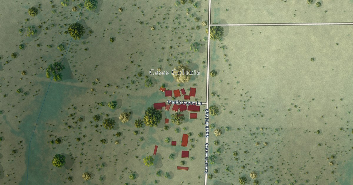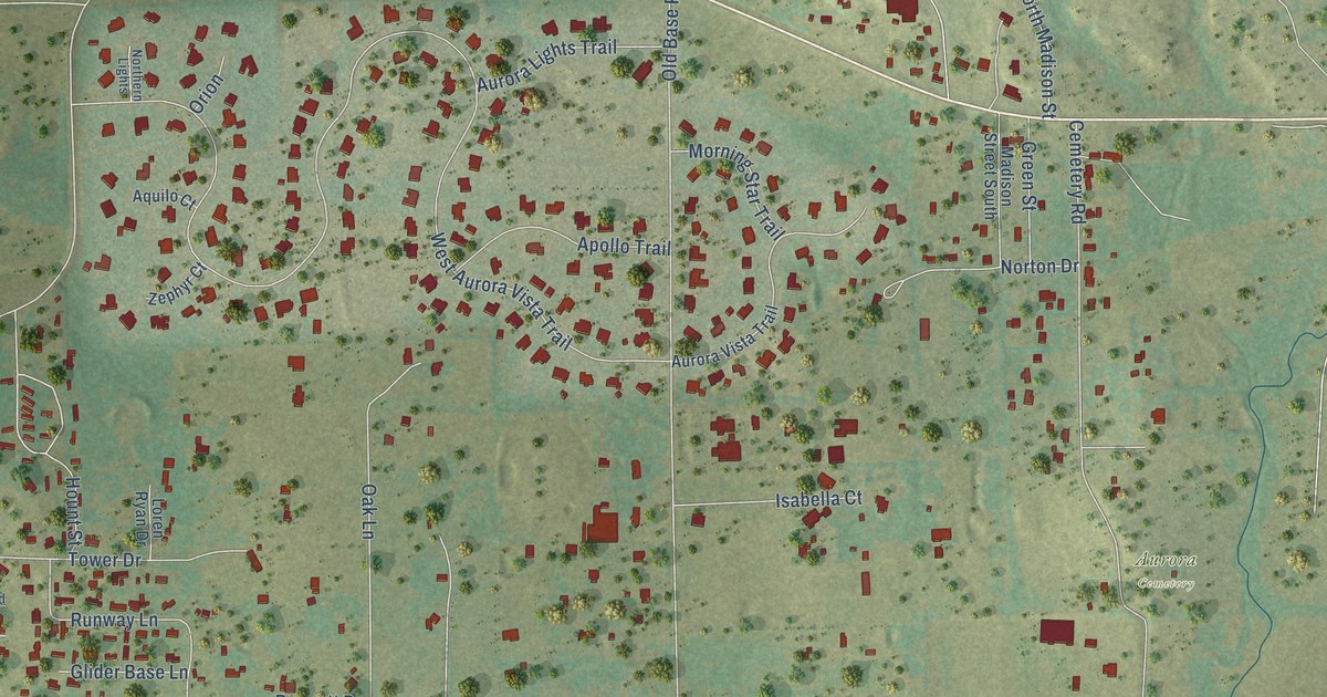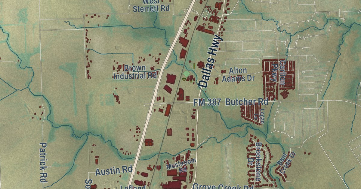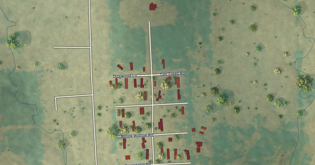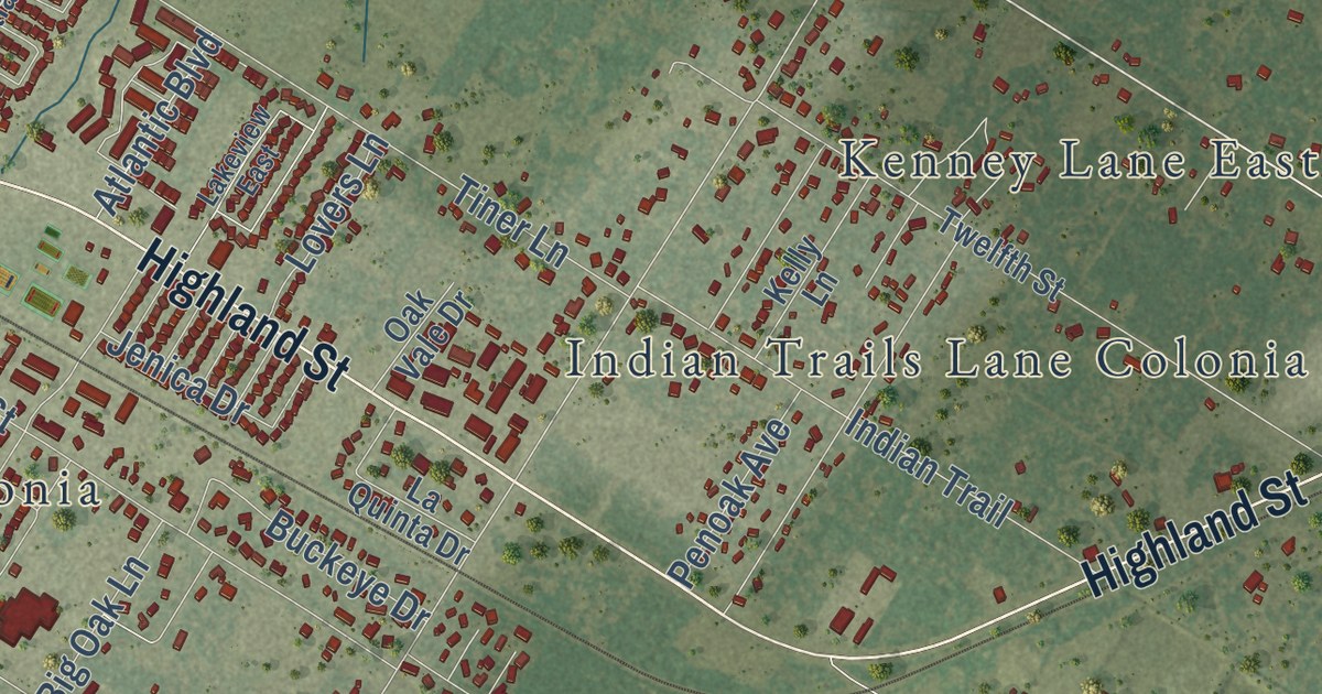
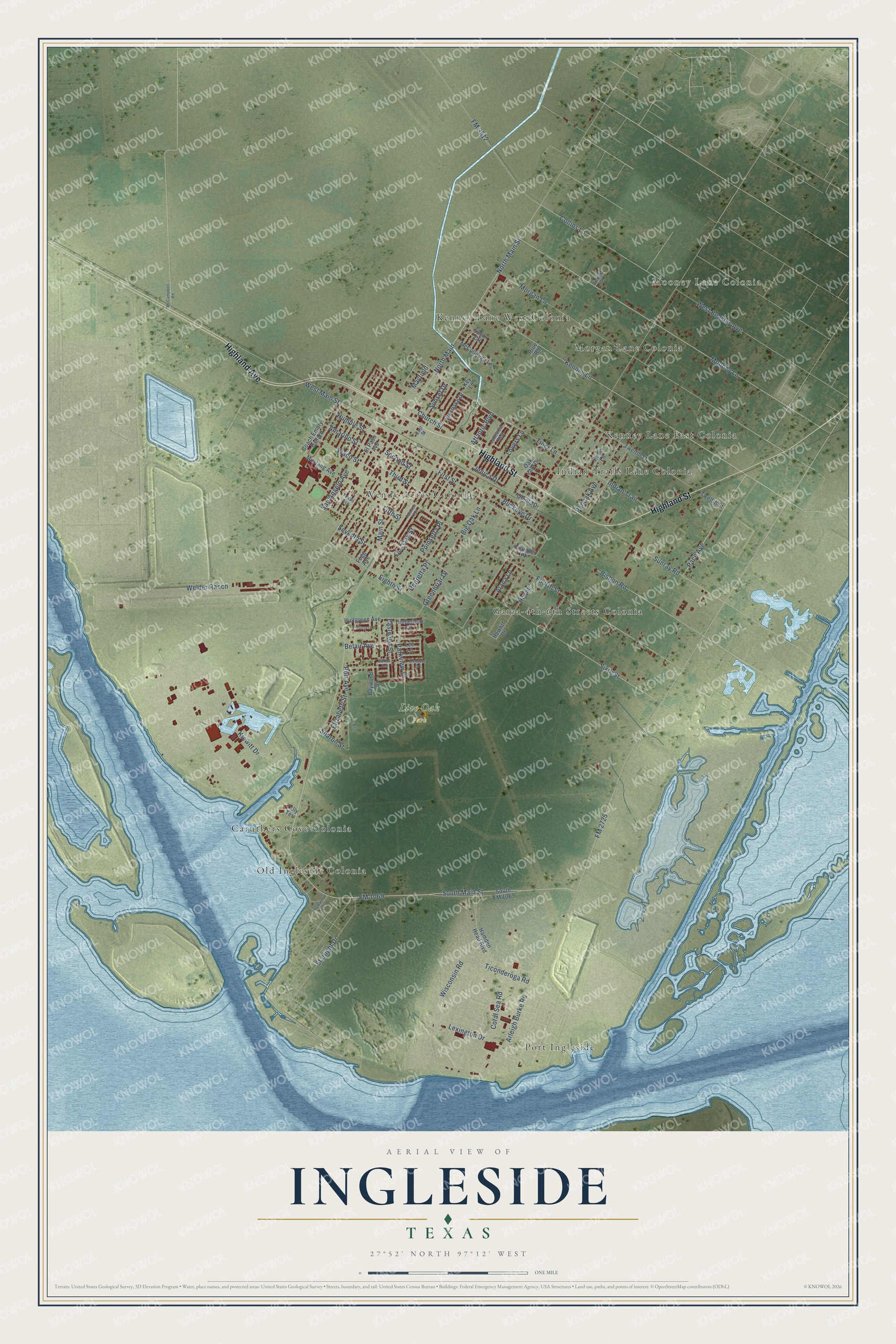
This beautifully detailed map of Ingleside, Texas was created in 2026 using aerial imagery combined with modern topographical, census, street and landmark data. It’s a one-of-a-kind view of Ingleside that combines accurate data with a vintage aesthetic. The map shows every building in its true location, many of the roads carry their names, and the shaded topographic relief shows the shape of the land.
Explore an aerial view of Ingleside, Texas
On the map you’ll find Mooney Lane Colonia, Live Oak Park, Caruthers Cove Colonia, Garza-4th-6th Streets Colonia, Indian Trails Lane Colonia, Kenney Lane East Colonia, Kenney Lane West Colonia, Morgan Lane Colonia, Old Ingleside Colonia, Port Ingleside, and Wendy Acres Colonia, along with Highland Street, and more. If you look closely you can even find your house accurately drawn in its correct location. Zoom in on the preview to look for yours.
Did you know this piece of Ingleside, Texas history?
From the Handbook of Texas: "When Humble Oil built a tank farm at Harbor City, or Port Ingleside, and announced plans in 1927 for a refinery at Ingleside, construction of a housing complex for employees and the establishment of two local newspapers, the Review and the Index, followed."
Take a closer look at the Ingleside map
Street and place names on the Ingleside, Texas map
These names are printed on the map of Ingleside, Texas.
Places: Mooney Lane Colonia, Live Oak Park, Port Ingleside, Wendy Acres Colonia, Caruthers Cove Colonia, Kenney Lane East Colonia, Kenney Lane West Colonia, Garza-4th-6th Streets Colonia, Indian Trails Lane Colonia, Morgan Lane Colonia and Old Ingleside Colonia.
Streets and roads: Highland Street, Highland Avenue, FM 1069, Main Street, North Main Street, FM 2725, North Main, Kenney Lane, Port Avenue, Second Street, Eastwind Street, West Main Street.
More street names, A to Z
Alana Lane, Amarillo Street, Arleigh Burke Road, Atlantic Boulevard, Balboa Avenue, Baywood Drive, Belair Avenue, Big Oak Lane, Bishop Road, Buckeye Drive, Chandler Place, Church Street, Coach Emory Ballard, Collins Lane, Coral Sea Road, East Street, Eighth Street, Elizabeth Street, El Paso Avenue, Fifth Street, First Street, FM 3512, Fogg Avenue, Fourth Street, Greenbriar Drive, Hamden Head Boulevard, Henretta Place, Hewlitt, Hewlitt Drive, Hillcrest, Hultgreen Avenue, Humble Street, Indian Trail, Inglewood Drive, Jenica Drive, Kelly Lane, Key Lane, Kiewitt Drive, Lakeview East, La Quinta Drive, Lee Lane, Lexington Drive, Live Oak Street, Lovers Lane, Mayfield, McCampbell Road, McCullough Lane, Meadow Drive, Mooney Lane, Morgan Lane, Mustang Avenue, Oak Vale Drive, Pace Avenue, Parkview Place, Penoak Avenue, Poinsetta Place, Prue Road, Raintree Trail, San Angelo Avenue, Seventh Street, Sharon Street, Sixth Street, South FM 1069, South Main Street, Starlight Drive, Sunray Road, Sunset Drive, Susan Circle, Tally Terrace, Texas Avenue, Third Street, Ticonderoga Road, Timberleaf Circle, Tiner Lane, Twelfth Street, Vickery Lane, Waco Street, Welder Ranch, West Beasley Avenue, Westlake Drive, Wisconsin Road.
See the Ingleside, Texas map on a wall
The Ingleside map as an 18 x 24 inch print in a black frame.

This beautifully detailed map of Ingleside makes an attractive addition to your office, library, or den, and it can even be used to teach children the geography and history of the area. It also makes a great gift for anyone who grew up in Ingleside or moved away. When you’re done exploring, click here to get your copy of the Ingleside map.