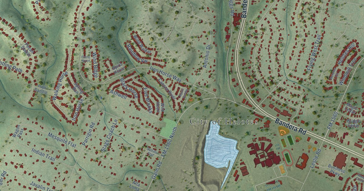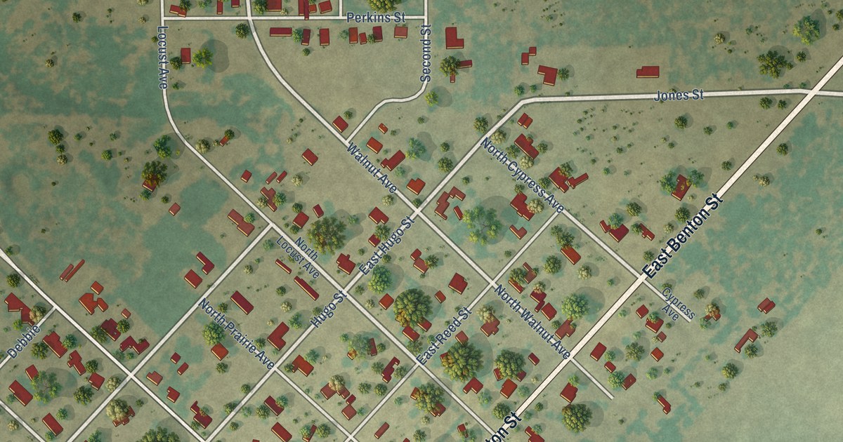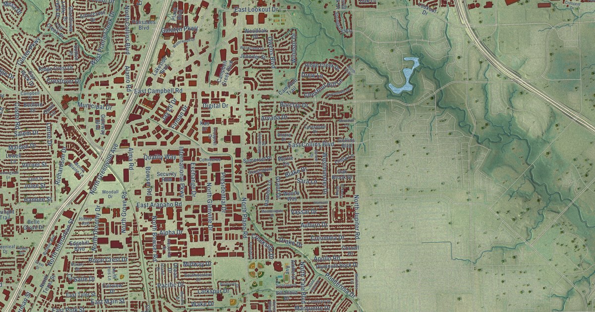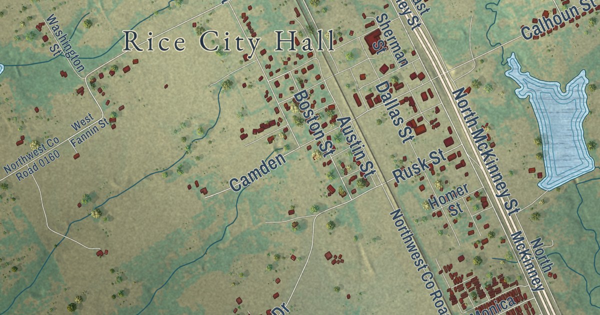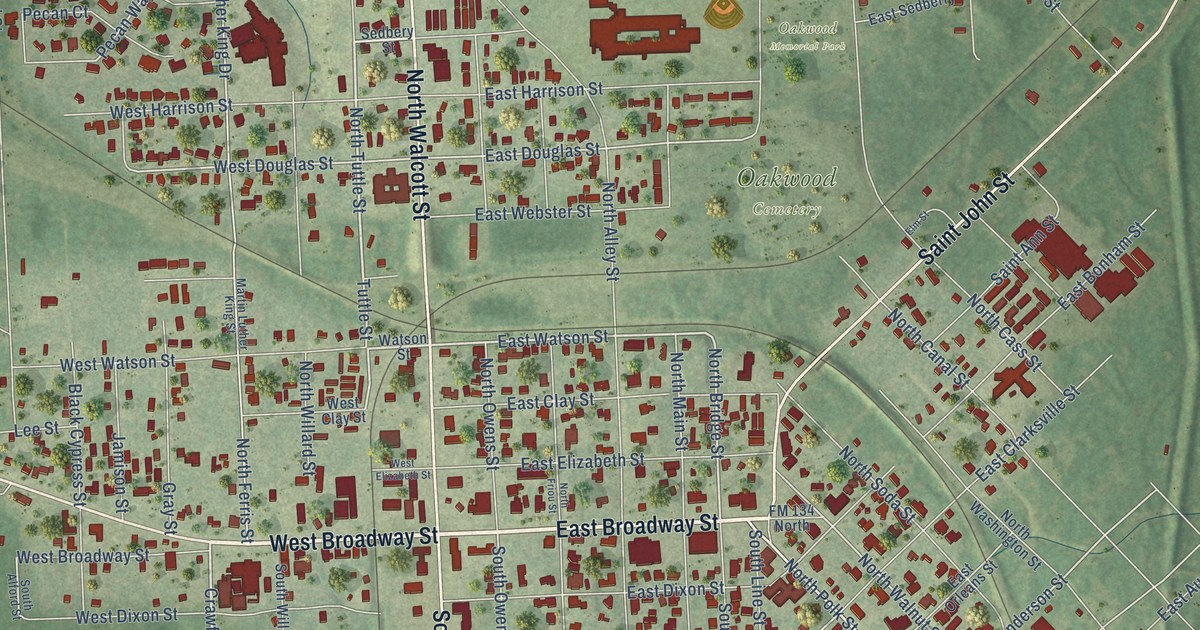
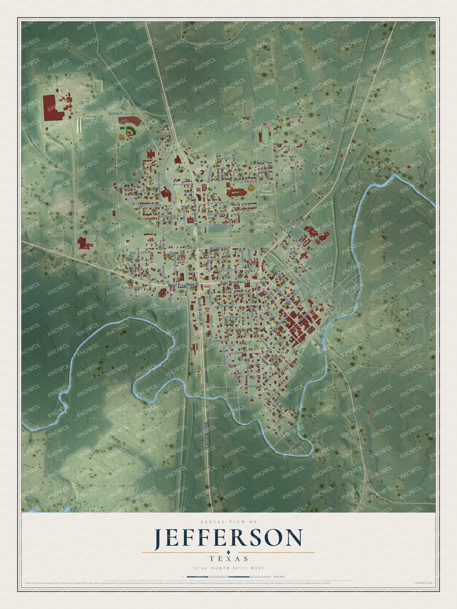
This beautifully detailed map of Jefferson, Texas was created in 2026 using aerial imagery combined with modern topographical, census, street and landmark data. It’s a one-of-a-kind view of Jefferson that combines accurate data with a vintage aesthetic. The map shows every building in its true location, many of the roads carry their names, and the shaded topographic relief shows the shape of the land.
Explore an aerial view of Jefferson, Texas
On the map you’ll find Oakwood Cemetery and Oakwood Memorial Park, along with East Broadway Street, West Broadway Street, North Walcott Street, South Walcott Street, Saint John Street, FM 134, North Polk Street, North Tuttle Street, Crawford Street, East Austin Street, and more. If you look closely you can even find your house accurately drawn in its correct location. Zoom in on the preview to look for yours.
Did you know this piece of Jefferson, Texas history?
From the Handbook of Texas: "The first newspaper, the Jefferson Democrat, was printed in 1847, and the following year the Jimplecute, the town’s longest-running and most influential paper, made its appearance."
Take a closer look at the Jefferson map
Street and place names on the Jefferson, Texas map
These names are printed on the map of Jefferson, Texas.
Places: Oakwood Cemetery and Oakwood Memorial Park.
Streets and roads: East Broadway Street, West Broadway Street, North Walcott Street, South Walcott Street, Saint John Street, FM 134, North Polk Street, North Tuttle Street, Crawford Street, East Austin Street, West Austin Street, East Watson Street.
More street names, A to Z
Bayou Street, Black Cypress Street, Bulldog Drive, Cass Street, Clearview Drive, Cypress Street, Dan Terry Street, East Baker Street, East Benners Street, East Bonham Street, East Clarksville Street, East Clay Street, East Dallas Street, East Delta Street, East Dixon Street, East Douglas Street, East Elizabeth Street, East Harrison Street, East Henderson Street, East Jefferson Street, East Lafayette Street, East Locust Street, East Moseley Street, East Orleans Street, East Sedberry Street, East Speaks Street, East Taylor Street, East Walker Street, East Webster Street, East Whelan Street, Elm Street, FM 134 North, FM 881, Friou Street, Gray Street, Hartford Street, Haywood Street, Hill Street, Houston Street, Jamison Street, Lafayette Street, Laverne Street, Lee Street, Locust Street, Lynn Street, Martin Luther King Drive, Martin Luther King Street, Moon Lake Road, Moseley Street, Mulberry Street, North Alley Street, North Bridge Street, North Canal Street, North Cass Street, North Ferris Street, North Friou Street, North Jackson Street, North Line Street, North Main Street, North Marshall Street, North Owens Street, North Soda Street, North Street, North Vale Street, North Walnut Street, North Washington Street, North Willard Street, Oak Ridge Drive, Old Colony Road, Owens Street, Pecan Court, Pecan Way, Pine Hill Drive, Pine Street, River Oaks Drive, Rusk Street, Saint Ann Street, Sedbery Street, Seymour Street, South Alford Street, South Alley Street, South Bridge Street, South Caddo Street, South Friou Street, South Line Street, South Main Street, South Owens Street, South Polk Street, South Washington Street, South Willard Street, Stanley Street, Texas Street, Titus Street, Tuttle Street, Watson Street, West Camp Street, West Clay Street, West Dallas Street, West Dixon Street, West Douglas Street, West Elizabeth Street, West Harrison Street, West Henderson Street, West Lafayette Street, West Lake Street, Westview Drive, West Walker Street, West Watson Street, West Whelan Street, Woodland Drive.
See the Jefferson, Texas map on a wall
The Jefferson map as an 18 x 24 inch print in a black frame.

This beautifully detailed map of Jefferson makes an attractive addition to your office, library, or den, and it can even be used to teach children the geography and history of the area. It also makes a great gift for someone who left Jefferson and still calls it home. When you’re done exploring, click here to get your copy of the Jefferson map.