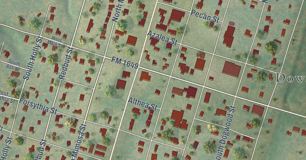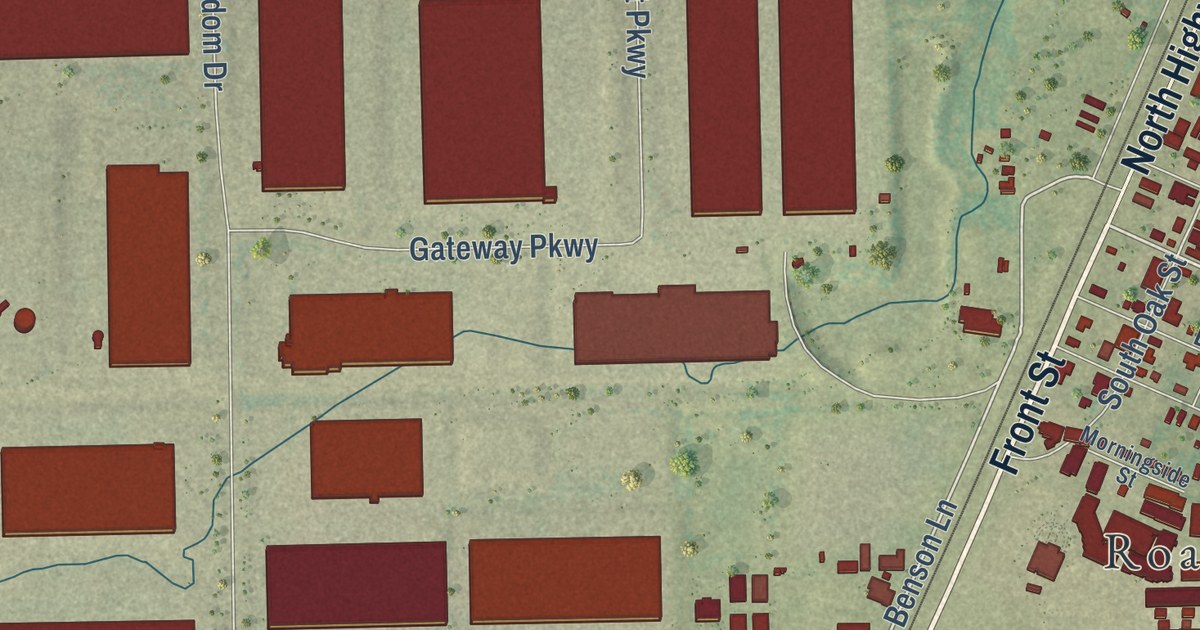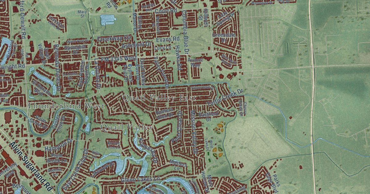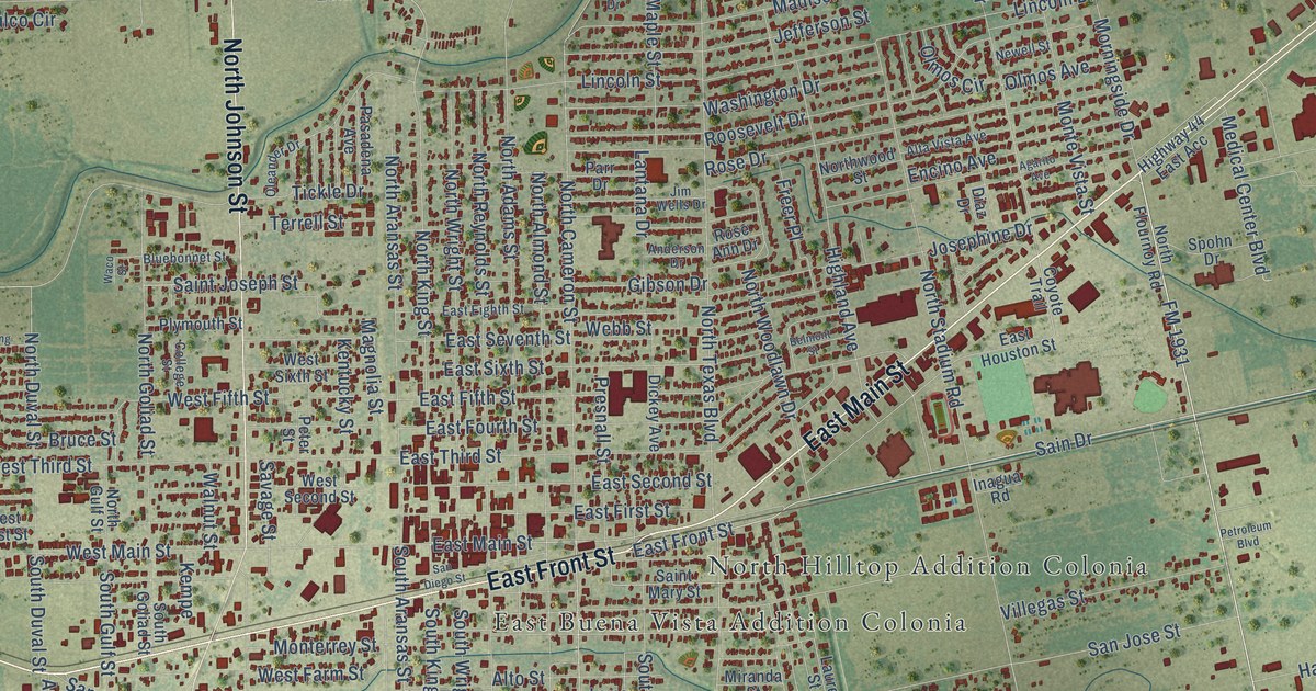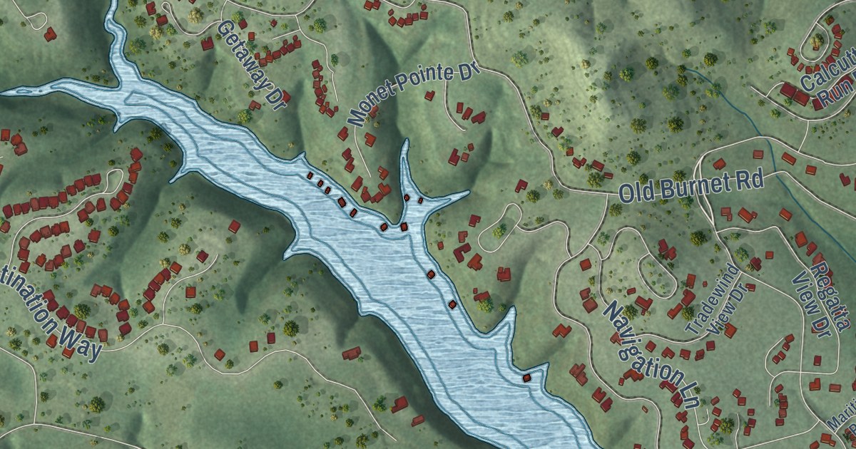
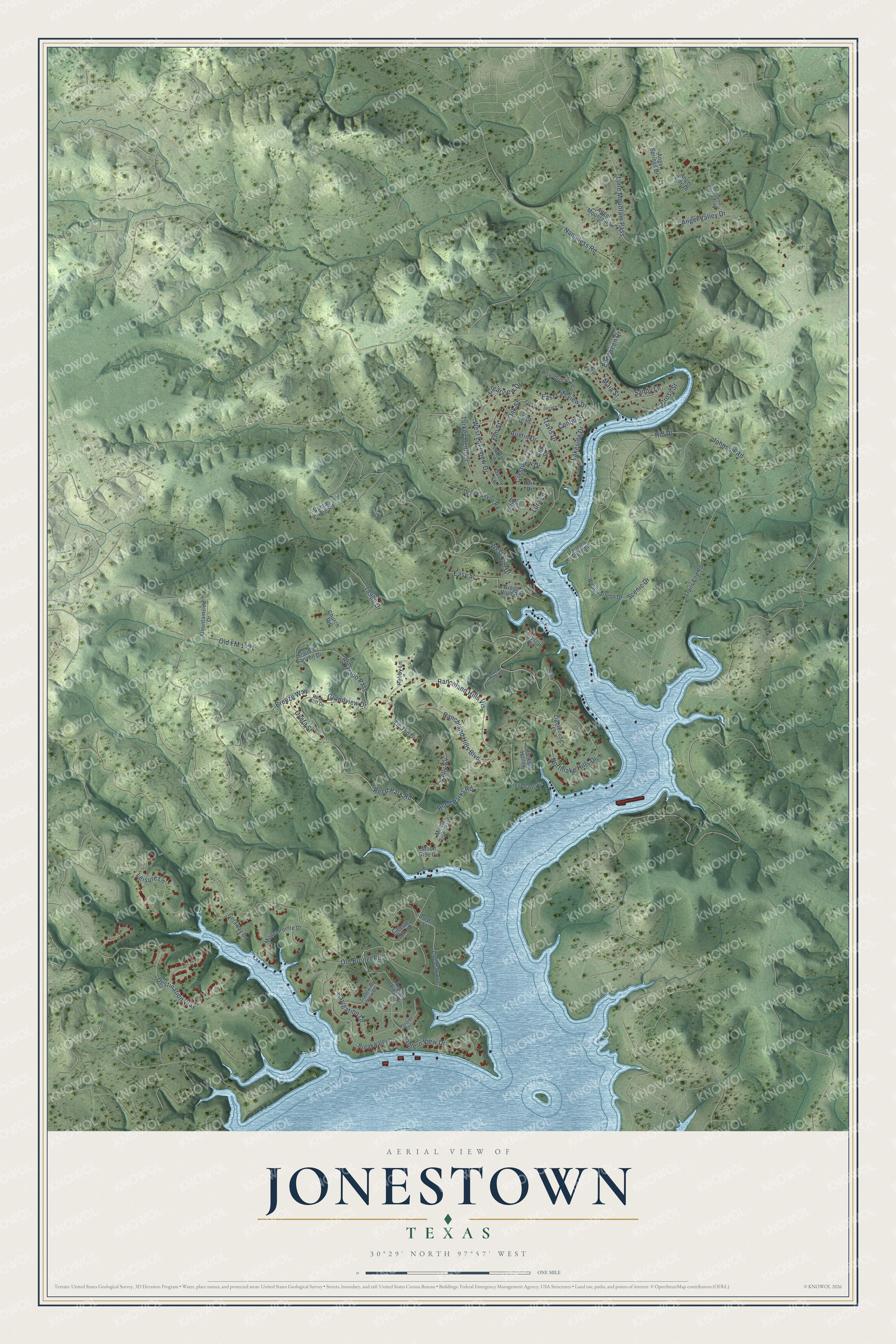
This beautifully detailed map of Jonestown, Texas was created in 2026 using aerial imagery combined with modern topographical, census, street and landmark data. It’s a one-of-a-kind view of Jonestown that combines accurate data with a vintage aesthetic. The map shows every building in its true location, many of the roads carry their names, and the shaded topographic relief shows the shape of the land.
Explore an aerial view of Jonestown, Texas
On the map you’ll find Ranchland Hills Vis, along with Lantern View Drive, Reed Park Road, West Lakeview Drive, Scenic Drive, Reed Parks Road, Old Burnet Road, Destination Way, Lakeside Drive, Northlake Hills Drive, Grandview Drive, Ranchland Hills Boulevard, and more. If you look closely you can even find your house accurately drawn in its correct location. Zoom in on the preview to look for yours.
Did you know this piece of Jonestown, Texas history?
From the Handbook of Texas: "The community was incorporated in the 1980s and reported a population of 683 in 1988."
Take a closer look at the Jonestown map
Street names on the Jonestown, Texas map
These names are printed on the map of Jonestown, Texas.
Streets and roads: Lantern View Drive, Reed Park Road, West Lakeview Drive, Scenic Drive, Reed Parks Road, Old Burnet Road, Destination Way, Lakeside Drive, Northlake Hills Drive, Ranchland Hills Vis, Grandview Drive, Ranchland Hills Boulevard.
More street names, A to Z
18900 Drive, Alvarado Pass, Angel Mountain Drive, Angel Side Drive, Angel Springs Drive, Angel Valley Drive, Austin Drive, Bee Street, Border Street, Breakwater Drive, Breeze Way, Calcutta Run Drive, Center Street, Church Road, Clearview Drive, Crestview Drive, Cross Street, Crystal Cv, Darleen Extended, Deer Canyon Road, Double Canyon Drive, East Lake Terrace Drive, East Lakeview Drive, Easy Street, Edna Road, Elm Street, Evergreen Drive, Fifth Street, First Street, Getaway Drive, Gregg Bluff Road, Harbor Drive, Hill Drive, Hobby Lane, Hunters Hollow, Johnson Road, Kelly Cv, Laurel Lane, Leisure Lane, Lighthouse Lane, Live Oak Avenue, Lone Mountain Pass, Lonesome Creek Trail, Lura Lane, Main Street, Maritime Pass, Monet Pointe Drive, Moon Rise Cv, Moon Rise Trail, Mountainside Drive, Nameless Road, Navigation Lane, Oak Street, Old FM 1431, Oveta Street, Park Drive, Regatta View Drive, Rock Cliff Drive, Roundrock Road, Sandy Lane, Stone Mountain Drive, Sunny Lane, Third Street, Tip Top Drive, Tradewind View Drive, Trails End Road, Travis Drive, Turkey Bend Drive, Vance Circle Road, West Darleen Drive, West Rim Drive, Zieschang Lane.
See the Jonestown, Texas map on a wall
The Jonestown map as an 18 x 24 inch print in a black frame.

This beautifully detailed map of Jonestown makes an attractive addition to your office, library, or den, and it can even be used to teach children the geography and history of the area. It also makes a great gift for anyone who grew up in Jonestown or moved away. When you’re done exploring, click here to get your copy of the Jonestown map.