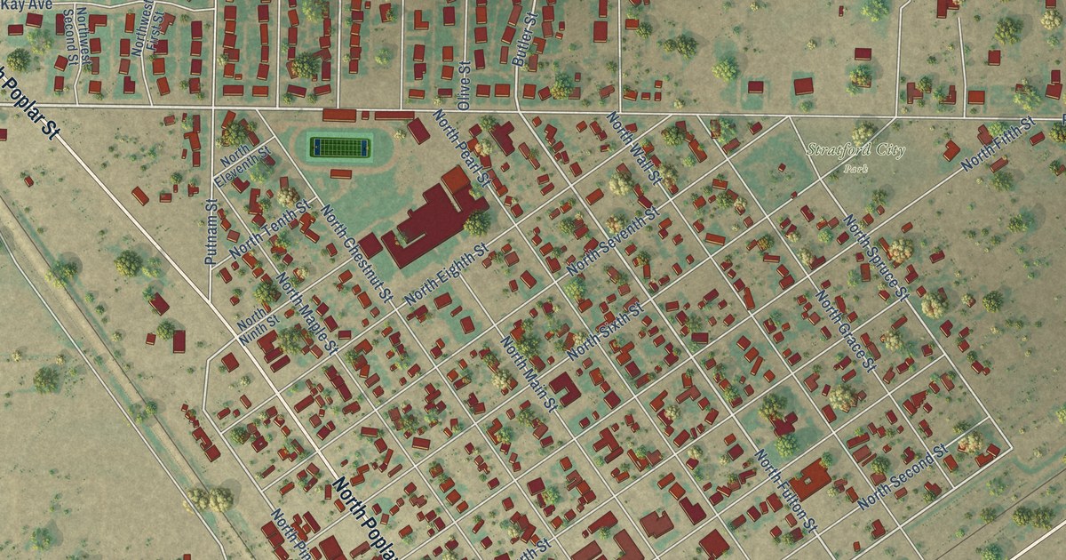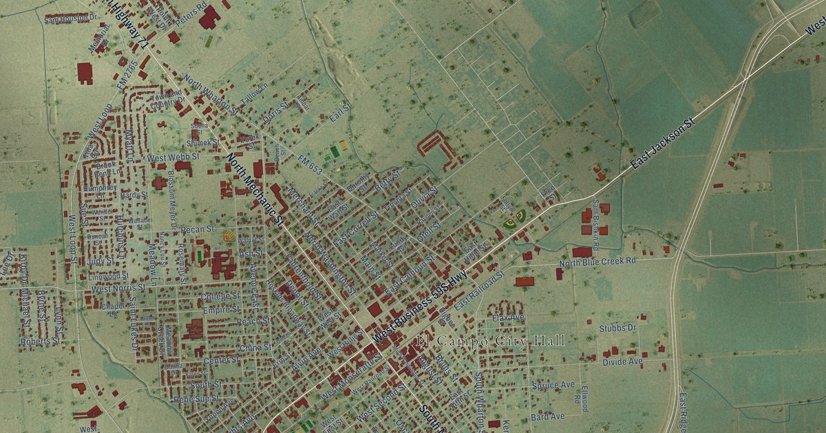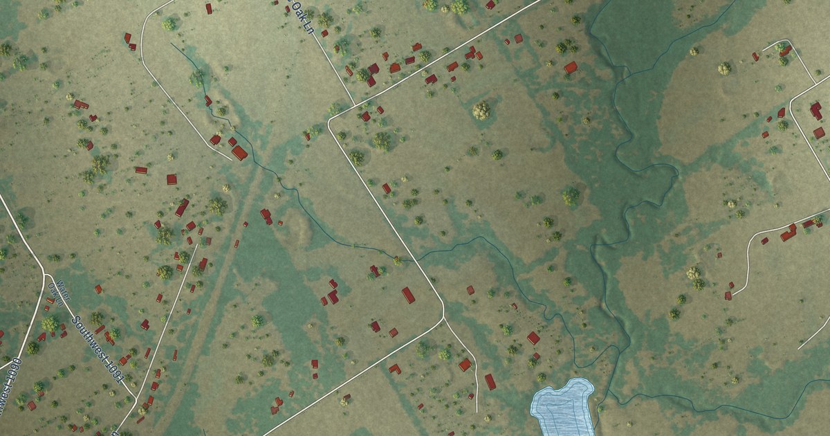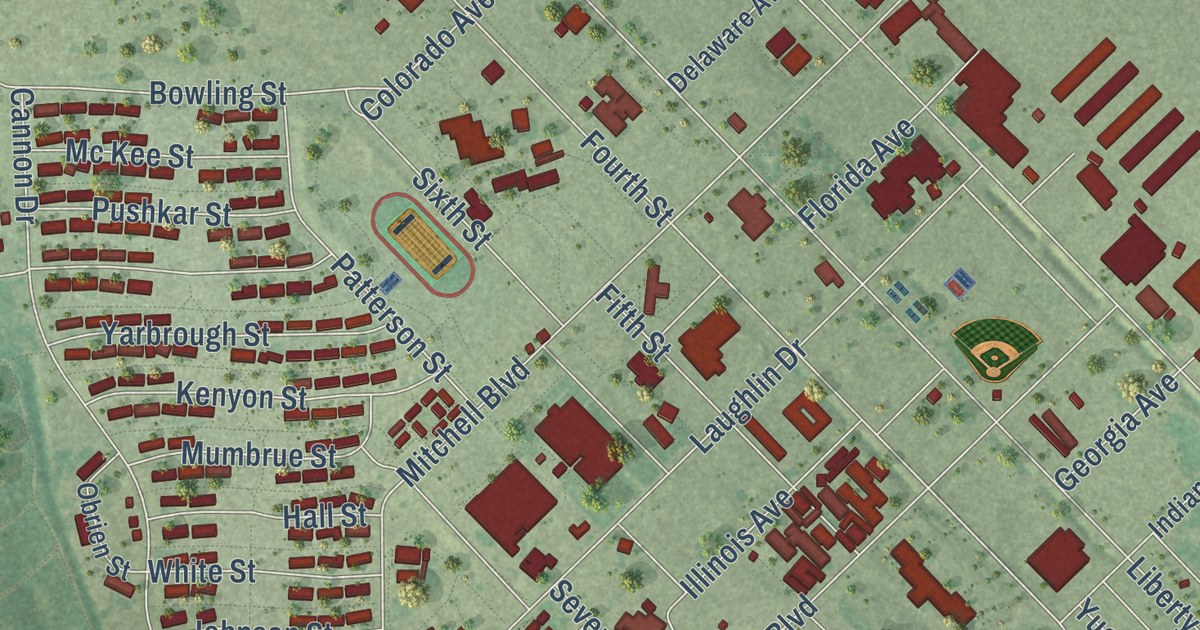
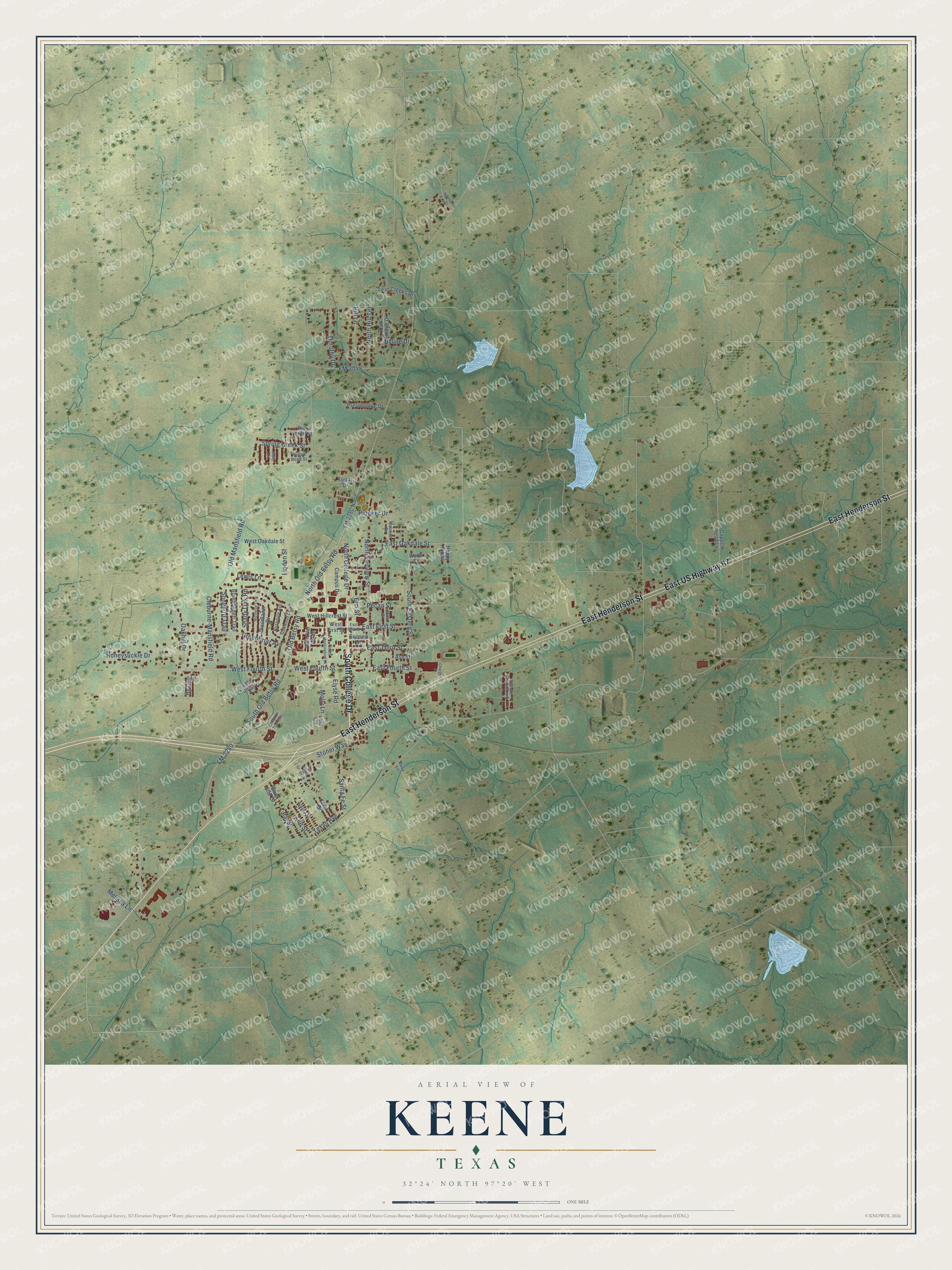
This beautifully detailed map of Keene, Texas was created in 2026 using aerial imagery combined with modern topographical, census, street and landmark data. It’s a one-of-a-kind view of Keene that combines accurate data with a vintage aesthetic. The map shows every building in its true location, many of the roads carry their names, and the shaded topographic relief shows the shape of the land.
Explore an aerial view of Keene, Texas
On the map you’ll find Keene Cemetery, along with South College Drive, East Henderson Street, East US Highway 67, North Old Betsy Road, Old Betsy Road, FM 2280 North, South Eastern Street, West Fourth Street, Old Mansfield Road, East Maple Street, West Hillcrest Street, and more. If you look closely you can even find your house accurately drawn in its correct location. Zoom in on the preview to look for yours.
Did you know this piece of Keene, Texas history?
From the Handbook of Texas: "The first settlers to reach the area, Jeremiah Easterwood and his family, arrived in 1852."
Take a closer look at the Keene map
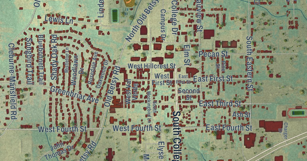
Street names on the Keene, Texas map
These names are printed on the map of Keene, Texas.
Streets and roads: South College Drive, East Henderson Street, East US Highway 67, North Old Betsy Road, West Fourth Street, Old Betsy Road, Stoner Way, South Eastern Street, Old Mansfield Road, East Third Street, FM 2280, South Old Betsy Road.
More street names, A to Z
Alaska Street, Ash Street, Bluebonnett Trail, Blue Star Drive, Campus Drive, Charger Drive, Chisholm Trail Ests, Cleburne-Mansfield Road, Copper Head Lane, Dorothy Drive, East First Street, East Fourth Street, East Oakdale Street, Elm Street, Elyse Road, FM 2280 North, FM 3048, Greenbriar Avenue, Happy Hollow, Heather Lane, Hill Lane, Honeysuckle Drive, Hyline Drive, Iowa Street, Jenny Drive, John Thomas Drive, Lee Street, Lela Circle, Lewis Lane, Linden Street, Maurice Street, Melissa Lane, Mistletoe Lane, Molly Lane, North College Drive, Northcrest Drive, North Fairview Street, North Hill Terrace, Oakhill Drive, Oak Ridge Drive, Oakwood Drive, Pecan Grove Street, Pecan Street, Pine Bluff Street, Pine Street, Pioneer Drive, Pleasant Meadows Mhp, Presidential Drive, Ray Street, Rosedale Avenue, Ruby Lane, Santa Fe Street, Second Street, Shady Oak Road, Songbird Trail, South Mockingbird Lane, Spring Creek Street, Texas Avenue, Topaz Drive, Twin Creeks Drive, Wells Court, West First Street, West Hillcrest Street, West Oakdale Street, West Val Verde, Willow Bend Street, Woodlawn Drive.
See the Keene, Texas map on a wall
The Keene map as an 18 x 24 inch print in a black frame.

This beautifully detailed map of Keene makes an attractive addition to your office, library, or den, and it can even be used to teach children the geography and history of the area. It also makes a great gift for someone who left Keene and still calls it home. When you’re done exploring, click here to get your copy of the Keene map.