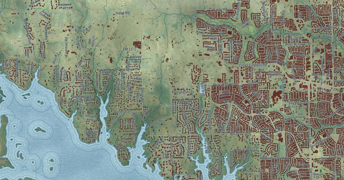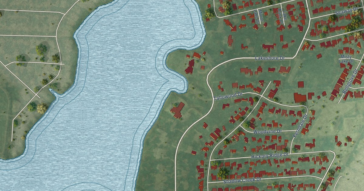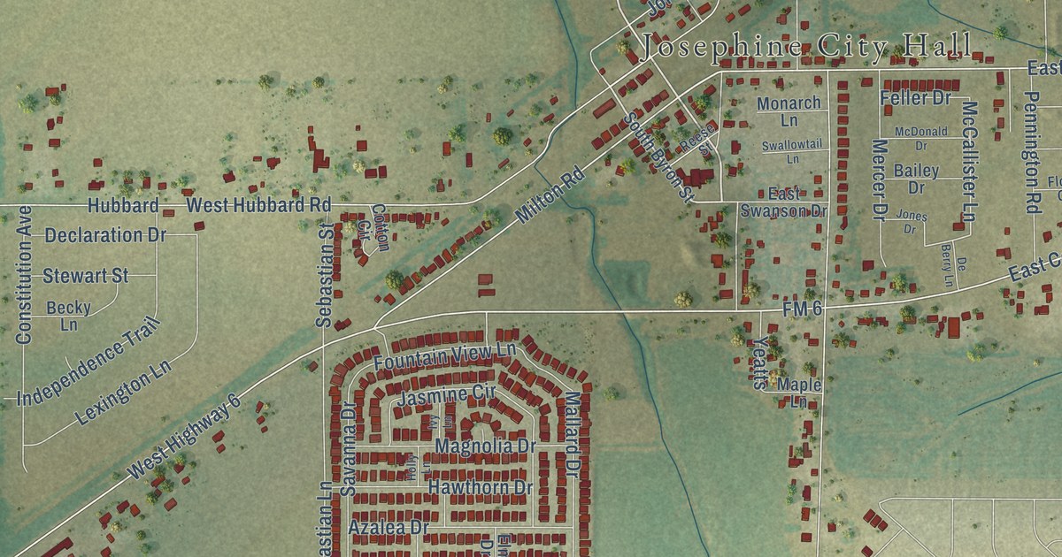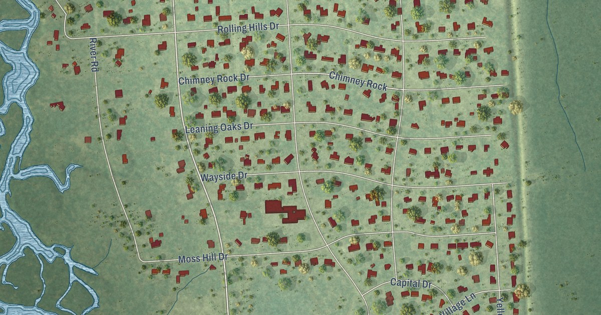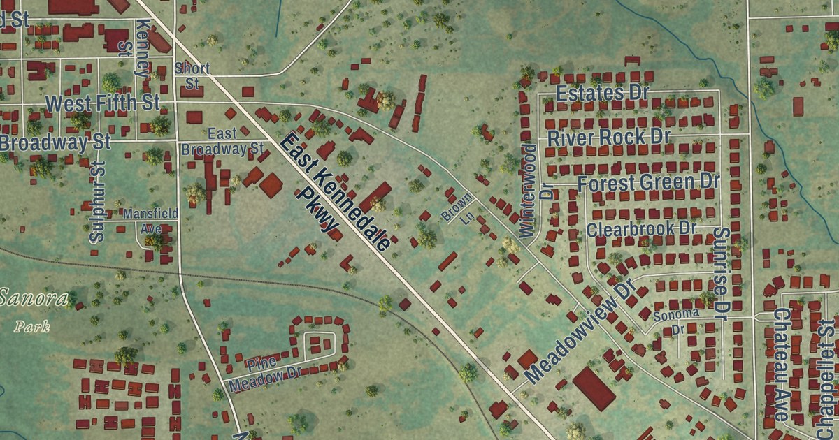
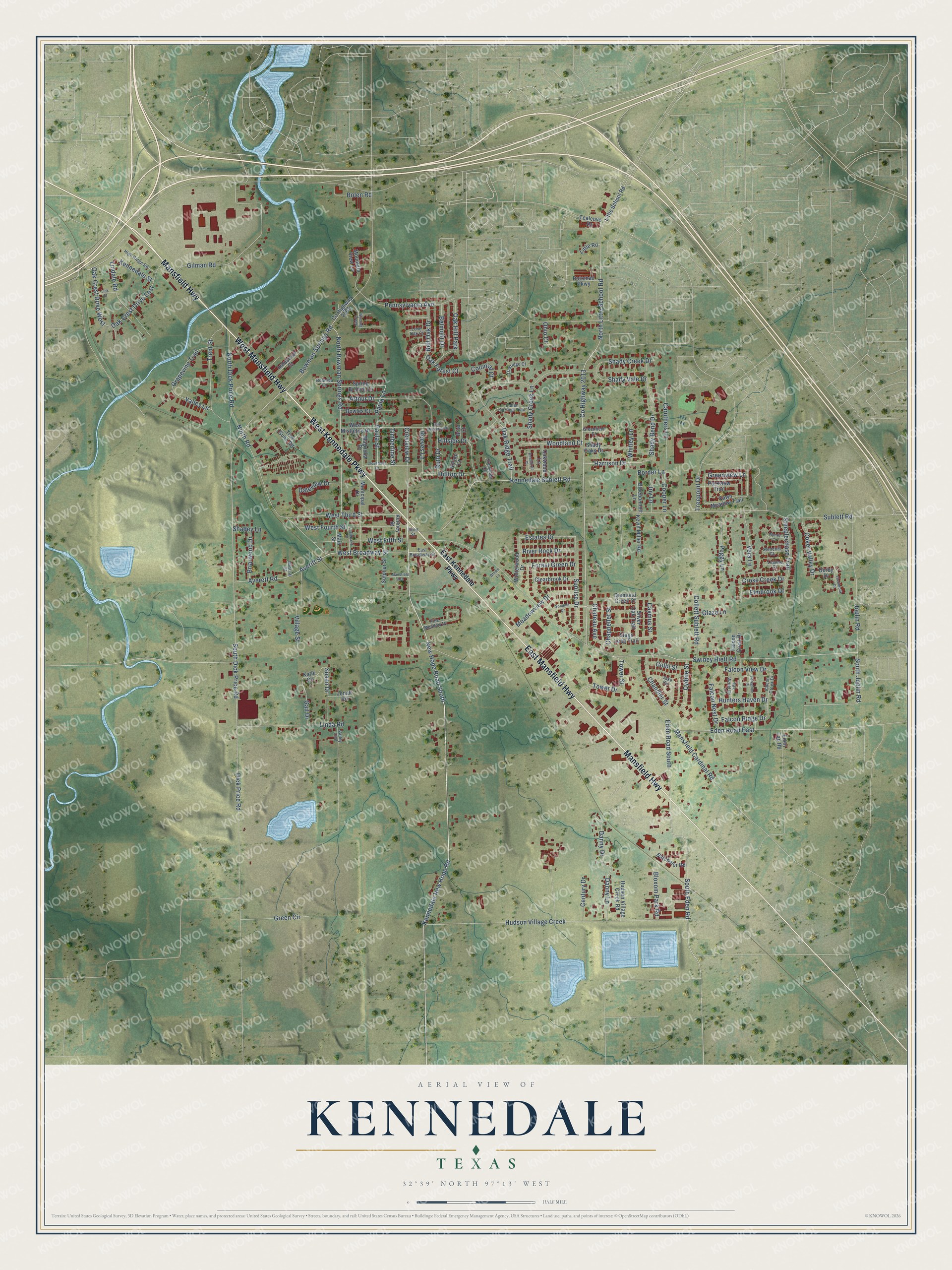
This beautifully detailed map of Kennedale, Texas was created in 2026 using aerial imagery combined with modern topographical, census, street and landmark data. It’s a one-of-a-kind view of Kennedale that combines accurate data with a vintage aesthetic. The map shows every building in its true location, many of the roads carry their names, and the shaded topographic relief shows the shape of the land.
Explore an aerial view of Kennedale, Texas
On the map you’ll find Sanora Park, along with West Mansfield Highway, Mansfield Highway, East Mansfield Highway, West Kennedale Parkway, New Hope Road South, Kennedale New Hope Road, Crestview Drive, West Broadway Street, North Dick Price Road, South Dick Price Road, North Little School Road, and more. If you look closely you can even find your house accurately drawn in its correct location. Zoom in on the preview to look for yours.
Did you know this piece of Kennedale, Texas history?
From the Handbook of Texas: "The rail line eventually built a station and section house in Kennedale."
Take a closer look at the Kennedale map
Street and place names on the Kennedale, Texas map
These names are printed on the map of Kennedale, Texas.
Places: Sanora Park and Oak Hill Park.
Streets and roads: West Mansfield Highway, Mansfield Highway, East Mansfield Highway, West Kennedale Parkway, New Hope Road South, Kennedale New Hope Road, Crestview Drive, West Broadway Street, North Dick Price Road, South Dick Price Road, North Little School Road, Oak Crest Drive West.
More street names, A to Z
Arthur Drive, Averett Road, Averitt Street, Batchelor Road, Bell Oak Drive, Belmont Drive, Bloxom Park Road, Bluebonnett Lane, Bolen Road, Border Lane, Bowles Court, Bowman Springs Road, Briar Court, Briarwood Drive, Brown Lane, Caruthers Lane, Caylebaite Street, Caymus Street, Century Drive, Chandler Street, Chappellet Street, Chateau Avenue, Clearbrook Drive, Cloverlane Drive, Coker Valley Drive, Colbi Street, Collett Sublett Road, Colonial Court, Cooper Lane, County Highway 2013, County Highway 2065, Creekside Court, Cross Creek Drive, Cydnie Street, Daleview Drive, Danny Drive, Danny Lane, Derby Drive, Diamond Creek Court, Dick Price Road, East Broadway Street, East Kennedale Parkway, East Mistletoe Drive, Eden Road East, Eden Road South, Eden Tap Road, Elmbrook Drive, Estates Drive, Falcon Creek Drive, Falcon Crest Drive, Falcon Nest Drive, Falcon Ridge Drive, Falcon View Drive, Fawn Meadow Trail, Forest Green Drive, Fox Wood Drive, Gail Drive, Gilman Road, Glaze Lane, Glenbrook Drive, Grapevine Trail, Green Circle, Greenfield Court, Greenview Lane, Harrison Drive, High Ridge Road, Hillside Drive, Hilltop Court, Hilltop Drive, Hudson Village Creek, Hudson Village Creek Road, Hunters Haven Drive, Indian Springs Trail, Industrial Court, Jake Circle, Jonah Road, Joplin Road, Joy Lane, Katie Circle, Kennedale Street, Kennedale Sublett Road, Kenney Street, Kevin Miller Road, Leanne Court, Lindale Road, Linda Road, Link Street, Little Road, Little School Road, Lone Oak Court, Magnolia Drive, Main Street, Mansfield Avenue, Mansfield Cardinal Road, Meadowview Drive, Mineral Street, Mountain View Lane, Municipal Drive, North Bowman Springs Road, North Road, Oak Crest Drive East, Oak Forest Court, Oakridge Court, Oak Ridge Trail, Oakwood Lane, Ohio Court, Parkview Trail, Paula Lane, Paula Street, Peachtree Court, Peggy Lane, Pennsylvania Avenue, Peregrine Place, Pine Meadow Drive, Potomac Parkway, Reeves Lane, River Rock Drive, Rolanda Lane, Ruth Drive, Shadey Lane, Shady Bend Drive, Shady Creek Drive, Shady Creek Lane, Shady Oaks Drive, Shady Vale Drive, Short Street, Silver Oak Trail, Sonoma Drive, South Eden Road, South Joplin Road, Spring Branch Lane, Stags Leap Trail, Steeplechase Trail, Stonehill Court, Sublett Road, Sulphur Street, Sunrise Drive, Susan Drive, Swiney Hiett Road, Tealcove Drive, Timberline Street, Tower Drive, Tower Street, Treepoint Drive, Trent Street, True Gunn Road, Valley Lane, Valley Trail, Vera Lane, Village Street, Wendy Court, West Fifth Street, West Fourth Street, West Mistletoe Drive, West Third Street, Whitley Lane, Winding Creek, Winterwood Drive, Woodland Court.
See the Kennedale, Texas map on a wall
The Kennedale map as an 18 x 24 inch print in a black frame.

This beautifully detailed map of Kennedale makes an attractive addition to your office, library, or den, and it can even be used to teach children the geography and history of the area. It also makes a great gift for anyone who grew up in Kennedale or moved away. When you’re done exploring, click here to get your copy of the Kennedale map.