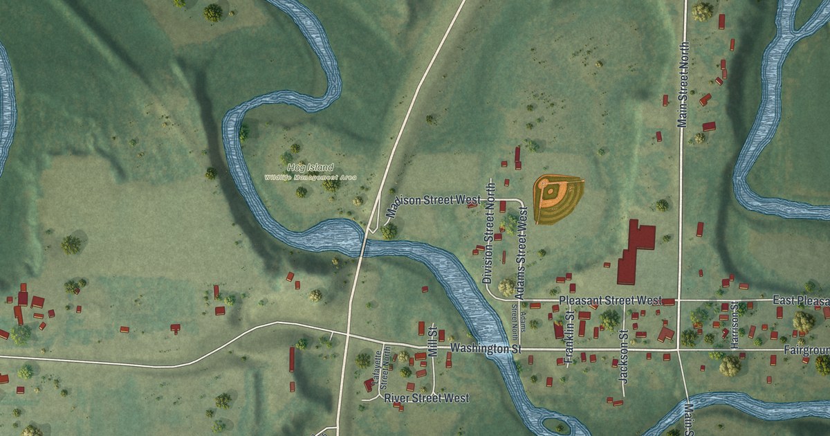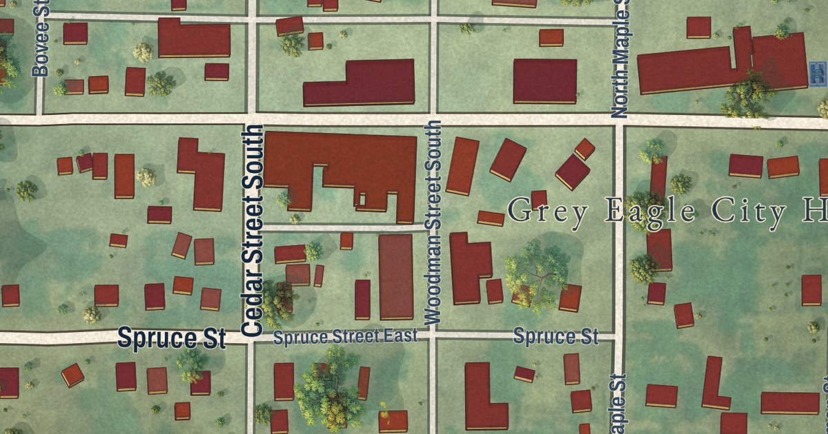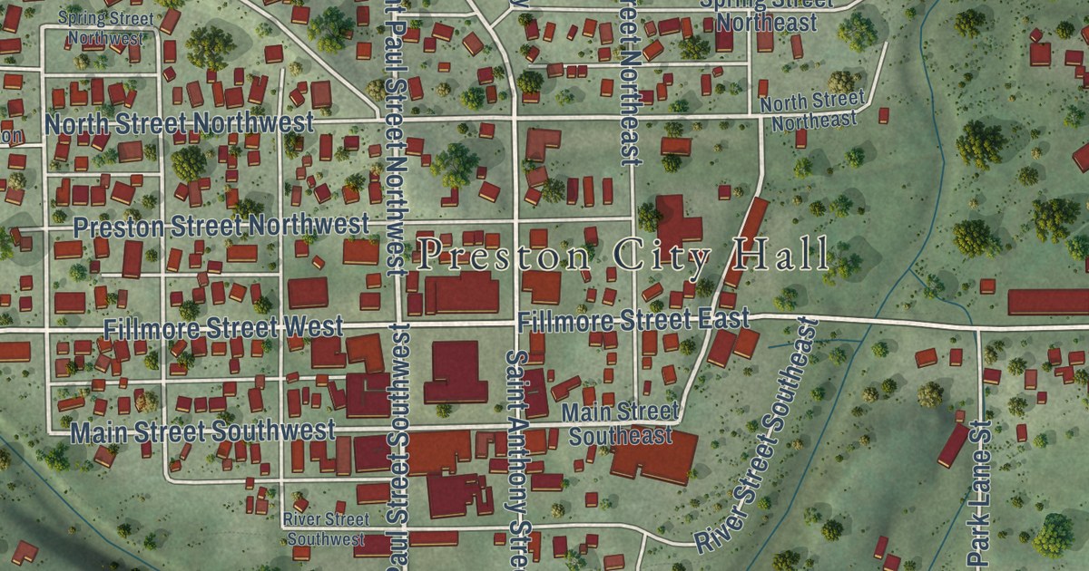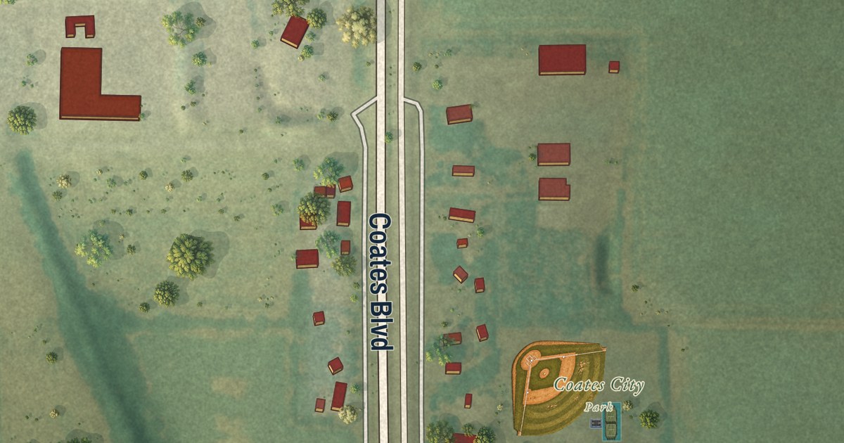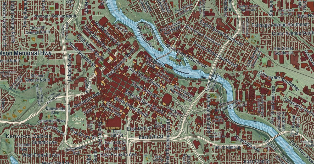
This beautifully detailed map of Minneapolis, Minnesota was created in 2026 using aerial imagery combined with modern topographical, census, street and landmark data. It’s a one-of-a-kind view of Minneapolis that combines accurate data with a vintage aesthetic. The map shows every building in its true location, many of the roads carry their names, and the shaded topographic relief shows the shape of the land.
Explore an aerial view of Minneapolis, Minnesota
On the map you’ll find Calhoun Beach, Hillside Cemetery, Lake Hiawatha Park, Lakewood Cemetery, Loring Park, and Kenwood Gables, along with Hiawatha Avenue, Central Avenue Northeast, University Avenue Northeast, Olson Memorial Highway, West River Parkway, East Minnehaha Parkway, and more. If you look closely you can even find your house accurately drawn in its correct location. Zoom in on the preview to look for yours.
Did you know this piece of Minneapolis, Minnesota history?
From Minnesota Geographic Names: "The city of Minneapolis was incorporated under an act of March 2, 1866, and its first election of officers was held February 19, 1867. It was enlarged, through union of the former cities of Minneapolis and St. Anthony, by a legislative act approved February 28, 1872, and the new city council was organized April 9, 1872."
Take a closer look at the Minneapolis map
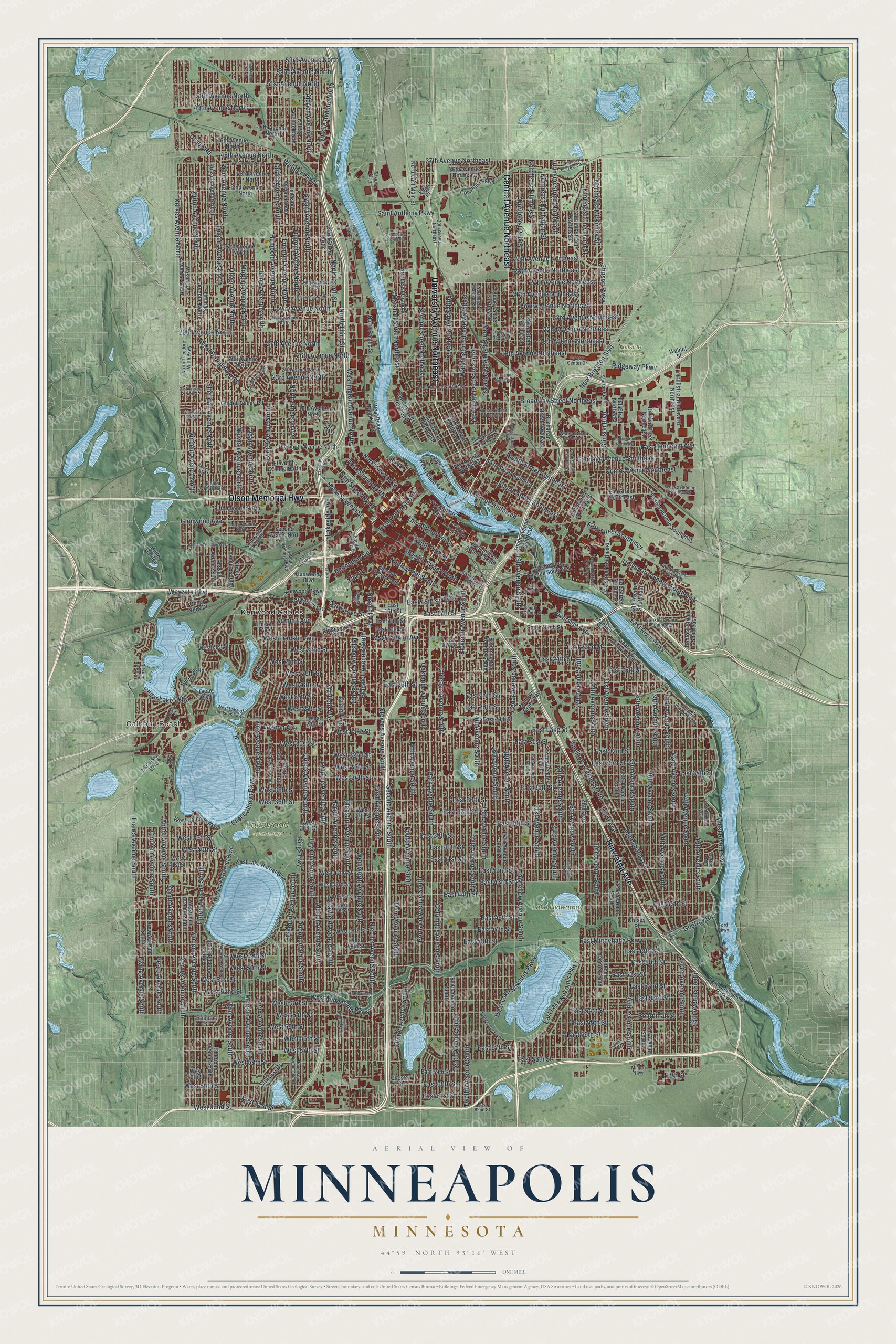
Street and place names on the Minneapolis, Minnesota map
These names are printed on the map of Minneapolis, Minnesota.
Places: Calhoun Beach, Hillside Cemetery, Lake Hiawatha Park, Lakewood Cemetery, Loring Park and Kenwood Gables.
Streets and roads: Hiawatha Avenue, Central Avenue Northeast, University Avenue Northeast, Olson Memorial Highway, West River Parkway, East Minnehaha Parkway, Park Avenue South, 13th Avenue South, Fifth Avenue South, East Lake Street, West Minnehaha Parkway, West 50th Street.
More street names, A to Z
13th Avenue Northeast, 14th Avenue Northeast, 14th Avenue South, 15th Avenue South, 15th Avenue Southeast, 16th Avenue South, 17th Avenue North, 17th Avenue South, 17th Street, 18th Avenue North, 18th Avenue Northeast, 18th Avenue South, 19th Avenue Northeast, 19th Avenue South, 20th Avenue Northeast, 20th Avenue South, 21st Avenue North, 21st Avenue South, 22nd Avenue Northeast, 22nd Avenue South, 23rd Avenue North, 23rd Avenue Northeast, 23rd Avenue South, 24th Avenue North, 24th Avenue South, 25th Avenue North, 25th Avenue South, 26th Avenue North, 26th Avenue Northeast, 26th Avenue South, 27th Avenue North, 27th Avenue Northeast, 27th Avenue South, 27th Avenue Southeast, 28th Avenue, 28th Avenue Northeast, 29th Avenue North, 29th Avenue Northeast, 29th Avenue South, 30th Avenue North, 30th Avenue Northeast, 30th Avenue South, 31st Avenue Northeast, 31st Avenue South, 32nd Avenue South, 33rd Avenue North, 33rd Avenue South, 34th Avenue North, 34th Avenue South, 35th Avenue South, 36th Avenue Northeast, 36th Avenue South, 37th Avenue North, 37th Avenue Northeast, 37th Avenue South, 38th Avenue South, 39th Avenue South, 40th Avenue South, 41st Avenue South, 42nd Avenue North, 42nd Avenue South, 43rd Avenue North, 43rd Avenue South, 44th Avenue North, 44th Avenue South, 45th Avenue North, 45th Avenue South, 46th Avenue North, 46th Avenue South, 47th Avenue North, 47th Avenue South, 49th Avenue North, 50th Avenue North, 51st Avenue North, 52nd Avenue North, 53rd Avenue North, Abbott Avenue South, Aldrich Avenue North, Aldrich Avenue South, Beard Avenue South, Bedford Street Southeast, Blaisdell Avenue South, Bloomington Avenue South, Boardman Street, Bossen Terrace, Broadway Street Northeast, Bryant Avenue North, Bryant Avenue South, Buchanan Street Northeast, Burnham Road, Burton Lane, Butler Garden, Cedar Avenue South, Cedar Lake Parkway, Cedar Shore Drive, Cedar View Drive, Chester Street, Chestnut Avenue West, Chicago Avenue South, Chowen Avenue South, Clinton Avenue South, Colfax Avenue North, Colfax Avenue South, Columbia Parkway, Columbus Avenue South, Como Avenue Southeast, Crosby Place, Dean Boulevard, Dean Court, Dight Avenue, Dorman Avenue South, Drew Avenue South, Dunwoody Boulevard, Dupont Avenue North, Dupont Avenue South, East 14th Street, East 15th Street, East 16th Street, East 17th Street, East 18th Street, East 19th Street, East 21st Street, East 22nd Street, East 24th Street, East 25th Street, East 26th Street, East 27th Street, East 28th Street, East 29th Street, East 31st Street, East 32nd Street, East 33rd Street, East 34th Street, East 35th Street, East 36th Street, East 37th Street, East 38th Street, East 39th Street, East 40th Street, East 41st Street, East 42nd Street, East 43rd Street, East 44th Street, East 45th Street, East 46th Street, East 47th Street, East 48th Street, East 49th Street, East 50th Street, East 51st Street, East 52nd Street, East 53rd Street, East 54th Street, East 55th Street, East 56th Street, East 57th Street, East 58th Street, East 59th Street, East 60th Street, East 61st Street, East 62nd Street, East Calhoun Parkway, East Franklin Avenue, East Hennepin Avenue, East Island Avenue, East Lake Harriet Boulevard, East Lake Harriet Parkway, East Lake Nokomis Parkway, East River Parkway, East River Road, Edge Place, Edgewater Boulevard, Eighth Avenue North, Eighth Street Southeast, Eleventh Avenue North, Eleventh Avenue South, Eleventh Street South, Elliot Avenue South, Elm Street Southeast, Emerson Avenue North, Emerson Avenue South, Erie Street Southeast, Ewing Avenue South, Excelsior Boulevard, Farwell Avenue, Fifth Avenue North, Fifth Street, Fifth Street North, Fifth Street Northeast, Fifth Street Southeast, First Avenue North, First Avenue Northeast, First Avenue South, First Street North, First Street South, Ford Parkway, Fourth Avenue South, Fourth Street Northeast, Fourth Street Southeast, France Avenue South, Franklin Avenue Southeast, Franklin Terrace, Fremont Avenue North, Fremont Avenue South, Garfield Avenue, Garfield Avenue South, Garfield Street Northeast, Girard Avenue North, Girard Avenue South, Glenwood Avenue, Godfrey Road, Golden Valley Road, Grand Avenue, Grand Avenue South, Groveland Terrace, Hall Lane, Harriet Avenue South, Harrison Street Northeast, Harvard Street Southeast, Hennepin Avenue, Holmes Avenue South, Hoover Street Northeast, Humboldt Avenue North, Ilion Avenue North, Industrial Boulevard Northeast, Intercampus Transitway, Irving Avenue North, Irving Avenue South, Ivy Lane, James Avenue North, Jefferson Street Northeast, Johnson Street Northeast, Kasota Avenue Southeast, Kenwood Parkway, Kings Highway, Knox Avenue North, Knox Avenue South, Lagoon Avenue, Lake Place, Lakeside Avenue, Lakeside Avenue North, Lincoln Avenue, Linden Avenue West, Logan Avenue North, Longfellow Avenue South, Lowry Avenue North, Lowry Avenue Northeast, Lyndale Avenue North, Lyndale Avenue South, Main Street Northeast, Main Street Southeast, Marshall Street Northeast, Midtown Greenway, Military Highway, Minnehaha Avenue, Monroe Street Northeast, Morgan Avenue North, Morgan Avenue South, Nawadaha Boulevard, New Brighton Boulevard, Newton Avenue North, Nicollet Avenue, Nicollet Avenue South, Ninth Street South, Nokomis Avenue South, North Cedar Lake Road, Northeast Buchanan Street, Northeast Cleveland Street, Northeast Fillmore Street, Northeast Grand Street, Northeast Hollywood Avenue, Northeast Madison Street, Northeast Main Street, Northeast McKinley Street, Northeast Polk Street, North Emerson Avenue, North Fourth Street, North Pacific Street, North Second Street, North Seventh Street, North Theodore Wirth Parkway, North Third Street, Oak Grove Street, Oakland Avenue South, Oak Street Southeast, Oliver Avenue North, Oliver Avenue South, Osseo Road, Penn Avenue North, Penn Avenue South, Pillsbury Avenue South, Pleasant Avenue South, Plymouth Avenue North, Portland Avenue South, Quarry Center Drive, Queen Avenue North, Queen Avenue South, Quincy Street Northeast, Ramsey Street Northeast, Ridgeway Parkway, Ridgewood Avenue, Riverside Avenue, River Street, Robbins Street, Russell Avenue North, Russell Avenue South, Saint Anthony Parkway, Seabury Avenue South, Second Avenue North, Second Avenue South, Second Street Northeast, Second Street South, Seventh Street South, Sheridan Avenue North, Sheridan Avenue South, Sixth Street North, Sixth Street South, Sixth Street Southeast, Snelling Avenue South, South Fifth Street, South Fourth Street, South Minnehaha Park Drive, South Ninth Street, South Seventh Street, South Twelfth Street, Spruce Place, Stevens Avenue South, Stinson Boulevard, Stinson Parkway, Stinson Pwky, Summer Street Northeast, Summit Avenue, Sunrise Drive, Taft Street Northeast, Talmage Avenue Southeast, Taylor Street Northeast, Tenth Avenue South, Tenth Avenue Southeast, Third Avenue North, Third Avenue Northeast, Third Avenue South, Third Street North, Third Street South, Thomas Avenue North, Thomas Avenue South, Traffic Street Northeast, Twelfth Avenue South, Twelfth Avenue Southeast, University Avenue Southeast, Upton Avenue North, Upton Avenue South, Valleyview Place, Van White Memorial Boulevard, Vincent Avenue North, Vincent Avenue South, Walnut Street, Washburn Avenue North, Washburn Avenue South, Washington Avenue North, Washington Avenue South, Washington Avenue Southeast, Washington Street Northeast, Wayzata Boulevard, Webber Parkway, Weeks Avenue Southeast, Wentworth Avenue South, West 21st Street, West 22nd Street, West 24th Street, West 25th Street, West 26th Street, West 27th Street, West 28th Street, West 29th Street, West 31st Street, West 32nd Street, West 33rd Street, West 34th Street, West 35th Street, West 36th Street, West 37th Street, West 38th Street, West 39th Street, West 40th Street, West 41st Street, West 42nd Street, West 43rd Street, West 44th Street, West 45th Street, West 47th Street, West 48th Street, West 49th Street, West 51st Street, West 52nd Street, West 53rd Street, West 54th Street, West 55th Street, West 56th Street, West 57th Street, West 58th Street, West 59th Street, West 60th Street, West 61st Street, West 62nd Street, West Broadway Avenue, West Calhoun Parkway, West Franklin Avenue, West Island Avenue, West Lake Harriet Boulevard, West Lake Nokomis Parkway, West Lake of the Isles Parkway, West Lake Street, West River Road North, Winter Street Northeast, Xerxes Avenue North, Xerxes Avenue South, Yale Place, Zenith Avenue South.
See the Minneapolis, Minnesota map on a wall
The Minneapolis map as an 18 x 24 inch print in a black frame.

This beautifully detailed map of Minneapolis makes an attractive addition to your office, library, or den, and it can even be used to teach children the geography and history of the area. It also makes a great gift for anyone who grew up in Minneapolis or moved away. When you’re done exploring, click here to get your copy of the Minneapolis map.