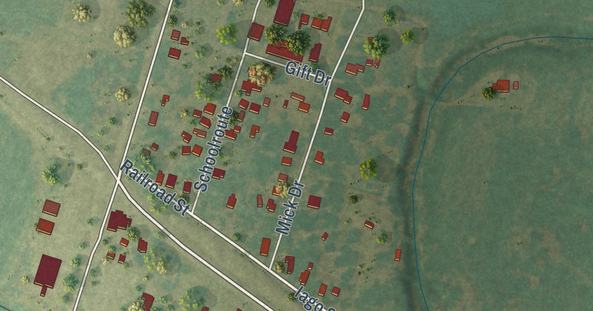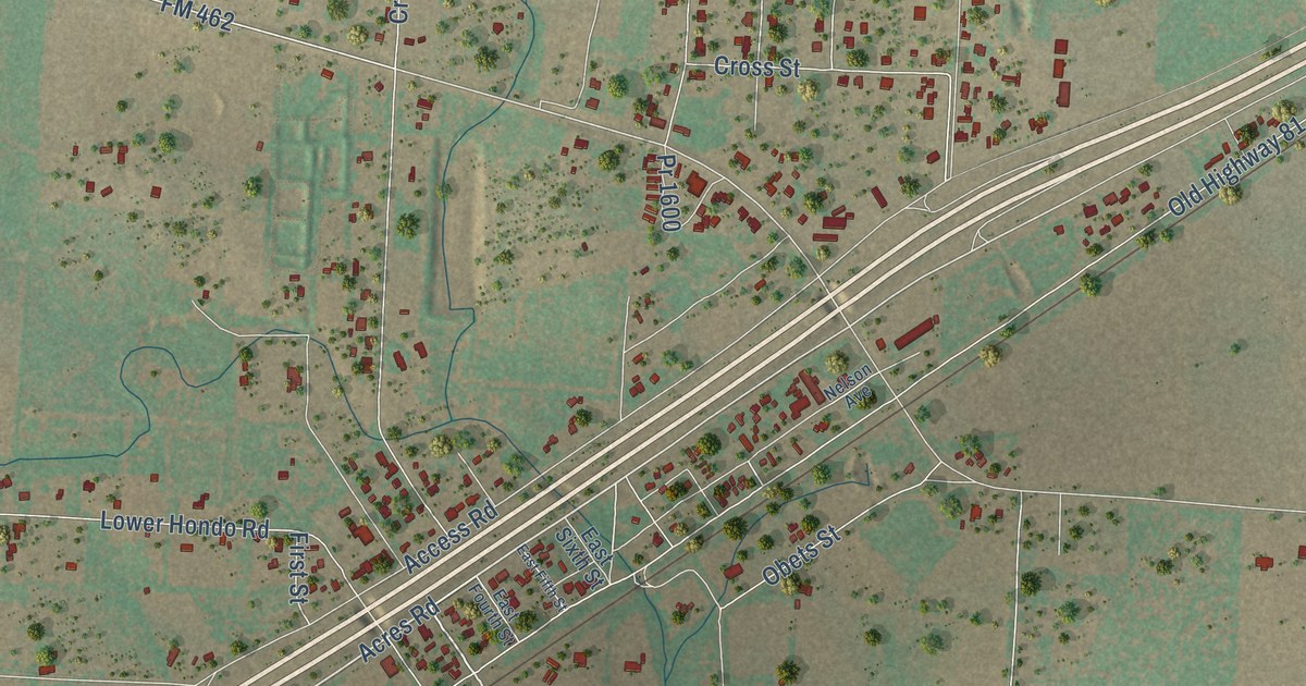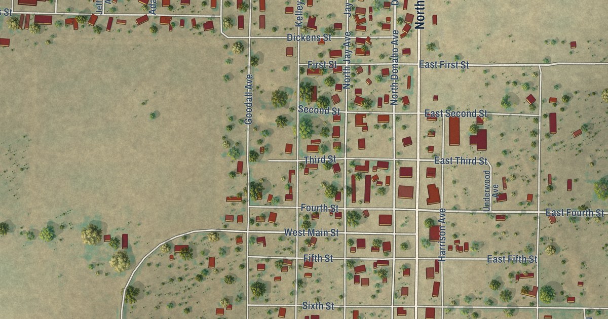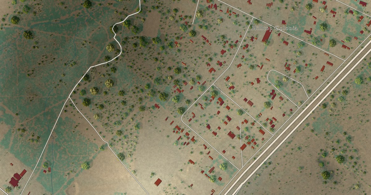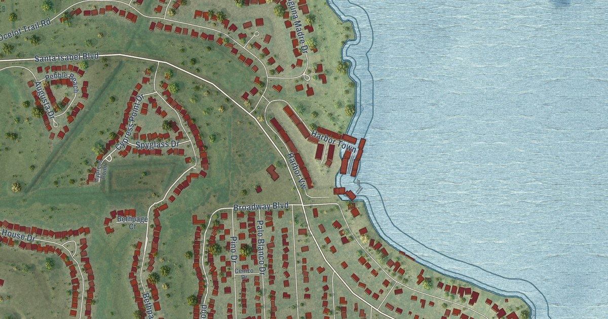
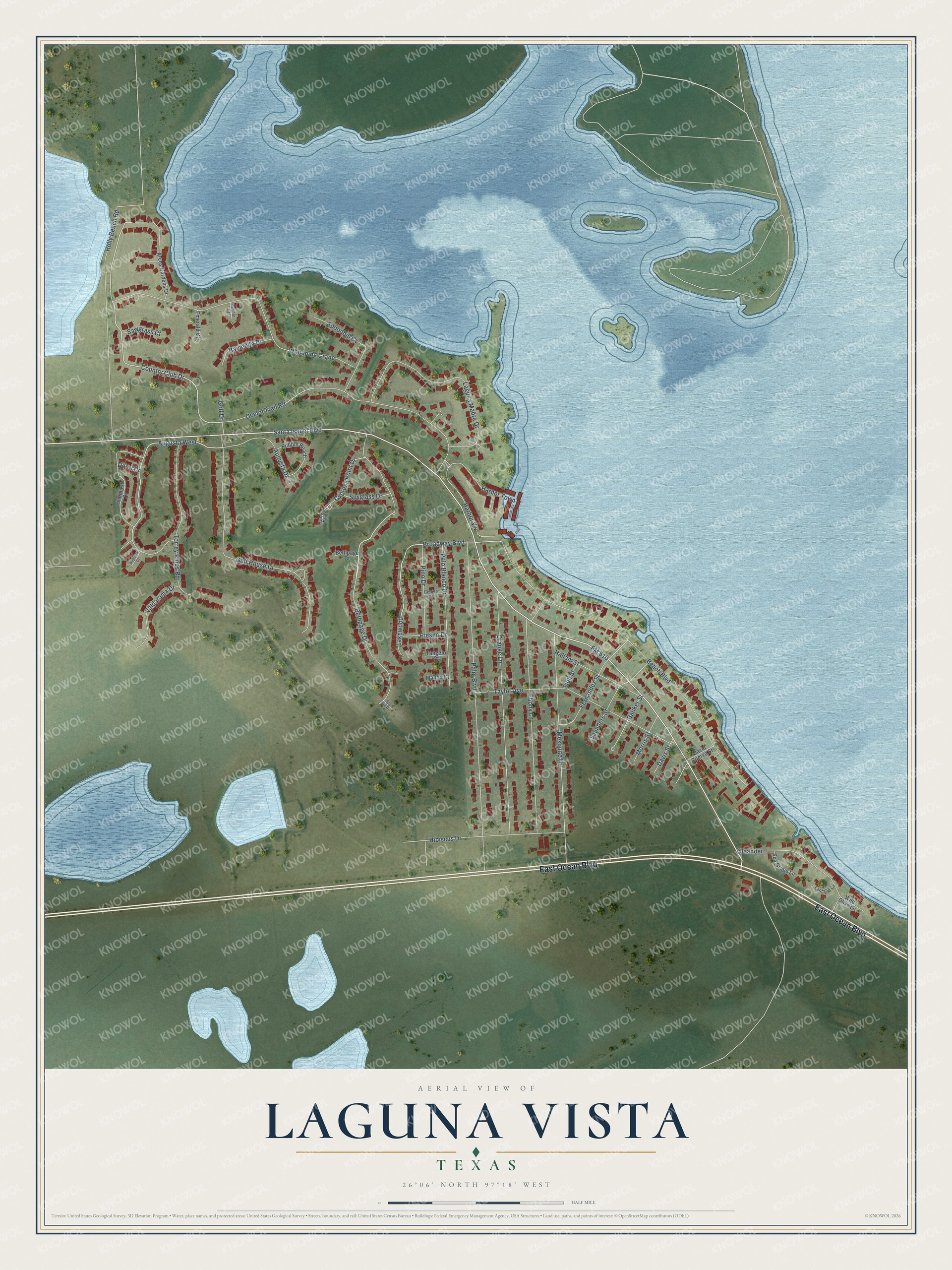
This beautifully detailed map of Laguna Vista, Texas was created in 2026 using aerial imagery combined with modern topographical, census, street and landmark data. It’s a one-of-a-kind view of Laguna Vista that combines accurate data with a vintage aesthetic. The map shows every building in its true location, many of the roads carry their names, and the shaded topographic relief shows the shape of the land.
Explore an aerial view of Laguna Vista, Texas
On the map you’ll find Lakewood and Augusta West, along with East Ocean Boulevard, Santa Isabel Boulevard, Bethpage Drive, Broadway Boulevard, Country Club Drive, Laguna Madre Drive, Cypress Point Drive, FM 510, Holly Beach Road, Beach Boulevard, and more. If you look closely you can even find your house accurately drawn in its correct location. Zoom in on the preview to look for yours.
Did you know this piece of Laguna Vista, Texas history?
From the Handbook of Texas: "Laguna Vista is on State Highway 100 and Farm Road 510 twenty miles east of San Benito and five miles northwest of Port Isabel overlooking Laguna Madre in eastern Cameron County. The community was settled in the early 1800s by Mexican salt traders who transported salt through the region to northern Mexico."
Take a closer look at the Laguna Vista map
Street names on the Laguna Vista, Texas map
These names are printed on the map of Laguna Vista, Texas.
Streets and roads: East Ocean Boulevard, Santa Isabel Boulevard, Bethpage Drive, Broadway Boulevard, Country Club Drive, Lakewood, Augusta West, Laguna Madre Drive, Cypress Point Drive, FM 510, Holly Beach Road, Beach Boulevard.
More street names, A to Z
Arcos Gardens Drive, Augusta Court, Augusta Drive, Banker Street, Bay Hill Drive, Bethpage Court, Cenizo Drive, Cypress Point, David Cuervo Street, Davis Street, Doral Drive, Ebony Lane, Emerald Court, Fernandez Street, Fresno Drive, Golf Drive, Golf House Drive, Hacienda Drive, Hallam Street, Harbor Town, Harbor Vw, Hibiscus Drive, Lantana Lane, Mango Court, Mesquite Drive, Morris Street, Ocelot Trail Road, Oleander, Orange Lane, Palm Boulevard, Palmer Court, Palo Blanco Drive, Pebble Beach, Pinehurst Drive, Pino Drive, Saunders Street, Sawgrass Court, Sea Grape Lane, Spoonbill Cv, Spyglass Drive, Stell Street, Tangelo Court, Taylor Avenue, Torrey Pines Road, Valdarama Drive, Whooping Crane, Wild Olive Lane.
See the Laguna Vista, Texas map on a wall
The Laguna Vista map as an 18 x 24 inch print in a black frame.

This beautifully detailed map of Laguna Vista makes an attractive addition to your office, library, or den, and it can even be used to teach children the geography and history of the area. It also makes a great gift for anyone with Laguna Vista roots. When you’re done exploring, click here to get your copy of the Laguna Vista map.