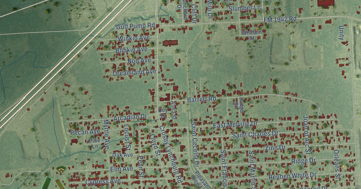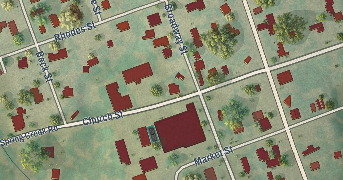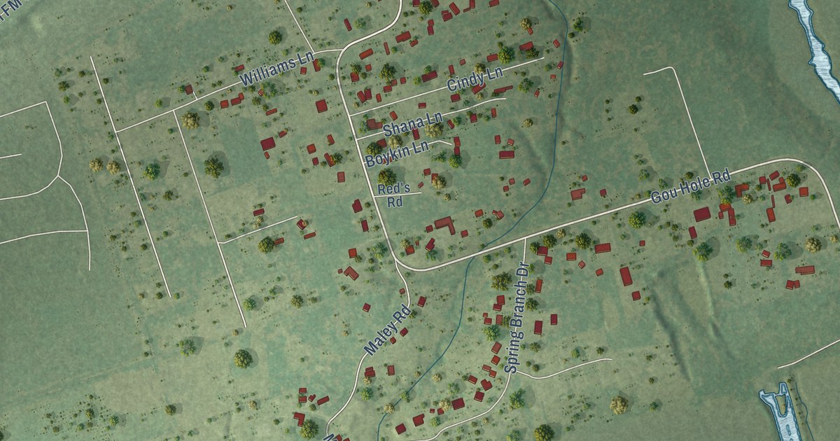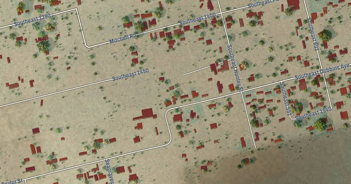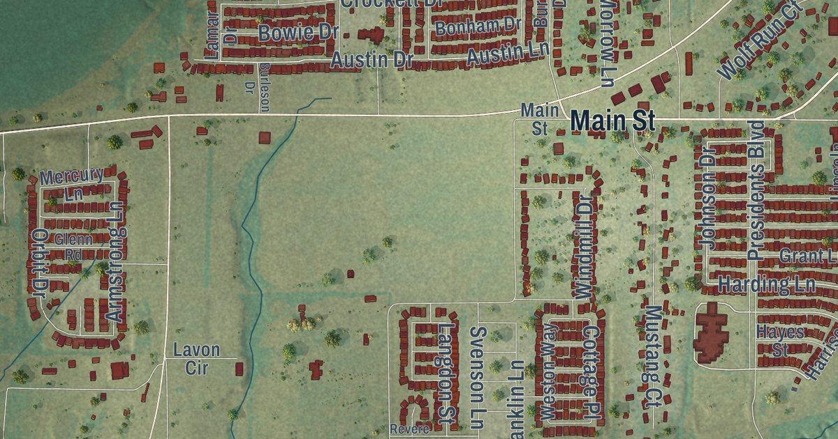
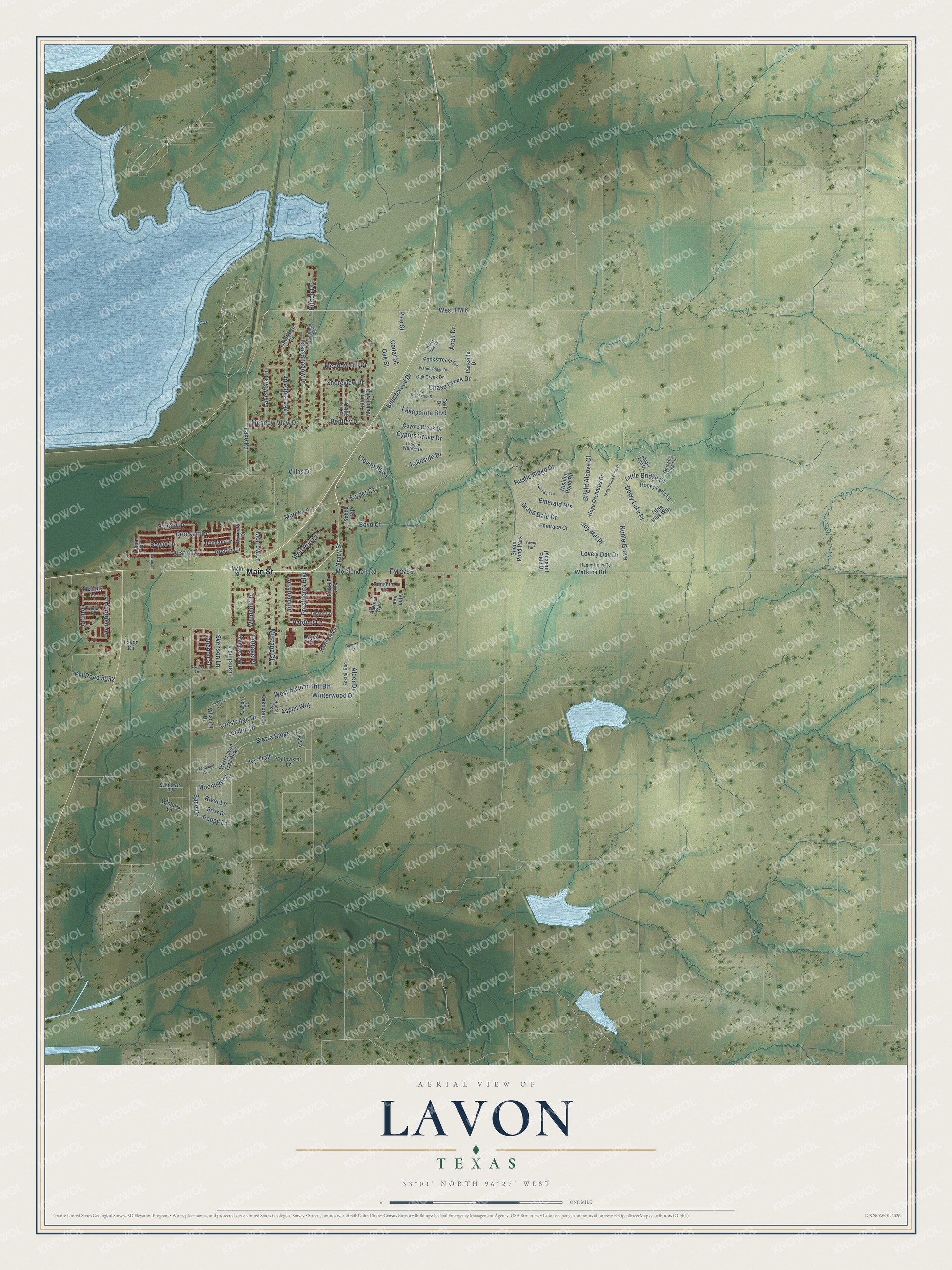
This beautifully detailed map of Lavon, Texas was created in 2026 using aerial imagery combined with modern topographical, census, street and landmark data. It’s a one-of-a-kind view of Lavon that combines accurate data with a vintage aesthetic. The map shows every building in its true location, many of the roads carry their names, and the shaded topographic relief shows the shape of the land.
Explore an aerial view of Lavon, Texas
On the map you’ll find Sierra Ridge, Moonlight Place, Hunter Trce, and West Autumn Hill Blf, along with Main Street, Harding Lane, Harrison Lane, Ivy Trail, Johnson Drive, Sage Drive, Sunshine Lane, Poppy Lane, and more. If you look closely you can even find your house accurately drawn in its correct location. Zoom in on the preview to look for yours.
Did you know this piece of Lavon, Texas history?
From the Texas Historical Commission: "The First Baptist Church of Lavon was organized on September 25, 1949, but the history of the church began with three other rural churches."
Take a closer look at the Lavon map
Street and place names on the Lavon, Texas map
These names are printed on the map of Lavon, Texas.
Places: Silent Pond Park.
Streets and roads: Main Street, Harding Lane, Johnson Drive, Moonlight Place, Sage Drive, Alder Drive, Poppy Lane, Sierra Ridge, Austin Lane, West Autumn Hill Blf, Ivy Trail, River Lane.
More street names, A to Z
Adair Drive, Alpine Way, Ample Elm Drive, Armstrong Lane, Aspen Way, Austin Drive, Beechwood Drive, Bentley Drive, Birkdale Lane, Bonham Drive, Bowie Drive, Boyd Court, Briar Drive, Bright Alcove Court, Brookview Drive, Burleson Drive, Burnett Drive, Camden Drive, Cedar Street, Chase Creek Drive, Colt Drive, Corn Silk Drive, Cottage Place, Coyote Creek Drive, Crestridge Drive, Crockett Drive, Cyprus Grove Drive, Dewy Lake Place, Elevon Parkway, Embrace Court, Emerald Heights, Faith Bud Lane, Fannin Drive, FM 2755, Forder Court, Foxtail Bnd, Franklin Lane, Glenn Road, Gracefly Sage Lane, Gracy Street, Grand Dale Drive, Grant Lane, Happy Holly Road, Harrison Lane, Hayes Street, Hidden Waters Drive, Hilltop Drive, Honey Falls Lane, Hope Orchards Drive, Hunter Trce, Ivory Brook Cove Drive, Joy Mill Place, Lakepointe Boulevard, Lake Ridge Drive, Lakeridge Drive, Lake Road, Lake Shadow Drive, Lakeside Drive, Lake Vista Lane, Lamar Drive, Langdon Street, Lavon Circle, Lily Lane, Lincoln Avenue, Little Bridge Drive, Little Hills Way, London Drive, Lovely Day Drive, McClendon Road, Meadow Hill Drive, Meadow View Drive, Mercury Lane, Moore Lane, Morrow Lane, Mustang Court, Noble Grove, Oak Creek Drive, Oakhurst Drive, Oak Street, Orbit Drive, Parkside Drive, Pine Street, Pleasant Field Drive, Presidents Boulevard, Pvt Road 5397, Pvt Road 5532, Revere Lane, Rockstream Drive, Rolling Meadow Drive, Rustic Ridge Drive, School Road, Shoreview Drive, Summit Court, Sunflower Road, Sunshine Lane, Svenson Lane, Tawny Turn, Villas Drive, Vine Avenue, Waters Ridge Drive, Water View Drive, Watkins Road, West FM 6, West Lavon Trail Parkway, Weston Way, Wilshire Drive, Windmill Drive, Winterwood Drive, Wishing Pond Road, Wisteria Lane, Wolf Run Court, Woodland Avenue, Yellowstar Lane.
See the Lavon, Texas map on a wall
The Lavon map as an 18 x 24 inch print in a black frame.

This beautifully detailed map of Lavon makes an attractive addition to your office, library, or den, and it can even be used to teach children the geography and history of the area. It also makes a great gift for anyone with Lavon roots. When you’re done exploring, click here to get your copy of the Lavon map.