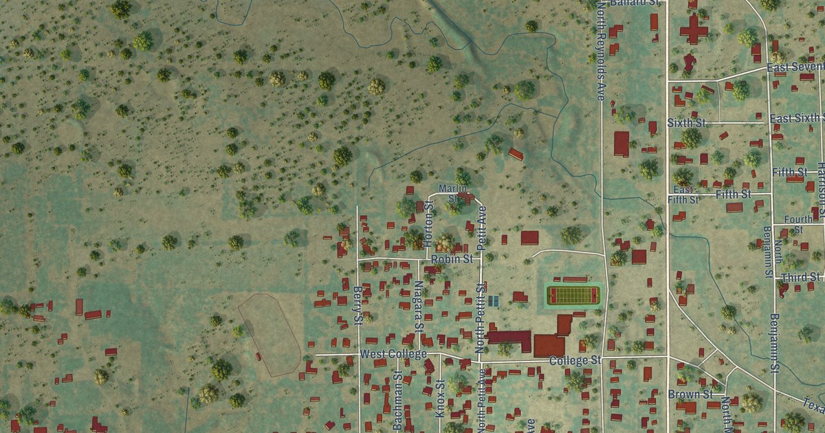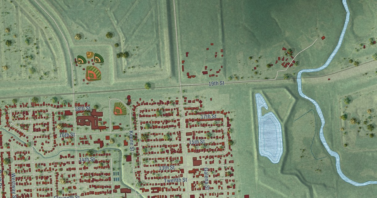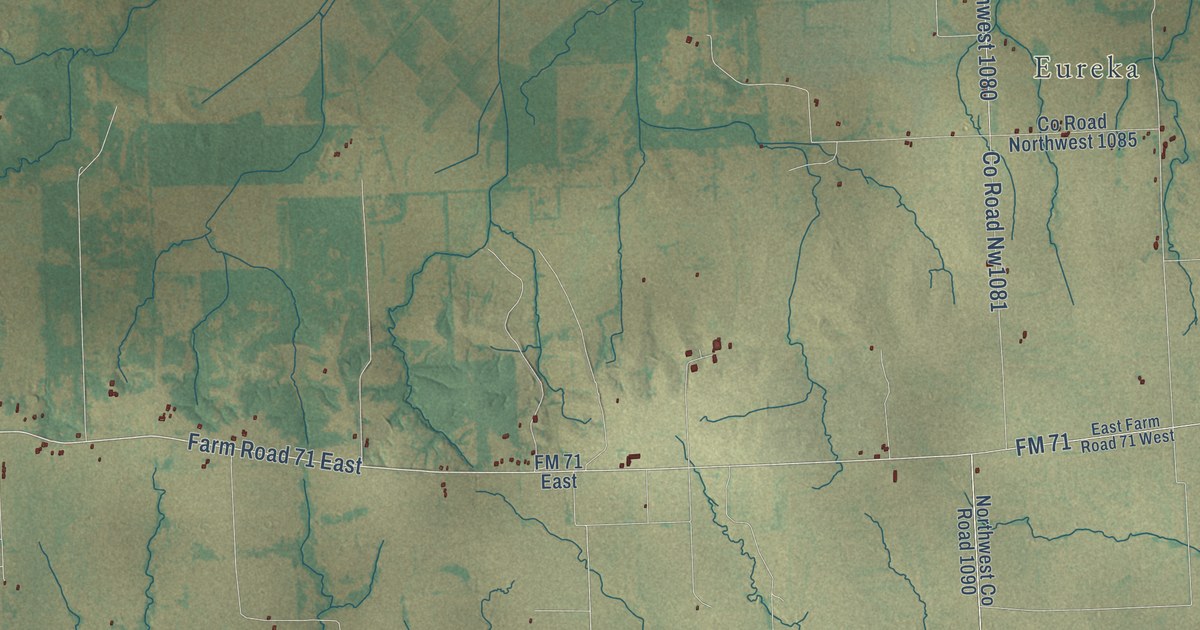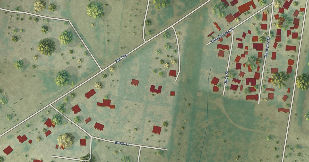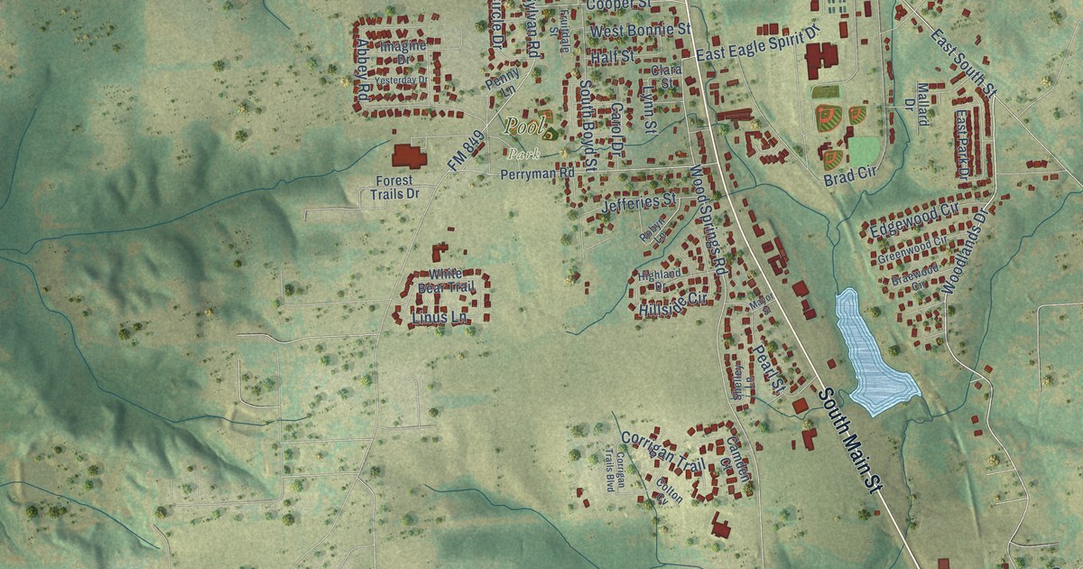
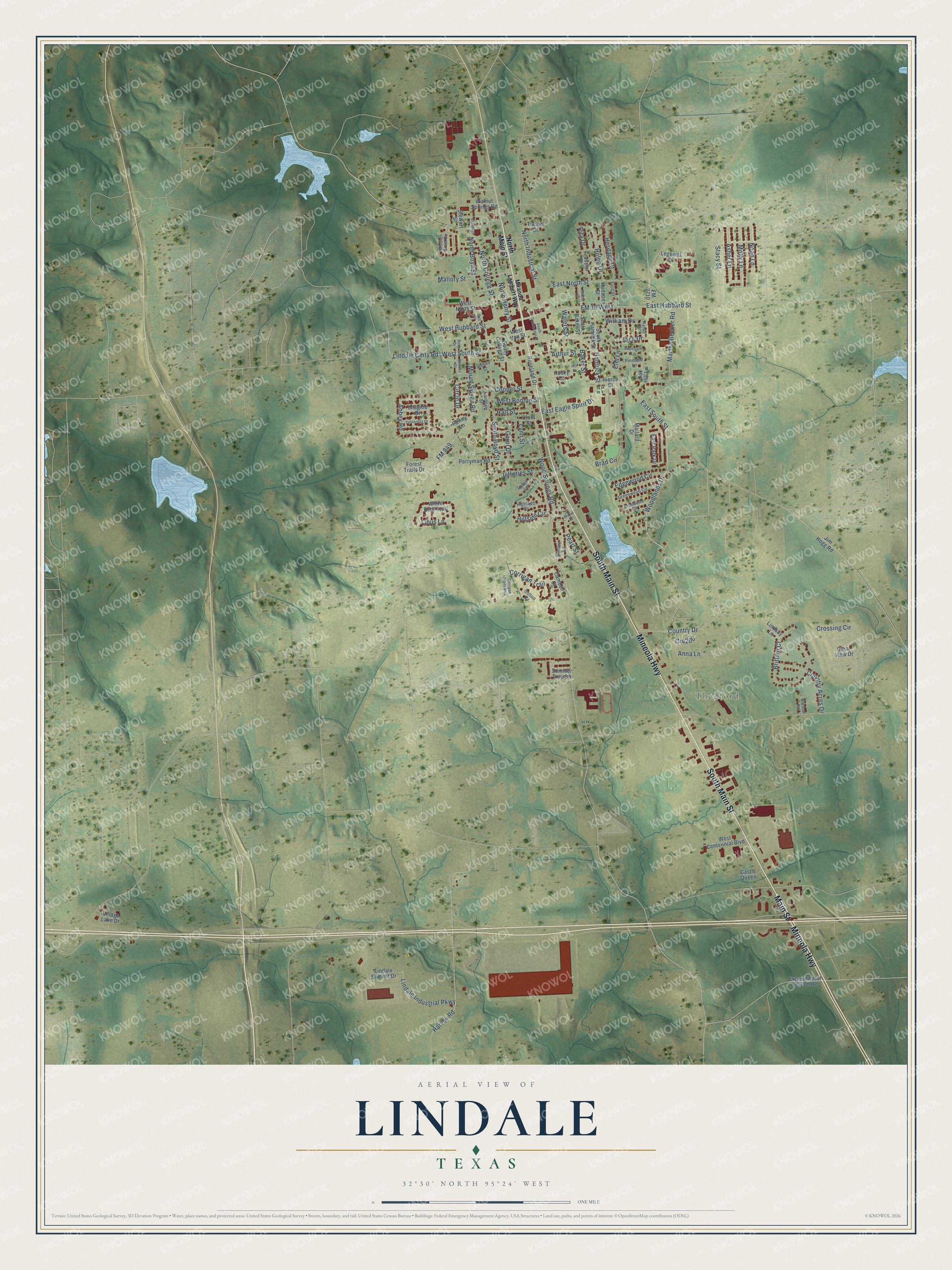
This beautifully detailed map of Lindale, Texas was created in 2026 using aerial imagery combined with modern topographical, census, street and landmark data. It’s a one-of-a-kind view of Lindale that combines accurate data with a vintage aesthetic. The map shows every building in its true location, many of the roads carry their names, and the shaded topographic relief shows the shape of the land.
Explore an aerial view of Lindale, Texas
On the map you’ll find Thedford and Pool Park, along with Mineola Highway, South Main Street, Main Street, East South Street, Woodlands Drive, West South Street, Lindale Cmty Road, North College Street, Abbey Road, South Boyd Street, and more. If you look closely you can even find your house accurately drawn in its correct location. Zoom in on the preview to look for yours.
Did you know this piece of Lindale, Texas history?
From the Handbook of Texas: "The site, originally part of the Thomas Burbridge survey, was settled as early as 1873, when the Lyndale post office opened with John M. Davis as postmaster."
Take a closer look at the Lindale map
Street and place names on the Lindale, Texas map
These names are printed on the map of Lindale, Texas.
Places: Thedford and Pool Park.
Streets and roads: Mineola Highway, South Main Street, Main Street, East South Street, Woodlands Drive, West South Street, Lindale Cmty Road, North College Street, Abbey Road, South Boyd Street, FM 849, Wood Springs Road.
More street names, A to Z
Anna Lane, Arthur Street, Asher Lane, Baker Street, Bell Street, Betts Drive, Bowers Street, Brad Circle, Braewood Circle, Brittain Court, Camden Court, Carol Drive, Castle Queen, Circle Drive, Clara Street, Clear View Drive, Colton Cv, Cooper Street, Corrigan Trail, Corrigan Trails Boulevard, Country Acres Drive, Country Drive, Cr4200, Crossing Circle, East Eagle Spirit Drive, East Hubbard Street, East North Street, East Park Drive, Edgewood Circle, Elizabeth Street, Elm Lane, Experimental Station Road, FM 16 West, FM 2710, Ford Street, Forest Trails Drive, Francis Drive, Fruitdale Street, Greenwood Circle, Half Street, Hamrick Street, Harvey Road, Helen Drive, Heritage Court, Highland Drive, Hillside Circle, Hill Street, Hudson Street, Husky Drive, Imagine Drive, Jack Drive, Jefferies Street, Jim Hogg Road, Legends Court, Lindale Industrial Parkway, Lindale Summit Drive, Lindsay Lane, Linus Lane, Lynn Street, Mallard Drive, Mallory Street, Martha Becker Road, Mayor Street, Miranda Lambert Way, Mission Crest Circle, Molly Lane, Mount Sylvan Road, Noah Lane, North Boyd Street, North Henry Street, North Industrial Street, North Main Street, Oak Hill Lane, Pearl Street, Penny Lane, Perryman Road, Pierce Street, Pineland Lane, Pittman Road, Randy Drive, Rita Drive, Robyn Lane, Roseland Drive, Shelley Lane, South Baker Street, South College Street, South Commerce Street, South Hamrick Street, Stacy Street, Stewart Street, Summer Tree Circle, Sweetgum Lane, Teresa Street, Tucker Street, Village Lake Drive, Walnut Springs Road, Waters Street, Wendy Street, West Bonnie Street, West Centennial Boulevard, West Hubbard Street, West North Street, West Van Street, White Bear Trail, William Drive, Yesterday Drive.
See the Lindale, Texas map on a wall
The Lindale map as an 18 x 24 inch print in a black frame.

This beautifully detailed map of Lindale makes an attractive addition to your office, library, or den, and it can even be used to teach children the geography and history of the area. It also makes a great gift for anyone with Lindale roots. When you’re done exploring, click here to get your copy of the Lindale map.