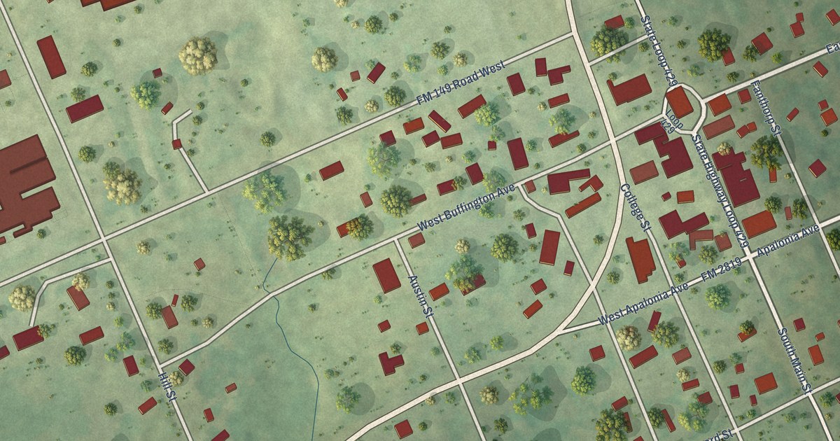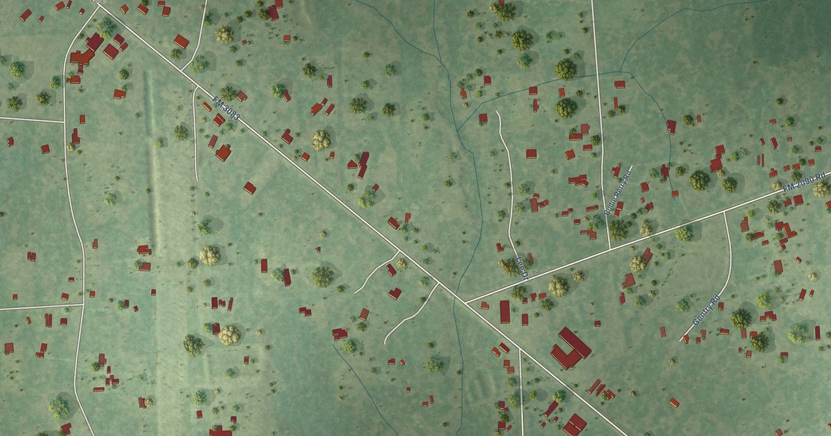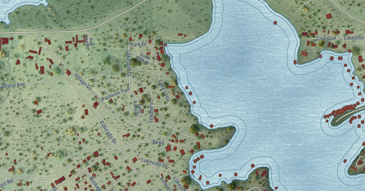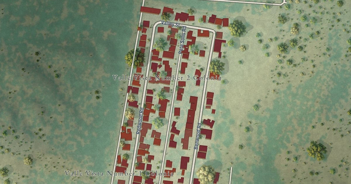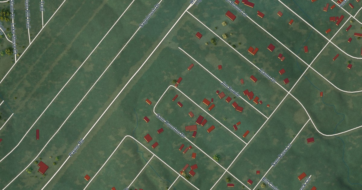
This beautifully detailed map of Log Cabin, Texas was created in 2026 using aerial imagery combined with modern topographical, census, street and landmark data. It’s a one-of-a-kind view of Log Cabin that combines accurate data with a vintage aesthetic. The map shows every building in its true location, many of the roads carry their names, and the shaded topographic relief shows the shape of the land.
Explore an aerial view of Log Cabin, Texas
On the map you’ll find Caney City and Davy Crockett Row, along with Melba Drive, Ennis Davis Drive, Jesse James Drive, Payne Road, FM 3054, Cherokee Lane, Goliad Street, West Travis Lane, Golaid Street, Alamo Drive, and more. If you look closely you can even find your house accurately drawn in its correct location. Zoom in on the preview to look for yours.
Did you know this piece of Log Cabin, Texas history?
Log Cabin started in the 1980s as Log Cabin Estates, a development for retirees. It was built on Cedar Creek Reservoir, between two of the lake’s arms, Caney Creek and Clear Creek. The new community incorporated in 1987 and soon set up a mayor and council. That’s from the Handbook of Texas.
Take a closer look at the Log Cabin map
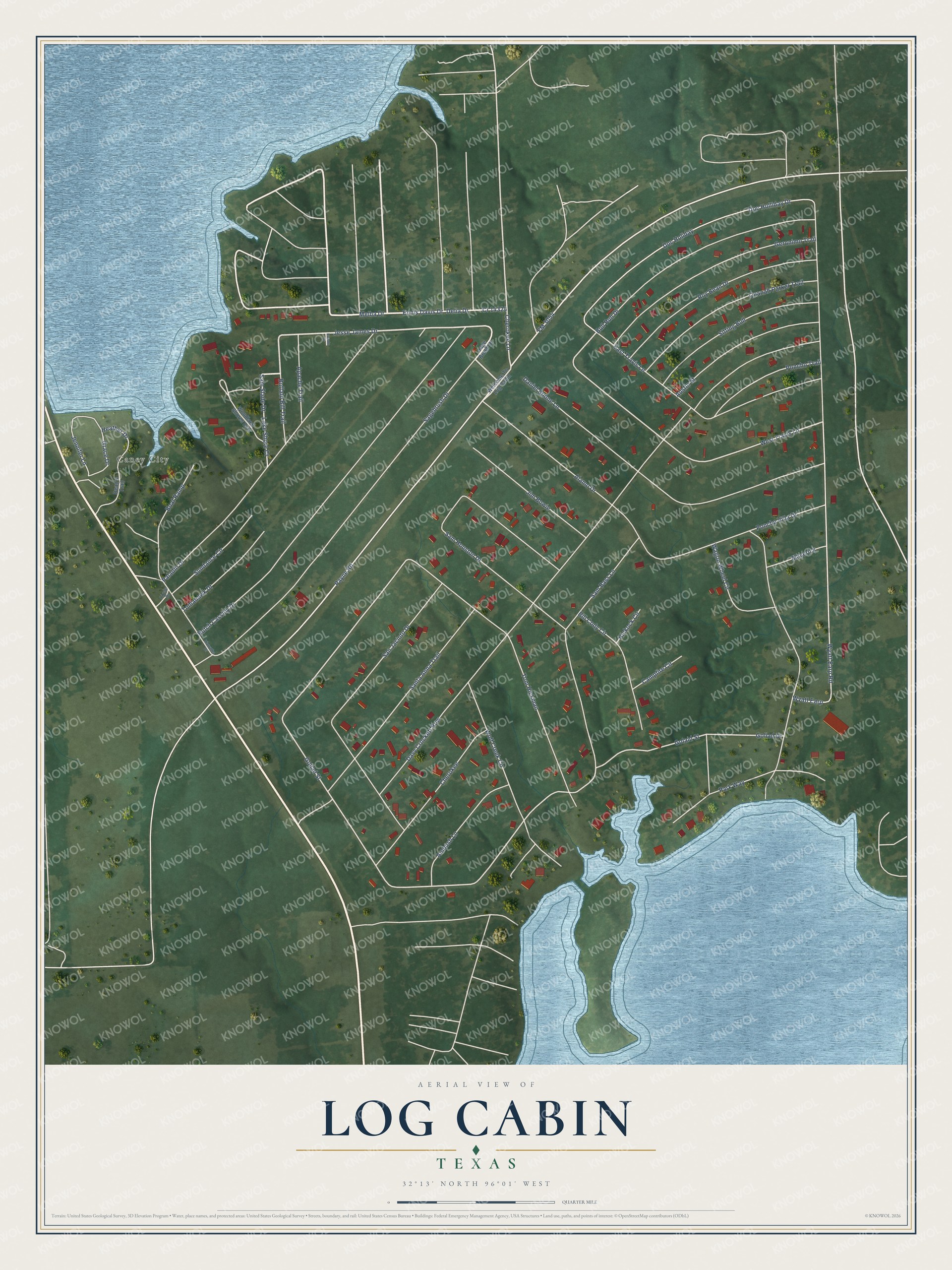
Street and place names on the Log Cabin, Texas map
These names are printed on the map of Log Cabin, Texas.
Places: Caney City.
Streets and roads: Melba Drive, Ennis Davis Drive, Jesse James Drive, Cr 14324, Payne Road, FM 3054, Cherokee Lane, Goliad Street, West Travis Lane, Golaid Street, Davy Crockett Row, Alamo Drive.
More street names, A to Z
Ambush Lane, Apache Trail, Austin Street, Bill Cody Circle, Boat Ramp, Buffalo Bill Trail, Bull Run Drive, Butch Cassidy Drive, Campfire Circle, Cherokee, Circle Drive, Daniel Boone Lane, Dean's Trail, Delia Drive, Doc Holiday, Doc Holliday Drive, East Travis Lane, Geronimo Trail, Goliad Drive, Grace Drive, Heather Drive, Hiawatha Drive, Hickock Circle, Jennifer Lane, Jim Bowie, Lake Shore Court, Laredo Drive, Maverick, Paladin Drive, Park Way, Poncho Trail, Poncho Villa Drive, Quanah Parker Trail, Roy Bean Drive, Sagebrush Drive, Sage Brush Drive, Sam Bass Lane, Sam Houston Drive, Sam Slade Drive, San Jacinto Drive, Santa Anna Trail, Sitting Bull, Sundance Circle, Tomahawk Drive, Tom Hickman, Wagon Wheel Circle, Welcome To Log Cabin, Wolf Creek Circle, Woodland Shores Ests, Wyatt Earp, Wyatt Earp Road.
See the Log Cabin, Texas map on a wall
The Log Cabin map as an 18 x 24 inch print in a black frame.

This beautifully detailed map of Log Cabin makes an attractive addition to your office, library, or den, and it can even be used to teach children the geography and history of the area. It also makes a great gift for anyone with Log Cabin roots. When you’re done exploring, click here to get your copy of the Log Cabin map.