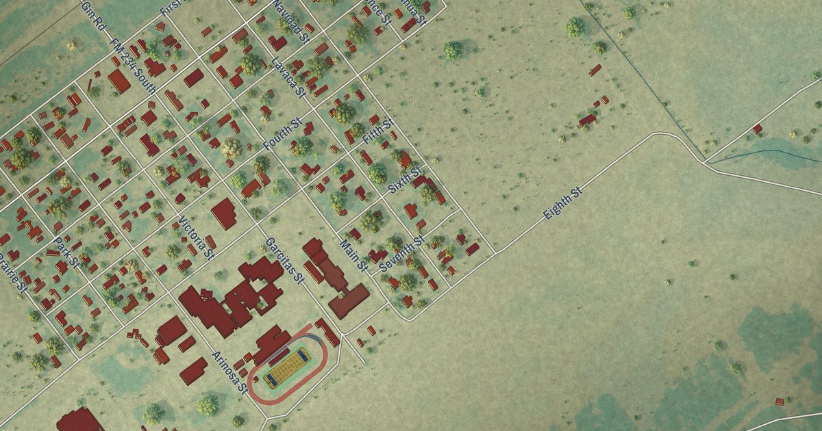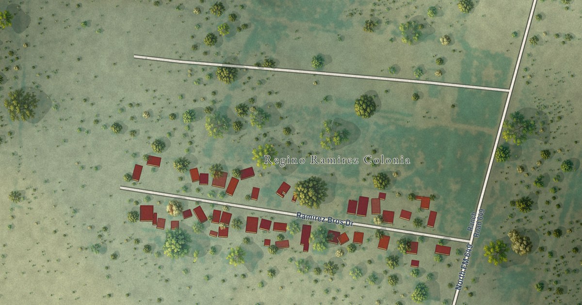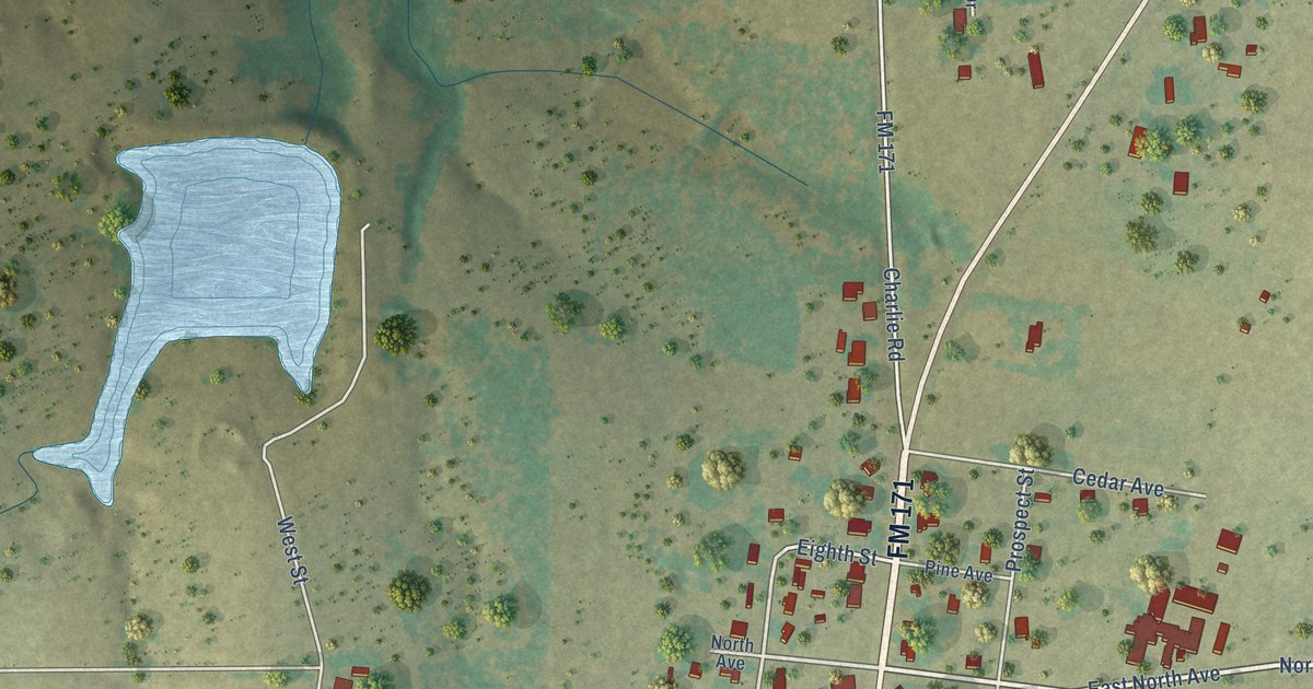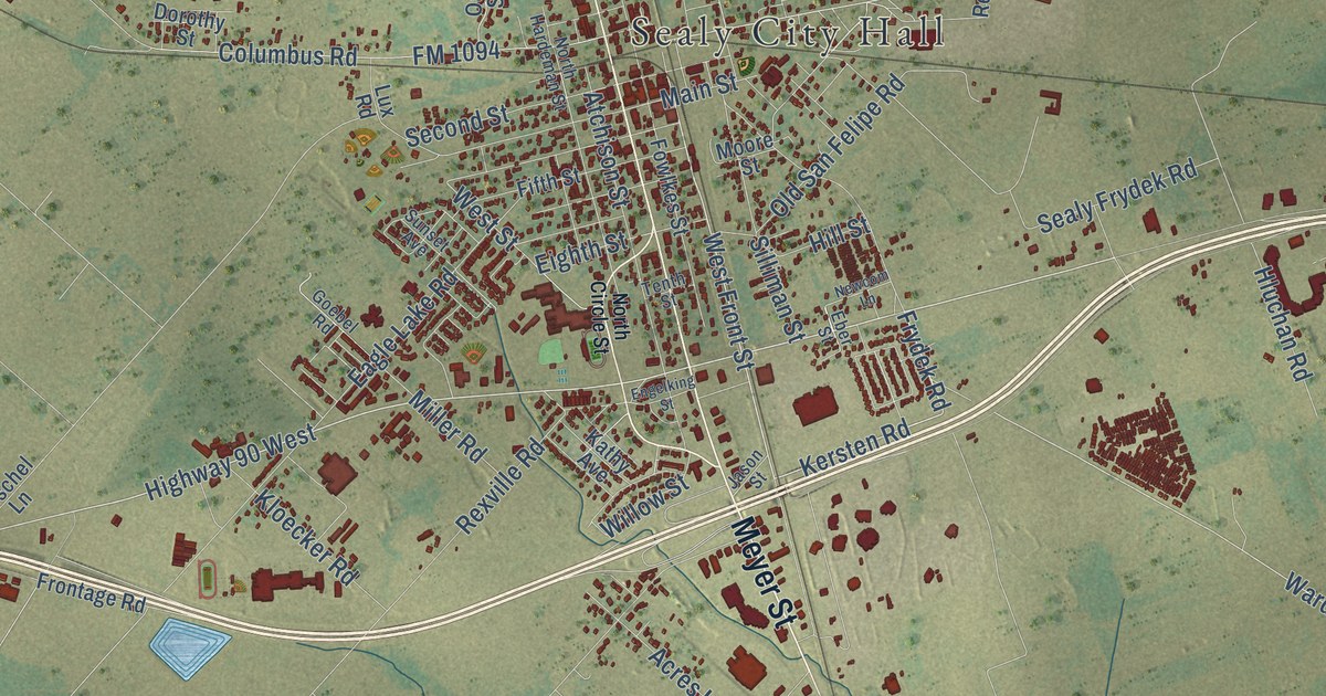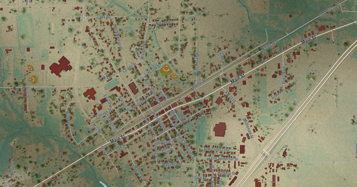
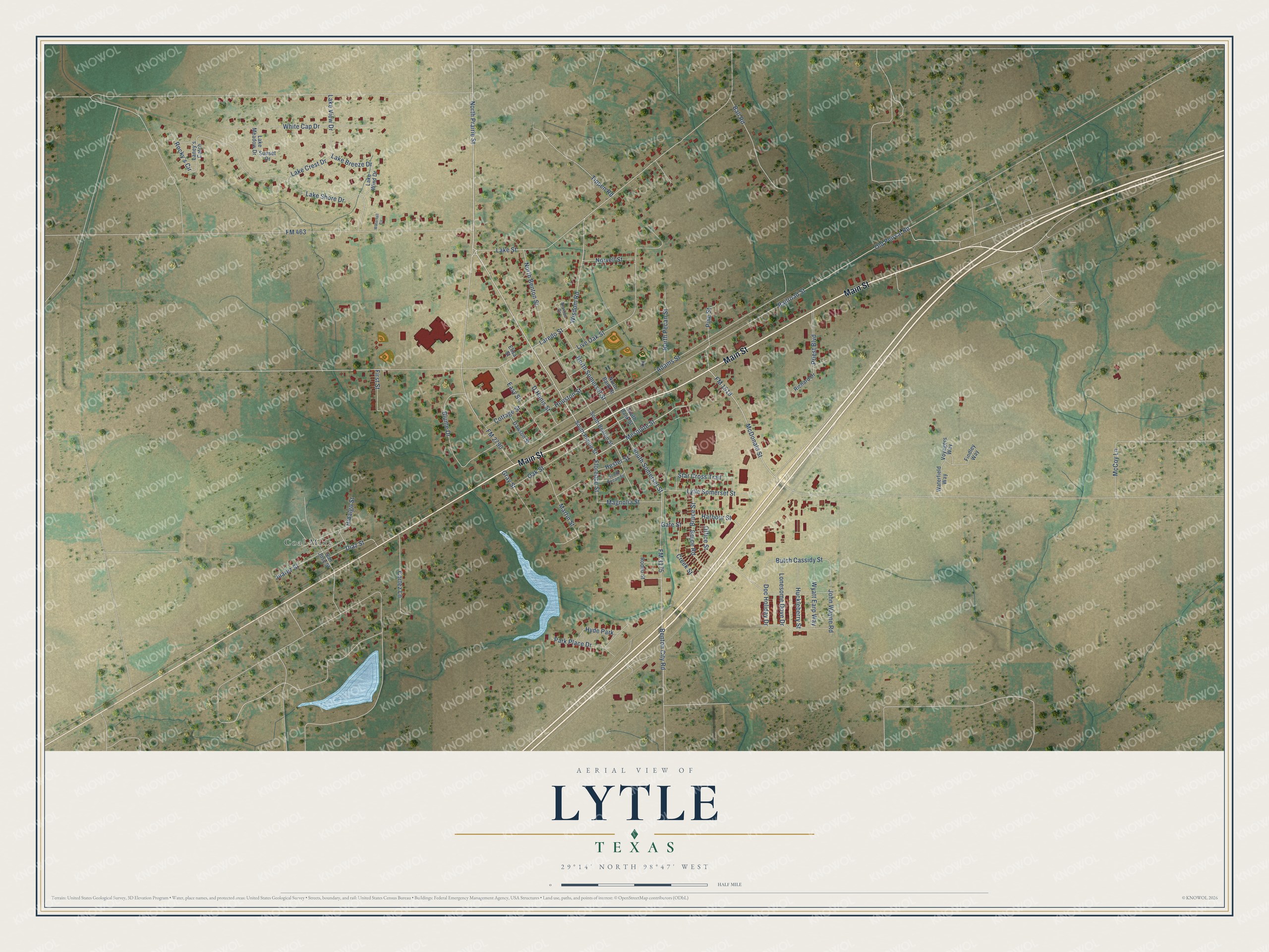
This beautifully detailed map of Lytle, Texas was created in 2026 using aerial imagery combined with modern topographical, census, street and landmark data. It’s a one-of-a-kind view of Lytle that combines accurate data with a vintage aesthetic. The map shows every building in its true location, many of the roads carry their names, and the shaded topographic relief shows the shape of the land.
Explore an aerial view of Lytle, Texas
On the map you’ll find Coal Mine, along with Main Street, North Prairie Street, Mesquite Street, FM 2790, Florence Street, Lake Street, Laredo Street, Wisdom Road, McDonald Street, South Somerset Street, Hester Street, and more. If you look closely you can even find your house accurately drawn in its correct location. Zoom in on the preview to look for yours.
Did you know this piece of Lytle, Texas history?
From the Handbook of Texas: "When a post office was granted in 1883, it was named for the train stop, which was near the Lytle-McDaniel Ranch and had a general store, a bar, and a casketmaker named W. J. Garnand, who became the first postmaster."
Take a closer look at the Lytle map
Street and place names on the Lytle, Texas map
These names are printed on the map of Lytle, Texas.
Places: Coal Mine and Hyde Park.
Streets and roads: Main Street, North Prairie Street, Mesquite Street, FM 2790, Florence Street, Lake Street, Laredo Street, Wisdom Road, McDonald Street, South Somerset Street, Hester Street, Star Cross Trail.
More street names, A to Z
Adams Street, Ball Road, Benton City Road, Blume Drive, Bruce Road, Bruce Street, Butch Cassidy Street, Cortez Lane, Cottage Street, Creek Street, D'Hanis Street, Dawson Street, Diaz Street, Doc Holiday Drive, Easy Street, Elisa Street, Findley Way, First Street, FM 463, FM 1518, FM 3175, Gate Street, Gray Street, Harbour Street, Hidalgo Street, Houston Street, Huckleberry Street, John Wayne Road, Juarez Street, Lake Breeze Drive, Lake Crest Drive, Lake Meadow Drive, Lake Shore Drive, Lake View Drive, Lake Wind Drive, Laney's Catch, Live Oak Street, Lonesome Dove Drive, Lytle Somerset Street, Magnolia Street, Martin Street, McCoy Lane, Newton Drive, North Bank Street, North Benton Street, North Pecan Street, North Somerset Street, Norvell Street, Oak Street, Office Street, Old Peirsal Road, Park Place Drive, Pine Street, Priest Boulevard, Railroad Street, Richard Drive, Rocky's Circle, Rodeo Street, San Jose Street, South Bank Street, South Benton Street, South Pecan Street, South Prairie Street, Sunset Drive, Tippen Road, Voyagers Way, Waterfall Circle, Waterfield Way, White Cap Drive, Wyatt Earp Way.
See the Lytle, Texas map on a wall
The Lytle map as an 18 x 24 inch print in a black frame.

This beautifully detailed map of Lytle makes an attractive addition to your office, library, or den, and it can even be used to teach children the geography and history of the area. It also makes a great gift for someone who left Lytle and still calls it home. When you’re done exploring, click here to get your copy of the Lytle map.