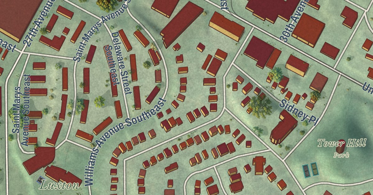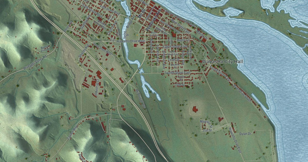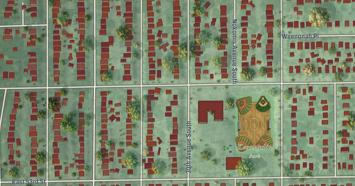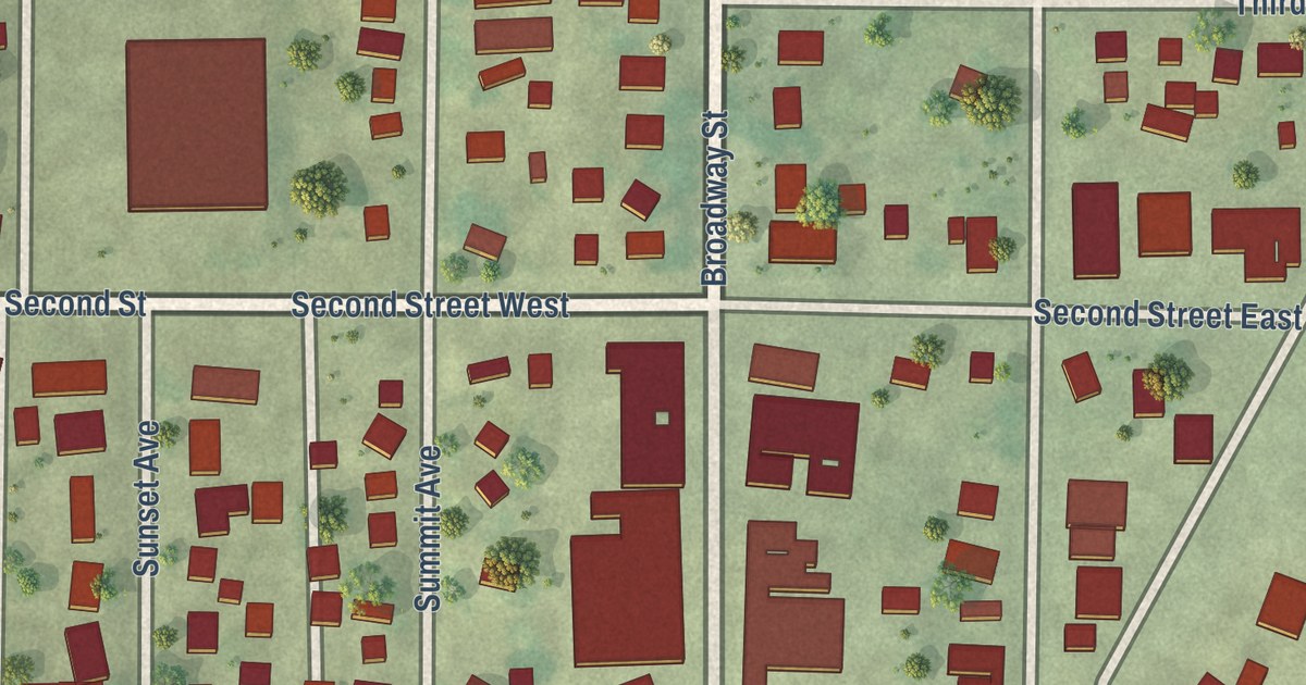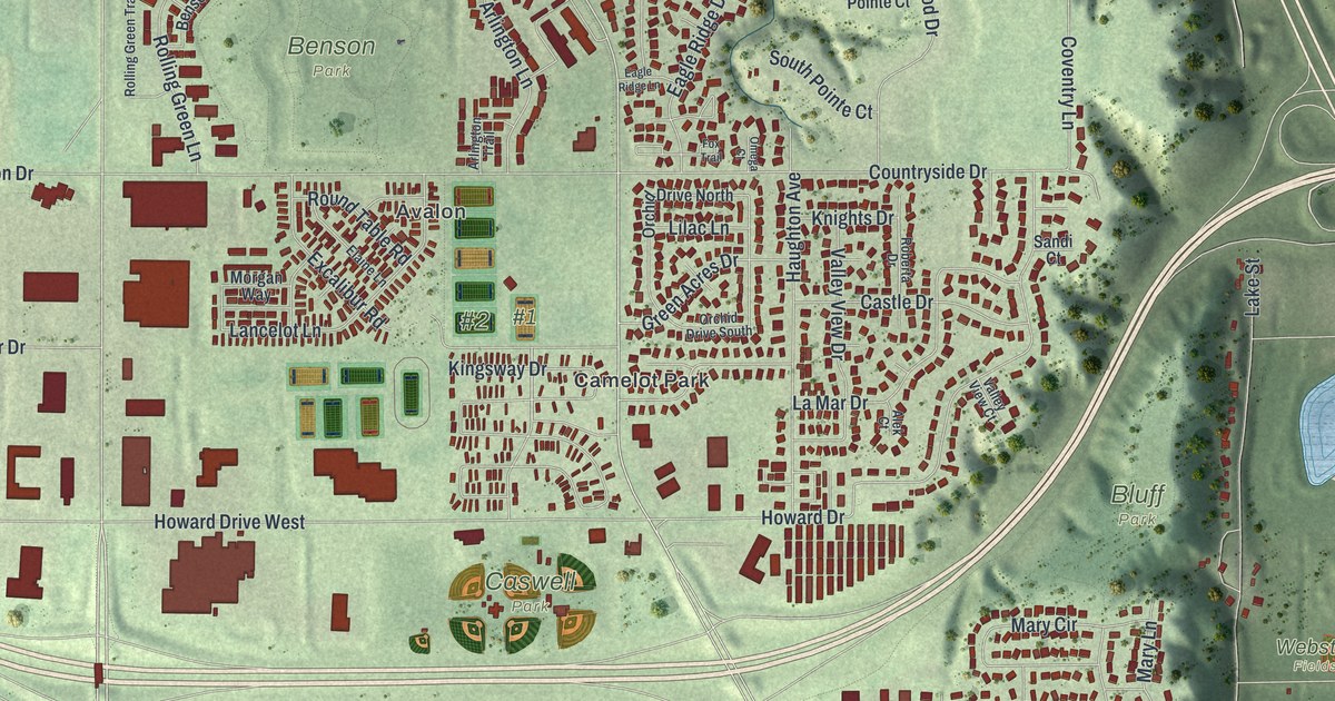
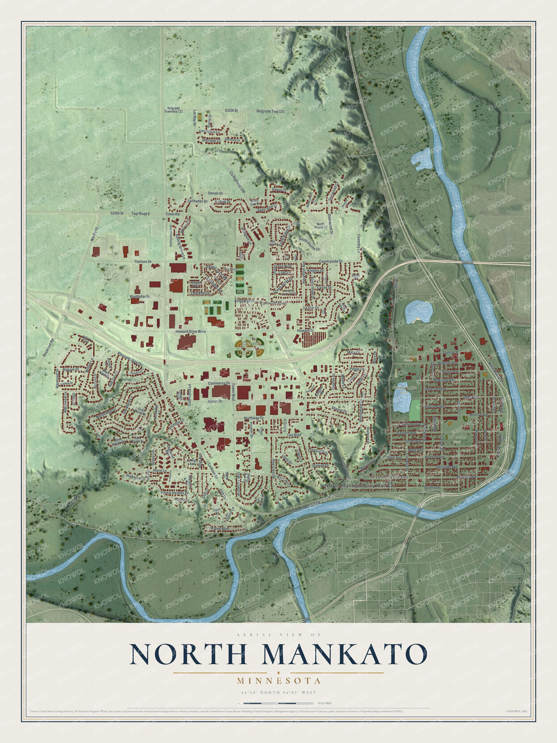
This beautifully detailed map of North Mankato, Minnesota was created in 2026 using aerial imagery combined with modern topographical, census, street and landmark data. It’s a one-of-a-kind view of North Mankato that combines accurate data with a vintage aesthetic. The map shows every building in its true location, many of the roads carry their names, and the shaded topographic relief shows the shape of the land.
Explore an aerial view of North Mankato, Minnesota
On the map you’ll find North Mankato City Hall, Riverbend Estates, Camelot Park, Avalon, Benson Park, Bluff Park, Caswell Park, Spring Lake Park, Wheeler Park, Webster Fields, #1, #2, and more. If you look closely you can even find your house accurately drawn in its correct location. Zoom in on the preview to look for yours.
Did you know this piece of North Mankato, Minnesota history?
From the National Register of Historic Places: "However, by 1880 a bridge spanning the Minnesota River connected Mankato and North Mankato, and a period of marked growth began in the city."
Take a closer look at the North Mankato map
Street and place names on the North Mankato, Minnesota map
These names are printed on the map of North Mankato, Minnesota.
Places: North Mankato City Hall, Riverbend Estates, Camelot Park, Avalon, Benson Park, Bluff Park, Caswell Park, Spring Lake Park, Wheeler Park and Webster Fields.
Streets and roads: Lookout Drive, Aspen Lane, Belgrade Avenue, Abbywood Lane, Lor Ray Drive, Commerce Drive, Roe Crest Drive, County Highway 13, Pleasant View Drive, Lee Boulevard, Lake Street, Northridge Drive.
More street names, A to Z
512th Street, 520th Street, Alek Court, Allan Avenue, Arlington Lane, Arlington Trail, Balsam Drive, Belgrade Township 121, Belgrade Twp 121, Belvista Drive, Bennett Street, Benson Trail, Black Hawk Drive, Burnett Lane, Candi Lane, Carlson Drive, Carol Court, Castle Drive, Cedar Street, Center Street, Clare Court, Clare Drive, Cliff Court, Cliff Drive, Colette Drive, Colony Court, Commerce Lane, Cornelia Street, Cottage Trail, Countryside Drive, County Highway 198, Coventry Lane, Crestwood Drive, Cross Street, Danbury Court, Deerwood Court, Deerwood Drive, Denali Drive, Eagle Ridge Drive, Eagle Ridge Lane, East Dream Drive, Edgewood Boulevard, Elaine Lane, Excalibur Road, Fairbanks Drive, Forest Heights Drive, Forest Lane, Fox Trail, Garfield Avenue, Grant Avenue, Green Acres Drive, Harrison Avenue, Haughton Avenue, Hodgson Road, Hoover Drive, Howard Court, Howard Drive, Howard Drive West, Ivy Lane, James Court, James Drive, Jefferson Avenue, Judson Bottom Road, Kathleen Drive, Kingsway Drive, Knights Drive, Kodiak Drive, Lakeview Avenue, La Mar Drive, Lancelot Lane, Le High Avenue, Leona Drive, Lexington Lane, Lilac Lane, Linda Lane, Lyndale Street, Marie Court, Marie Lane, Marquette Avenue, Marvin Boulevard, Mary Circle, Mary Lane, McKinley Avenue, Meyer Lane, Monroe Avenue, Morgan Way, Newcastle Court, Nicollet Avenue, North Pointe Court, Northridge Lane, North River Drive, Northway Drive, Nottingham Drive, Oak Terrace Court, Oak Terrace Drive, Omega Court, Orchid Drive North, Orchid Drive South, Oriole Place, Otter Court, Page Avenue, Park Avenue, Parkside Lane, Parkview Court, Peggy Lane, Peregrine Lane, Pierce Avenue, Prairie Court, Quail Roost Drive, Quincy Street, Range Street, Raymond Drive, Red Tail Lane, Restless Court, Ringhofer Drive, Roberta Drive, Robin Court, Rockford Road, Roe Crest Court, Rolling Green Lane, Rolling Green Trail, Round Table Road, Saint John Court, Sandi Court, Shady Oak Drive, Sharon Drive, Sheridan Court, Sherman Street, Sherwood Drive, Simon Court, Snowbird Lane, South Avenue, South Lake Street, South Pointe Court, Staley Lane, Stewart Street, Sunrise Drive, Timm Road, Tower Boulevard, Truman Street, Twp Road 6, Tyler Avenue, Valerie Lane, Valley View Court, Valley View Drive, Village Court, Wall Street, Wanda Street, Webster Avenue, West Dream Drive, Wheeler Avenue, White Oak Drive, Willow Lane, Willow Trail.
See the North Mankato, Minnesota map on a wall
The North Mankato map as an 18 x 24 inch print in a black frame.

This beautifully detailed map of North Mankato makes an attractive addition to your office, library, or den, and it can even be used to teach children the geography and history of the area. It also makes a great gift for anyone who grew up in North Mankato or moved away. When you’re done exploring, click here to get your copy of the North Mankato map.