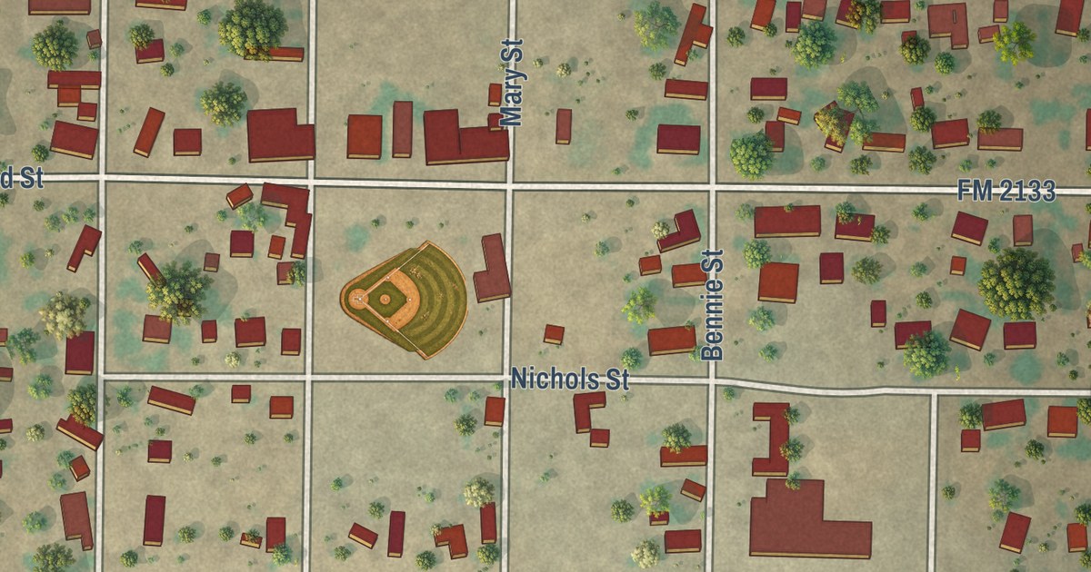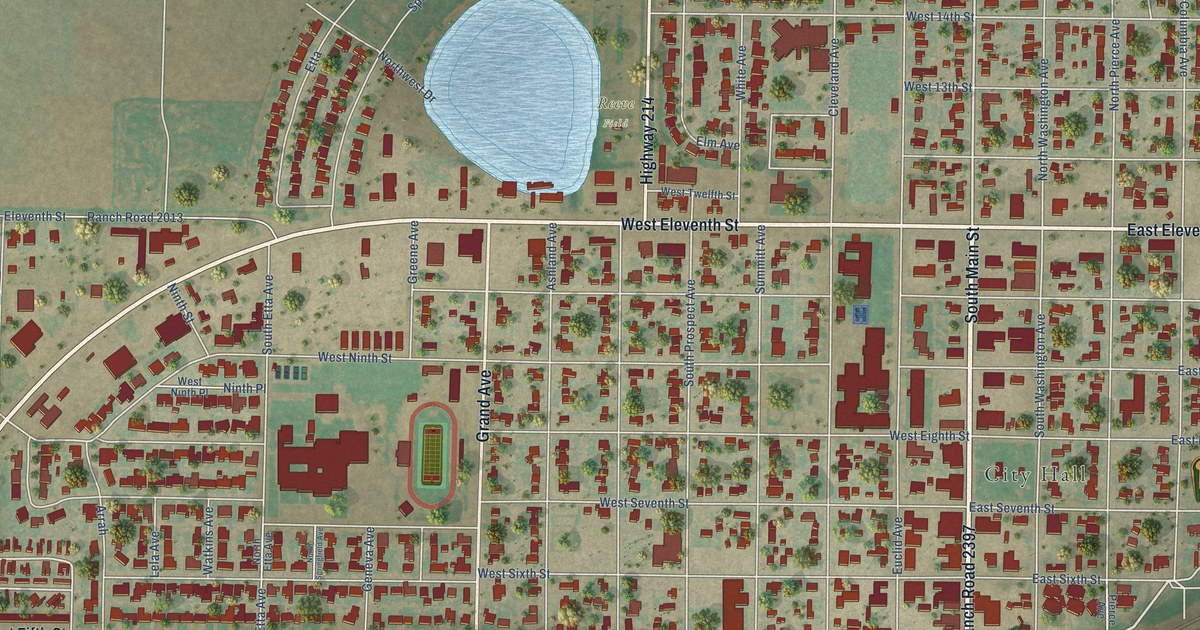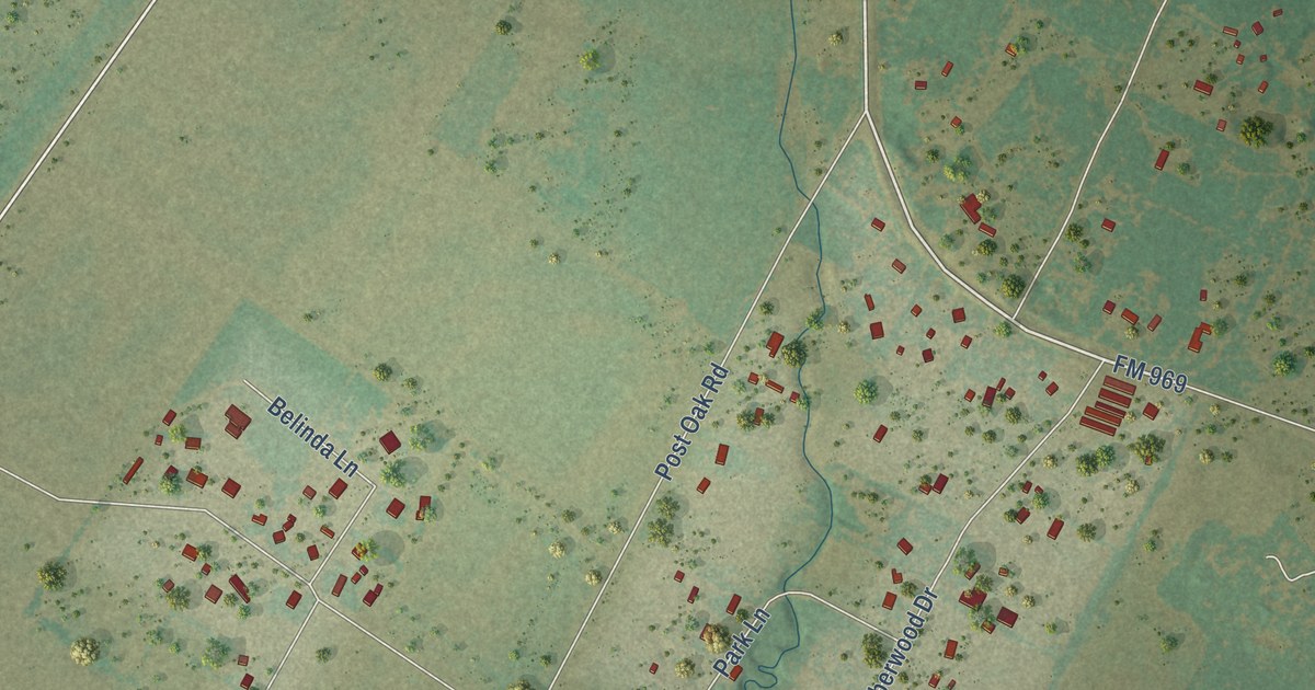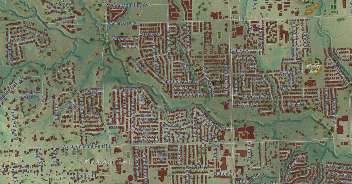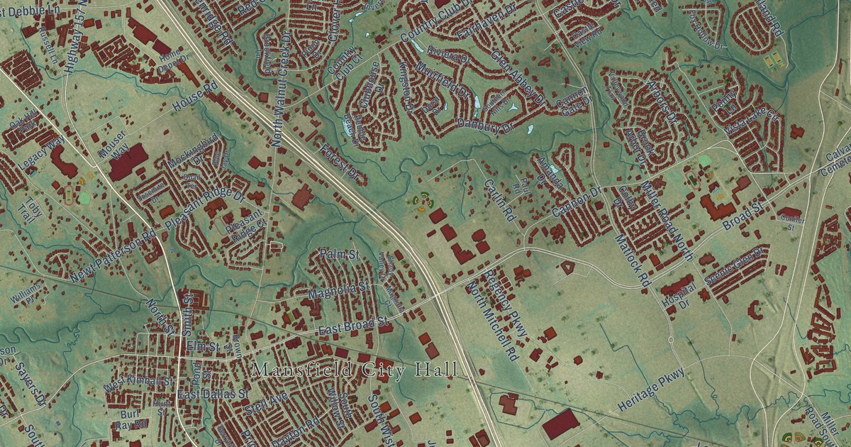
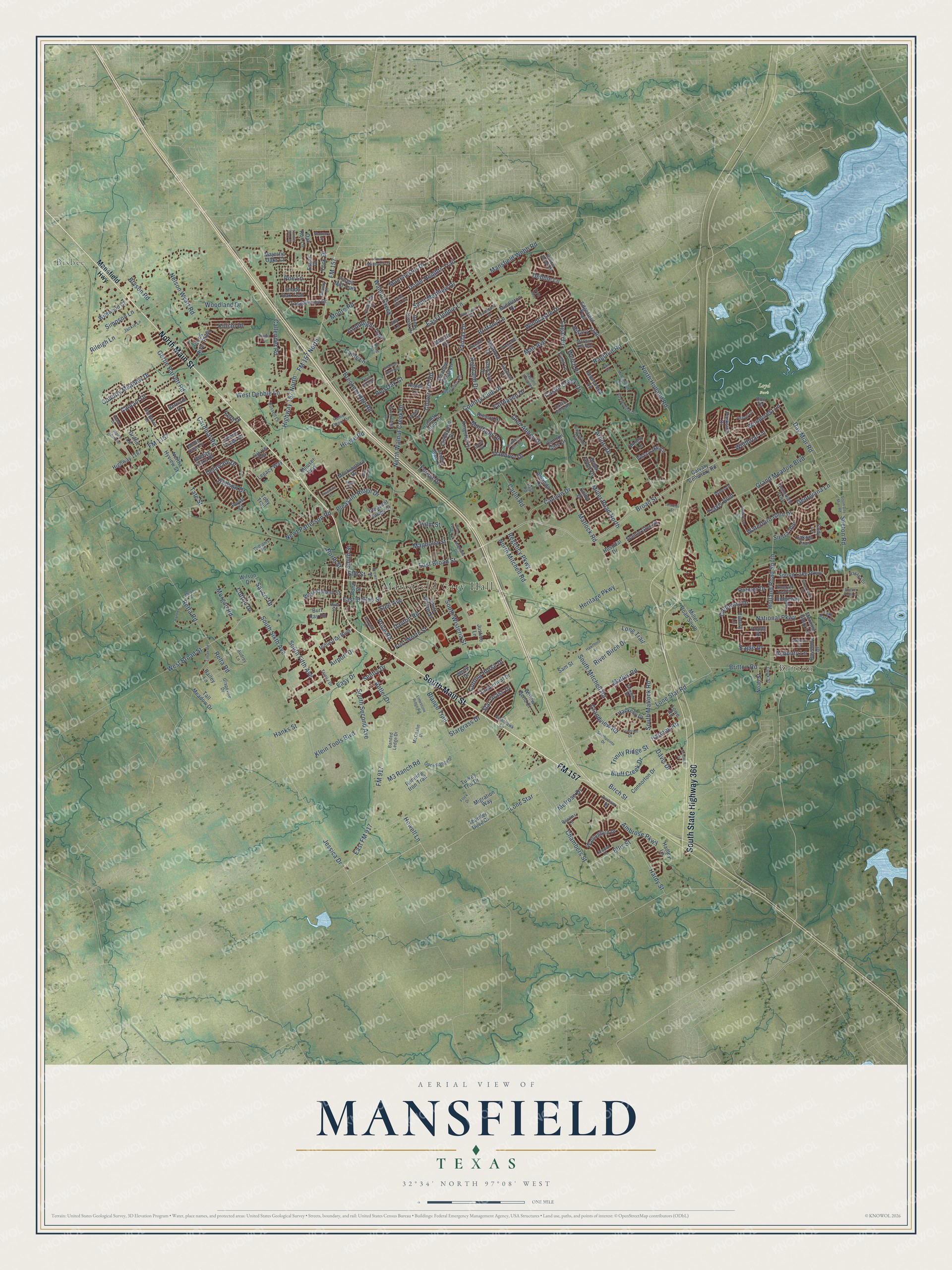
This beautifully detailed map of Mansfield, Texas was created in 2026 using aerial imagery combined with modern topographical, census, street and landmark data. It’s a one-of-a-kind view of Mansfield that combines accurate data with a vintage aesthetic. The map shows every building in its true location, many of the roads carry their names, and the shaded topographic relief shows the shape of the land.
Explore an aerial view of Mansfield, Texas
On the map you’ll find Mansfield City Hall, Bisbee, Britton, and Loyd Park, along with North Main Street, South Main Street, FM 157, South State Highway 360, Matlock Road, East Broad Street, Broad Street, Highway 157 North, and more. If you look closely you can even find your house accurately drawn in its correct location. Zoom in on the preview to look for yours.
Did you know this piece of Mansfield, Texas history?
From the Handbook of Texas: "The first paid firefighter was hired in 1977, and the fire department transitioned to a fully professional organization in the early 2000s."
Take a closer look at the Mansfield map
Street and place names on the Mansfield, Texas map
These names are printed on the map of Mansfield, Texas.
Places: Mansfield City Hall, Bisbee, Britton, Loyd Park and Oak Hill Park.
Streets and roads: North Main Street, South Main Street, FM 157, South State Highway 360, Matlock Road, East Broad Street, Broad Street, Highway 157 North, Cannon Drive, West Broad Street, Jessica Drive, Miller Road North.
More street names, A to Z
Abaco Drive, Acadia Street, Airport Drive, Alamo Drive, Alpine Industrial, Amanda Drive, Ambrose Parkway, Antler Drive, Arbors Drive, Ashbury Lane, Aspen Lane, Aston Lane, Audrey Lane, Bailey Lane, Banded Ledge Drive, Barbados Drive, Bayshore Drive, Bent Trail, Berryhill Drive, Bertram Drive, Birch Street, Blanco Trail, Blue Jay Drive, Bluff Creek Drive, Bonner, Breckenridge Road, Breezy Oaks Drive, Brittany Lane, Britton Road, Brook Arbor Drive, Brookfield Lane, Brown Street, Bryson Road, Burl Ray Road, Cains Lane, Callender Road, Calloway Drive, Calvary Cemetery Road, Cancun Drive, Cannon Gate Drive, Cardinal Road, Carlin Road, Castle Creek Drive, Castle View Road, Chambers Street, Cheyenne Trail, Clover Hill Road, Clubhouse Drive, Cody Lane, Colby Drive, Concord Drive, Conifer Street, Connorton Drive, Cook Street, Copperleaf Drive, Cotton Drive, Country Club Court, Country Club Drive, Country Meadow Drive, Cutting Horse Drive, Danbury Drive, Davis Drive, Day Miar Road, Dayton Road, Debbie Lane, Delaware Drive, Don Drive, Doral Drive, Dover Heights Trail, Durham Drive, Eagle Drive, East Dallas Street, East Debbie Lane, Eastfield Drive, East FM 917, Easy Drive, Edgefield Trail, Ellis Street, Elm Street, Emerald Leaf Drive, Enchanted Lane, Ervin Way, Essex Drive, Fairfax Drive, Fairhaven Drive, Farmington Drive, Fern Drive, Field Lane, Flock Drive, FM 157 North, FM 917, FM 1187, Forest Drive, Forest Mill Trail, Forestridge Drive, Fort Worth Street, Fox Hollow Drive, Friedrich Drive, Galway Drive, Georgiana Lane, Gertie Barrett Road, Glen Abbey Drive, Goodnight Trail, Grand Meadow Boulevard, Grandview Road, Grapevine Drive, Griffin Lane, Gristmill Drive, Hackney Drive, Hadley Lane, Hanks Street, Hardy Street, Harmon Road, Havana Drive, Hawthorn Lane, Heritage Parkway, Highland Drive, Highway 1187, Hillary Trail, Holland Road South, Home Depot Drive, Hospital Drive, House Road, Howell Lane, Hudson Drive, Hunter Glen Drive, Hunt Street, Industrial Boulevard, Inverness Road, Jackie Lane, Joy Lane, Justice Lane, Kendal Drive, Killian Drive, Kingston Drive, Klein Tools Boulevard, Lake Park Drive, Lakota Trail, Legacy Way, Lillian Road, Limestone Ridge Road, Linwood Drive, Logan Drive, Lone Star, Lone Star Road, Long Trail, Lowe Road, M3 Ranch Road, Magnolia Court, Magnolia Street, Majestic Oaks Court, Mallard Circle, Man Avenue, Manchester Drive, Mansfield Highway, Mansfield Webb Road, Mathis Road, McCampbell Road, McCaslin Drive, Meadow Crest Lane, Melrose Drive, Middleton Drive, Migration Way, Miller Road South, Mockingbird Drive, Monte Carlo Drive, Moody Drive, Moore Road, Morgan Ann Avenue, Morgan Road, Morning Glory Lane, Mouser Way, Muirfield Drive, National Parkway, Nelson Wyatt Road, Netherfield Parkway, Newt Patterson Road, Nighthawk Lane, Noah Street, North Holland Road, North Hyview Street, North Mitchell Road, North Street, North Walnut Creek Drive, Oak Run Lane, Open Range Drive, Palmer Drive, Palm Street, Park Place, Parkside Drive, Paul Road, Pebble Beach Drive, Penny Lane, Pinon Drive, Pleasant Ridge Court, Pleasant Ridge Drive, Poe Lane, Pond Street, Poppy Drive, Prescott Drive, Price Road, Quail Terrace, Ragland Extended, Ragland Road, Rawlins Lane, Red Oak Court, Regency Parkway, Relta Road, Rendon Place, Retta Road, Ridgeway Drive, Rileigh Lane, River Birch Drive, Riviera Drive, Rock Meadow Trail, Rocky Creek Drive, Royal Court, Running Iron Trail, Russell Lane, Sailboat Drive, Saint Eric Drive, Saint Matthew Drive, Sam Street, Sayers Drive, Scenic Glen Drive, Seeton Road, Sentry Drive, Shady Oak Trail, Shady Valley Drive, Shannon Creek Drive, Shelter Point Court, Sierra Avenue, Silverwood Drive, Simpson Lane, Smith Street, South Day Miar Road, Southern Hills Drive, South Fifth Avenue, South Matlock Road, South Mitchell Road, Southpointe Drive, South Second Avenue, South Sixth Avenue, South Willow Street, South Wisteria Street, Spring Lake Parkway, Stanbury Street, Stargrass Drive, Star Grass Drive, Stell Avenue, Stone Creek Drive, Stratford Drive, Tall Meadow Drive, Tanglewood Drive, Tate Street, Thunder Dove Drive, Toby Trail, Travis Boulevard, Trinity Drive, Trinity Ridge Street, Turkey Trot Drive, Twin Creek, Valleywood Trail, Victory Lane, Vista Lake Circle, Wallingford Drive, Walnut Creek, Waterford Glen Drive, Waterlane Drive, Welch Place, West Debbie Lane, West Kimball Street, Wildbriar Lane, Wildwood Court, Williams Place, Willow Bend Court, Willow Brook Drive, Wilson Drive, Windcastle Drive, Woodcrest Lane, Wood Drive, Woodland Drive, Wood River Parkway, York Drive, Yosemite Drive.
See the Mansfield, Texas map on a wall
The Mansfield map as an 18 x 24 inch print in a black frame.

This beautifully detailed map of Mansfield makes an attractive addition to your office, library, or den, and it can even be used to teach children the geography and history of the area. It also makes a great gift for anyone with Mansfield roots. When you’re done exploring, click here to get your copy of the Mansfield map.