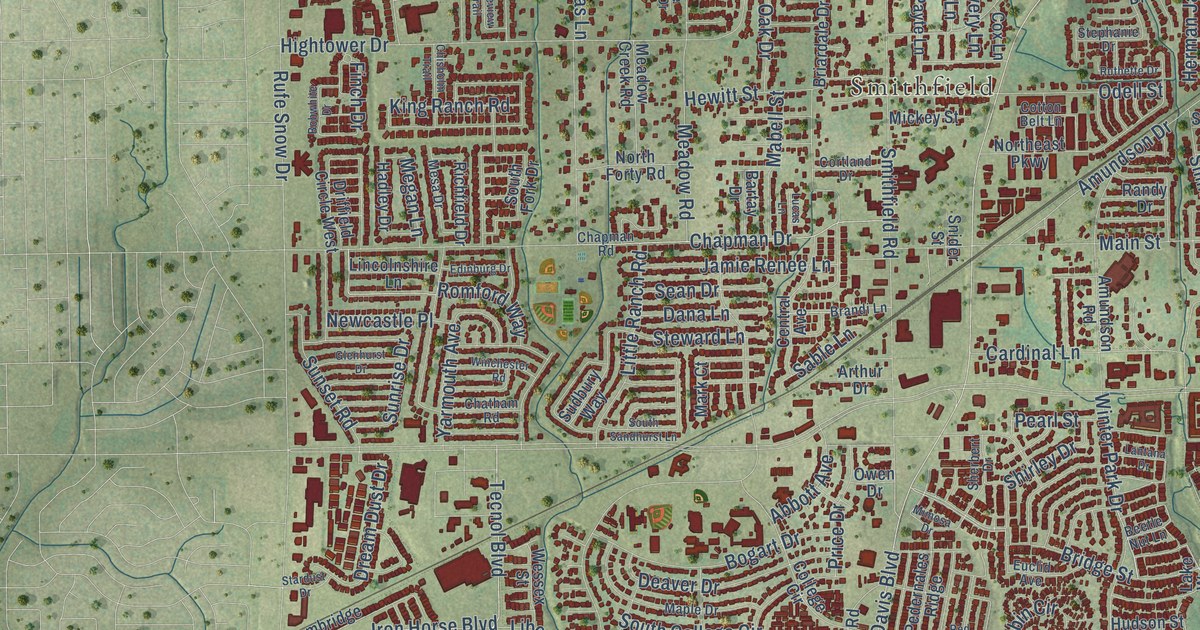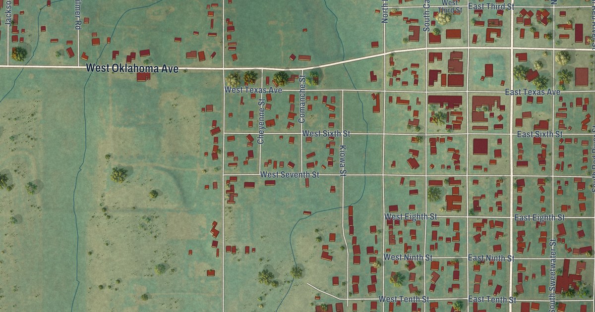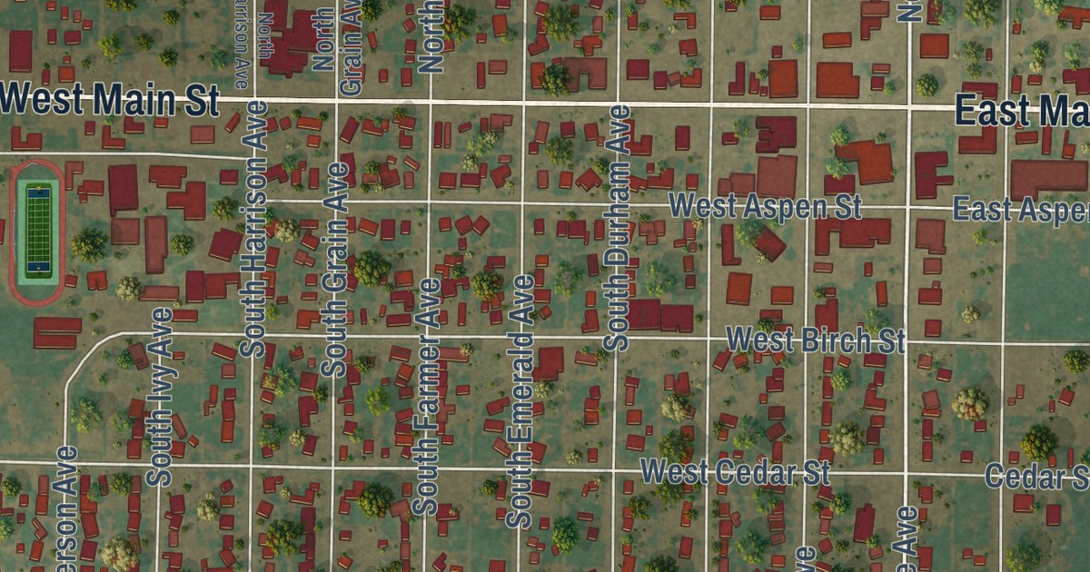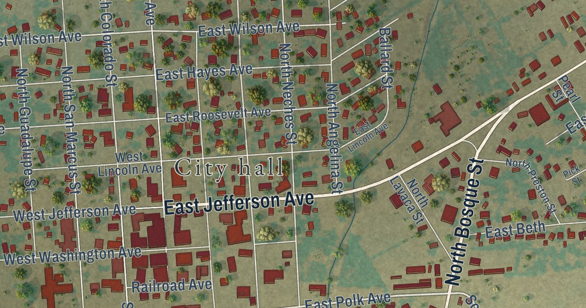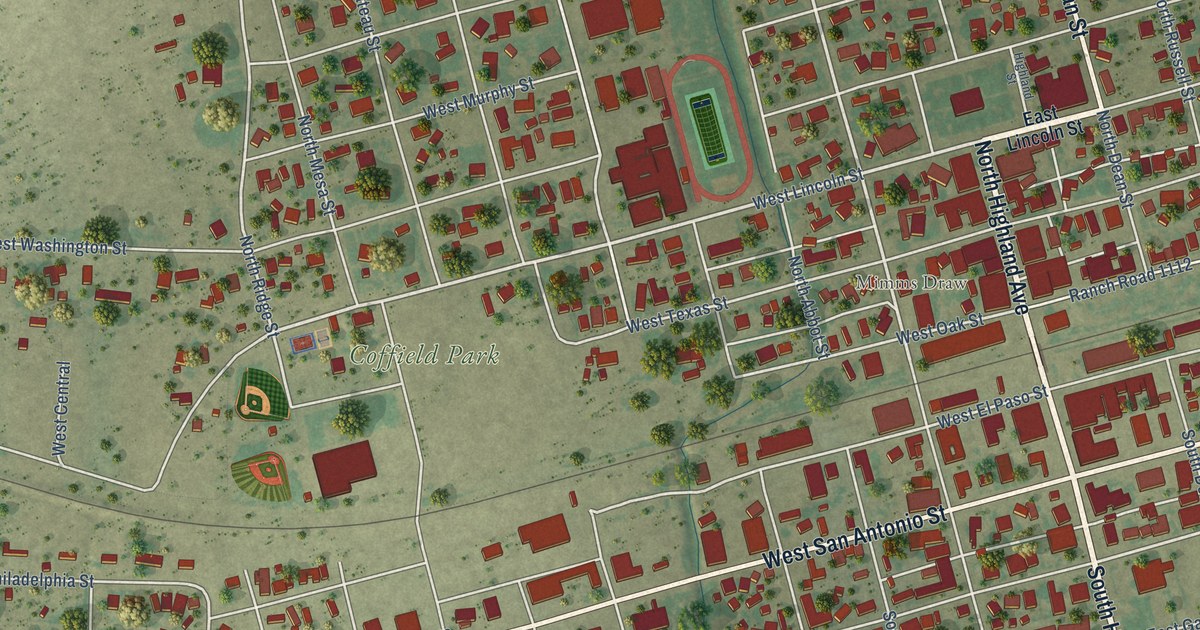
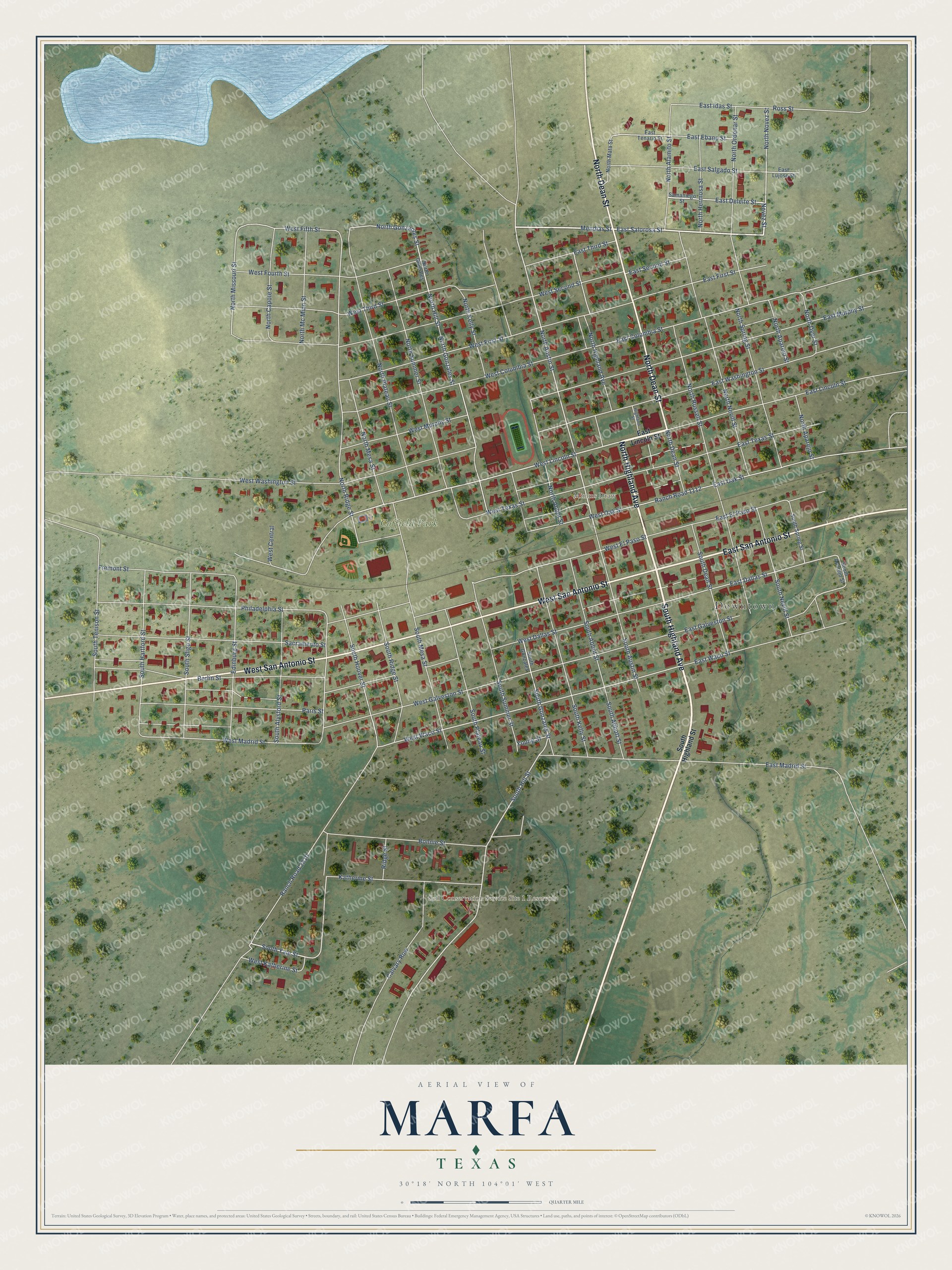
This beautifully detailed map of Marfa, Texas was created in 2026 using aerial imagery combined with modern topographical, census, street and landmark data. It’s a one-of-a-kind view of Marfa that combines accurate data with a vintage aesthetic. The map shows every building in its true location, many of the roads carry their names, and the shaded topographic relief shows the shape of the land.
Explore an aerial view of Marfa, Texas
On the map you’ll find Downtown, Mimms Draw, Soil Conservation Service Site 1 Reservoir, and Coffield Park, along with North Highland Avenue, South Highland Avenue, West San Antonio Street, North Dean Street, East San Antonio Street, East Salorosa Street, Mendias Street, North Novez Street, and more. If you look closely you can even find your house accurately drawn in its correct location. Zoom in on the preview to look for yours.
Did you know this piece of Marfa, Texas history?
Marfa began in the early 1880s as a water stop on the railroad. During World War II, the Marfa Army Air Field trained several thousand pilots before it closed in 1945. The town struggled after the war, and drought hurt its farms. In 1973, the artist Donald Judd came to town and started buying and fixing up buildings.
Take a closer look at the Marfa map
Street and place names on the Marfa, Texas map
These names are printed on the map of Marfa, Texas.
Places: Downtown, Mimms Draw, Soil Conservation Service Site 1 Reservoir and Coffield Park.
Streets and roads: North Highland Avenue, South Highland Avenue, West San Antonio Street, North Dean Street, East San Antonio Street, East Salorosa Street, Mendias Street, North Novez Street, Novez Street, West Lincoln Street, North Austin Street, East Deleite Street.
More street names, A to Z
Berlin Street, Bonnie Street, Calvary Row, East Columbia Street, East Dallas Street, East Ebano Street, East El Paso Street, East First Street, East Galveston Street, East Idas Street, East Lincoln Street, East Lujose Street, East Madrid Street, East Murphy Street, East Oak Street, East Salgado Street, East Second Street, East Tenario Street, East Texas Street, East Third Street, East Waco Street, East Washington Street, Edinburg Street, Fremont Street, Highland Street, Katherine Street, North Abbot Street, North Alamito Street, North Apareio Street, North Aparejo Street, North Capote Street, North Dyer Street, North Gonzales, North Gonzales Street, North Gonzaoles Street, North Hermosa Street, North Hill Street, North Kelly Street, North Mata Street, North Mc Minn Street, North Mesa Street, North Missouri Street, North Nevill Street, North Ordenar Street, North Plateau Street, North Ridge Street, North Russell Street, North Spring Street, North Summer Street, Paris Street, Philadelphia Street, Ranch Road 1112, Ranch Road 2810, Ridge Street, Ross Street, Sacramento Street, Samaniego Street, South Abbot Street, South Abbott Street, South Alysford Street, South Aparejo Street, South Austin Street, South Dean Street, South Gonzales, South Gonzales Street, South Hartford Street, South Highland Street, South Hill Street, South Hoover Street, South Kelly Street, South Mesa Street, South Nevill Street, South Plateau Street, South Ridge Street, South Sligo Street, South Spring Street, South Summer Street, South Tenison Street, South Yale Street, West Central, West Columbia Street, West Dallas Street, West El Paso Street, West Fifth Street, West First Street, West Fourth Street, West Galveston Street, West Katherine Street, West Madrid Street, West Murphy Street, West Oak Street, West Second Street, West Texas Street, West Third Street, West Waco Street, West Washington Street, Young Street.
See the Marfa, Texas map on a wall
The Marfa map as an 18 x 24 inch print in a black frame.

This beautifully detailed map of Marfa makes an attractive addition to your office, library, or den, and it can even be used to teach children the geography and history of the area. It also makes a great gift for anyone with Marfa roots. When you’re done exploring, click here to get your copy of the Marfa map.