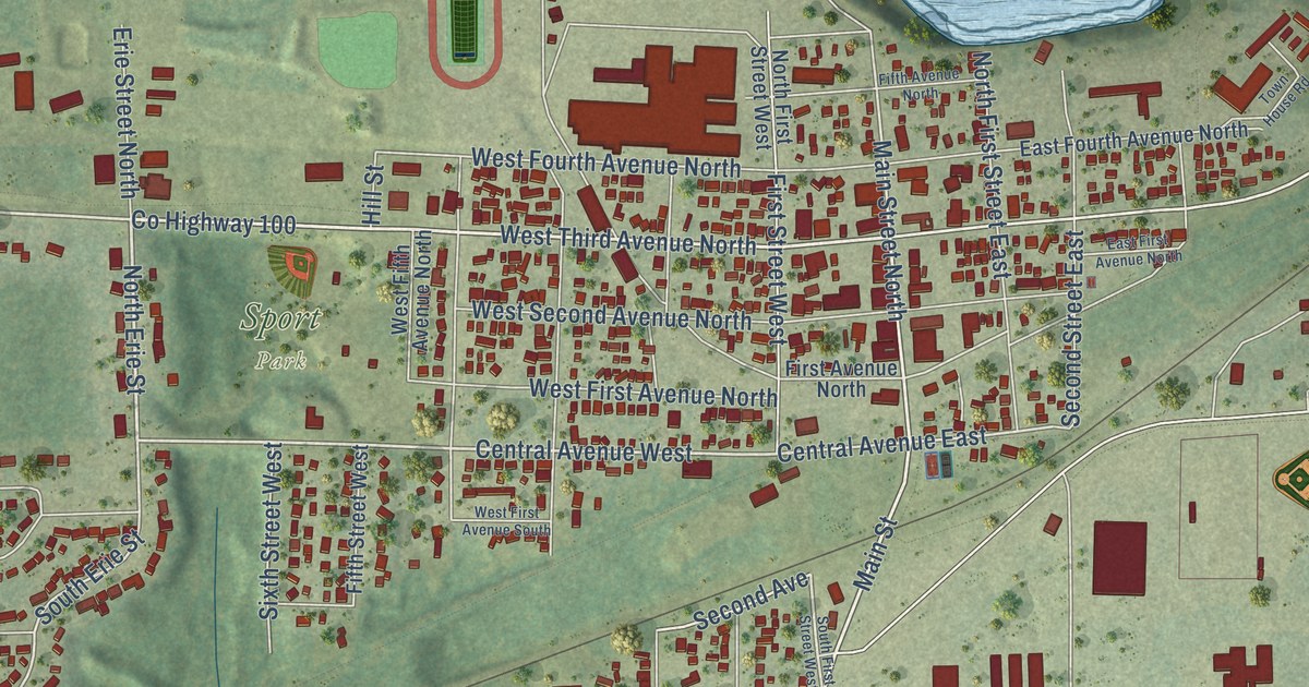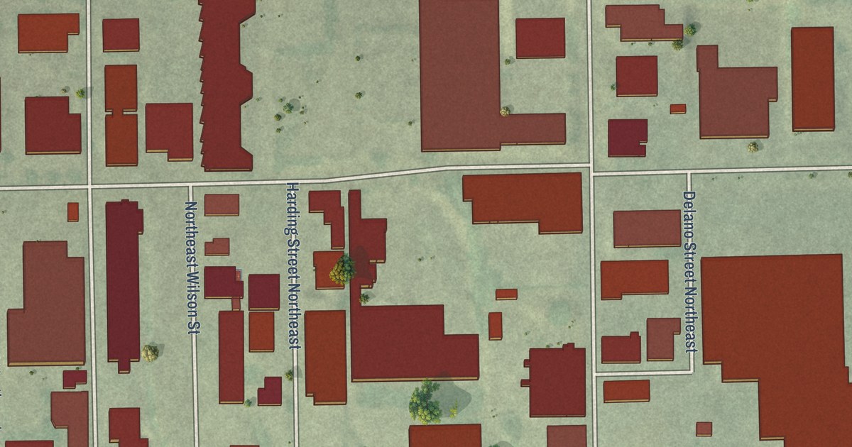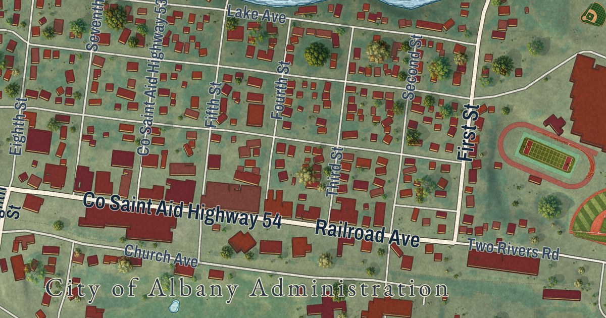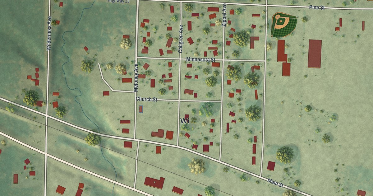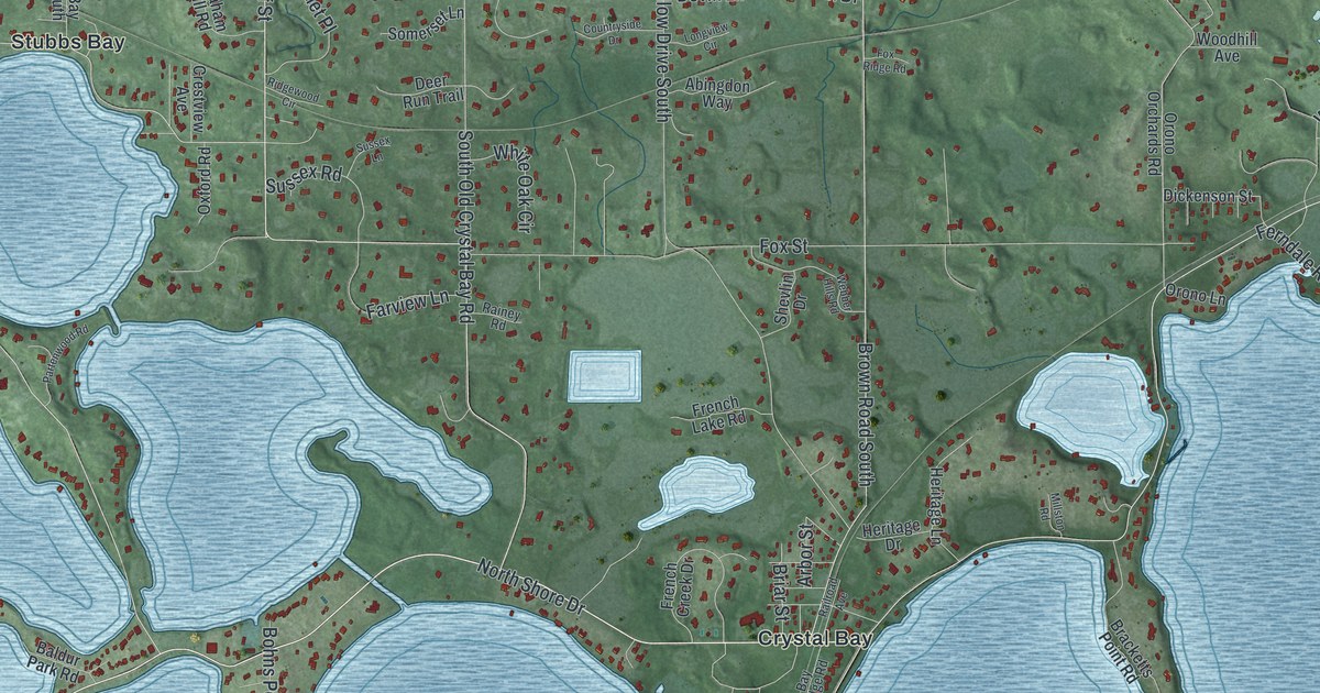
This beautifully detailed map of Orono, Minnesota was created in 2026 using aerial imagery combined with modern topographical, census, street and landmark data. It’s a one-of-a-kind view of Orono that combines accurate data with a vintage aesthetic. The map shows every building in its true location, many of the roads carry their names, and the shaded topographic relief shows the shape of the land.
Explore an aerial view of Orono, Minnesota
On the map you’ll find Orono City Hall, Saga Hill, Baker Park Reserve, Crystal Bay, Spring Park, Stubbs Bay, and Spring Hill Golf Club, along with Wayzata Boulevard, Sixth Avenue North, North Shore Drive, Shadywood Road, Ferndale Road North, and more. If you look closely you can even find your house accurately drawn in its correct location. Zoom in on the preview to look for yours.
Did you know this piece of Orono, Minnesota history?
From the 1920 Minnesota Geographic Names: "Orono township was organized in 1889, having previously been the south half of Medina."
Take a closer look at the Orono map
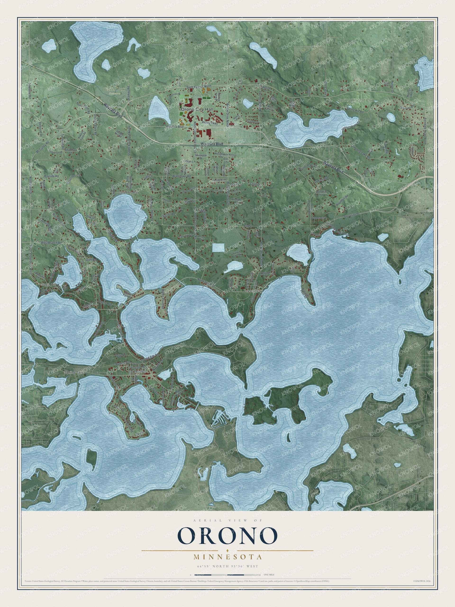
Street and place names on the Orono, Minnesota map
These names are printed on the map of Orono, Minnesota.
Places: Orono City Hall, Saga Hill, Baker Park Reserve, Crystal Bay, Spring Park, Stubbs Bay and Spring Hill Golf Club.
Streets and roads: Wayzata Boulevard, Sixth Avenue North, North Shore Drive, Shadywood Road, North Shore Drive West, Ferndale Road North, McCulley Road, Northshore Drive, Leaf Street, Bayside Road, South Old Crystal Bay Road, North Brown Road.
More street names, A to Z
Abingdon Way, Arbor Street, Baldur Park Road, Bay Ridge Road, Bayside Trail, Blaine Avenue, Bohns Point Road, Bracketts Point Road, Briar Street, Brown Road South, Carman Street, Casco Avenue, Casco Circle, Casco Point Road, Cemetery Road, Cherry Avenue, Chevy Chase Drive, Chippewa Lane, Colin Drive, Concordia Street, Country Club Lane, Countryside Drive, Cox Farm Road, Crestview Avenue, Cristofori Circle, Crystal Bay Road, Crystal Creek Road, Crystal Place, Cygnet Place, Dahl Road, Deborah Drive, Deer Run Trail, Devin Lane, Dickenson Street, Dickey Lake Drive, Dunwoody Avenue, East Long Lake Road, Elm Lane, Elm Street, Elmwood Avenue, Farview Lane, Ferndale Road West, Forest Arms Lane, Fox Ridge Road, Fox Street, French Creek Drive, French Lake Road, Glendale Drive, Golden View Drive, Graham Hill Road, Hackberry Hill, Heritage Drive, Heritage Lane, High Lane, Highwood Road, Hollander Road, Homestead Trail, Hunter Drive, Hunter Pass, Hunts Farm Road, Ivy Place, Jacobs Mill Road, Jamestown Road, Kelley Parkway, Kelly Avenue, Kintyre Lane, Kokesh Farm Road, Lakeview Parkway, Lakeview Terrace, Landmark Drive, Lillian Lane, Linden Lane, Livingston Avenue, Loma Linda Avenue, Long Lake Boulevard, Longview Circle, Luce Line Ridge, Lydiard Avenue, Lyman Avenue, Lyric Avenue, Maple Ridge Lane, Millston Road, Mooney Lake Drive, Myrtlewood Road, Navarre Lane, North Arm Drive, North Arm Lane, Northern Avenue, North Old Crystal Bay Road, North Wear Lane, Oak Street, Old Beach Road, Old Long Lake Road, Orchard Park Road, Orono Lane, Orono Oaks Drive, Orono Orchards Road, Oxford Road, Park Drive, Partenwood Road, Pheasant Road, Phillips Drive, Railroad Avenue, Rainey Road, Rest Point Road, Ridgewood Circle, Ruann Road, Shevlin Drive, Shoreline Drive, Silverview Drive, Somerset Lane, Spring Hill Road, Starkey Road, Stubbs Bay Road North, Stubbs Bay Road South, Sugarwood Drive, Sussex Lane, Sussex Road, Tamarack Drive, Tanglewood Road, Thoroughbred Lane, Togo Road, Tonkaview Lane, Tonkawa Road, Townline Road, Truffula Trail, Turnham Road, Vine Place, Wakefield Road, Watertown Road, Webber Hills Road, West Branch Road, West Farm Road, West Lake Street, White Oak Circle, Wildhurst Trail, Willow Drive North, Willow Drive South, Willow View Drive, Wolverton Place, Woodhaven Drive, Woodhill Avenue, Woodhill Road.
See the Orono, Minnesota map on a wall
The Orono map as an 18 x 24 inch print in a black frame.

This beautifully detailed map of Orono makes an attractive addition to your office, library, or den, and it can even be used to teach children the geography and history of the area. It also makes a great gift for anyone with Orono roots. When you’re done exploring, click here to get your copy of the Orono map.