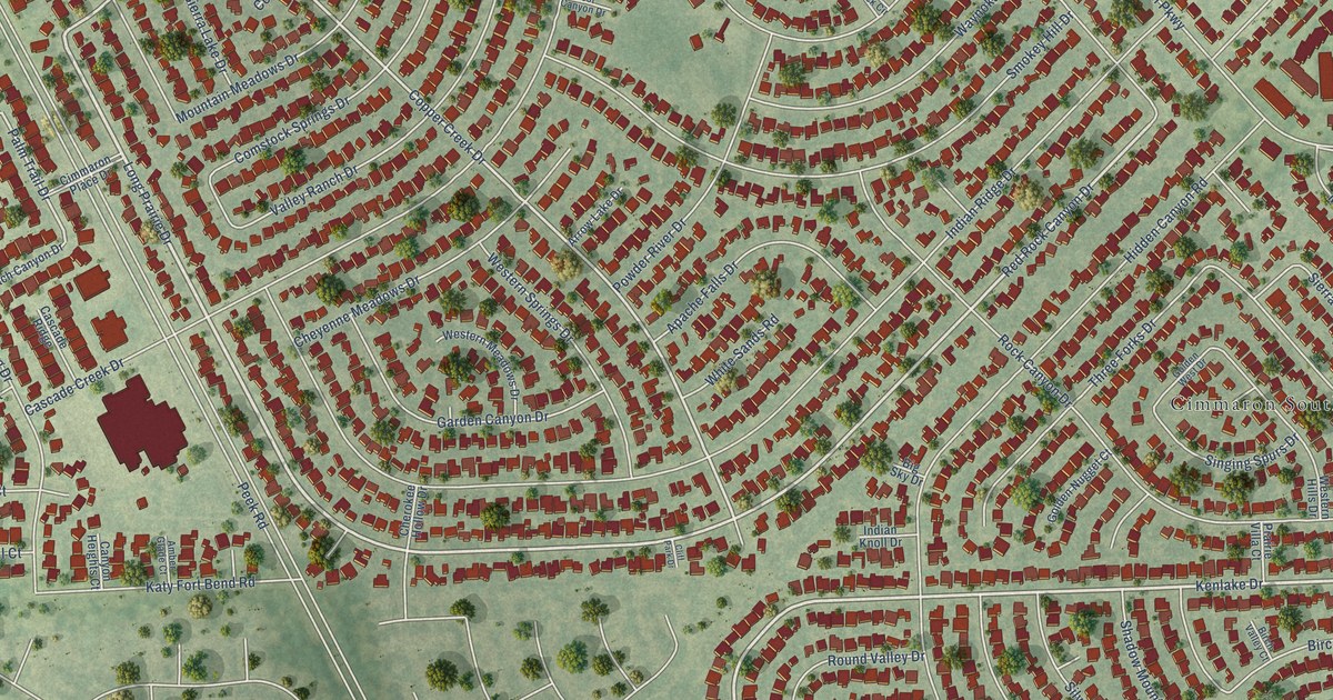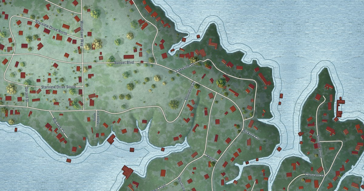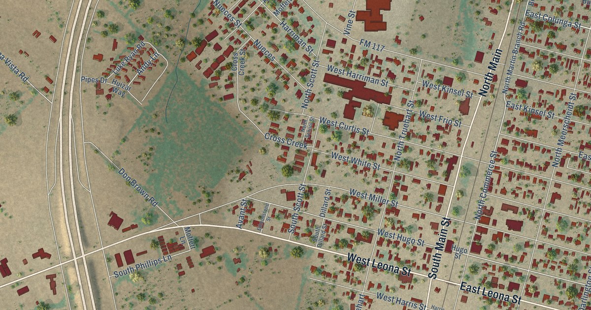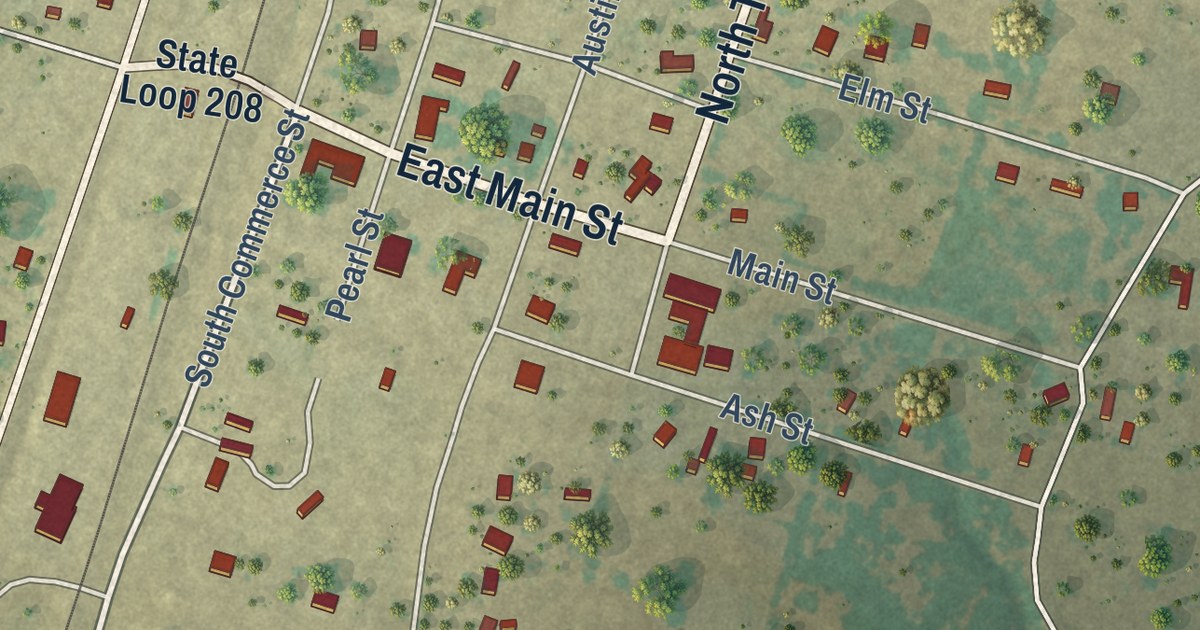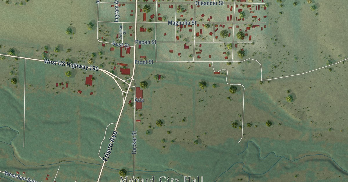
This beautifully detailed map of Menard, Texas was created in 2026 using aerial imagery combined with modern topographical, census, street and landmark data. It’s a one-of-a-kind view of Menard that combines accurate data with a vintage aesthetic. The map shows every building in its true location, many of the roads carry their names, and the shaded topographic relief shows the shape of the land.
Explore an aerial view of Menard, Texas
On the map you’ll find Menard City Hall and Rest Haven Cemetery, along with Ellis Street, Frisco Avenue, East San Saba Avenue, Cleo Road, West San Saba Avenue, Greer Street, First Street, Tipton Street, Canal Street, Fourth Street, and more. If you look closely you can even find your house accurately drawn in its correct location. Zoom in on the preview to look for yours.
Did you know this piece of Menard, Texas history?
Menard began in April 1757 as a Spanish mission and presidio built to guard New Spain’s northern frontier against Comanche raids. The isolated fort suffered repeated attacks until it was abandoned in 1770. Later settlers reused its stones, and the ruins were rebuilt in 1936.
Take a closer look at the Menard map
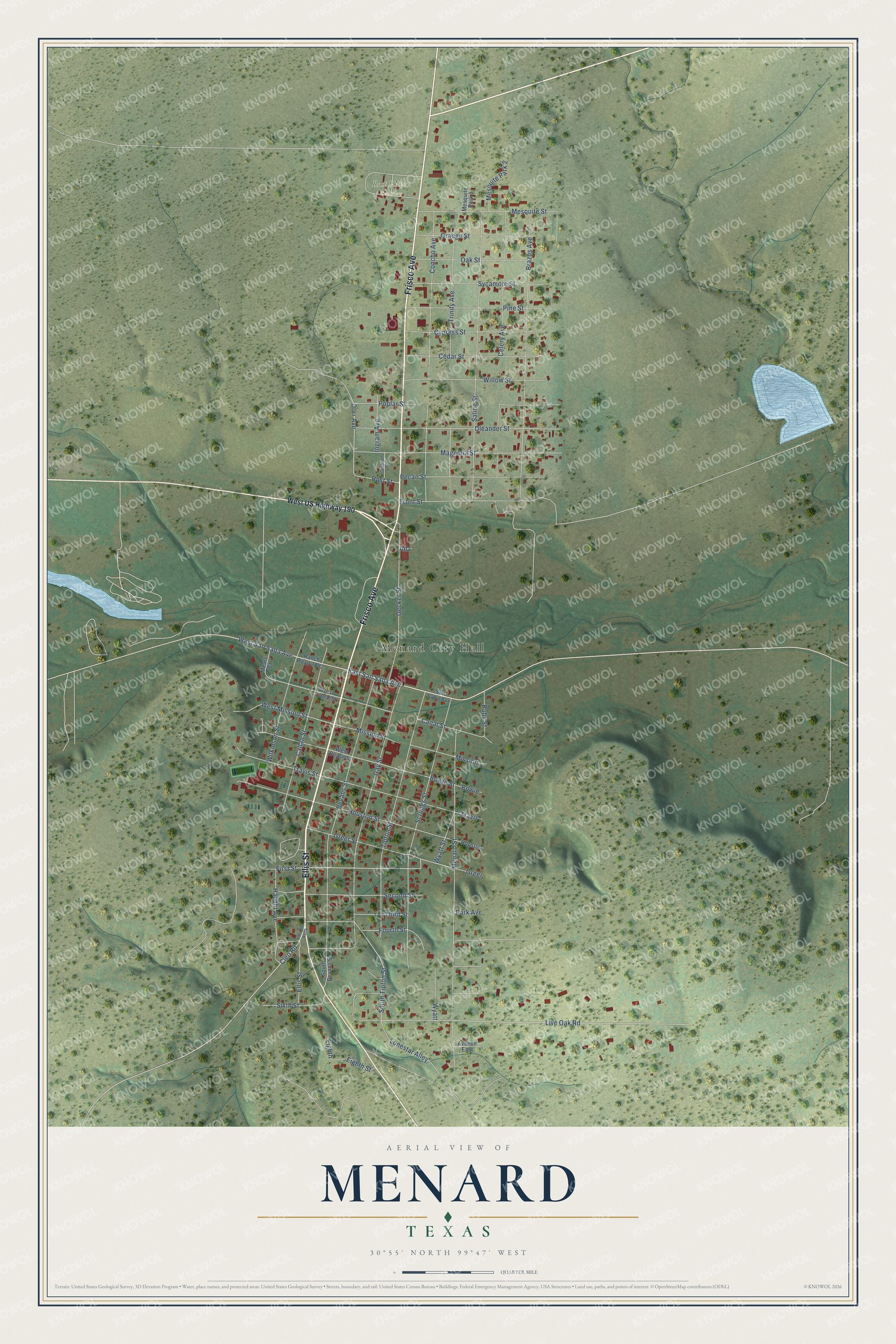
Street and place names on the Menard, Texas map
These names are printed on the map of Menard, Texas.
Places: Menard City Hall and Rest Haven Cemetery.
Streets and roads: Ellis Street, Frisco Avenue, East San Saba Avenue, Cleo Road, West San Saba Avenue, Greer Street, First Street, Tipton Street, Canal Street, Fourth Street, South Tipton Street, Bowie Street.
More street names, A to Z
Ada, Avenue East, Bevans Street, Bowie, Brazos Avenue, Callan Street, Cedar Street, Celery Avenue, Cochran Street, Concho Avenue, Cypress Street, Decker Street, Dorr Avenue, Eighth, Eighth Street, FM 2291 North, Front Street, Gay Street, Greer, Haught Avenue, Houston, Houston Street, Ingram Avenue, Live Oak Road, Lonestar Alley, Magnolia Street, Mears Court, Menard Street, Mesquite Park 1, Mesquite Park 2, Mesquite Street, Mission, Mission Street, Oak Street, Oleander Street, Orange Street, Park Avenue, Pecan Street, Pine Street, Poplar Street, Ranch Road 2092, Ruby Street, Rust Street, Saline Street, San Saba Avenue, Scruggs Street, Second Street, Sixth Street, South Bevans Street, Sycamore Street, Third Street, Travis, Travis Street, Trinity Avenue, West Bowie Street, West Canal Street, West Mission Street, West US Highway 190, Wilkinson Street, Willow Street, Wyatt, Wyatt Street.
See the Menard, Texas map on a wall
The Menard map as an 18 x 24 inch print in a black frame.

This beautifully detailed map of Menard makes an attractive addition to your office, library, or den, and it can even be used to teach children the geography and history of the area. It also makes a great gift for anyone who grew up in Menard or moved away. When you’re done exploring, click here to get your copy of the Menard map.