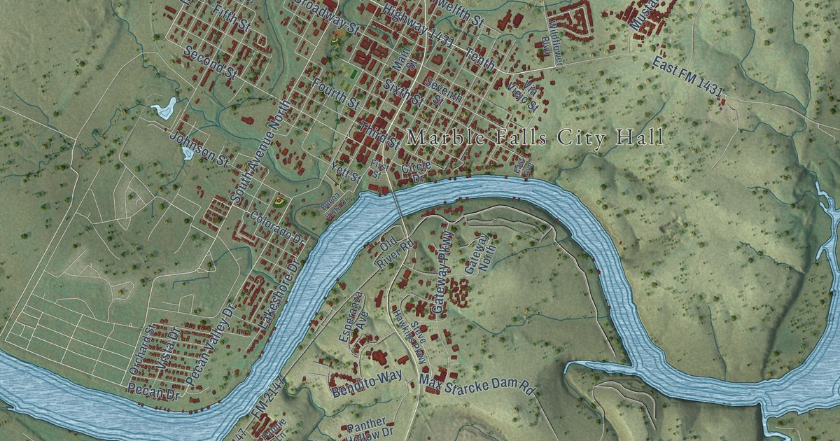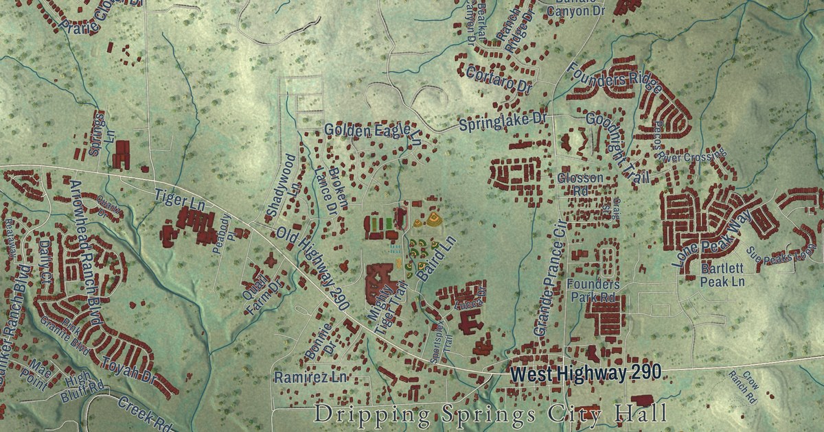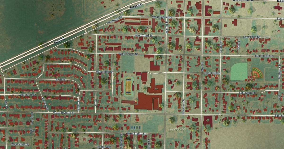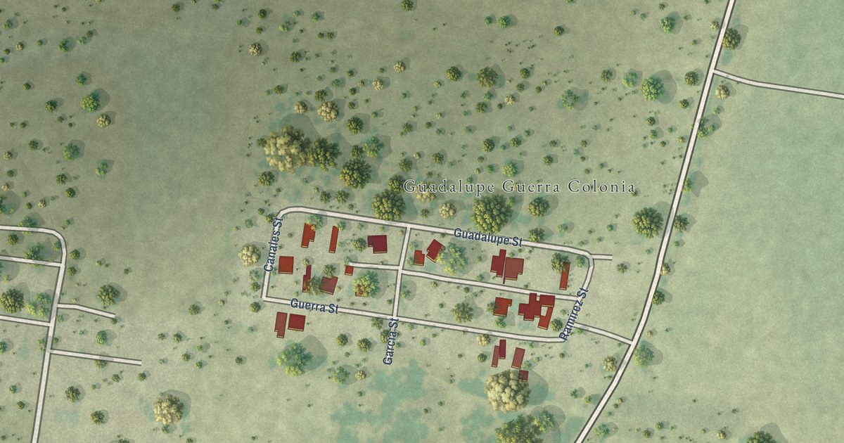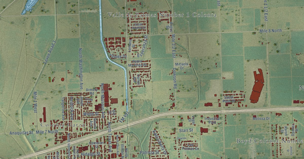
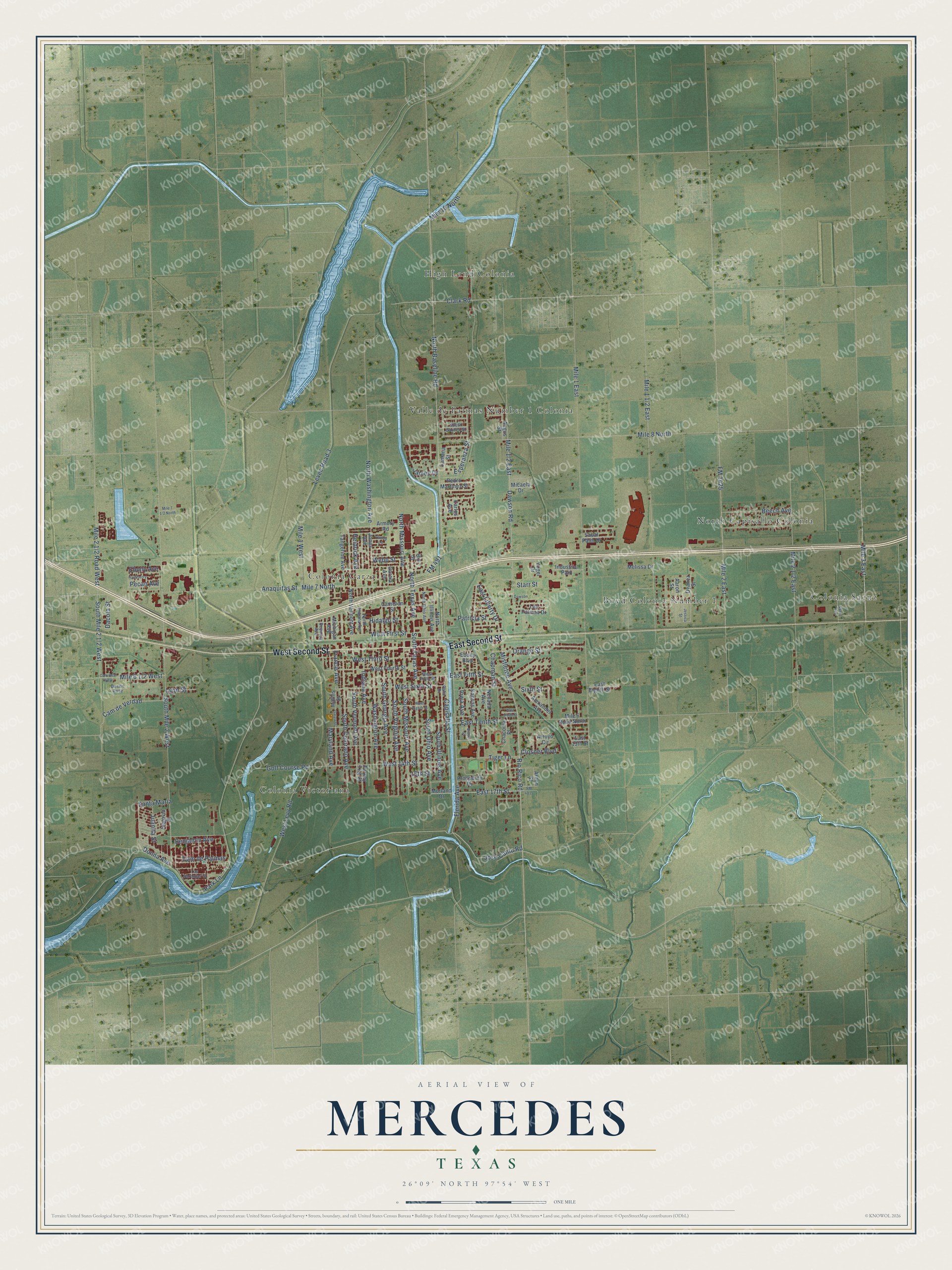
This beautifully detailed map of Mercedes, Texas was created in 2026 using aerial imagery combined with modern topographical, census, street and landmark data. It’s a one-of-a-kind view of Mercedes that combines accurate data with a vintage aesthetic. The map shows every building in its true location, many of the roads carry their names, and the shaded topographic relief shows the shape of the land.
Explore an aerial view of Mercedes, Texas
On the map you’ll find Boyd Colonia Number 1, Colonia Garza, Colonia Saenz, Colonia Victoriana, High Land Colonia, North Capisallo Colonia, and Valle de Palmas Number 1 Colonia, along with East Second Street, West Second Street, Rio Rico Road, East Fifth Street, Jose Cantu Road, and more. If you look closely you can even find your house accurately drawn in its correct location. Zoom in on the preview to look for yours.
Did you know this piece of Mercedes, Texas history?
From the Handbook of Texas: "Mercedes incorporated in 1909, the same year in which it was inundated by a devastating flood."
Take a closer look at the Mercedes map
Street and place names on the Mercedes, Texas map
These names are printed on the map of Mercedes, Texas.
Places: Boyd Colonia Number 1, Colonia Garza, Colonia Saenz, Colonia Victoriana, High Land Colonia, North Capisallo Colonia, Valle de Palmas Number 1 Colonia and Industrial Park.
Streets and roads: East Second Street, West Second Street, Rio Rico Road, East Fifth Street, Jose Cantu Road, East 17th Street, East Liberty Drive, Mistletoe Avenue, Capisallo Street, Dawson Road, Park Lane, South Virginia Avenue.
More street names, A to Z
15th Street, Aaron Street, Alexander Avenue, Anaquitas Street, Angus Street, Arden Street, Armory Road, Arroyo Circle, Beech Avenue, Benjamin Avenue, Bruce Street, Cam de Palmas, Cam de Verdad, Cameron Street, Cam Real Viejo, Carlos Avenue, Chacoma Place, Chapman Street, Cindy Lane, Clark Road, Closner Boulevard, Dacota Street, Dawson, Desert Rose, Donna Avenue, Dyanez Street, East 13th Street, East Eighth Street, East Ninth Street, East Tenth Street, Ebony Avenue, Ebony Boulevard, Esperanza Street, Florida Avenue, FM 491, FM 1425, FM 4815, Francis Avenue, Garcia Avenue, Garza Street, Golf Course Road, Hackberry, Heidrick Avenue, Hidalgo Street, Hill Street, Indiana Avenue, Iowa Avenue, James Drive, Jessica Street, Jones Avenue, Juanita Street, Kansas Avenue, Lantana Street, Las Naranjas Street, Las Palmas Drive, Levee Road 3, Lyon Street, Maryland Avenue, Mathis Street, Melissa Drive, Micaela Drive, Michigan Avenue, Mile 1 East, Mile 1 West, Mile 2 East, Mile 3 East, Mile 6 Road North, Mile 7 North, Mile 8 North, Mile 10 North, Morland Drive, Nevada Avenue, North Baseline Road, North Illinois Avenue, North Indiana Avenue, North Missouri Avenue, North Ohio Avenue, North Texas Avenue, North Vermont Avenue, North Washington Avenue, Orange Street, Palm Drive, Patricia Street, Pecan Avenue, Pedro Martinez Street, Prosperity Drive, Reynosa Avenue, Sabal Palm Drive, Saenz Avenue, Santa Maria, Segovia Street, Sixth Street, South Colorado Avenue, South Garden Street, South Georgia Avenue, South Illinois Avenue, South Mile 2 West, South Missouri Avenue, South Ohio Avenue, South Texas Avenue, South Vermont Avenue, Starr Street, Tangerine Avenue, Tiger Lane, Turkey Trot Street, Vogel Drive, Washington Avenue, Webb Street, West 14th Street, West Eighth Street, West Fifth Street, West First Street, West Fourth Street, West Levy Road, West Sixth Street, West Third Street.
See the Mercedes, Texas map on a wall
The Mercedes map as an 18 x 24 inch print in a black frame.

This beautifully detailed map of Mercedes makes an attractive addition to your office, library, or den, and it can even be used to teach children the geography and history of the area. It also makes a great gift for anyone with Mercedes roots. When you’re done exploring, click here to get your copy of the Mercedes map.