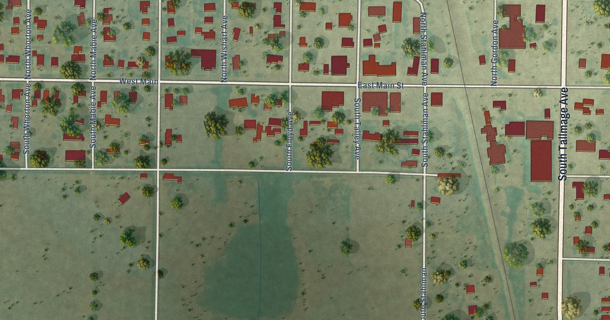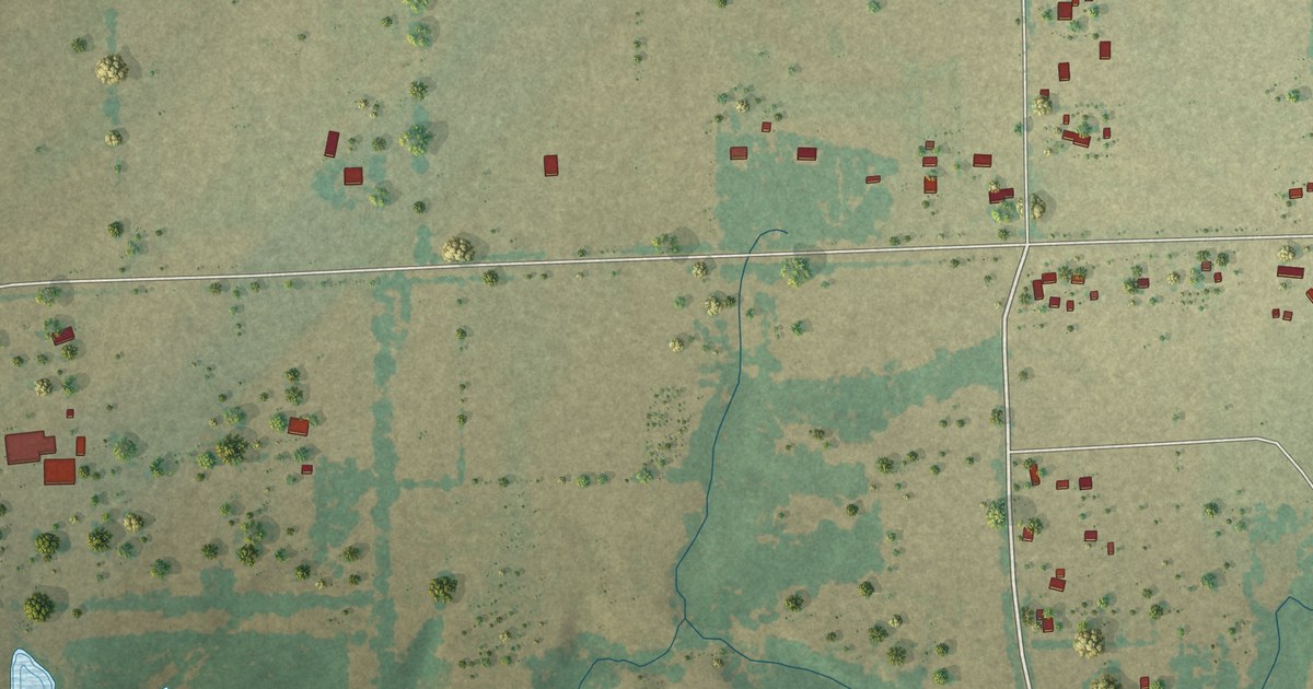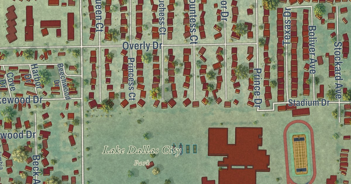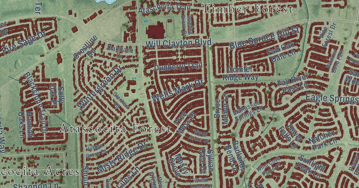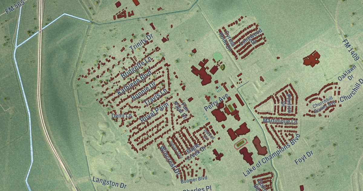
This beautifully detailed map of Mont Belvieu, Texas was created in 2026 using aerial imagery combined with modern topographical, census, street and landmark data. It’s a one-of-a-kind view of Mont Belvieu that combines accurate data with a vintage aesthetic. The map shows every building in its true location, many of the roads carry their names, and the shaded topographic relief shows the shape of the land.
Explore an aerial view of Mont Belvieu, Texas
On the map you’ll find McLeod Park and Charles Place, along with North Main Street, State Loop 207, Highway 146, Fitzgerald Road, Gill Parkway, FM 565 North, Sun Oil Road, North FM 565 Road, Cove Road, Eagle Drive, and more. If you look closely you can even find your house accurately drawn in its correct location. Zoom in on the preview to look for yours.
Did you know this piece of Mont Belvieu, Texas history?
From the Handbook of Texas: "The first commercial production at the Barbers Hill oilfield had begun in 1918, and the Goose Creek and Dayton Railroad was completed through Mont Belvieu the following year."
Take a closer look at the Mont Belvieu map
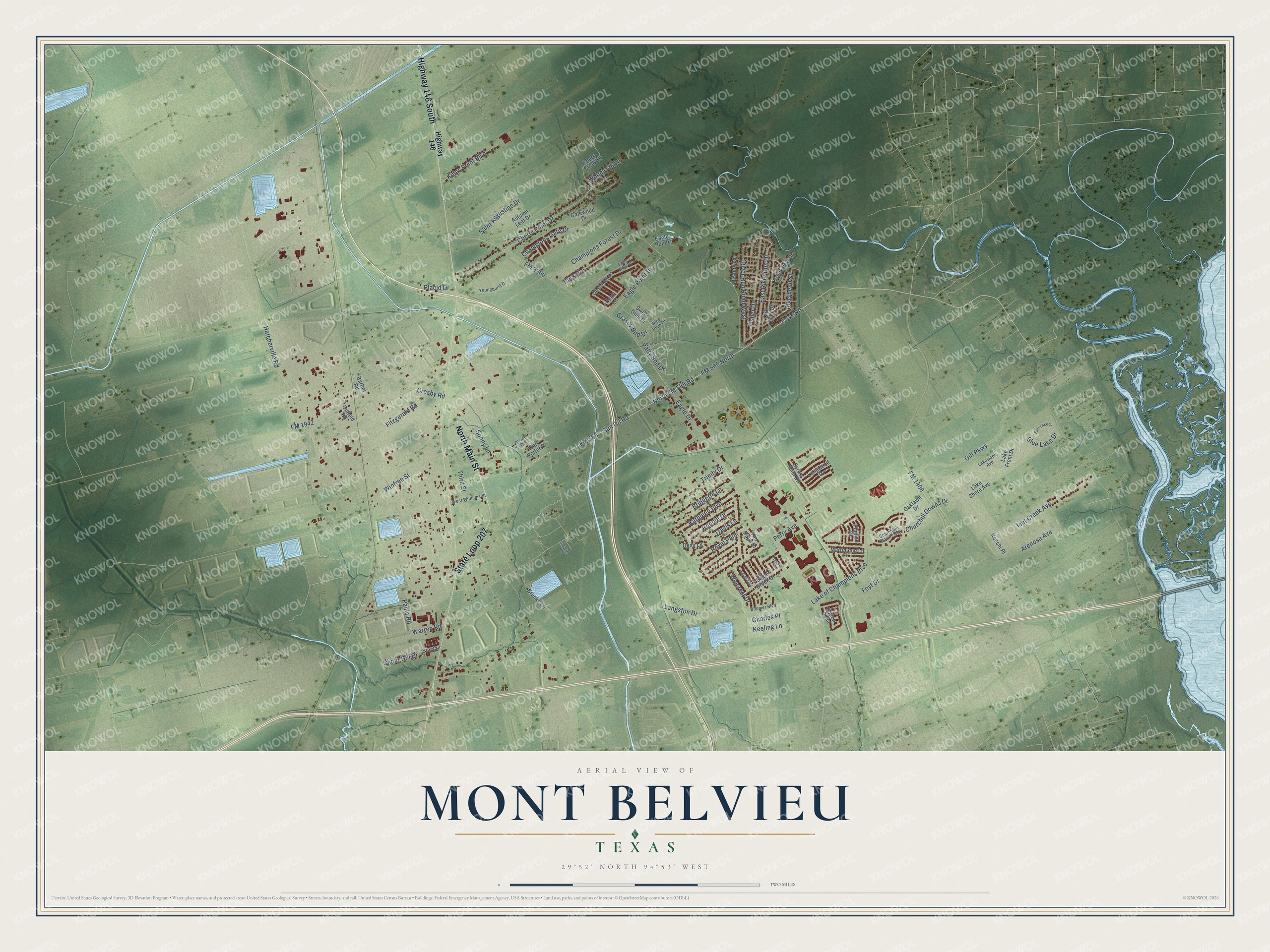
Street names on the Mont Belvieu, Texas map
These names are printed on the map of Mont Belvieu, Texas.
Streets and roads: North Main Street, State Loop 207, Highway 146 South, Sun Oil Road, North FM 565 Road, Cove Road, Fitzgerald Road, Gill Parkway, FM 565 North, Arenosa Avenue, Charles Place, Eagle Drive.
More street names, A to Z
Autumn Leaf Drive, Barber Road, Blue Lake Drive, Boomer Boulevard, Bridgette Lane, Brooke Lane, Burkette, Cedar Hill Drive, Champions Forest Drive, Champions Gate Drive, Cherry Creek Drive, Cherry Point Drive, Churchhill Downs Avenue, Churchill Downs Drive, Cochran Road, Cotton Bend, Creekview Drive, Crosby Road, Cyress Point Drive, Demi Lane, Eagle Creek Drive, Eagle Point Drive, Eagle Pointe, Eagle Ridge Drive, Earl Porter Drive, East Lake Drive, East River Run Drive, Fan Palm Drive, Fisher Drive, FM 565, FM 1409, FM 1942, FM 3360, Foyt Drive, Gatewood Drive, Grassy Bnd Drive, Hatcherville Road, Highway 146, Icet Creek Avenue, Indian Trail, Inwood Circle, Kathleen Boulevard, Keechi Place, Keeling Lane, Kings Point Boulevard, Lake Front Drive, Lake of Champions Boulevard, Lake Shore Avenue, Lakewood Avenue, Langston Drive, Longwood Drive, Martinique Lane, Mystery Lane, Oaklawn Drive, Obsidian Lane, Oilfield Road, Old River Drive, Oliver Drive, Pablo Road, Pearl Lane, Perry Avenue, Pimlico Drive, Placid Drive, Rice View Drive, Riverbend Street, River Run Road West, Ronnie Drive, Royal Palm, Saint Augustine Drive, Salty Bnd Drive, Sinclair, Sonny Lane, Sweet Gum Drive, Third Street, Travis Lane, Trinity Drive, Warren Road, West Williams Street, White Oak Lane, Wincrest Drive, Winfree Street, Youngquist Drive.
See the Mont Belvieu, Texas map on a wall
The Mont Belvieu map as an 18 x 24 inch print in a black frame.

This beautifully detailed map of Mont Belvieu makes an attractive addition to your office, library, or den, and it can even be used to teach children the geography and history of the area. It also makes a great gift for someone who left Mont Belvieu and still calls it home. When you’re done exploring, click here to get your copy of the Mont Belvieu map.