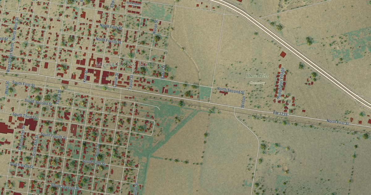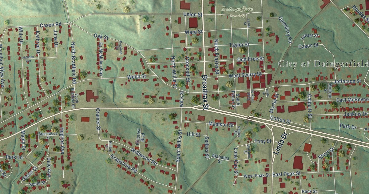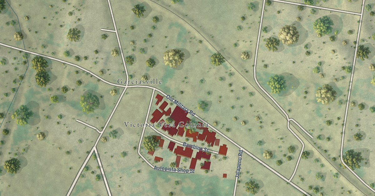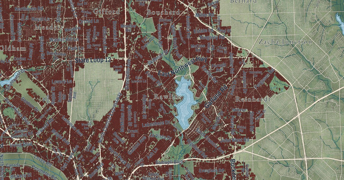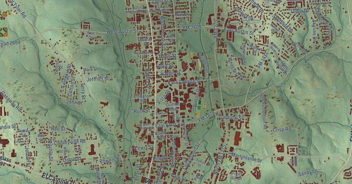
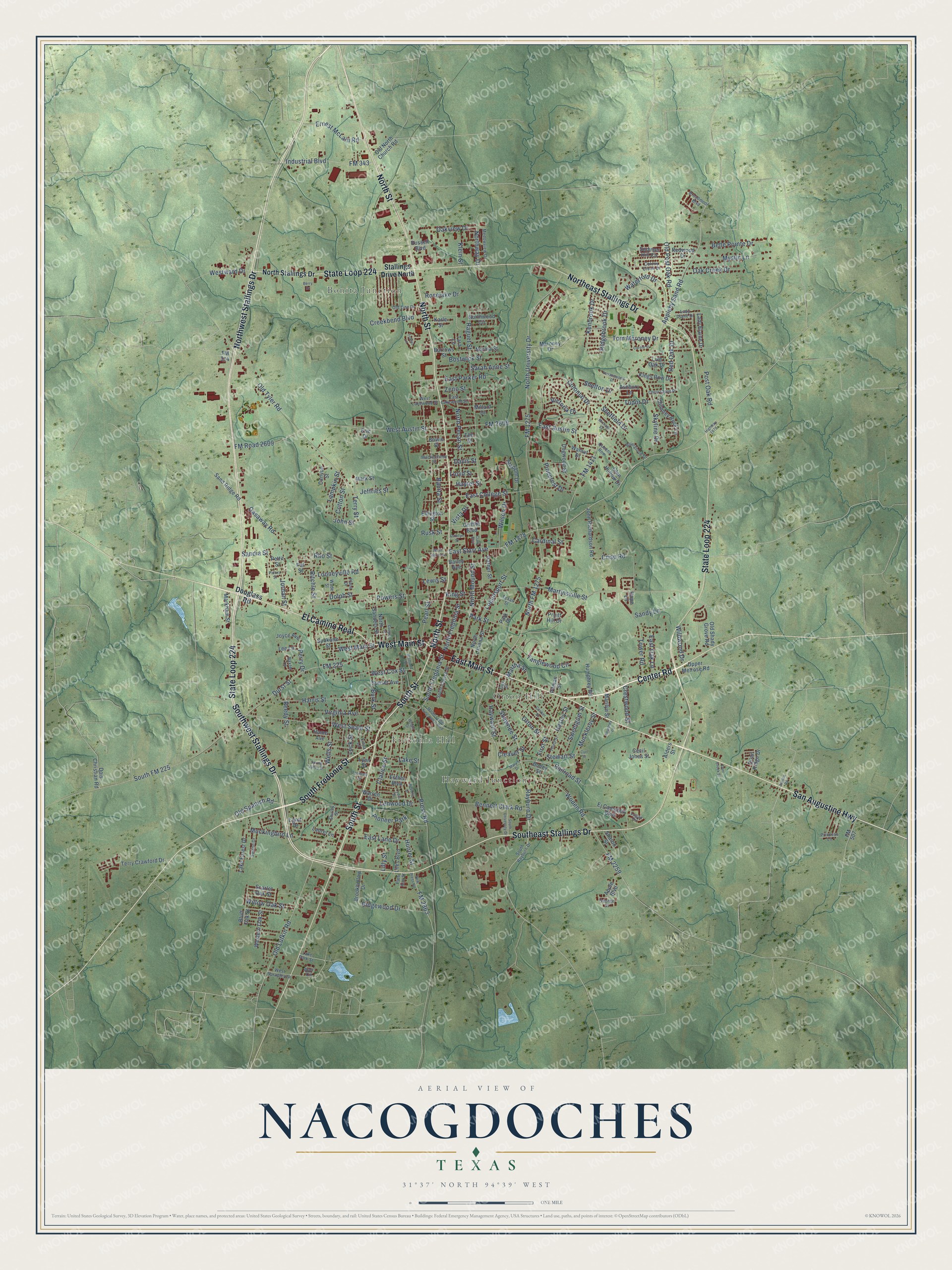
This beautifully detailed map of Nacogdoches, Texas was created in 2026 using aerial imagery combined with modern topographical, census, street and landmark data. It’s a one-of-a-kind view of Nacogdoches that combines accurate data with a vintage aesthetic. The map shows every building in its true location, many of the roads carry their names, and the shaded topographic relief shows the shape of the land.
Explore an aerial view of Nacogdoches, Texas
On the map you’ll find Bonita Junction, Fredonia Hill, Hayward Junction, Orton Hill, Sunset Cemetery, and El Camino Real, along with East Main Street, Southwest Stallings Drive, South Street, Center Road, South Fredonia Street, West Main Street, and more. If you look closely you can even find your house accurately drawn in its correct location. Zoom in on the preview to look for yours.
Did you know this piece of Nacogdoches, Texas history?
From the Handbook of Texas: "In 1812 filibusters Augustus Magee and Bernardo Gutiérrez de Lara proclaimed Texas free from Spain while at Nacogdoches, and they published the first newspaper in Texas, the Gaceta de Tejas, before going on to meet defeat at the hands of Gen. Joaquín de Arredondo at a battle near San Antonio."
Take a closer look at the Nacogdoches map
Street and place names on the Nacogdoches, Texas map
These names are printed on the map of Nacogdoches, Texas.
Places: Bonita Junction, Fredonia Hill, Hayward Junction, Orton Hill, Sunset Cemetery and Pioneer Park.
Streets and roads: East Main Street, Southwest Stallings Drive, South Street, Center Road, South Fredonia Street, El Camino Real, West Main Street, Southeast Stallings Drive, San Augustine Highway, State Loop 224, Northwest Stallings Drive, North Street.
More street names, A to Z
Alders Street, Apple Boulevard, Appleby Sand Road, Ashbury Lane, Bailey Avenue, Banita Street, Baxter Lane, Belle Pointe Drive, Bennett Clark Road, Berry Drive, Beverly Drive, Bluff Oak Street, Boney Street, Bostwick Street, Bowie Street, Bremond Street, Briargrove Drive, Broadmoor Boulevard, Brookhollow Drive, Burk Street, Burrows Street, Canyon Street, Cardinal Street, Cariker Street, Carole Street, Carolyn Street, Cecil Jones Street, Chevy Chase Drive, Chimney Rock Lane, Clarice Street, Clark Boulevard, Cleaver Street, Colonial Drive, Colony Creek Drive, Cooper Street, Cotton Street, Creekbend Boulevard, Crestwood Street, Crisp Road, Curl Street, Davis Street, Dogwood Street, Dois Christian Road, Dolph Street, Dorr Creek Street, Douglass Road, Durst Street, East Austin Street, East College Street, East Lakewood Street, East Lane Drive, East Oak Lane, East Parker Road, East Starr Avenue, Egret Drive, Ej Campbell Boulevard, Ellington Street, Elm Street, Eric Drive, Ernest McLain Road, Esther Boulevard, Ferndale Street, First Street, FM 225, FM 314, FM 343, FM 507, FM 1275, FM 1411, FM 1878, FM 2259, FM 2609, FM 2863, FM Road 2609, Forest Lane, Garner Street, Gasaway Road, George Street, Glen Hollow Drive, Griffith Boulevard, Guy Street, Harris Street, Hasley Street, Hayter Street, Hayward Street, Highway 1878, Home Avenue, Hope Lane, Humphrey Road, Hunter Street, Industrial Boulevard, Jeffries Street, John Richardson Road, John Street, Jordan Street, Joyce Avenue, Justice Road, Karle Street, Kenbrook Drive, Kings Row Drive, King Street, Klein Street, Kourtney Lane, Lady Diane Drive, Lady Elaine Drive, Lake Forest Drive, Lake Park Street, Lake Street, Lampkin Street, Laurel Lane, Lee Lane, Lenwood Drive, Lewis Street, Liles Boulevard, Lilly Street, Linda Lane, Live Oak Drive, Lloyd Street, Lock Street, Logan Circle, Logansport Street, Looneyville Road, Lydia Street, Lynn Street, Mackechney Street, Marilyn Street, Markham Street, Mark Street, Maroney Drive, Martha Street, Martin Luther King Junior Boulevard, Martinsville Street, Mary's Drive, Medowview Drive, Michael Street, Millard Drive, Mockingbird Lane, Muckleroy Street, Mystic Lane, New Press Road, Norma Street, Northeast Stallings Drive, North FM 1275, North Fredonia Street, North Lanana Street, North Mound Street, North Pecan Street, North Sanders Street, North Stallings Drive, North University Drive, Northway Drive, Northwood Circle, Oak Creek Drive, Oakview Drive, Old Line Drive, Old Lufkin Road, Old North Church Road, Old Post Oak Road, Old Shady Grove Road, Old Spanish Road, Old Tyler Road, Orton Street, Paluxy Street, Park Place, Park Street, Pat Street, Patti Ann Street, Pearl Street, Perry Drive, Pettit Street, Pinecrest Drive, Pitman Street, Plaza Drive, Post Oak Road, Powers Street, Press Road, Princess Lane, Pruitt Hill Drive, Quail Ridge Drive, Queens Row, Raguet Street, Railroad Street, Rayburn Drive, Red Oak Drive, Redwood Drive, Reedy Street, Rho Street, Ridgebrook Drive, Ridgewood Drive, Ritchie Street, Roselake Drive, Rusk Street, Russell Boulevard, Sandia Street, Sand Ridge Road, Sandy Lane, Sarah Anne Street, Scarlet Oak Street, Sharon Street, Shawnee Street, Sheffield Drive, Shelton Drive, Shirley Street, Skyline Drive, South Church Street, South FM 225, South Rayburn Drive, South University Drive, Spokane Street, Spring Valley Drive, Stadium Drive, Stallings Drive North, Stewart Street, Summer Hill Circle, Sunset Avenue, Swann Drive, Sweetgum Street, Tanglewood Circle, Tara Lane, Terracewood Drive, Terry Crawford Drive, Terry Street, Texas Street, Third Street, Tom Maroney Drive, Tower Road, Tudor Drive, Upper Melrose Road, Victoria Drive, Virginia Avenue, Vista Drive, Wade Street, Walnut Drive, Warr Circle, Warren Drive, Waterford Drive, Wells Street, West Austin Street, West Cox Street, Western Oak Street, West Lakewood Street, West Seale Street, West Spradley Street, West Starr Avenue, Westward Drive, Wildwood Drive, Willow Oak Street, Wilson Drive, Woden Road, Wright Drive, Zeno Street.
See the Nacogdoches, Texas map on a wall
The Nacogdoches map as an 18 x 24 inch print in a black frame.

This beautifully detailed map of Nacogdoches makes an attractive addition to your office, library, or den, and it can even be used to teach children the geography and history of the area. It also makes a great gift for anyone who grew up in Nacogdoches or moved away. When you’re done exploring, click here to get your copy of the Nacogdoches map.