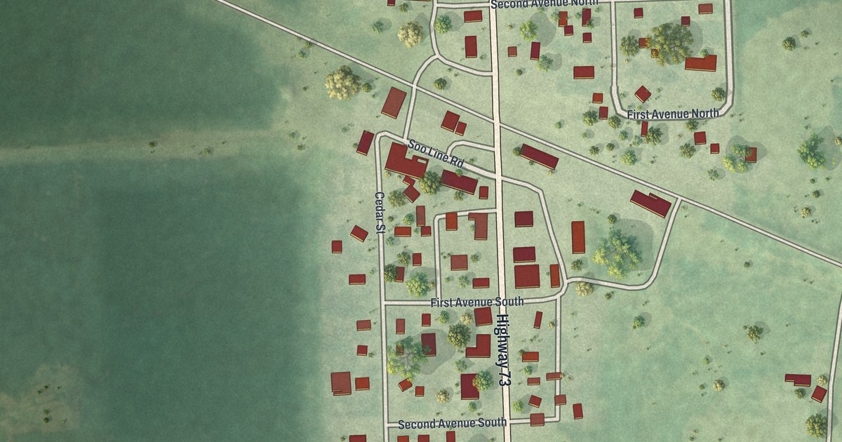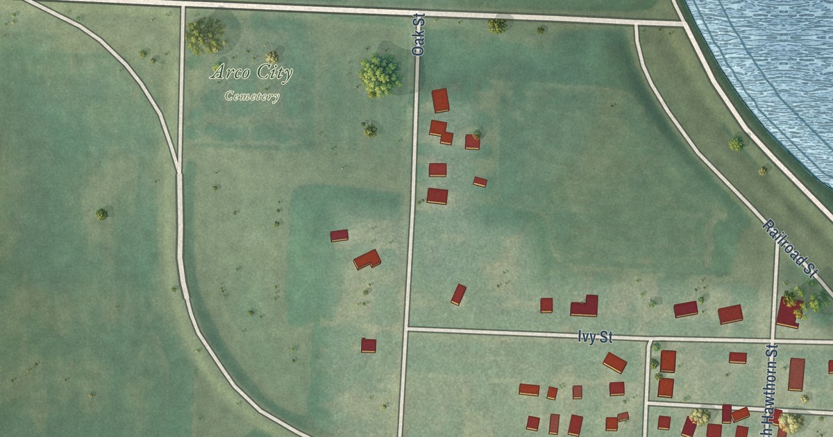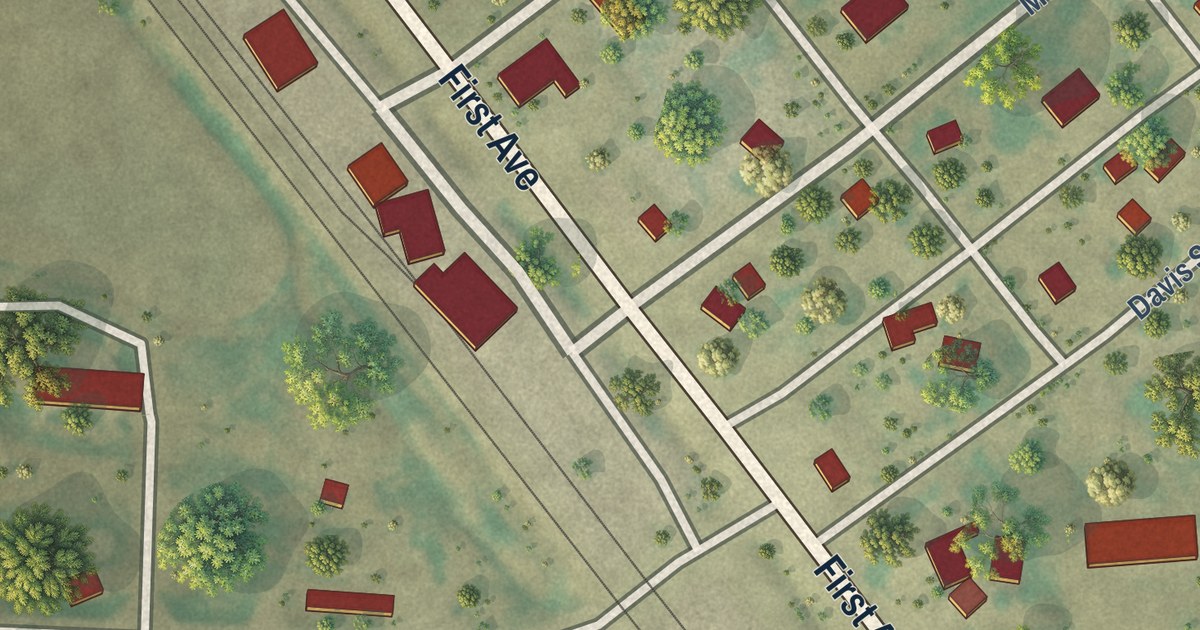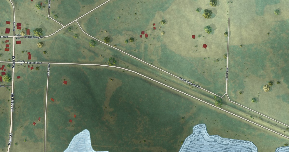
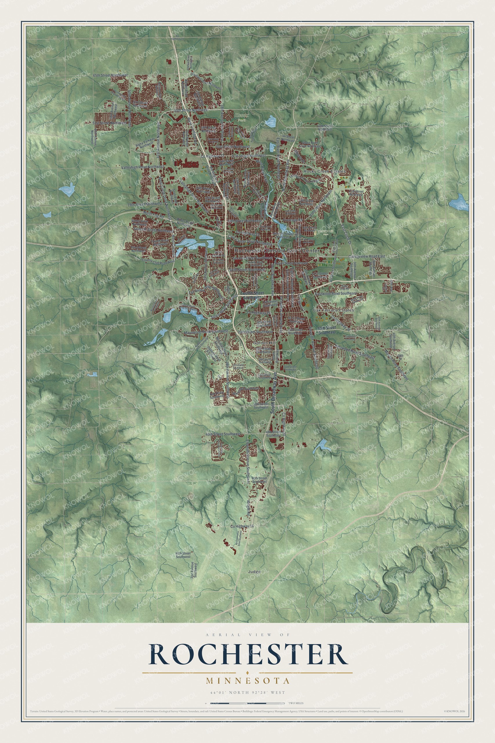
This beautifully detailed map of Rochester, Minnesota was created in 2026 using aerial imagery combined with modern topographical, census, street and landmark data. It’s a one-of-a-kind view of Rochester that combines accurate data with a vintage aesthetic. The map shows every building in its true location, many of the roads carry their names, and the shaded topographic relief shows the shape of the land.
Explore an aerial view of Rochester, Minnesota
On the map you’ll find Rochester-Olmsted Gov’t Center, Essex Park, Quarry Hill Park, Golden Hill, Judge, Oak Terrace Estates, and Rocky Creek Estates, along with South Broadway Avenue, 55th Street Northwest, West Circle Drive, Frontage Road, North Broadway Avenue, and more. If you look closely you can even find your house accurately drawn in its correct location. Zoom in on the preview to look for yours.
Did you know this piece of Rochester, Minnesota history?
From the History of Olmsted County: "The Winona & St. Peter (now the Chicago & Northwestern) Railroad was built across the county from east to west in the summer of 1864, reaching Rochester that fall."
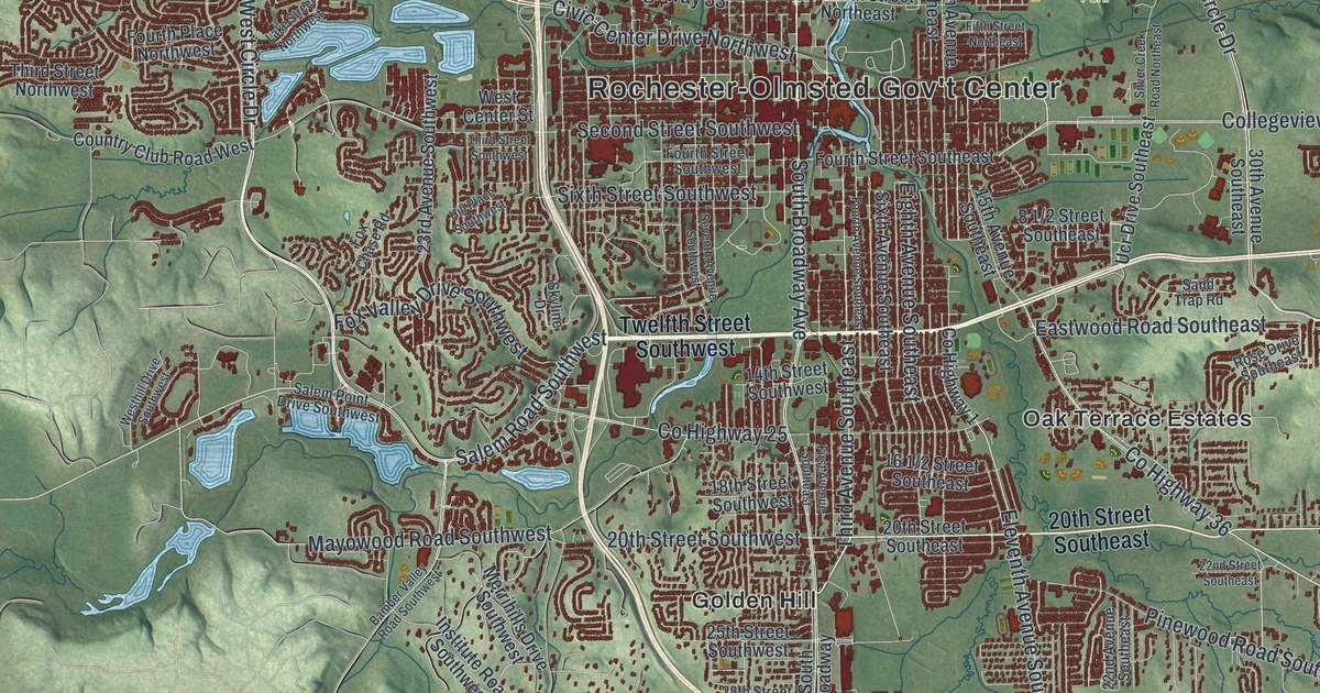
Take a closer look at the Rochester map
Street and place names on the Rochester, Minnesota map
These names are printed on the map of Rochester, Minnesota.
Places: Rochester-Olmsted Gov't Center, Essex Park, Quarry Hill Park, Golden Hill, Judge, Oak Terrace Estates and Rocky Creek Estates.
Streets and roads: South Broadway Avenue, 55th Street Northwest, West Circle Drive, Frontage Road, North Broadway Avenue, Salem Road Southwest, County Highway 36, County Highway 25, Third Avenue Southeast, Viola Road Northeast, County Highway 20, Seventh Street Northwest.
More street names, A to Z
13th Avenue Northwest, 14th Avenue Northwest, 14th Street Northwest, 14th Street Southwest, 15th Avenue Southeast, 16th Street Northeast, 17th Avenue Northwest, 18th Avenue Northwest, 18th Avenue Southwest, 18th Street Northwest, 18th Street Southwest, 19th Street Northeast, 19th Street Northwest, 20th Street Northwest, 20th Street Southeast, 20th Street Southwest, 21st Street Northeast, 22nd Avenue Southeast, 22nd Street Southeast, 23rd Avenue Southwest, 24th Street Northwest, 25th Avenue Northwest, 25th Street Southwest, 28th Street, 28th Street Southwest, 30th Avenue Southeast, 30th Street Southeast, 30th Street Southwest, 31st Avenue Northwest, 31st Avenue Southwest, 31st Street Northwest, 33rd Street Southwest, 34th Street Northwest, 36th Avenue Southeast, 36th Street Southwest, 37th Avenue Southeast, 37th Street Northwest, 40th Avenue, 40th Avenue Southeast, 40th Street Southwest, 41st Avenue Northwest, 41st Street Northwest, 42nd Street Northwest, 44 Street Northeast, 48th Street Northeast, 48th Street Northwest, 48th Street Southeast, 48th Street Southwest, 50th Avenue Northwest, 51st Street Northwest, 55th Avenue Northwest, 57th Street Northwest, 60th Avenue Northwest, 60th Street Southwest, 65th Street Northwest, 80th Street Southwest, Air Commerce Drive Southwest, Alberta Drive, Alpha Parkway Northwest, Assisi Drive Northwest, Bamber Valley Road Southwest, Bandel Road Northwest, Broadway Avenue North, Civic Center Drive Northwest, Clarkia Drive Northwest, Collegeview Road East, Country Club Road West, County Highway 1, County Highway 4, County Highway 14, County Highway 16, County Highway 22, County Highway 33, East Circle Drive, East River Road Northeast, Eastwood Road Southeast, Eighth Avenue Southeast, Eleventh Avenue Northeast, Eleventh Avenue Southeast, Eleventh Avenue Southwest, Elton Hills Drive Northwest, Essex Parkway Northwest, Fifth Street Northeast, First Avenue Southeast, Fourth Avenue Southeast, Fourth Place Northwest, Fourth Street Southeast, Fourth Street Southwest, Fox Chase Road, Fox Valley Drive Southwest, Golfers Court, Hart Drive Southwest, Hill Place Southwest, Hillsboro Drive Northwest, Institute Road Southwest, Lake Street Northwest, Marion Road Southeast, Marketplace Drive Northwest, Mayowood Road Southwest, Merrihills Drive Southwest, Ninth Avenue Northwest, Ninth Street Northeast, North Frtg Road, Overland Drive Northwest, Pinewood Road Southeast, Rocky Creek Drive Northeast, Rose Drive Southeast, Salem Point Drive Southwest, Sand Trap Road, Scenic Oak Drive Southwest, Scott Road Northwest, Second Street Southwest, Seventh Avenue Southwest, Seventh Street Northeast, Silver Creek Road Northeast, Sixth Avenue Southeast, Sixth Street Southwest, Skyline Drive, South Broadway, Stone Point Drive Northeast, Tenth Street Northwest, Thea Lane, Third Avenue Northwest, Third Street Northwest, Third Street Southwest, Twelfth Street Southwest, Ucr Drive Southeast, Valley Drive Northwest, Valleyhigh Drive Northwest, Valleyhigh Road Northwest, Weatherstone Drive Northwest, West Center Street, West Circle Drive Northwest, West Frontage Road, Westhill Drive Southwest, West River Parkway, West River Road Northwest, Wilder Road Northwest, Wright Road.
See the Rochester, Minnesota map on a wall
The Rochester map as an 18 x 24 inch print in a black frame.

This beautifully detailed map of Rochester makes an attractive addition to your office, library, or den, and it can even be used to teach children the geography and history of the area. It also makes a great gift for anyone who grew up in Rochester or moved away. When you’re done exploring, click here to get your copy of the Rochester map.