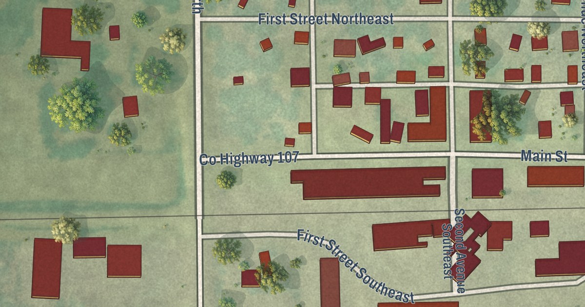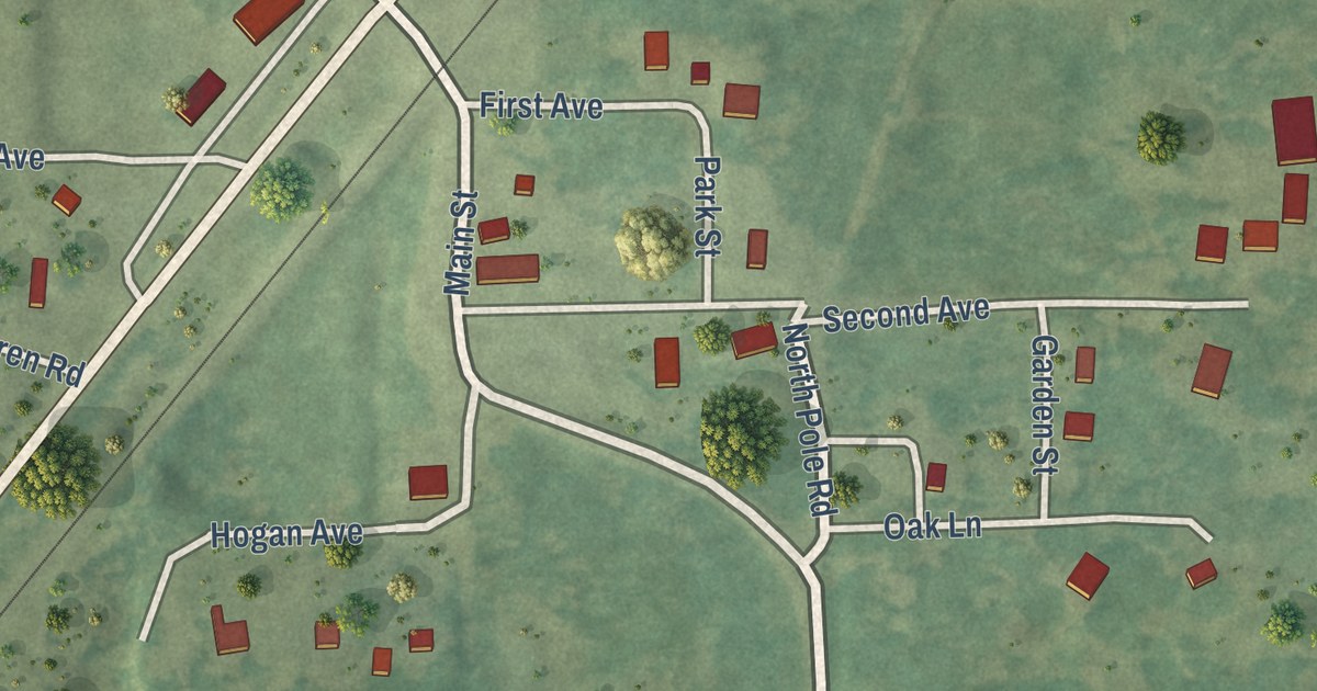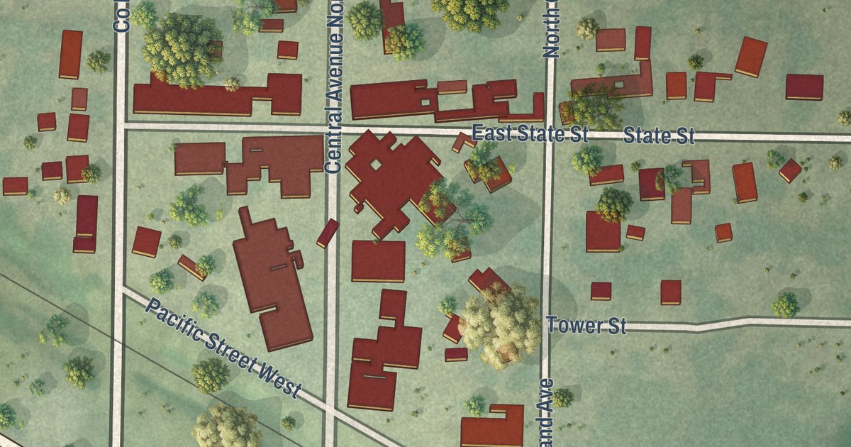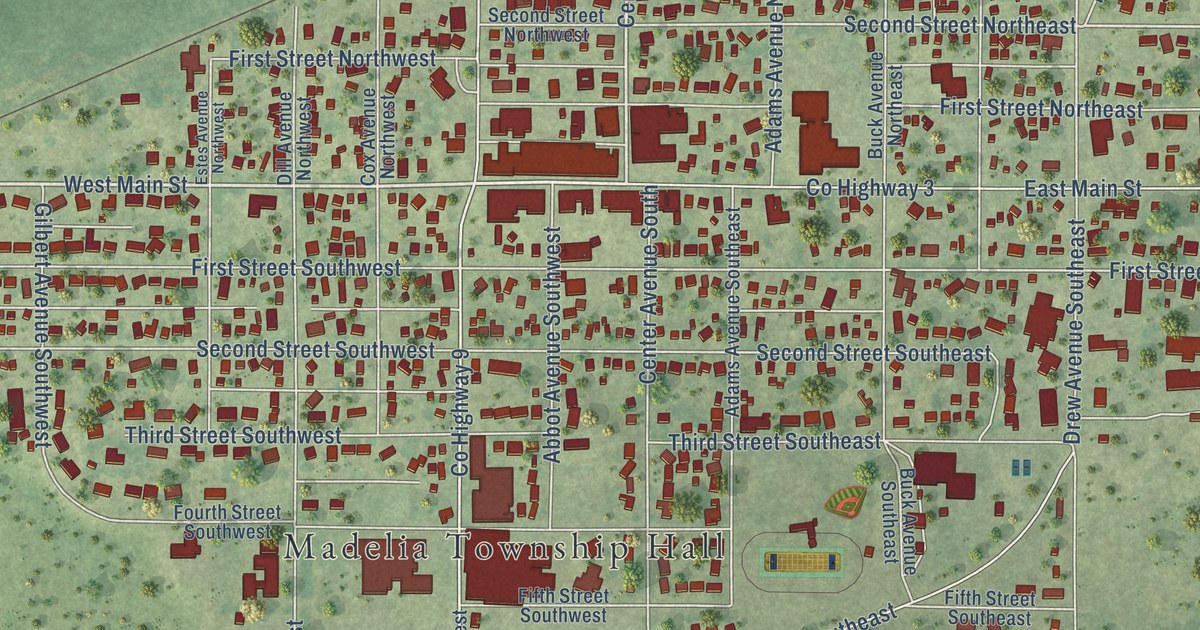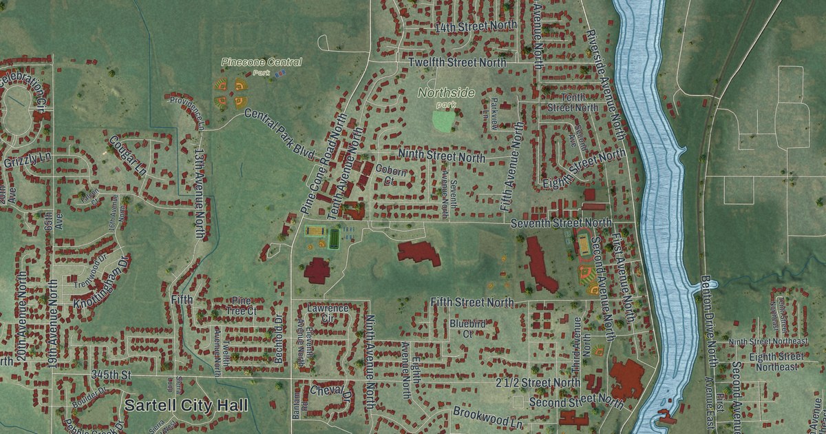
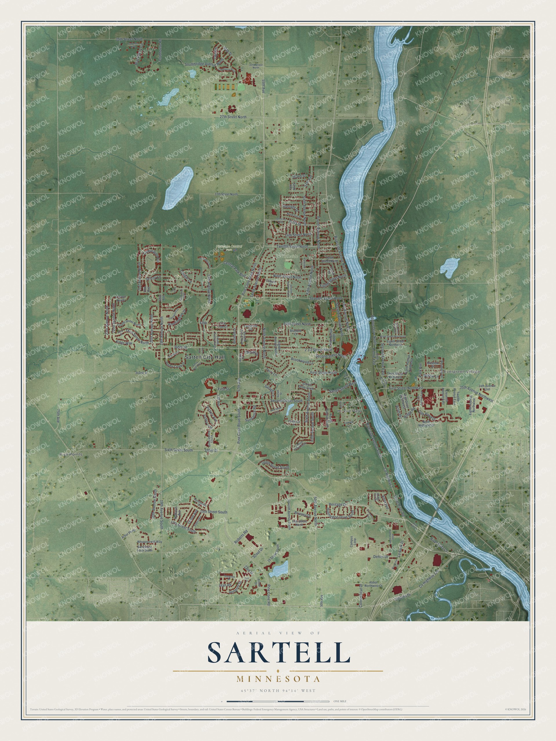
This beautifully detailed map of Sartell, Minnesota was created in 2026 using aerial imagery combined with modern topographical, census, street and landmark data. It’s a one-of-a-kind view of Sartell that combines accurate data with a vintage aesthetic. The map shows every building in its true location, many of the roads carry their names, and the shaded topographic relief shows the shape of the land.
Explore an aerial view of Sartell, Minnesota
On the map you’ll find Sartell City Hall, Evergreen Village, Hi-Vue Park, Northside park, Pinecone Central Park, and Five Points, along with County Highway 120, Riverside Avenue North, County Highway 1, Riverside Avenue South, Tenth Avenue North, River Vista Lane, and more. If you look closely you can even find your house accurately drawn in its correct location. Zoom in on the preview to look for yours.
Did you know this piece of Sartell, Minnesota history?
From the 1920 Minnesota Geographic Names: "Sartell, a village on the Mississippi in Le Sauk, at the mouth of Watab river, opposite to the great paper mill of the Watab Pulp and Paper Company, is named in honor of Joseph B. Sartell, the first settler of Le Sauk, who came in 1854, built a sawmill in 1857, and continued to reside here, with seven sons, until his death, January 27, 1913."
Take a closer look at the Sartell map
Street and place names on the Sartell, Minnesota map
These names are printed on the map of Sartell, Minnesota.
Places: Sartell City Hall, Evergreen Village, Hi-Vue Park, Northside Park, Pinecone Central Park and Five Points.
Streets and roads: County Highway 120, Riverside Avenue North, County Highway 1, Riverside Avenue South, Tenth Avenue North, River Vista Lane, 50th Avenue North, Twelfth Street North, Pine Cone Road South, Le Sauk Drive, Roberts Road, 335th Street.
More street names, A to Z
6 Street North, 13th Avenue, 13th Avenue North, 14th Avenue East, 14th Street North, 15th Street North, 15th Street South, 16th Avenue North, 16th Street North, 17th Street North, 17th Street South, 19 Street South, 19th Avenue North, 19th Avenue South, 20th Avenue, 20th Avenue North, 20th Avenue South, 21st Avenue North, 22nd Avenue North, 22nd Street, 23rd Avenue North, 23rd Street, 27th Street North, 32nd Avenue North, 32nd Street North, 34th Street North, 35th Avenue Northwest, 35th Street, 35th Street North, 50th Avenue, 51st Avenue, 52nd Avenue, 55th Avenue, 57th Avenue, 65th Avenue, 75th Avenue, 342nd Street, 345th Street, 357th Street, 362nd Street, Abbot Northwest Court, Amber Avenue South, Anna Avenue, Arbor Parkway, Bantam Road, Bechtold Drive, Benton Drive North, Blackberry Circle, Bluebird Court, Boulder Drive, Brianna Drive, Bridge Port Drive, Brookwood Lane, Campus Loop, Celebration Circle, Central Park Boulevard, Cheval Drive, Clubhouse Road, Coborn Court, Connecticut Avenue, Connecticut Drive, Cougar Lane, Dehler Drive, Delores Drive, Edinburgh Street, Eighth Avenue North, Eighth Avenue Northwest, Eighth Street North, Eighth Street Northeast, Eleventh Avenue East, Eleventh Avenue North, Falcon Court, Fifth, Fifth Avenue East, Fifth Avenue North, Fifth Avenue South, Fifth Street North, First Avenue East, First Avenue North, First Street, First Street North, First Street Northeast, Fourth Avenue North, Fourth Avenue Northeast, Fourth Avenue South, Fourth Street North, Great River Road, Grizzly Lane, Heritage Drive, High Drive Southwest, Huntington Drive South, Kings Way, Knottingham Drive, Lawrence Circle, Lowell Lane, Meadow Drive, Mockingbird Drive, Ninth Avenue North, Ninth Street North, Ninth Street Northeast, North Benton Drive, North Highland Drive, North Star Drive, Nuthatch Avenue, Oak Pond Drive, Oriole Avenue, Park Avenue, Parkview Lane, Pebble Creek Drive, Perimeter Drive, Pine Cone Road, Pine Cone Road North, Pinesisker, Pine Tree Court, Providence Lane, Ridge Road, River Oaks Lane, River Street, Sandstone Loop South, Sartell Lane, Sartell Street, Sartell Street West, Scenic Drive South, Scott Drive, Scout Drive, Second Avenue, Second Avenue East, Second Avenue North, Second Street North, Second Street South, Seventh Avenue North, Seventh Avenue South, Seventh Street North, Seventh Street South, Sierra Court West, Sierra Loop, Sixth Avenue North, Sixth Avenue South, Sixth Street South, Southbridge Avenue North, Starlight Drive, Sundance Road, Sunset Avenue, Tennesee Drive, Tenth Street North, Tenth Street Northeast, Tenth Street South, Terry Lane, Third Avenue North, Third Street, Third Street North, Third Street Northeast, Third Street South, Trentwood Drive, Troop Drive, Twelfth, Twelfth Avenue East, Twelfth Avenue North, Utah Road, Vermont Drive, Victory Avenue, Victory Avenue South, Victory Loop, Whippoorwill Way, Willow Lane, Woodcrest Circle.
See the Sartell, Minnesota map on a wall
The Sartell map as an 18 x 24 inch print in a black frame.

This beautifully detailed map of Sartell makes an attractive addition to your office, library, or den, and it can even be used to teach children the geography and history of the area. It also makes a great gift for someone who left Sartell and still calls it home. When you’re done exploring, click here to get your copy of the Sartell map.