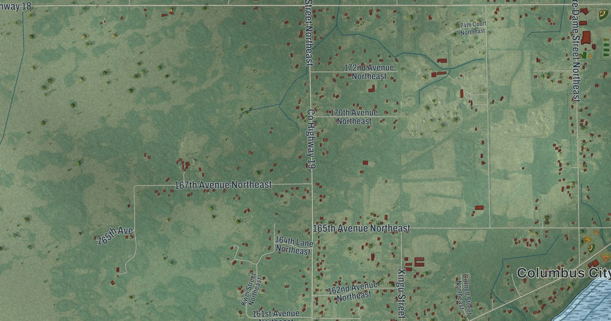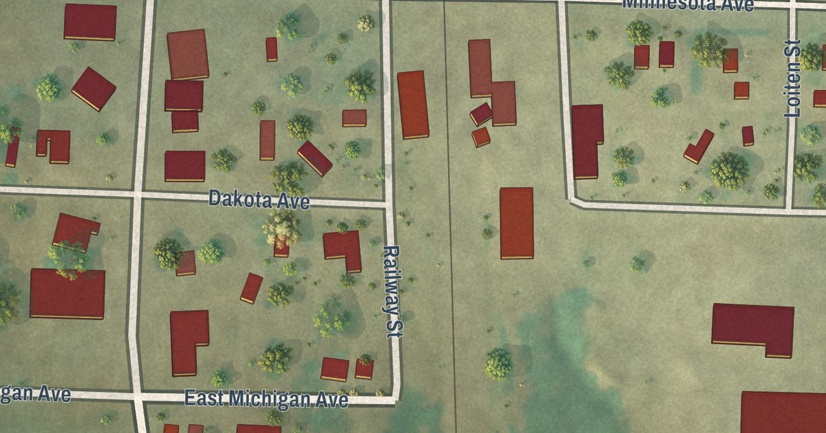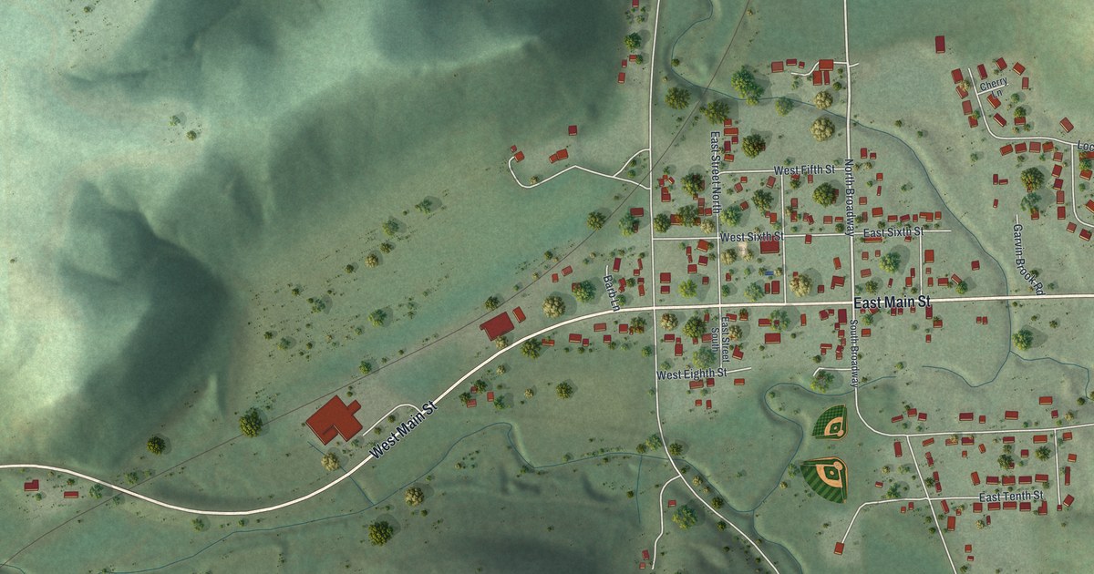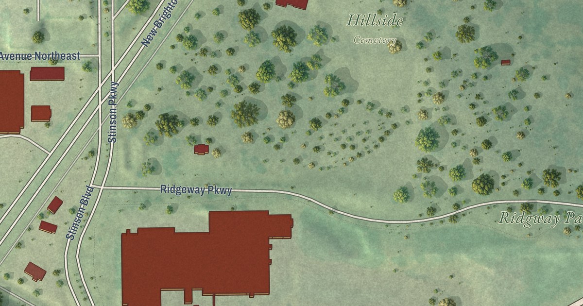
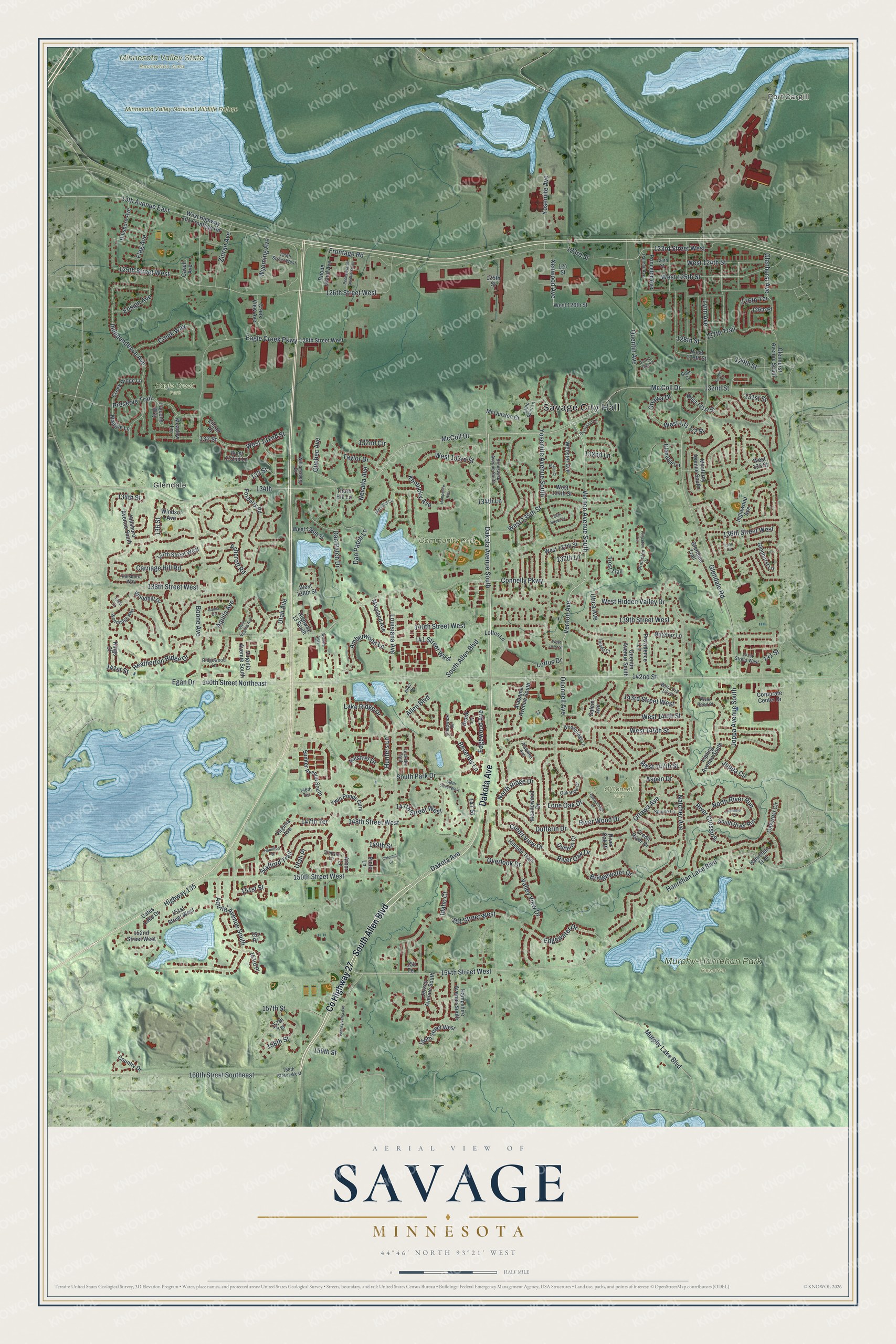
This beautifully detailed map of Savage, Minnesota was created in 2026 using aerial imagery combined with modern topographical, census, street and landmark data. It’s a one-of-a-kind view of Savage that combines accurate data with a vintage aesthetic. The map shows every building in its true location, many of the roads carry their names, and the shaded topographic relief shows the shape of the land.
Explore an aerial view of Savage, Minnesota
On the map you’ll find Savage City Hall, Port Cargill, Glendale, Community Park, Eagle Creek Park, Minnesota Valley National Wildlife Refuge, Minnesota Valley State Recreation Area, Murphy-Hanrehan Park Reserve, and O’Connell Park, along with County Highway 27, South Allen Boulevard, Dakota Avenue, and more. If you look closely you can even find your house accurately drawn in its correct location. Zoom in on the preview to look for yours.
Did you know this piece of Savage, Minnesota history?
From Warren Upham’s 1920 Minnesota Geographic Names: "Savage, a railway village in the northeast corner of Glendale, after being called Hamilton during many years, was renamed in honor of Marion Willis Savage, who here owned a horse-training farm, with a covered track for practice in racing."
Take a closer look at the Savage map
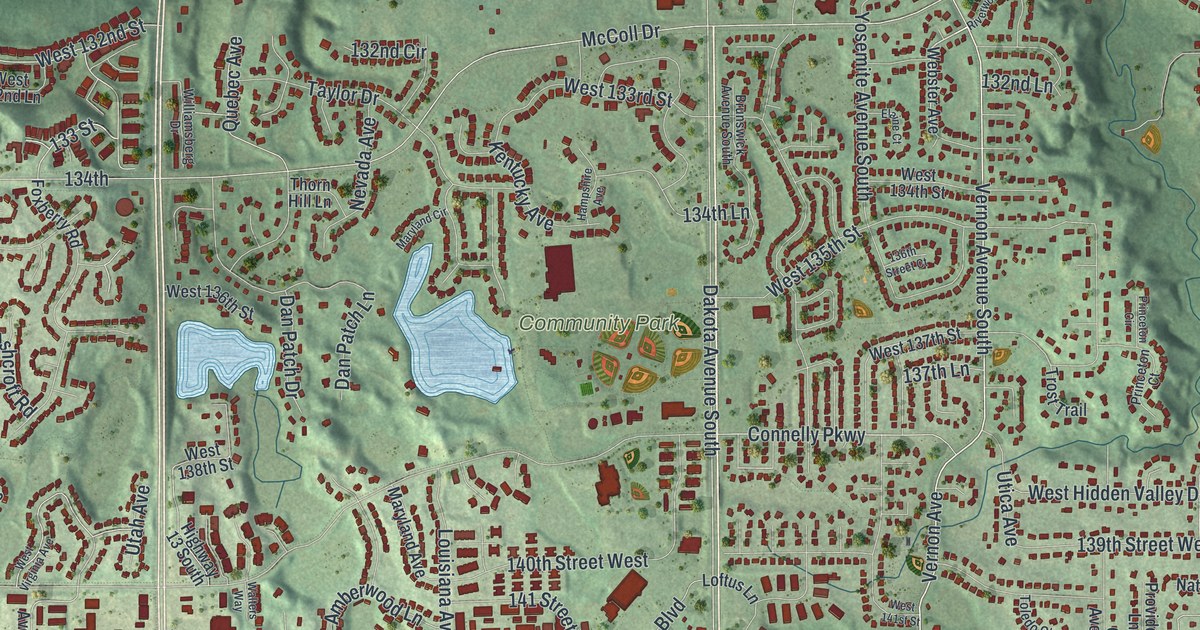
Street and place names on the Savage, Minnesota map
These names are printed on the map of Savage, Minnesota.
Places: Savage City Hall, Port Cargill, Glendale, Community Park, Eagle Creek Park, Minnesota Valley National Wildlife Refuge, Minnesota Valley State Recreation Area, Murphy-Hanrehan Park Reserve and O'Connell Park.
Streets and roads: County Highway 27, South Allen Boulevard, Dakota Avenue, Vernon Avenue, Vernon Avenue South, West 132nd Street, Oconnell Avenue, Ottawa Avenue, West 144th Street, 131st Street, Carriage Hill Road, West 133rd Street.
More street names, A to Z
13th Avenue East, 123rd Street, 123rd Street West, 124 Street, 124th Street, 124th Street West, 125th Street, 125th Street West, 126th Place, 126th Street West, 126th Terrace, 127th Trail, 128th Street, 128th Street West, 129th Street, 130th Saint Lane, 132 Street, 132nd Circle, 132nd Lane, 132nd Street, 133 Street, 134th, 134th Lane, 134th Street, 136 Street, 136th Street Court, 136th Street West, 137th Lane, 137th Street West, 138th Court, 138th Street West, 139th Street West, 140th Street Northeast, 140th Street West, 141 Street, 141 Street West, 141st Street, 141st Street West, 142nd Street, 143rd Street West, 146th Street West, 146th Terrace, 147 Street, 147th Street West, 147th Terrace, 148th Street West, 149th Street, 150th Street West, 151 Street West, 151st Street, 151st Street West, 152 Place, 152nd Street West, 153 Terrace, 153rd Place, 154th Street West, 156th Street West, 157th Street, 157th Terrace, 158th Street, 158th Street West, 159th Street, 160th Street Southeast, Alabama Avenue, Alabama Avenue South, Allen Boulevard, Allen Drive, Amberwood Lane, Aquila Avenue, Aquila Avenue South, Aquila Circle, Arbor Lane, Ashcroft Road, Aspen Drive, Beverley Lane, Bohn Court, Boone Avenue, Bridgewater Drive, Brook Lane, Brunswick Avenue South, Calumet Court, Cates Lake Drive, Cavell Avenue, Chadwick Drive, Connelly Parkway, Corporate Center Drive, Country Drive, Credit River Drive, Credit View Drive, Creek Ridge Lane, Creek View Avenue, Creek Way, Crimson Lane, Dakota Avenue South, Dan Patch Drive, Dan Patch Lane, Dufferin Court, Dufferin Drive, Eagle Creek Parkway, Edgewater Drive, Edgewood Avenue, Egan Drive, Elaine Court, Ensign Avenue, Falcons Way, Flag Avenue, Forest Glen Court, Foxberry Road, Frontage Road, Glendale Lane, Glendale Road, Glendale Trail, Glenhurst Avenue, Glenhurst Avenue South, Glenhurst Lane, Hamilton Road, Hampshire Avenue, Hampshire Avenue South, Hanrehan Lake Boulevard, Hanrehan Trail, Heatherton Ridge Drive, Highway 13 South, Highway 135, Hillsboro Avenue, Hillsboro Avenue South, Hillsboro Way, Hillside Trail, Hunters Lane, Idaho Court, Independence Avenue, Inglewood Avenue, Jersey Avenue South, Joppa Avenue South, Joppa Circle, Kelleher Court, Kentucky Avenue, Kestrel Drive, Kings Court, Kipling Avenue South, Lake Ridge Drive, Lockslie Trail, Loftus Drive, Loftus Lane, Lone Oak Drive, Louisiana Avenue, Lynn Avenue, Lynn Circle, Maggie Lane, Maryland Avenue, Maryland Circle, Mc Coll Drive, McColl Drive, McQuiston Court, Meadow Lane, Meadowood Drive, Monterey Avenue South, Murphy Lake Boulevard, Natchez Avenue, Natchez Lane, Nevada Avenue, North Ridge Drive, North River Run, Oakborough Drive, Oakcrest Circle, Oak View Court, Ottawa Drive, Overlook Drive, Palmer Avenue, Pennsylvania Avenue, Pennsylvania Avenue South, Pinto Lane, Preserve Trail, Princeton Avenue, Princeton Circle, Princeton Court, Providence Lane, Quebec Avenue, Quentin Avenue, Quentin Avenue South, Rhode Island Avenue, Ridgewood Lane, River Bend Place, River Crossing, River Oak Drive, River Oak Place, River Wood Drive, Riverwood Lane, Salem Avenue, South Park Drive, South River Run, Spruce Lane, Stafford Trail, Sumter Avenue South, Taylor Drive, Thorn Hill Lane, Timber Court, Toledo Court, Trost Trail, Twin Ponds Curv, Utah Avenue, Utah Place, Utica Avenue, Valley View Drive, Virginia Avenue, Virginia Avenue South, Walters Way, Webster Avenue, West 124th Street, West 125th Street, West 126th Street, West 129th Street, West 131st Street, West 132nd Lane, West 133 Street, West 134th Street, West 135th Street, West 136th Street, West 137th Street, West 138th Street, West 141st Street, West 145th Street, West 147th Street, West Hidden Valley Drive, West Highway 101 Frontage Road, West Virginia Avenue, Williamsberg Drive, Windsor Avenue, Woodbridge Lane, Woodhill Drive, Woodridge Way, Wyoming Avenue, Xenwood Avenue, Yosemite Avenue, Yosemite Avenue South, Zinran Avenue, Zinran Place.
See the Savage, Minnesota map on a wall
The Savage map as an 18 x 24 inch print in a black frame.

This beautifully detailed map of Savage makes an attractive addition to your office, library, or den, and it can even be used to teach children the geography and history of the area. It also makes a great gift for anyone with Savage roots. When you’re done exploring, click here to get your copy of the Savage map.