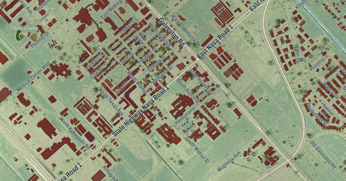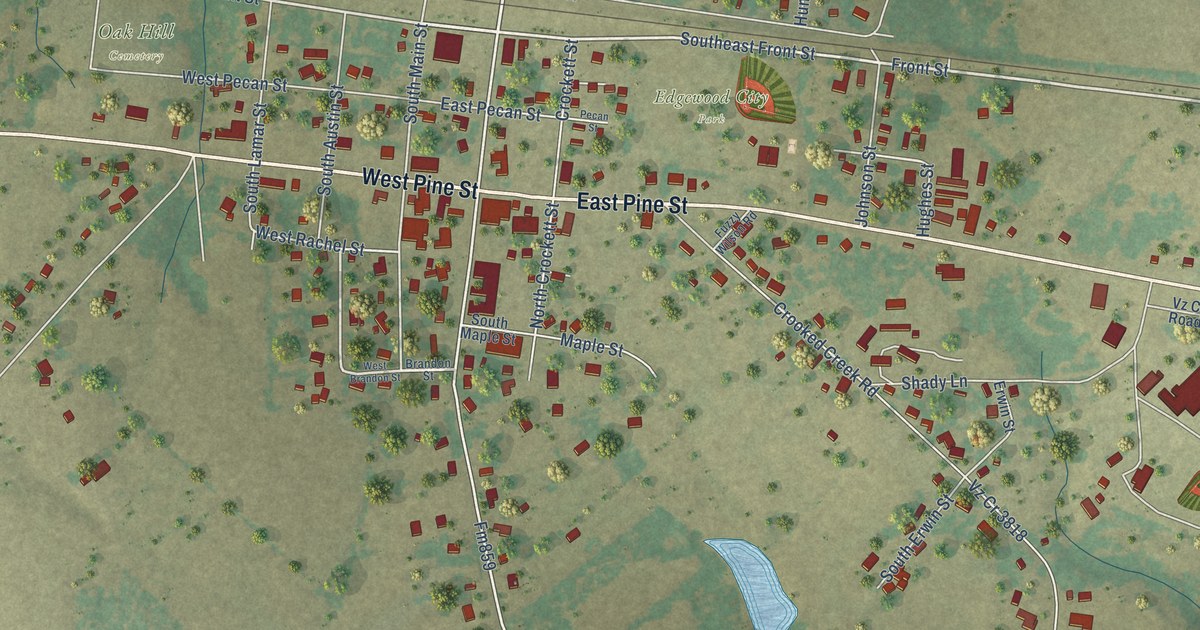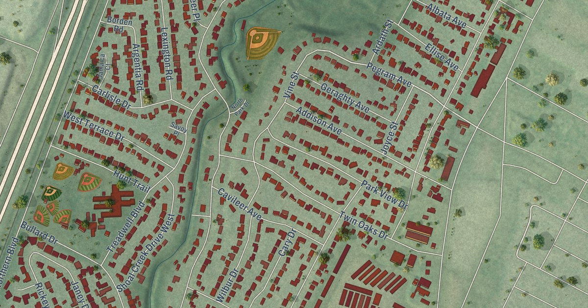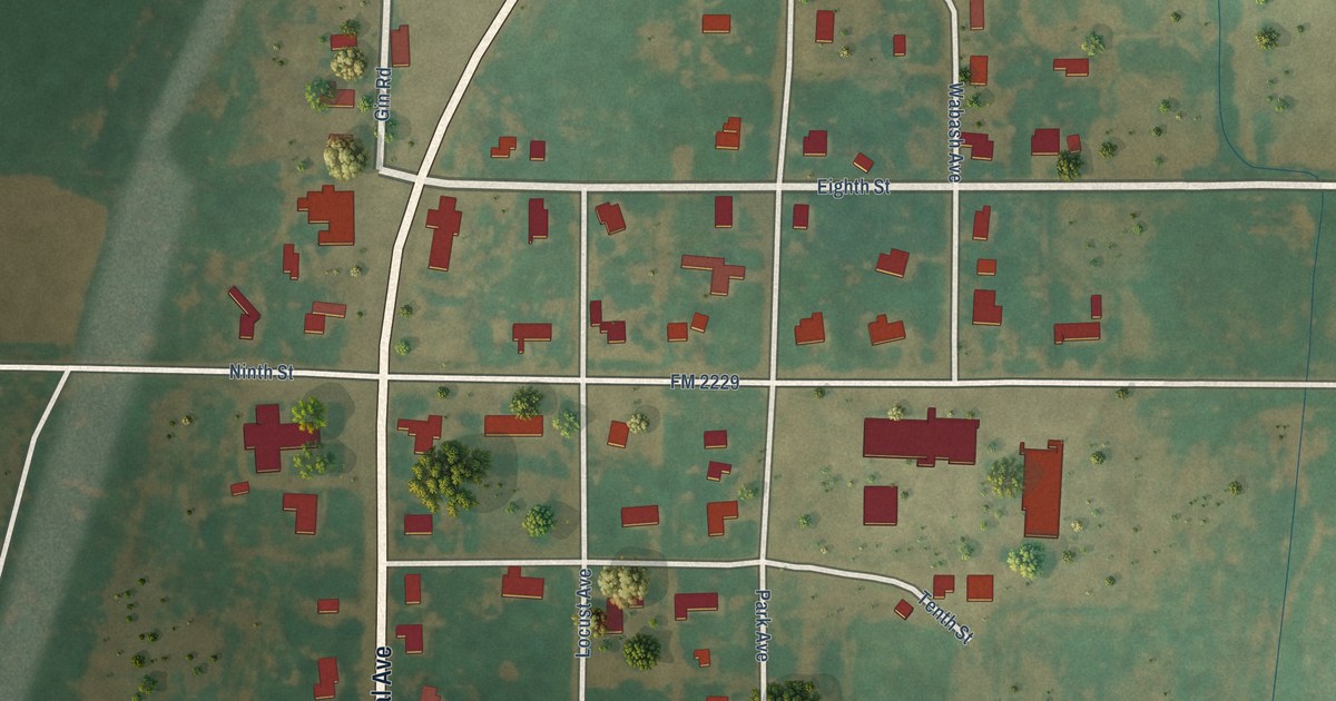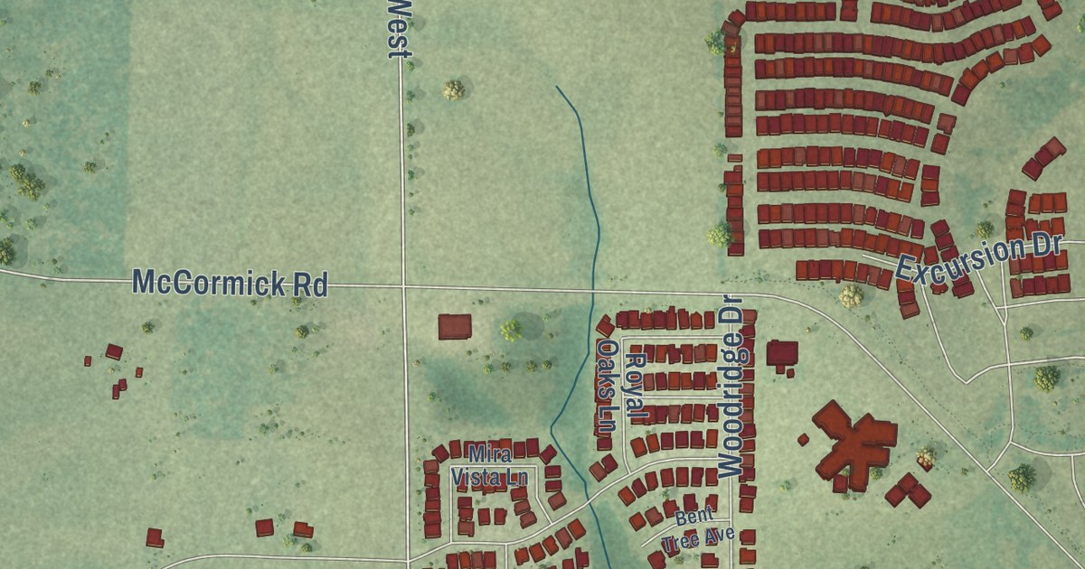
This beautifully detailed map of Oak Point, Texas was created in 2026 using aerial imagery combined with modern topographical, census, street and landmark data. It’s a one-of-a-kind view of Oak Point that combines accurate data with a vintage aesthetic. The map shows every building in its true location, many of the roads carry their names, and the shaded topographic relief shows the shape of the land.
Explore an aerial view of Oak Point, Texas
On the map you’ll find Yacht Club Road, Lakeshore Boulevard, Waters Edge Way, Dickson Lane, McCormick Road, Sunset Cove Lane, Ensign Lane, FM 720, FM 720 West, Martingale Trail, Emerald Sound Boulevard, Shahan Prairie Road, and more. If you look closely you can even find your house accurately drawn in its correct location. Zoom in on the preview to look for yours.
Did you know this about Oak Point, Texas?
From the Handbook of Texas: "Oak Point is a residential development on the northeastern shore of Lewisville Lake at the end of Farm Road 424 in Denton County."
Take a closer look at the Oak Point map
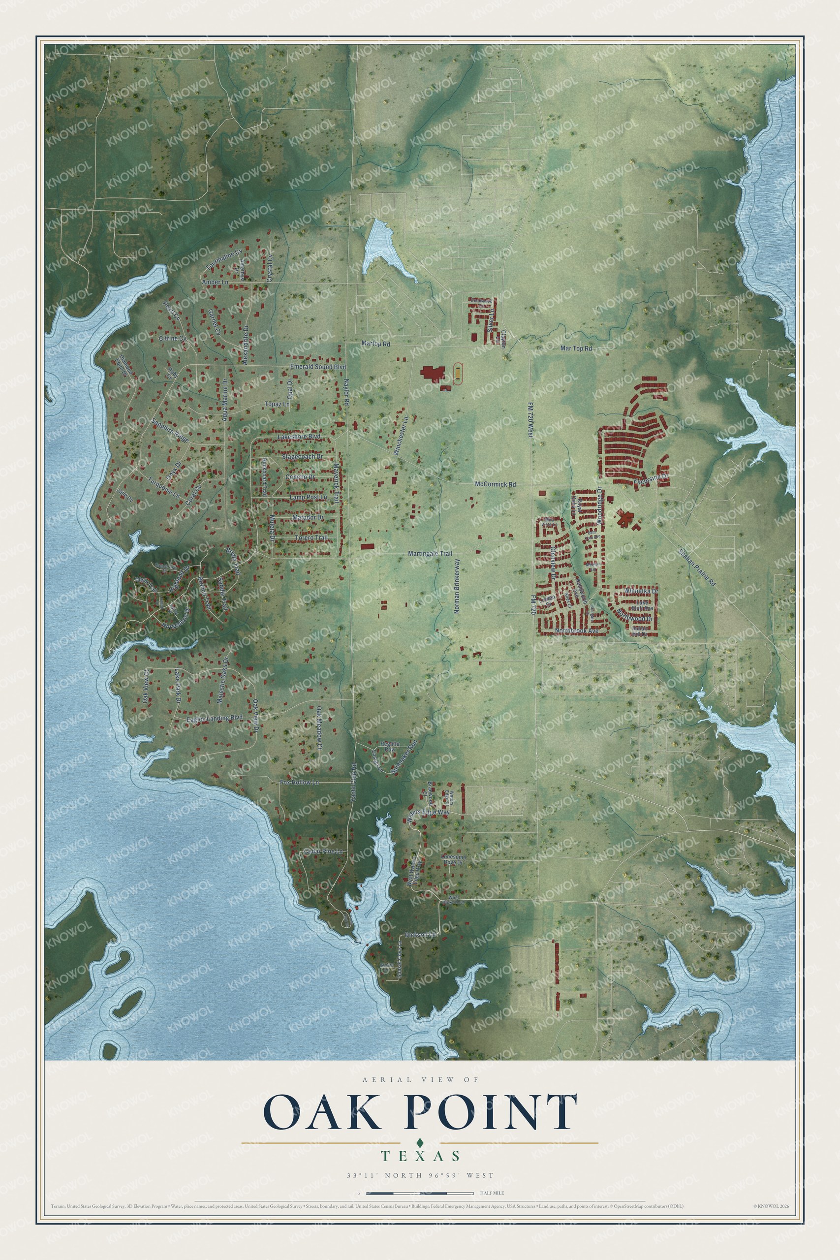
Street names on the Oak Point, Texas map
These names are printed on the map of Oak Point, Texas.
Streets and roads: Waters Edge Way, Dickson Lane, Lakeshore Boulevard, FM 720, Yacht Club Road, McCormick Road, FM 720 West, Martingale Trail, Emerald Sound Boulevard, Shahan Prairie Road, Oak View Drive, Martop Road.
More street names, A to Z
Alexandrite Drive, Amber Lane, Amethyst Drive, Aqua Marine Drive, Bent Tree Avenue, Braewood Court, Bridle Trail, Briergate Drive, Bronco Trail, Buckboard Trail, Cedar Pine Lane, Citrine Cv, Clayton Lane, Concho Drive, Coral Cv, Crystal Cv, Deadwood Lane, Diamond Point Drive, Dogie Trail, Eagles Landing Boulevard, Ensign Lane, Excursion Drive, Fox Hollow Lane, Garnet Cv, Glenview Drive, Groom Lane, Highland Drive, Hilltop Drive, Horseshoe Drive, Indian Hill Drive, Jade Cv, Kenilworth Avenue, Lake Bluff Avenue, Lake Park Drive, Lamp Post Lane, Linden Court, Lonesome Dove Drive, Majestic Oaks Drive, Mar Top Road, Matador Drive, Maverick Trail, Meeler Lane, Mira Vista Lane, Muleta Drive, Naylor Road, Niles Court, Norman Brinkerway, Northbrook Avenue, Northwood Drive, Oak Meadow Court, Oak View Court, Onyx Drive, Opal Drive, Pearl Cv, Regatta Row, Royal Oaks Lane, Ruby Cv, Saddle Trail, Sagebrush Drive, Sapphire Ridge, Silver Lane, Spinnaker Run, Stagecoach Drive, Sunset Cove Lane, Topaz Lane, Torero Trail, Tourmaline Cv, Turquoise Lane, Valley Drive, Waters Edge Court, West Dickson Lane, West Waters Edge Way, Winchester Lane, Winnetka Drive, Woodridge Drive, Yacht Club Circle.
See the Oak Point, Texas map on a wall
The Oak Point map as an 18 x 24 inch print in a black frame.

This beautifully detailed map of Oak Point makes an attractive addition to your office, library, or den, and it can even be used to teach children the geography and history of the area. It also makes a great gift for anyone who grew up in Oak Point or moved away. When you’re done exploring, click here to get your copy of the Oak Point map.