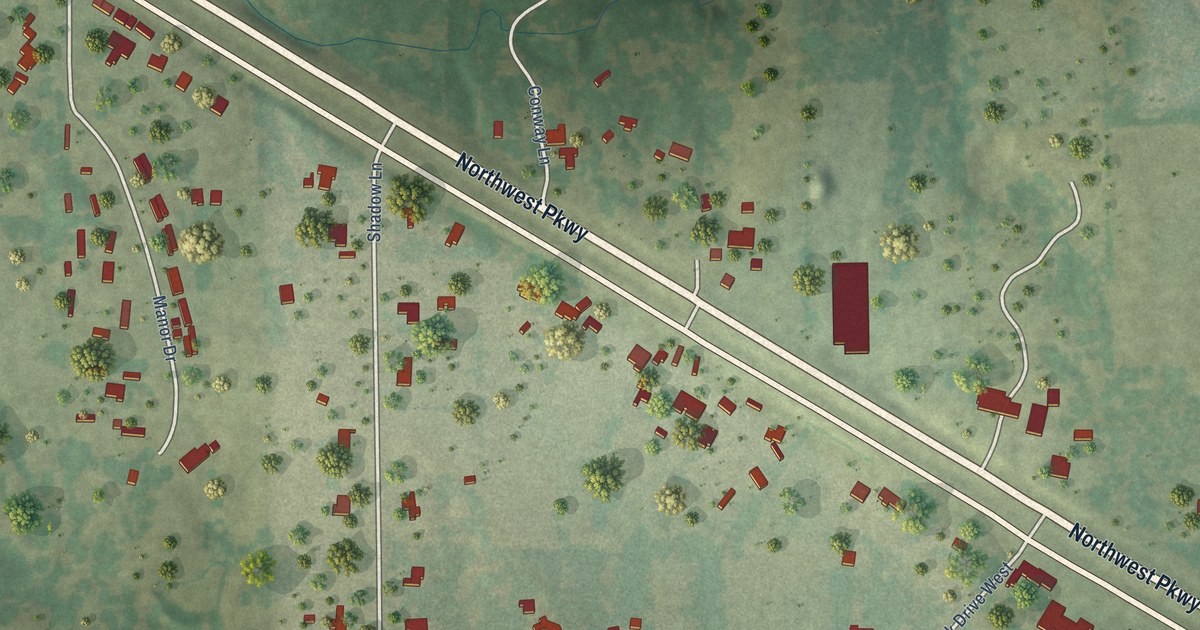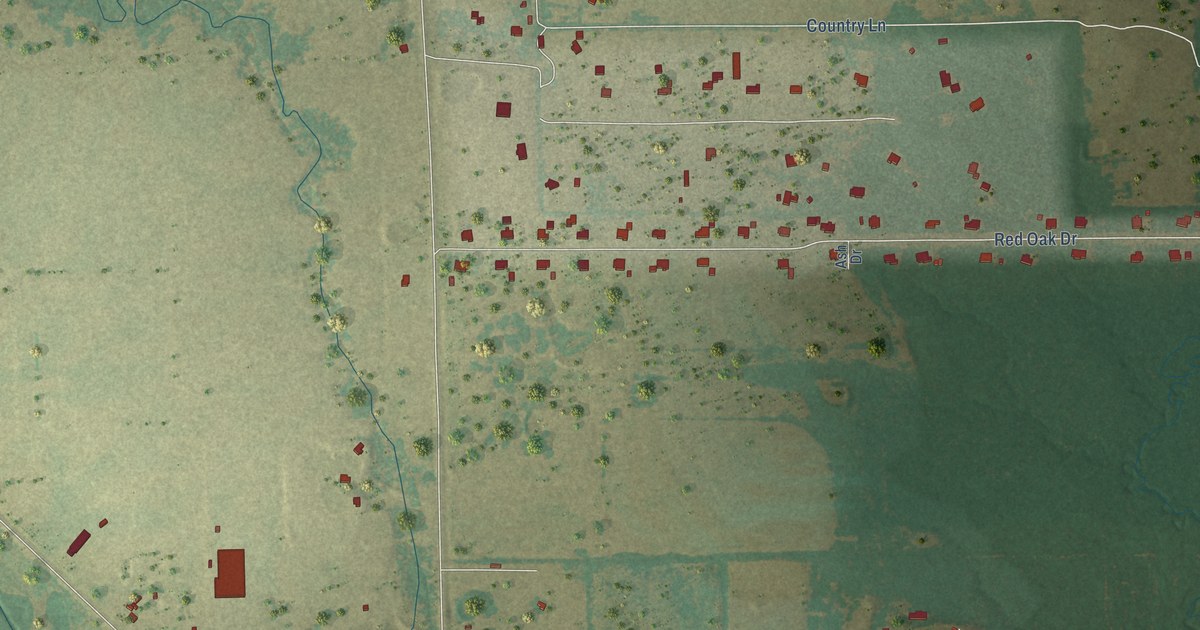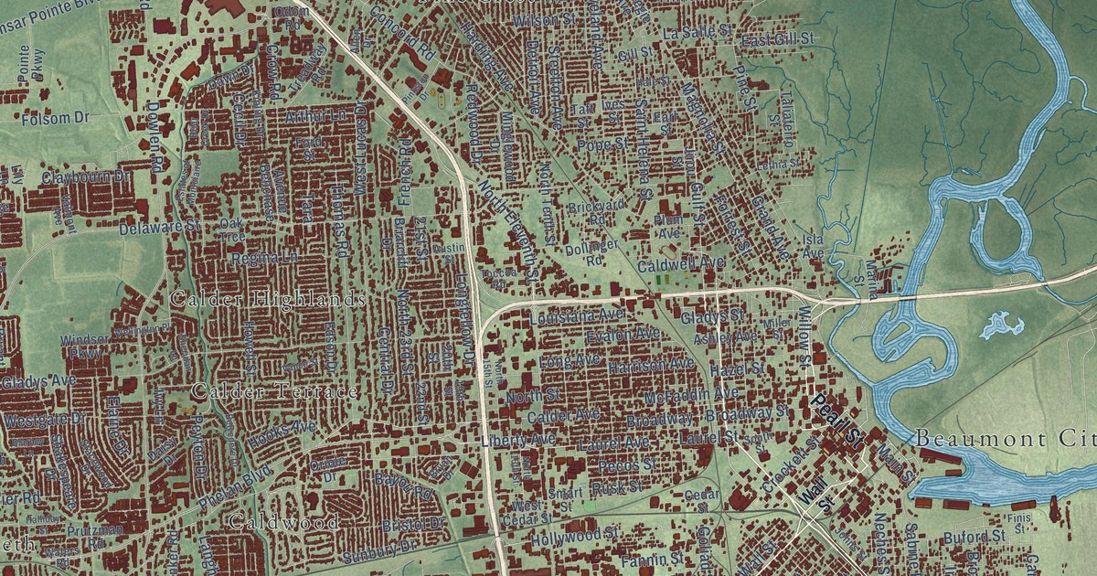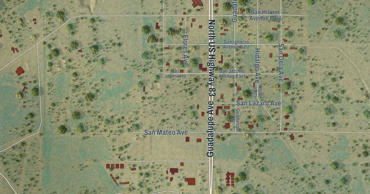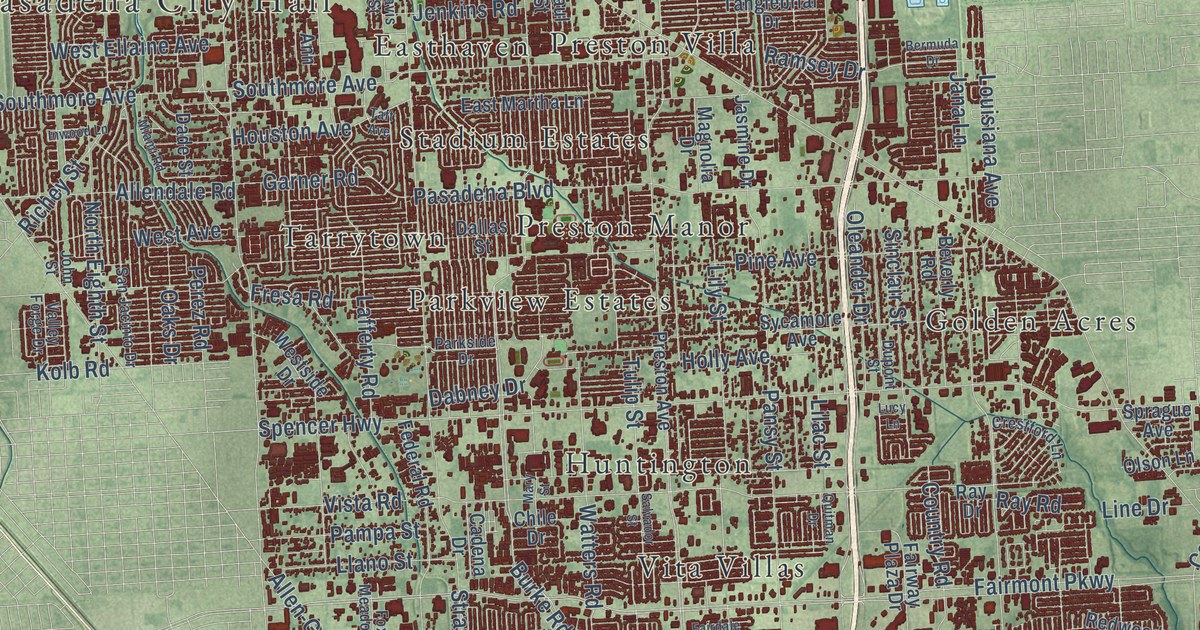
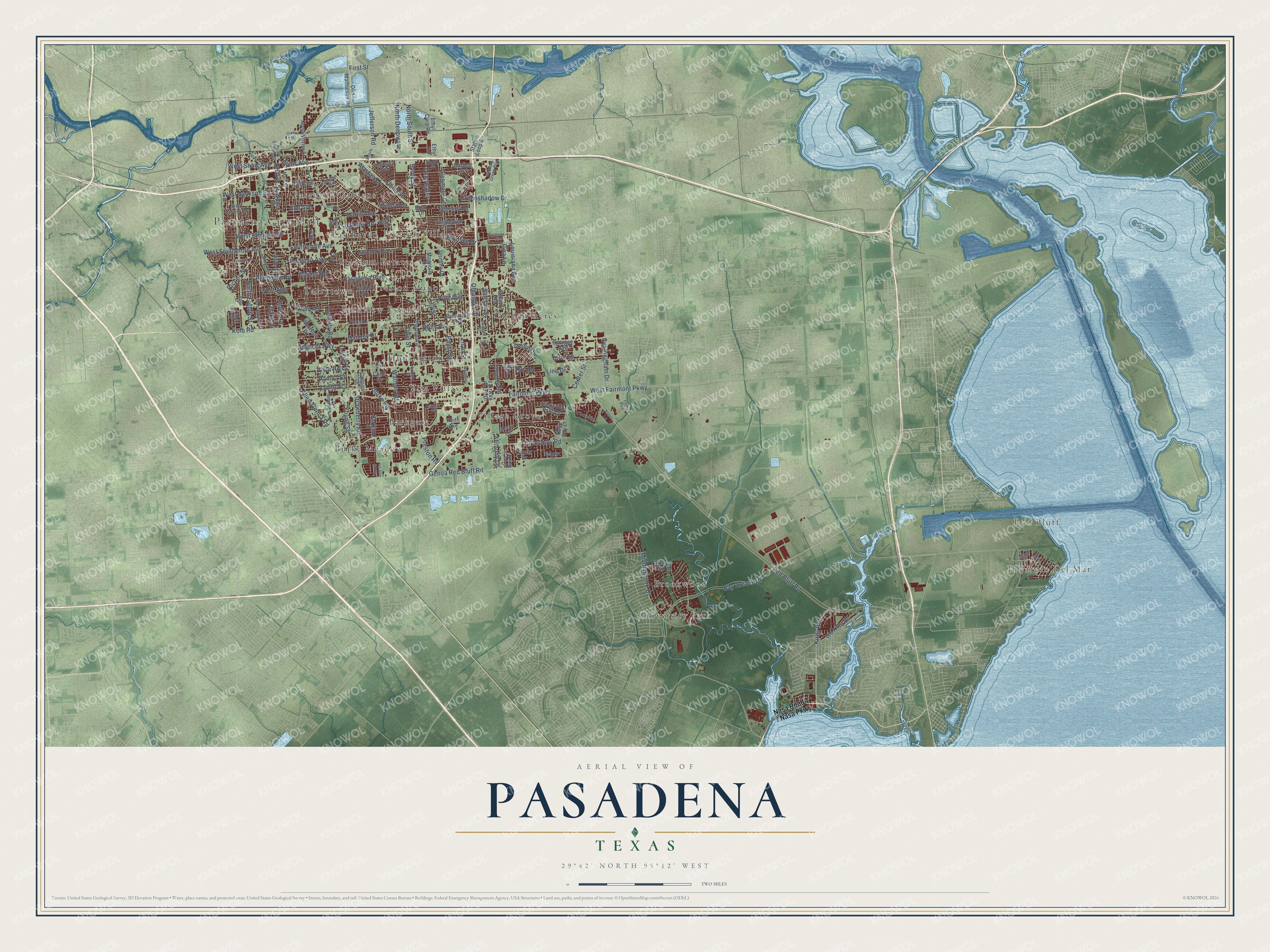
This beautifully detailed map of Pasadena, Texas was created in 2026 using aerial imagery combined with modern topographical, census, street and landmark data. It’s a one-of-a-kind view of Pasadena that combines accurate data with a vintage aesthetic. The map shows every building in its true location, many of the roads carry their names, and the shaded topographic relief shows the shape of the land.
Explore an aerial view of Pasadena, Texas
On the map you’ll find Pasadena City Hall, El Jardin Del Mar, Red Bluff, Barkgate, Brookwood, Burke Meadow, Easthaven, Golden Acres, Huntington, Parkview Estates, Parkview Manor, Pasadena Gardens, and more. If you look closely you can even find your house accurately drawn in its correct location. Zoom in on the preview to look for yours.
Did you know this piece of Pasadena, Texas history?
From the Handbook of Texas: "A four-year high school program was established in 1924 with the construction of Pasadena High School."
Take a closer look at the Pasadena map
Street and place names on the Pasadena, Texas map
These names are printed on the map of Pasadena, Texas.
Places: Pasadena City Hall, El Jardin Del Mar, Red Bluff, University Park, Burke Meadow, Village Grove, Golden Acres, Preston Villa, Parkview Estates, Barkgate, Pasadena Gardens, Vita Villas, Brookwood, Tarrytown, Huntington, Stadium Estates, Preston Manor and Easthaven.
Streets and roads: Red Bluff Road, Fairmont Parkway, Burke Road, Bay Area Boulevard, Spencer Highway, Pasadena Boulevard, Crenshaw Road, Strawberry Road, Genoa Red Bluff Road, Vista Road, Shaver Street, Allen-Genoa Road.
More street names, A to Z
Alastair Drive, Allendale Road, Ann, Anthony Lane, Arbor Lane, Bearle Street, Beltway Green Boulevard, Bermuda Drive, Beverly Road, Bond Street, Briar Drive, Cadena Drive, Center Street, Chile Drive, Country Road, Crestford Lane, Crown Street, Cunningham Drive, Dabney Drive, Dade Street, Dallas Street, Darling Avenue, Davis Street, Deepwater, Delta Street, Dupont Street, East Martha Lane, Edgefield Drive, Elm Avenue, Elm Street, Ethyl Corp Road, Ethyl Road, Fairdale Street, Fairway Plaza Drive, Federal Road, First Street, Fox Meadow Lane, Fresa Road, Garner Road, Ghana Lane, Glenmore Drive, Greenshadow Drive, Harris Avenue, Holly Avenue, Holly Bay Court, Houston Avenue, Ingersol Avenue, Inwood Lane, Jackson Avenue, Jana Lane, Jasmine Drive, Jefferson Road, Jenkins Road, John Street, Keith Avenue, Kemper Drive, Kirby Road, Kolb Road, Lafferty Road, Laura Lee Lane, Lilac Street, Lily Street, Line Drive, Llano Street, Louisiana Avenue, Lucy Lane, Luella Boulevard, Magnolia Drive, Main Street, Mary Street, Miami Road, Middlebrook Drive, North Deepwater, North Eighth Street, North Shaver Street, North South Street, North Witter Street, Oaks Drive, Old Kirby Road, Oleander Drive, Olin Mathieson Road, Olson Lane, Pampa Street, Pansy Street, Parkland Street, Park Lane, Parkside Drive, Parkwood Drive, Paul Street, Perez Road, Pine Avenue, Pine Street, Preston Avenue, Preston Road, Quitman Drive, Ramsey Drive, Ray Drive, Ray Road, Redwood Falls Drive, Richey Street, Salvador Street, Sands Drive, San Jacinto Drive, Scott Street, Shaw Avenue, Sinclair Street, Southmore Avenue, South Street, Sprague Avenue, Spring Oak Drive, State Loop 8, Sycamore Avenue, Taft Avenue, Tanglebriar Drive, Timberline Drive, Tulip Street, Valley Forge Drive, Walnut Pond Drive, Walter Street, Watters Road, West Avenue, West Ellaine Avenue, West Fairmont Parkway, West Jackson Street, West Shaw Avenue, Westside Drive, West Southmore Avenue, West Thomas Avenue, Windsor Lane, Young Street.
See the Pasadena, Texas map on a wall
The Pasadena map as an 18 x 24 inch print in a black frame.

This beautifully detailed map of Pasadena makes an attractive addition to your office, library, or den, and it can even be used to teach children the geography and history of the area. It also makes a great gift for anyone who grew up in Pasadena or moved away. When you’re done exploring, click here to get your copy of the Pasadena map.