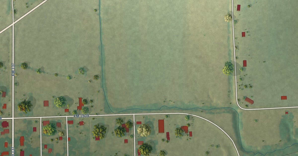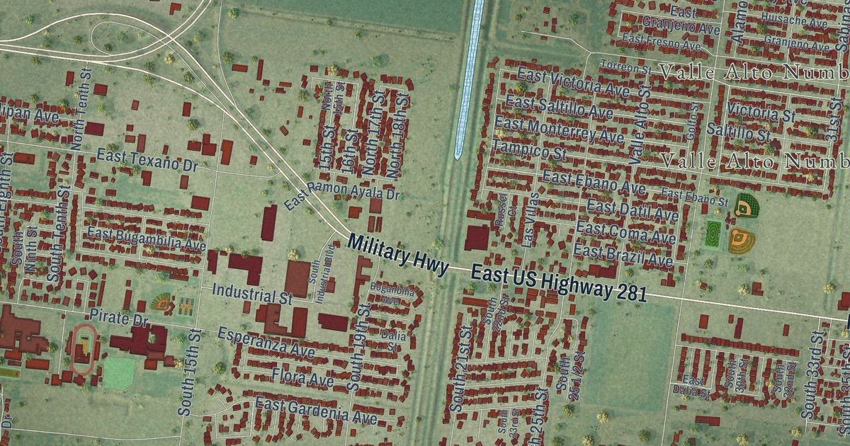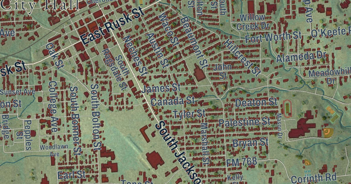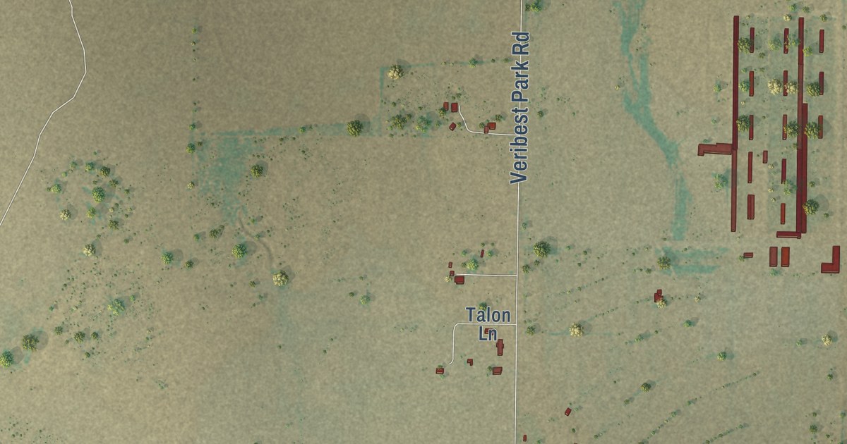
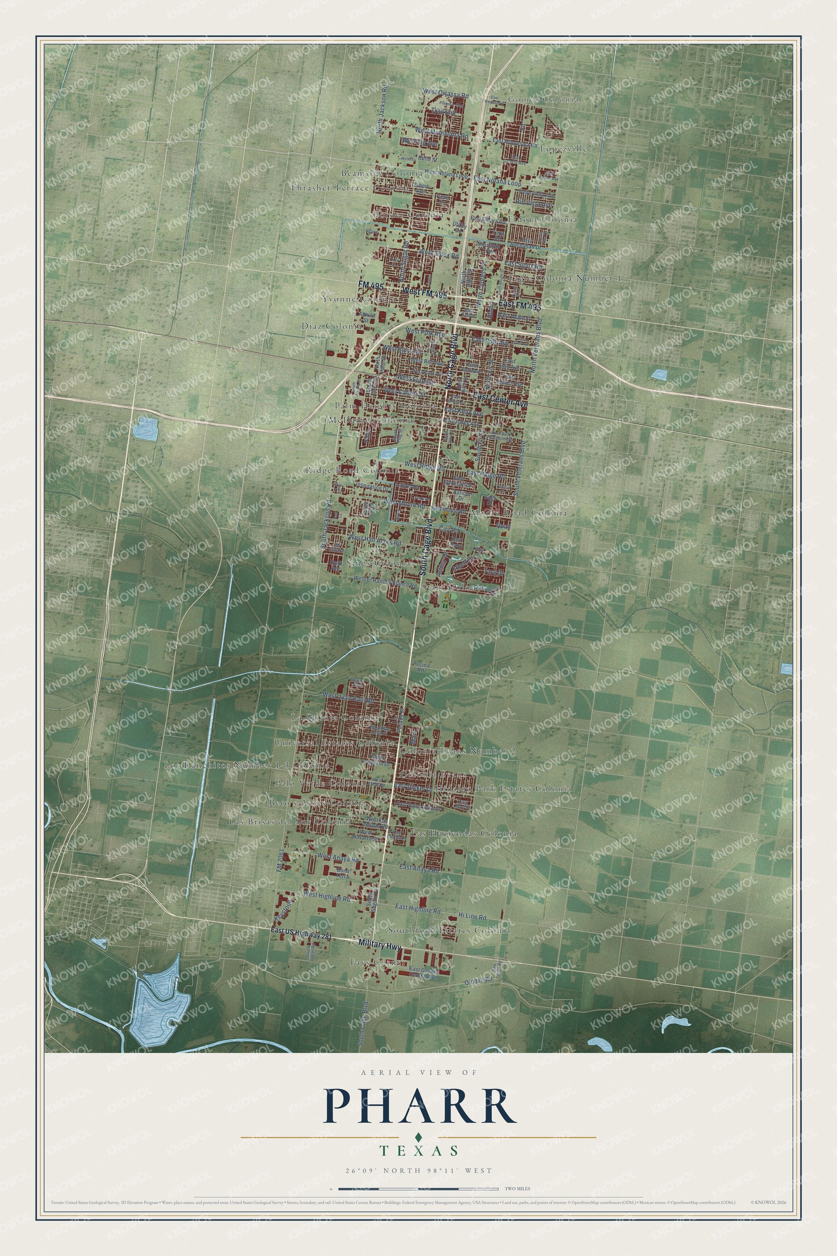
This beautifully detailed map of Pharr, Texas was created in 2026 using aerial imagery combined with modern topographical, census, street and landmark data. It’s a one-of-a-kind view of Pharr that combines accurate data with a vintage aesthetic. The map shows every building in its true location, many of the roads carry their names, and the shaded topographic relief shows the shape of the land.
Explore an aerial view of Pharr, Texas
On the map you’ll find Gomez Colonia, Beamsley Colonia, Beto’s Acres Colonia, Border Colonia, Colonia Evans, Colonia Evans Number 2, Diaz Colonia, El Sol Colonia, Eldora Colonia, Fays Corner, Hidalgo Park Estates Colonia, La Quinta Colonia, and more. If you look closely you can even find your house accurately drawn in its correct location. Zoom in on the preview to look for yours.
Did you know this piece of Pharr, Texas history?
From the Handbook of Texas: "In 1915 the town's population was estimated at 600, and by that year schools had opened, with Mexican students attending classes at the six-grade East Juárez school."
Take a closer look at the Pharr map
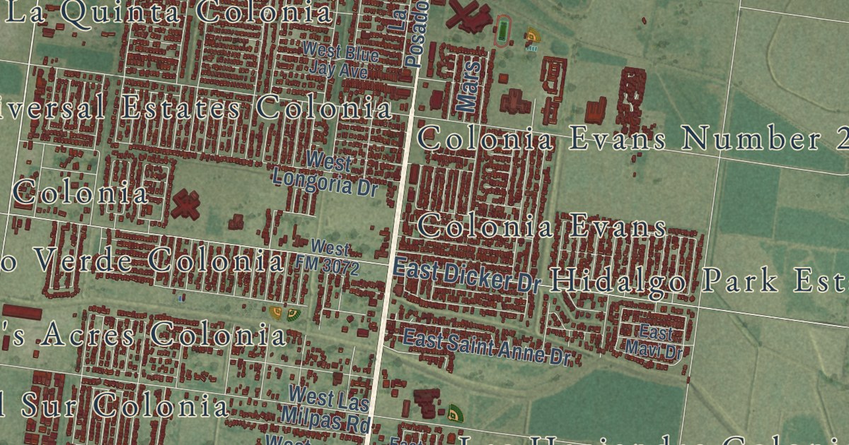
Street and place names on the Pharr, Texas map
These names are printed on the map of Pharr, Texas.
Places: Gomez Colonia, Fays Corner, Ridge Road Colonia, La Quinta Colonia, Tagle Colonia Number 1, Las Brisas del Sur Colonia, Diaz Colonia, Eldora Colonia, Beamsley Colonia, Sings Colonia, McDaniel Colonia, Moore Road Colonia, Southfork Estates Colonia, Hidalgo Park Estates Colonia, Border Colonia, Lopezville, Palo Verde Colonia, Colonia Evans Number 2, Palm Heights Colonia, Los Ranchitos Number 1-3 Colonia, Thrasher Terrace Colonia, Yvonne Colonia, Las Haciendas Colonia, Starr Colonia, Universal Estates Colonia, Beto's Acres Colonia and Colonia Evans.
Streets and roads: South Cage Boulevard, Military Highway, North Cage Boulevard, FM 495, West FM 495, East FM 495, East Center Avenue, FM 2061, South Jackson Road, North Jackson Road, North Veterans Boulevard, East Nolana Loop.
More street names, A to Z
Albrad Street, Apricot Drive, Ashley Drive, Bette Street, Bona Terra, City Road, Cll Espana, Curry Lane, Dahlia, East Alan Street, East Anaya Road, East Bell Avenue, East Buchanan Drive, East Caffery Street, East Canela Avenue, East Capote Central Avenue, East Dicker Drive, East Egly Avenue, East Eldora Road, East Eller Avenue, East Emil Street, East Encino Avenue, East Garrison Drive, East Highline Road, East Jones Avenue, East Juarez Avenue, East Kelly Avenue, East Mavi Drive, East Minnesota Road, East Moore Road, East Owassa Road, East Polk Avenue, East Puebla Drive, East Ridge Road, East Ruby, East Saint Anne Drive, East Sam Houston Avenue, East Sioux Road, East US Highway 281, Ebony, Elbert Avenue, Erica, Fir, Gran Villa, Hi Line Road, Hyatt Avenue, Inspiration Drive, Keystone, La Posado Street, Laurel Road, Mars, Melanie Drive, Monica Avenue, Mountain Trail, North Athol Street, North Birch Street, North Canna Street, North Cypress Street, North Fir Street, North Knight Street, North Palm Drive, North Ron Drive, North Sugar Road, Old Mil Road, Palm, Park Lane, Patricia Circle, Pearl Drive, Pecina Road, Plummer Trail, Quail, Rhett Court, Rhett Drive, Rio Vista Avenue, Sago Drive, San Juan Road, Sharm, South Athol Street, South Casa Road, South Fir Street, South Flag Street, South Lili Drive, South Petunia Street, South Seguin Drive, South Sugar Road, South Veterans Boulevard, Tara Drive, Trail End, Tulip Drive, Tuna Road, Utility Drive, Valle Vista Avenue, West Anaya Road, West Bell Avenue, West Blue Jay Avenue, West Caffery Street, West Egly Avenue, West El Rancho Blanco Road, Western, West Fig Avenue, West FM 3072, West Hall Acres Road, West Hawk Avenue, West Highline Road, West Juan Balli Road, West Las Milpas Road, West Longoria Drive, West Minnesota Road, West Moore Road, West Navarro Street, West Nolana Loop, West Owassa Road, West Polk Avenue, West Ridge Road, West Sioux Road, West State Street, Yellow Brick.
See the Pharr, Texas map on a wall
The Pharr map as an 18 x 24 inch print in a black frame.

This beautifully detailed map of Pharr makes an attractive addition to your office, library, or den, and it can even be used to teach children the geography and history of the area. It also makes a great gift for anyone with Pharr roots. When you’re done exploring, click here to get your copy of the Pharr map.