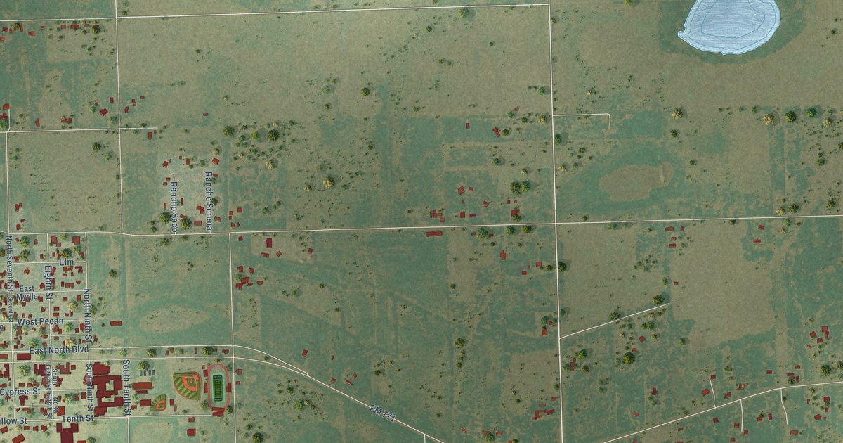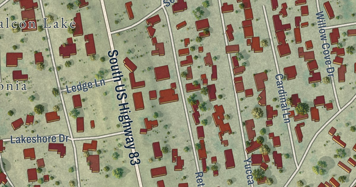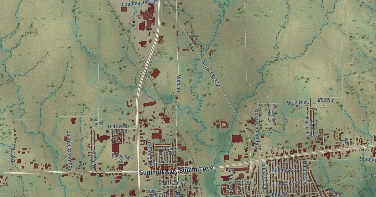
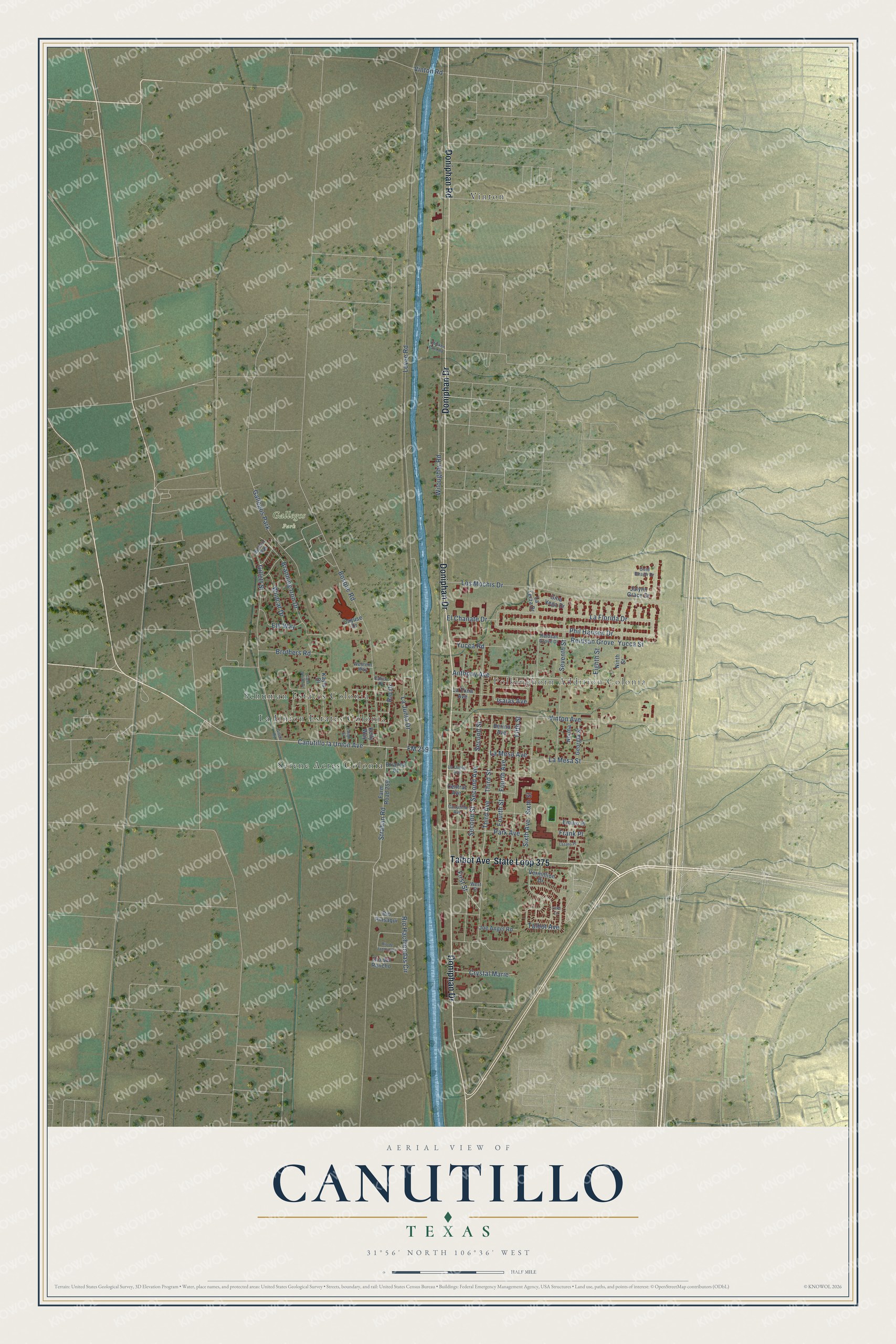
This beautifully detailed map of Canutillo, Texas was created in 2026 using aerial imagery combined with modern topographical, census, street and landmark data. It’s a one-of-a-kind view of Canutillo that combines accurate data with a vintage aesthetic. The map shows every building in its true location, many of the roads carry their names, and the shaded topographic relief shows the shape of the land.
Explore an aerial view of Canutillo, Texas
On the map you’ll find Polkinghorn Addition Colonia, Gallegos Park, La Union Estates Colonia, Schuman Estates Colonia, Serene Acres Colonia, and Vinton, along with Doniphan Road, Doniphan Drive, State Loop 375, Talbot Avenue, Gillett Street, FM 259, and more. If you look closely you can even find your house accurately drawn in its correct location. Zoom in on the preview to look for yours.
Did you know this piece of Canutillo, Texas history?
From the Handbook of Texas: "The Canutillo ranch became a principal source of income for James Wiley Magoffin, but in 1855 José Sánchez and others established their ownership as descendants of the original grantees."
Take a closer look at the Canutillo map
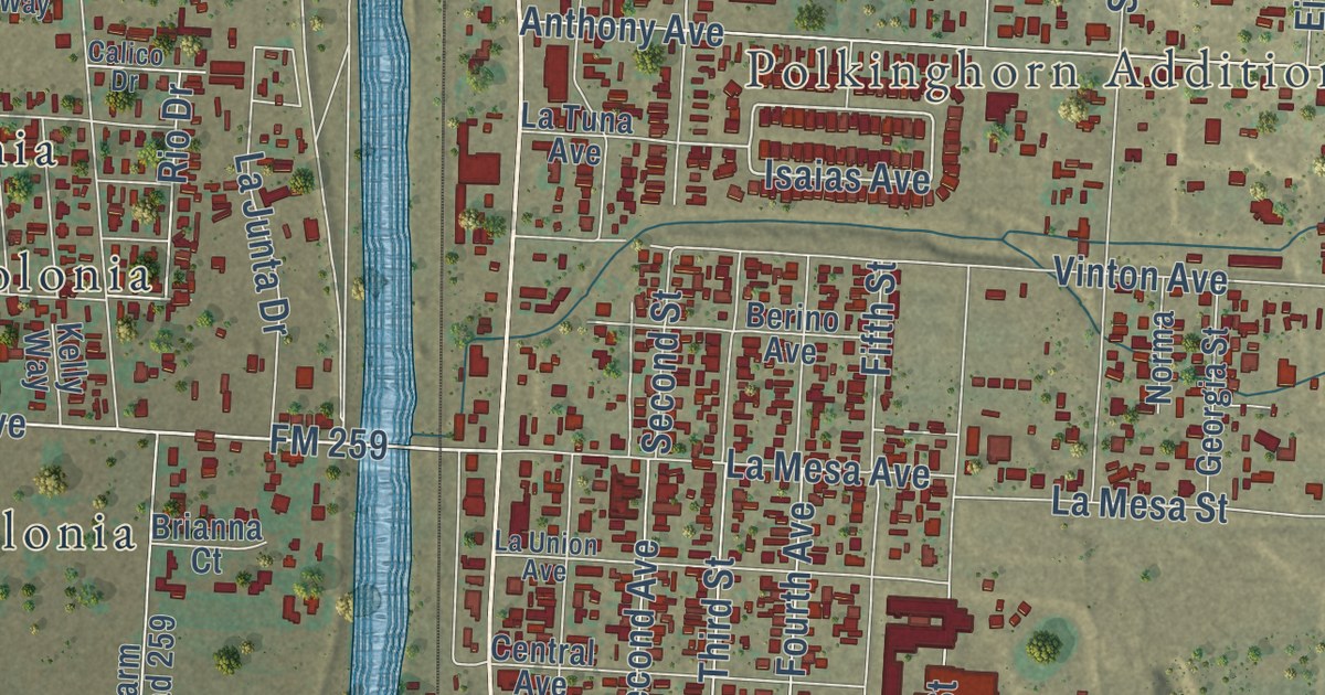
Street and place names on the Canutillo, Texas map
These names are printed on the map of Canutillo, Texas.
Places: Polkinghorn Addition Colonia, Gallegos Park, Vinton, Schuman Estates Colonia, La Union Estates Colonia and Serene Acres Colonia.
Streets and roads: Doniphan Road, Doniphan Drive, State Loop 375, Talbot Avenue, Canutillo la Union Avenue, Isaias Avenue, FM 259, Second Street, Levee Road, Strahan Road, Bosque Road, First Street.
More street names, A to Z
Anthony Avenue, Berino Avenue, Branding Iron Drive, Brianna Court, Bronco Way, Brothers Road, Calico Drive, Canutillo Avenue, Casa Verde Drive, Cayuse Drive, Central Avenue, Chicken Farm Road, Crystal Marie, Eighth Street, El Chanate Drive, Elk Way, Emilio Place, Farm Road 259, Fifth Street, Fourth Avenue, Fourth Street, Frank Place, Georgia Street, Gillett Road, Gillett Street, Gina Vega Drive, Gold Beach Drive, Jalynn Grace Drive, Joe Angel Road, Kayla Drive, Kelly Way, La Florida Drive, La Junta Drive, La Mesa Avenue, La Mesa Street, La Terza Drive, Latigo Street, La Tuna Avenue, La Union Avenue, Lazaro Place, Little Lane, Los Mochis Drive, Ninth Street, Norma, Park Avenue, Phil Hansen Drive, Reidsan Grove, Reidsan Grove Drive, Rio de Jazmin Circle, Rio del Rancho, Rio Drive, Rio Hachiendas Circle, Rio Pinsaqui, Second Avenue, Seventh Street, Sixth Avenue, Sixth Street, Third Avenue, Third Street, Vermillion Drive, Vinton Avenue, Vinton Road, Western Way, West Street, Wildcat Drive, Wiloughby Road, Yucca Road, Yucca Street.
See the Canutillo, Texas map on a wall
The Canutillo map as an 18 x 24 inch print in a black frame.

This beautifully detailed map of Canutillo makes an attractive addition to your office, library, or den, and it can even be used to teach children the geography and history of the area. It also makes a great gift for anyone who grew up in Canutillo or moved away. When you’re done exploring, click here to get your copy of the Canutillo map.